 Because we spent fifteen days along the Oregon
coast,
Because we spent fifteen days along the Oregon
coast,we have split our travels along the coast into four pages.
On the road along the Oregon coast - 2008 . . .
during our travels in the
Pacific Northwest
Page 4 of 4
Updated: 11/30/08
Because we spent fifteen days along the Oregon
coast,
we have split our travels along the coast into four pages.
Use the links below to move around Page 4.
Cape Perpetua . . . Winchester Bay - Salmon Harbor . . . South Jetty - Bandon, OR . . .
Cape Blanco State Park . . . Cape Blanco Lighthouse . . . Back at camp . . .
Bullards Beach State Park . . .
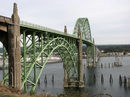
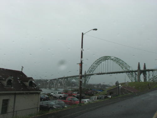
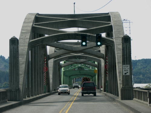
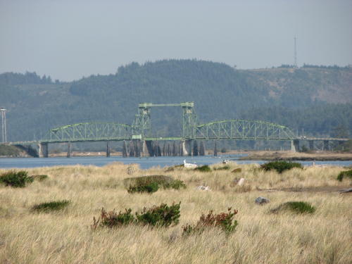
A different look at the bridge we have driven on many times.
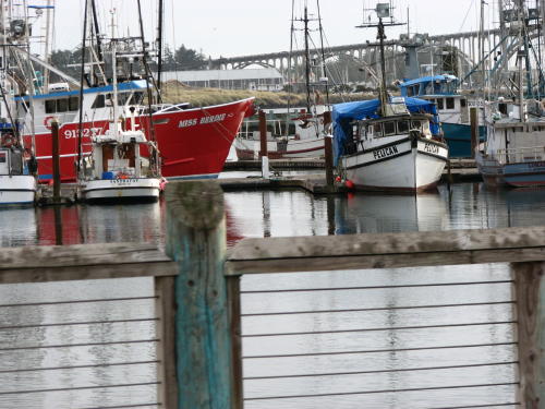
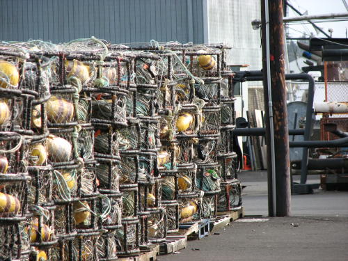
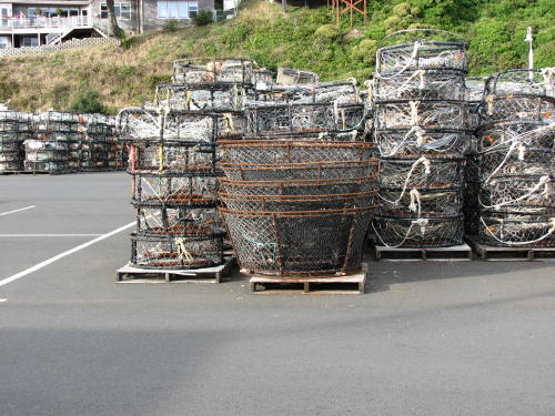
 The
docks of Newport were quiet as it was the end of the season
for the ocean crab fisherman. Bay crab were still in season. The crab traps were
stacked all over. Many were covered to protect them from the weather. We spoke
with a gal from the Port Authority. She told us many factors will decide when the season opens - testing
crabs for size, quality and abundance of stock. Generally the season runs
December to August.
The
docks of Newport were quiet as it was the end of the season
for the ocean crab fisherman. Bay crab were still in season. The crab traps were
stacked all over. Many were covered to protect them from the weather. We spoke
with a gal from the Port Authority. She told us many factors will decide when the season opens - testing
crabs for size, quality and abundance of stock. Generally the season runs
December to August.


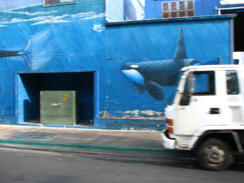
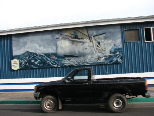
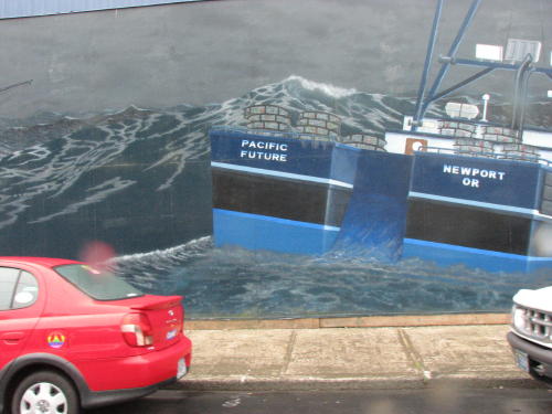
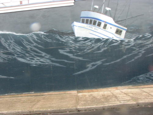
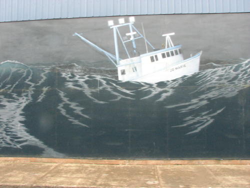
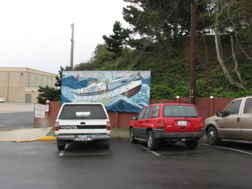
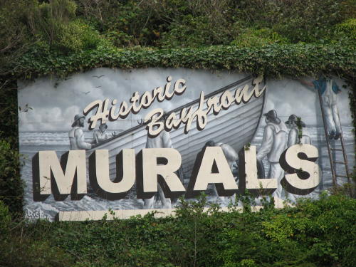 Murals
were painted on many of the waterfront building.
Murals
were painted on many of the waterfront building.

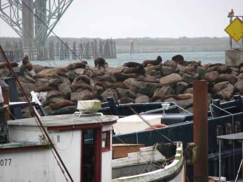
As we walked down the sidewalk, the harbor seals could be heard from a block away.

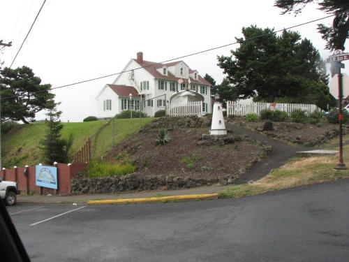
The Coast Guard station overlooked the harbor.
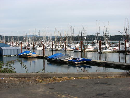
 We
had two purposes for going to Old Town. One was to see what the operating
waterfront looked like. The other was to buy a Dungeness grab for dinner.
We
had two purposes for going to Old Town. One was to see what the operating
waterfront looked like. The other was to buy a Dungeness grab for dinner.
Just as we were leaving Old Town, the rain got heavy.
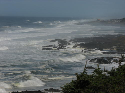
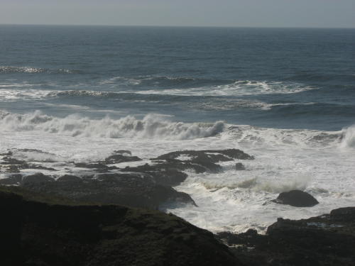
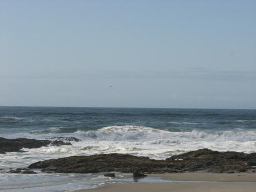
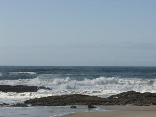
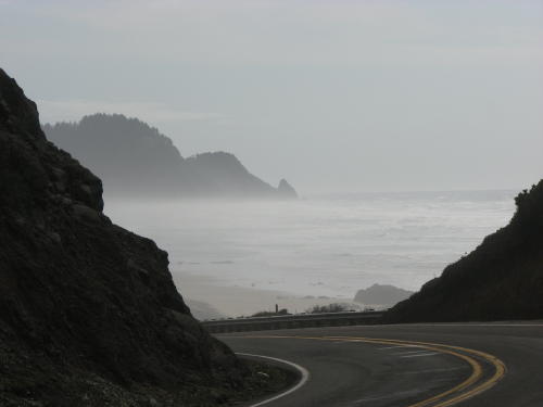
The next day was a little foggy as we headed south again.
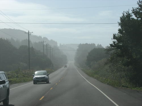
That did not mean we did not stop frequently at pull-offs to see what we could see. At least the fog was not so heavy as to block out all views.
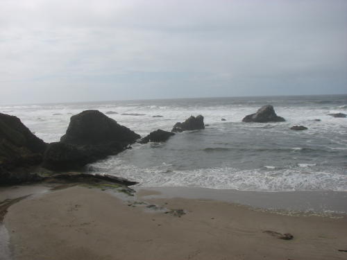

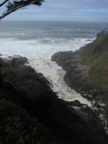
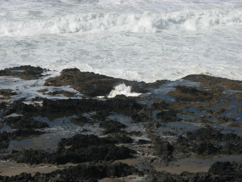
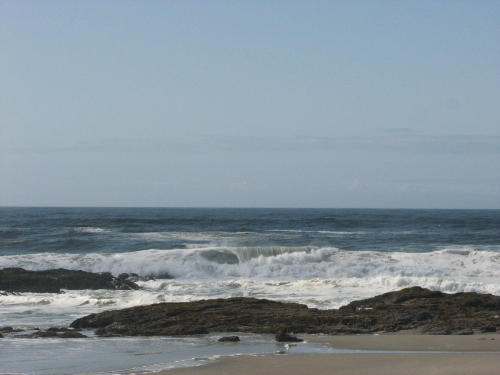
The water against the rocks created a froth that added another color to the scene.
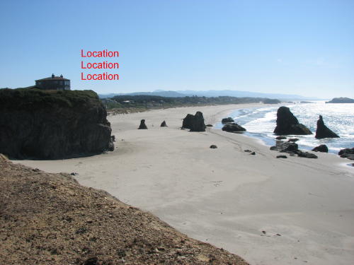
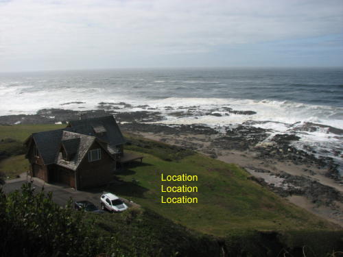 There
were many examples of the three most important thing in real estate as we
drove along the Oregon coast.
There
were many examples of the three most important thing in real estate as we
drove along the Oregon coast.
 This
visitor center didn't offer too much. The videos about the whale that was nursed
back to health after ingesting plastic was good. The sand dune video was okay.
We had seen the Mount St. Helens video.
This
visitor center didn't offer too much. The videos about the whale that was nursed
back to health after ingesting plastic was good. The sand dune video was okay.
We had seen the Mount St. Helens video.
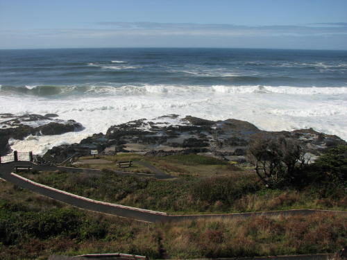
This area is more than 800 feet above the shoreline. The highest viewpoint accessible by car on the Oregon Coast.
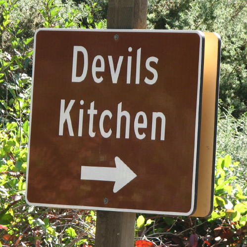
Devils Churn . . .
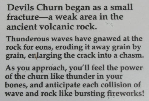
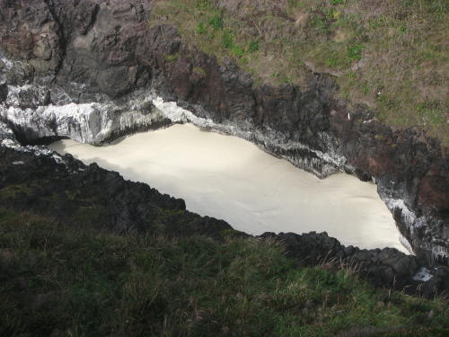
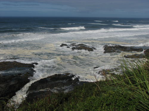
It looked like milk.
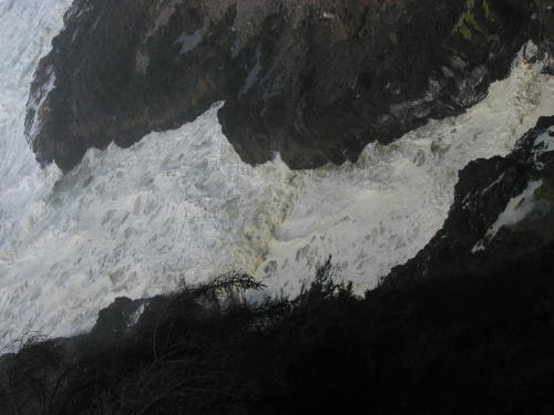 ROTATE ORIGINAL 0925 183

Nice tree . . .

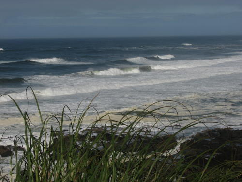
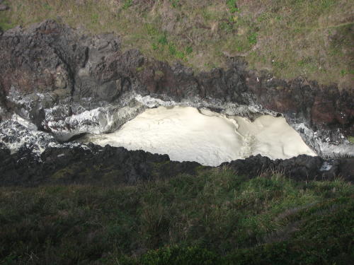
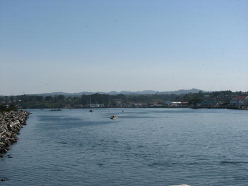
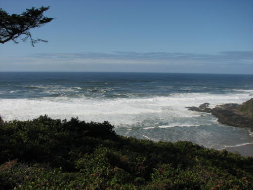 This inlet was much more calm.
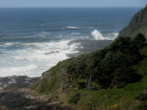
This spouting hole in a rock turned out not to THE spouting rock.

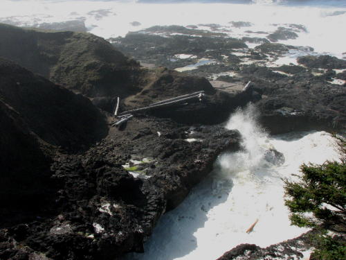 The
real spouting rock did not cooperate very well. It perform better at high tide
or during a storm.
The
real spouting rock did not cooperate very well. It perform better at high tide
or during a storm.
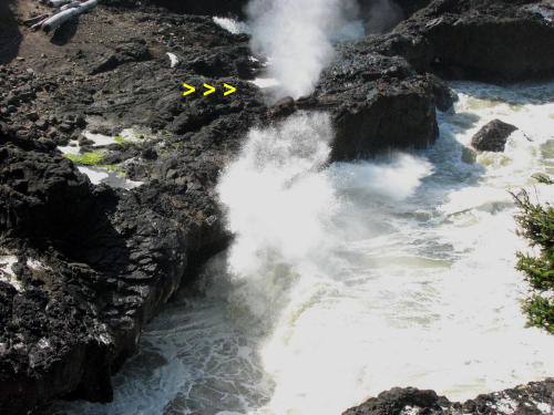
After waiting a long time for it to finally act like a spout, we missed most of it. Oh well, back to the truck.
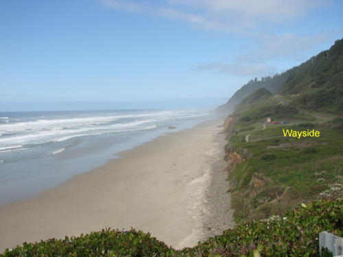
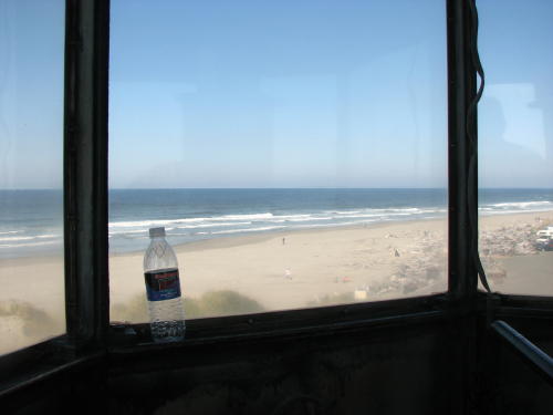
It isn't hard to find a nice place for lunch along the Oregon coast. Just head for one of the state's many waysides, open the refrigerator and enjoy.


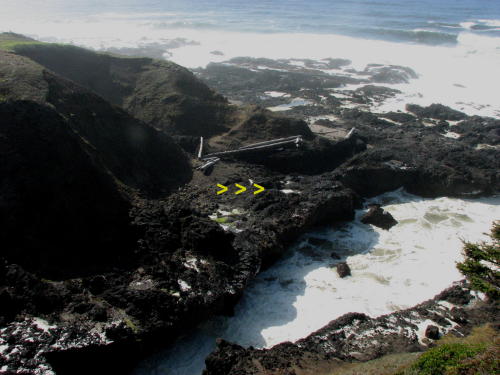
This photograph is darkened to show the mist better.
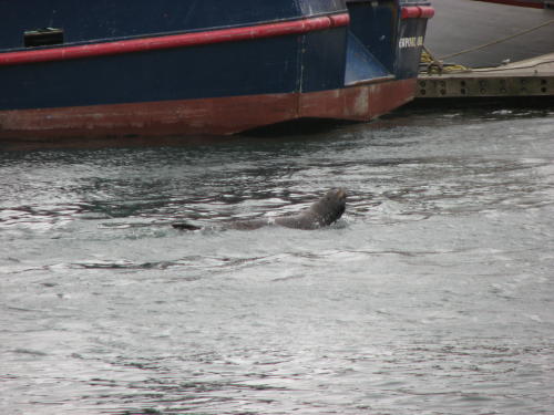
Splash!
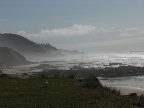
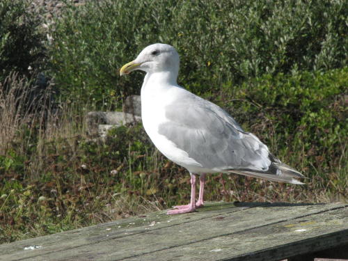
None of our lunch for this fellow . . .
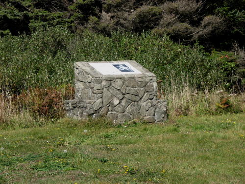
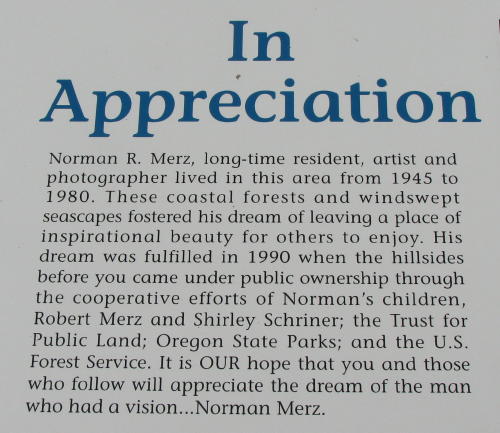
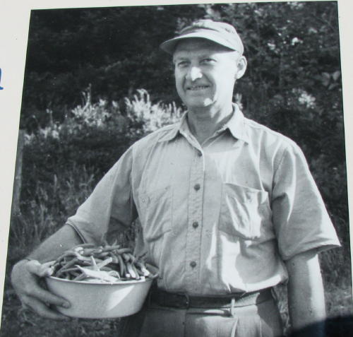
We wondered how the State of Oregon obtained so much prime land along the coast. The information plaque at this this wayside helped our understanding of one method.
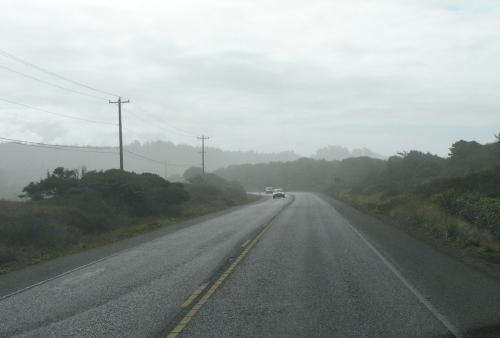
Down the road a little the mist was more evident.
This is another example of a wayside on prime costal land.
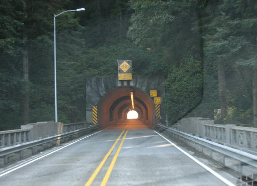
This was a very long tunnel.

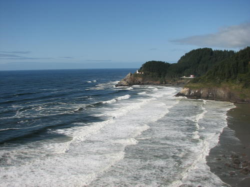
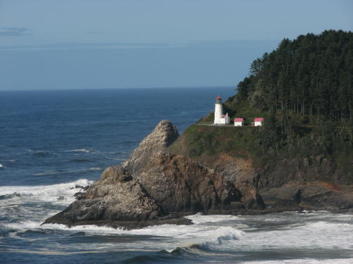
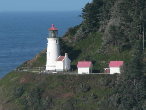
Heceta Head Lighthouse sits 205 feet above the ocean 12 miles north of Florence. It was built in 1893. The lightkeeper's house, Heceta House, is now a bed and breakfast.
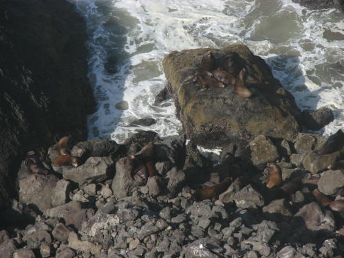
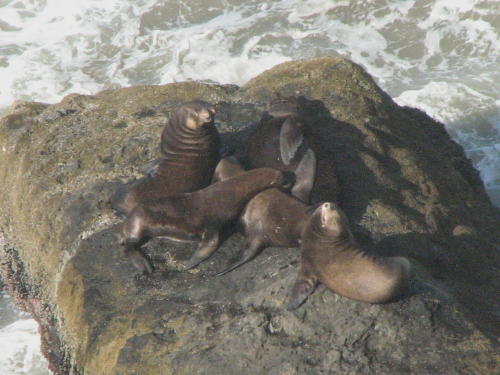
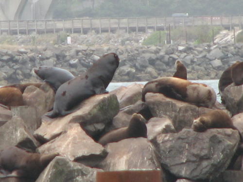
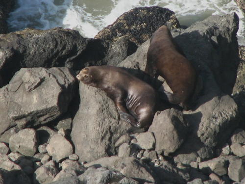 We were considering a tour in a the largest sea lion cave until a guy
standing looking at these sea lions said there were none in the cave.
Apparently, all of the sea lions were out hunting and playing. While we
were in the gift shop, the owner told the ticket seller that there was ONE in
the cave for the last tour. Wow! We didn't take the tour.
We were considering a tour in a the largest sea lion cave until a guy
standing looking at these sea lions said there were none in the cave.
Apparently, all of the sea lions were out hunting and playing. While we
were in the gift shop, the owner told the ticket seller that there was ONE in
the cave for the last tour. Wow! We didn't take the tour.
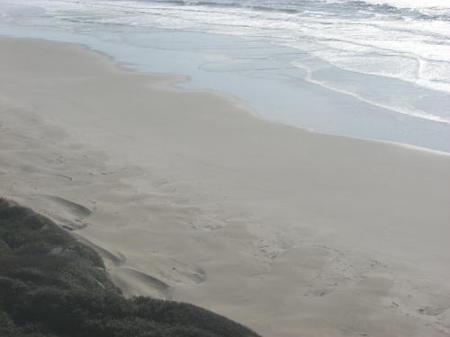
Big footprints in the sand?
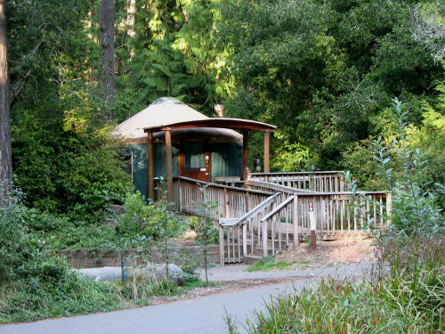 If you have been looking at our Campsites
page, you may have noticed the similarities of the Oregon state parks. All have
an asphalt pad, water, electric and many have sewer ($20-$22). Trees or bushes generally
line three side. All parks have Yurts for about $8 more a night - seems better
than a tent to us.
If you have been looking at our Campsites
page, you may have noticed the similarities of the Oregon state parks. All have
an asphalt pad, water, electric and many have sewer ($20-$22). Trees or bushes generally
line three side. All parks have Yurts for about $8 more a night - seems better
than a tent to us.

We have been pleased with them and used them frequently on our Oregon coast travels. We arrived at the Bullard State Park late in the afternoon. Because it was a weekend, we had made reservations.
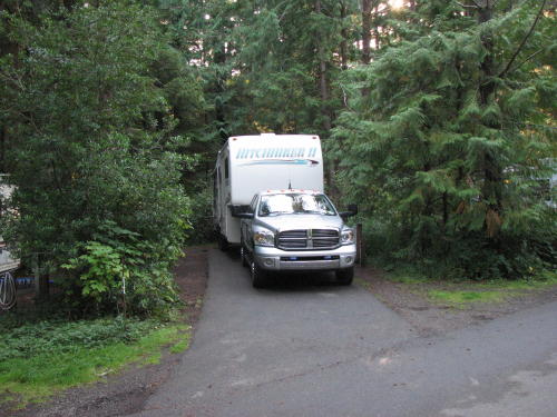
We left the HHII in camp and took a day trip farther down the coast.
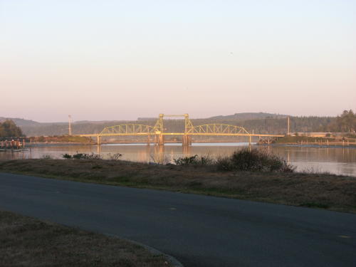
Another decorative bridge by Conde McCullough over the Umpqua River.

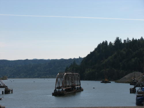
And one that rotates . . .
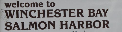
Winchester Bay - Salmon Harbor . . .
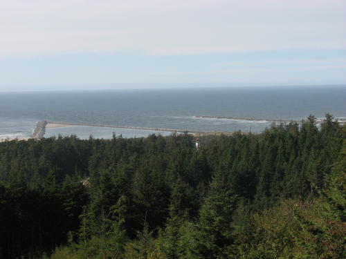
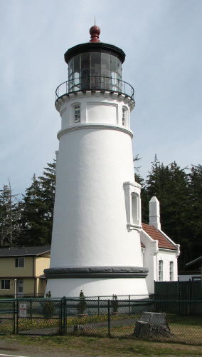
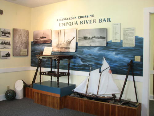
 This
was an interesting stop. We have learned a lot about the west coast
lighthouses on our trip.
This
was an interesting stop. We have learned a lot about the west coast
lighthouses on our trip.
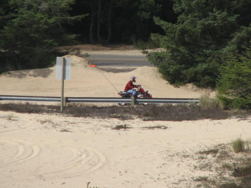
The William Tugman State Park offered a place for people to play on their ATVs. (If you don't know the toy lingo, "All-terrain Vehicles")

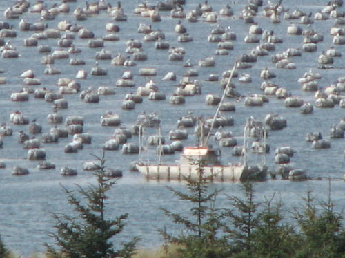
 The
triangle was originally built as a training exercise for the Coast Guard. A commercial oyster farm was inside the triangle.
These oysters have an unique taste because the triangle contains 80% salt water
and 20% fresh water. The tour guide explained
some of the labor intensive process of an oyster farm.
The
triangle was originally built as a training exercise for the Coast Guard. A commercial oyster farm was inside the triangle.
These oysters have an unique taste because the triangle contains 80% salt water
and 20% fresh water. The tour guide explained
some of the labor intensive process of an oyster farm.

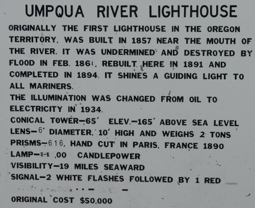
The Umpqua Lighthouse tour was well done. An interesting fact - the county leases the lighthouse from the Coast Guard so they can give tours.


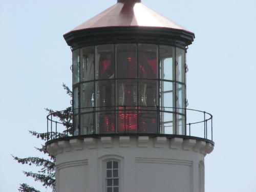
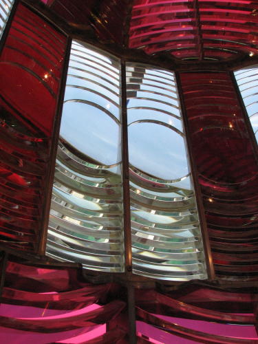
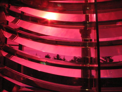
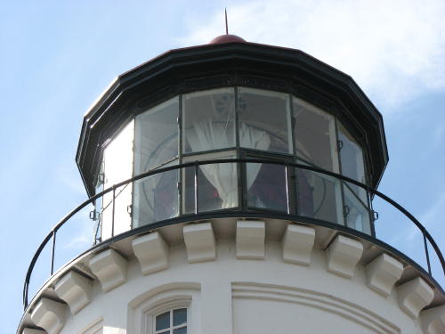 The
curtains were used to protect the lens from the sun during the off-hours.
The
curtains were used to protect the lens from the sun during the off-hours.
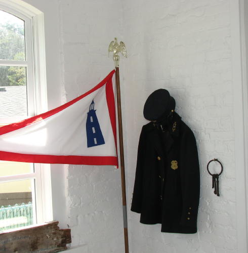 We
heard more about the ridged cleanliness regulations imposed on the lighthouse
keeper and his wife. The keeper had to be in uniform all the
time. Each keeper had a white cloak he put on over his uniform while he
cleaned the building and the lenses of the light.
We
heard more about the ridged cleanliness regulations imposed on the lighthouse
keeper and his wife. The keeper had to be in uniform all the
time. Each keeper had a white cloak he put on over his uniform while he
cleaned the building and the lenses of the light.
The lighthouses were inspected several times a year. Each inspection was a surprise, often the inspector arrived in the middle of the night. So the residence and lighthouse had to be in clean and neat at all times.
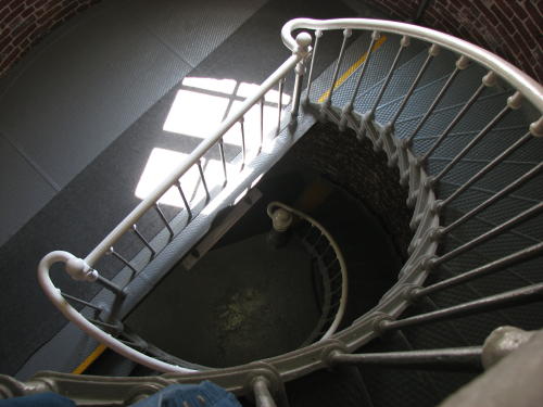
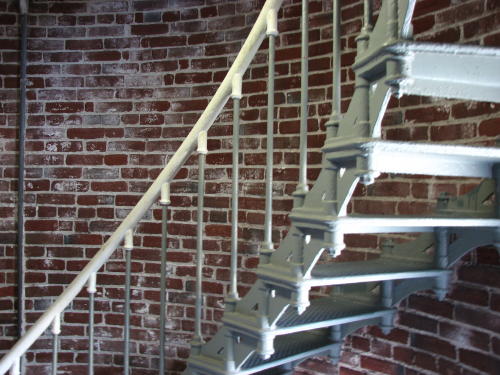
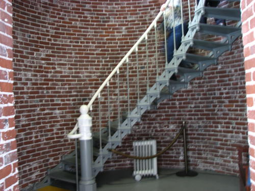
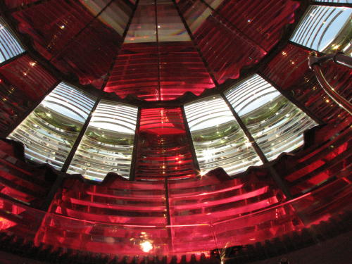
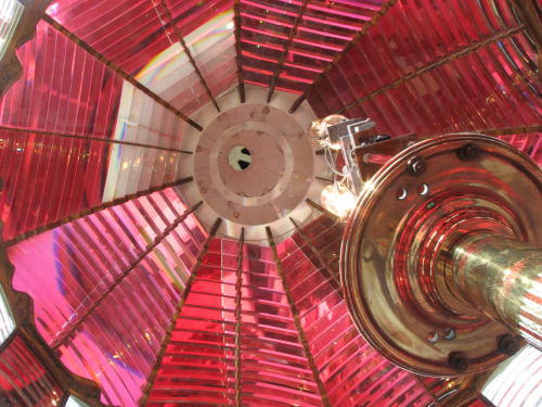
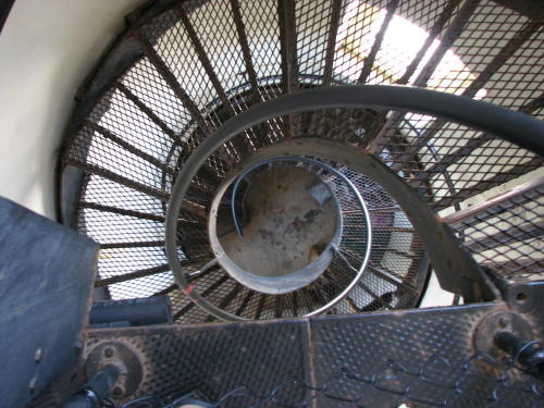
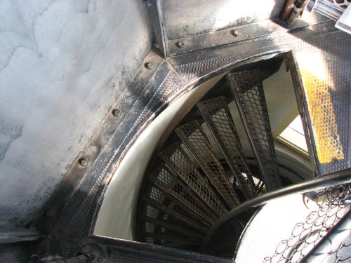
Like many lighthouses, we could climb the stairs . . .
. . . In this one we could also stick our heads in the lens.
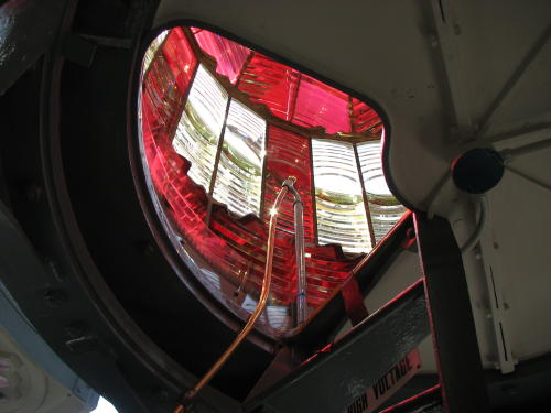
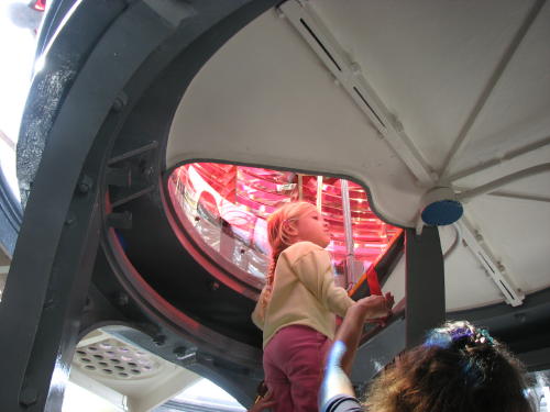
Very interesting . . .
An operating bulb and a backup bulb waiting for its time to serve.
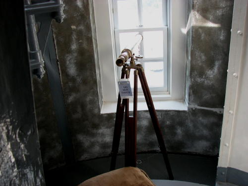 The
keeper could watch for ships.
The
keeper could watch for ships.
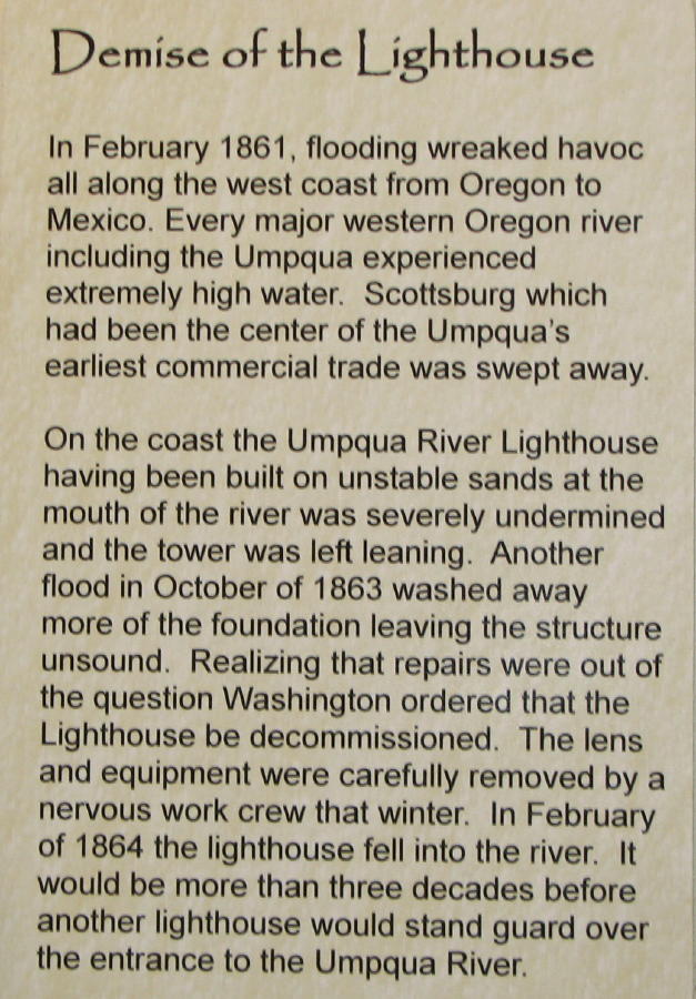 The
original lighthouse was damaged during floods in 1861 and 1863.
The
original lighthouse was damaged during floods in 1861 and 1863.
Its foundation was so weak, it fell into the river in 1864.
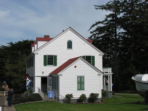
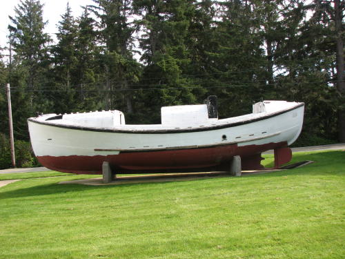
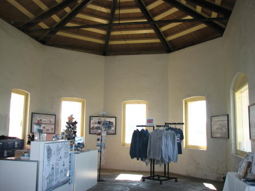
The old Coast Guard barracks is now a museum and gift shop. The three-man boat was used for sea rescues. It was a good vessel for ocean use because it could roll and right itself. Originally it was manned by two men, one in the front and one in the rear. However, they could not hear each other over the noise, so they added another man in the center of the boat to relay the messages.
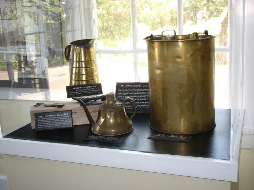
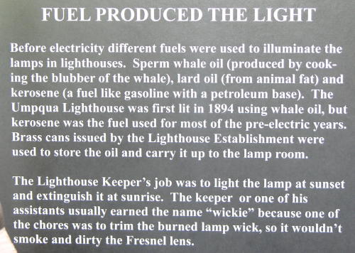
 One
regulation the lighthouse keeper had to follow was to limit the amount of fuel
in the lighthouse. For safety reasons, there could be no more than five gallons
of fuel in the lighthouse.
One
regulation the lighthouse keeper had to follow was to limit the amount of fuel
in the lighthouse. For safety reasons, there could be no more than five gallons
of fuel in the lighthouse.
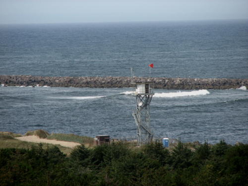 When
the red flag indicating a gale force winds is flying, the Coast Guard stations a
man in this tower beside the Umpqua River. He writes down the number/name of any
boat going out in these conditions. If that boat later requires rescue, the Coast
Guard charges the owner for the rescue.
When
the red flag indicating a gale force winds is flying, the Coast Guard stations a
man in this tower beside the Umpqua River. He writes down the number/name of any
boat going out in these conditions. If that boat later requires rescue, the Coast
Guard charges the owner for the rescue.
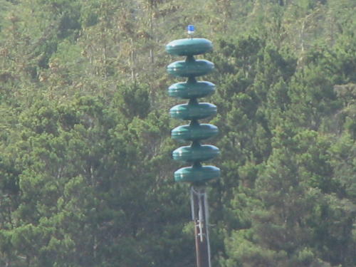
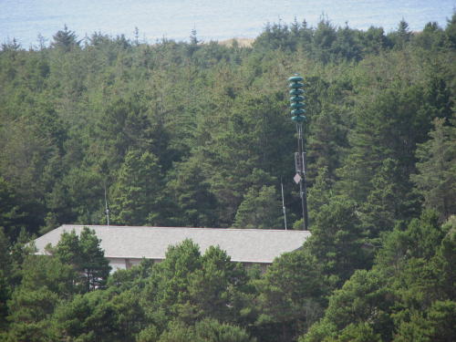
This is a Tsunami warning siren. The tour guide said the sensor is located 4,000 miles out in the ocean.
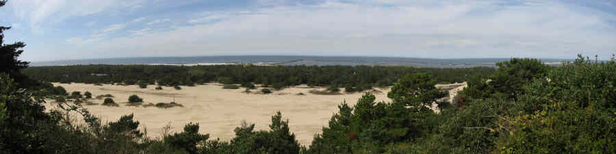
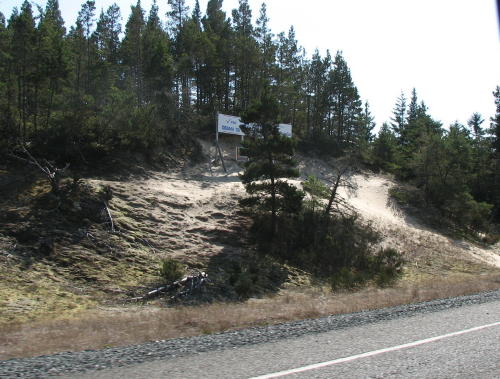
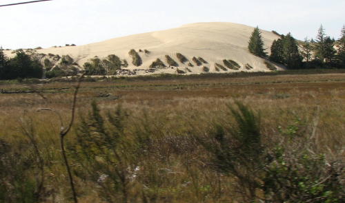
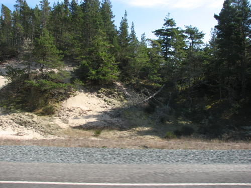
Continuing south, with the HHII in tow, some of the sand dunes were close to the road.
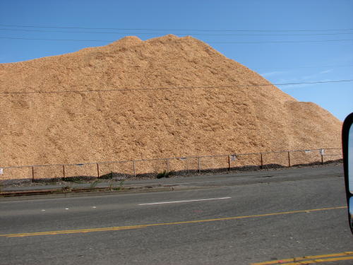
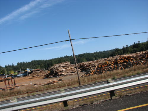
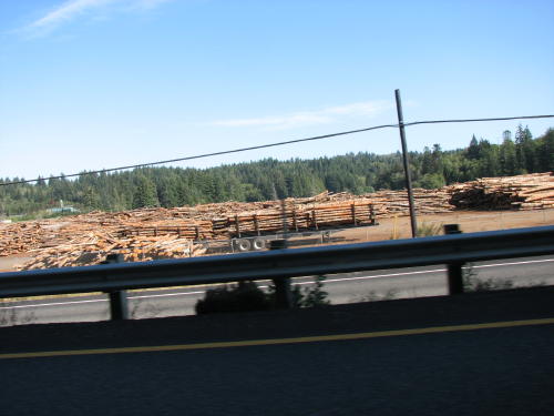
Wood chips and the source of the wood chips - trees. The area made particle board and plywood sheets.


South Jetty - Bandon, OR . . .
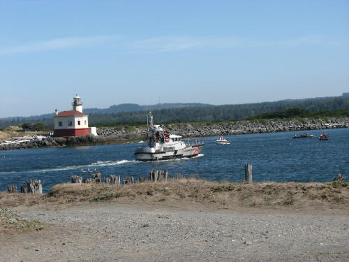
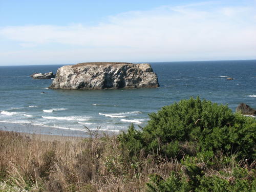
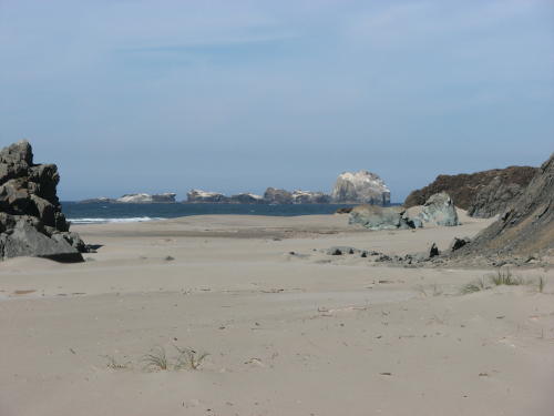
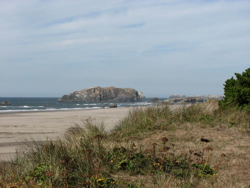
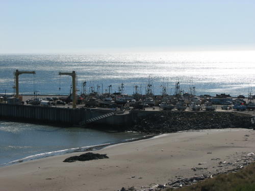
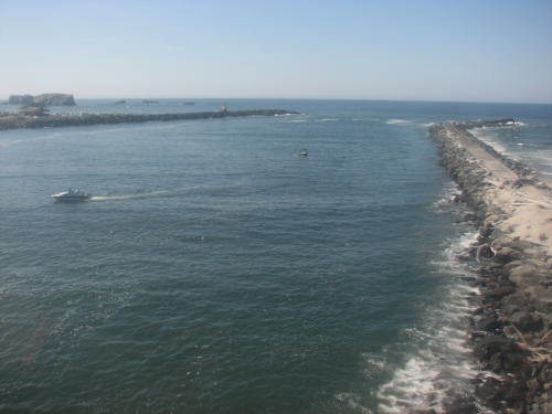
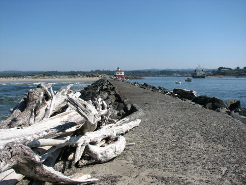
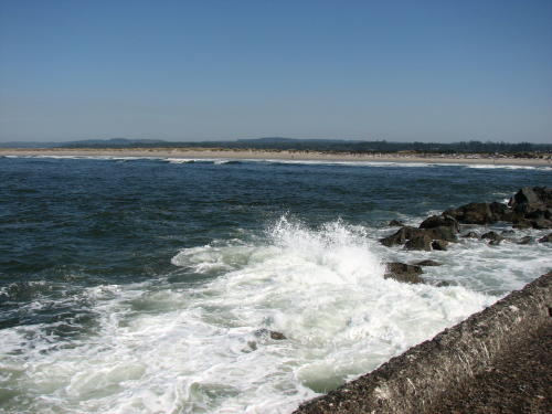
We started our day's ride down the coastline at the South Jetty in Bandon.
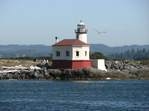
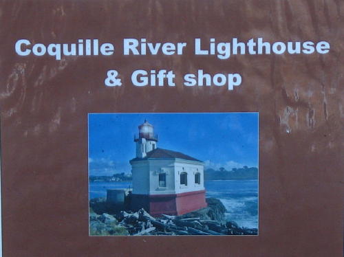
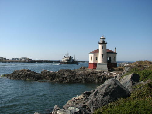
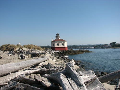
Looking at the Coquille River Lighthouse across the Coquille River.
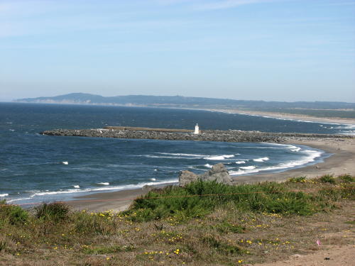
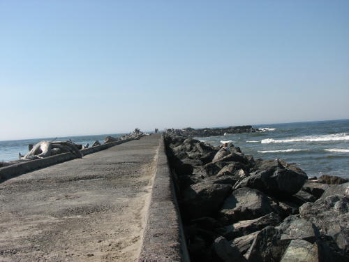
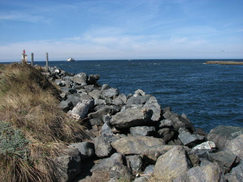 The south jetty . . .
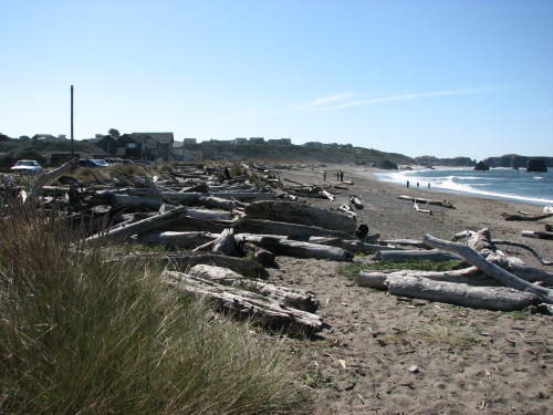
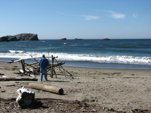
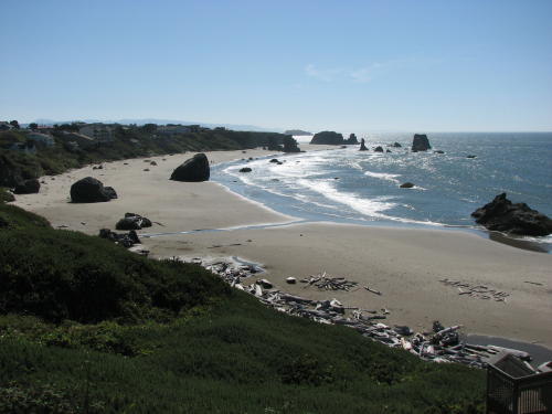
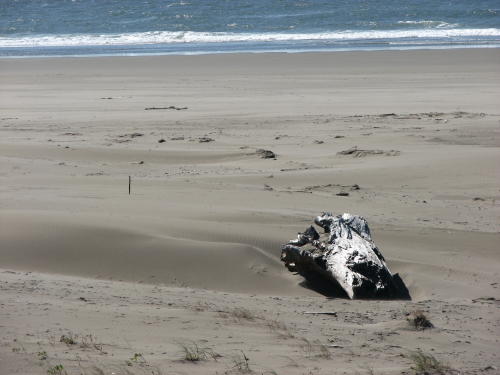
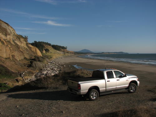
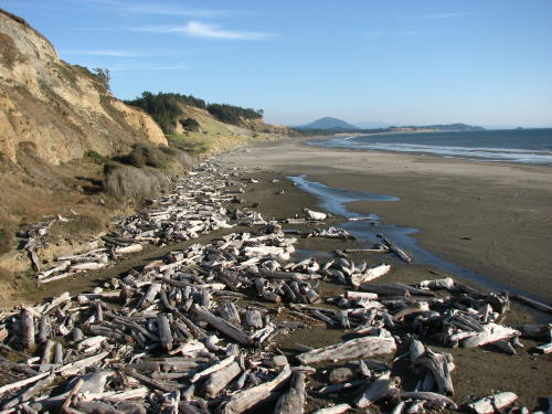
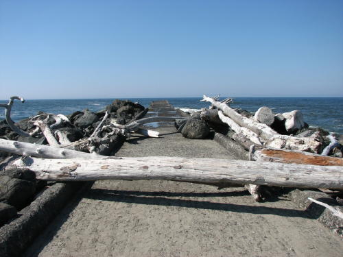
The shore south of the south jetty was littered with a lot of big driftwood.
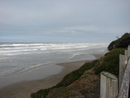
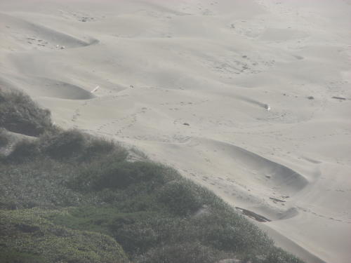
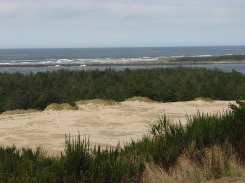
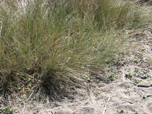 Most
of the beaches have grass brought over from Europe in the early 1900's. It was imported to
stop the sand and it did. It did it so well, the sand beaches continue to move
toward the sea. There are programs to remove this grass, the roots are 25' long
so it is a difficult project.
Most
of the beaches have grass brought over from Europe in the early 1900's. It was imported to
stop the sand and it did. It did it so well, the sand beaches continue to move
toward the sea. There are programs to remove this grass, the roots are 25' long
so it is a difficult project.
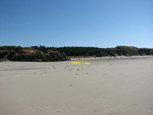
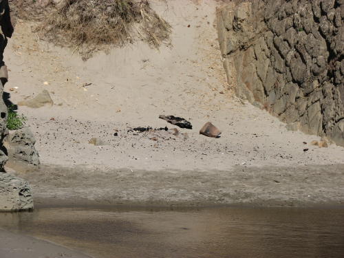
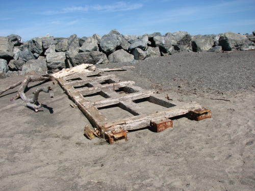 While Mary Lou figured out what she was looking at, Fred photographed a
framework of some kind that washed ashore.
While Mary Lou figured out what she was looking at, Fred photographed a
framework of some kind that washed ashore.
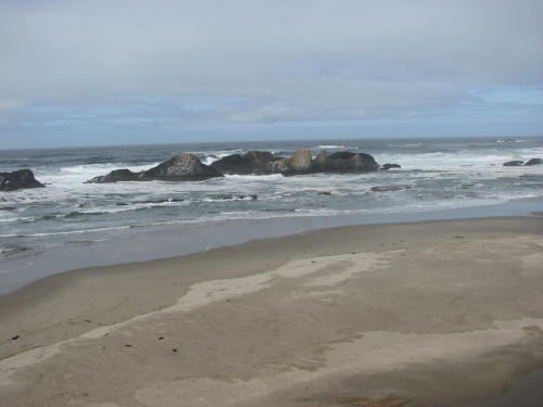
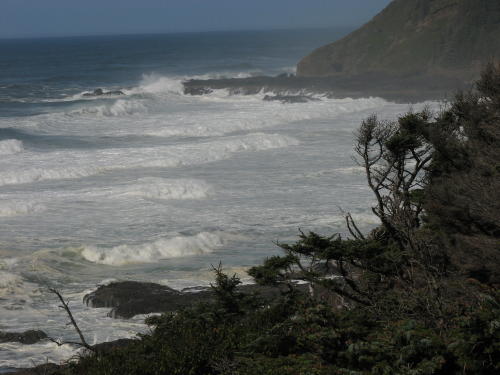
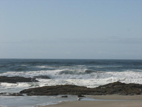
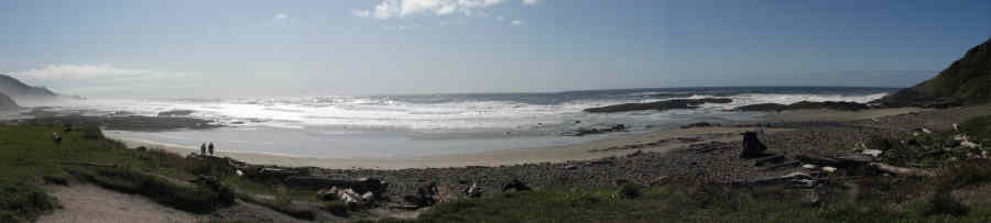
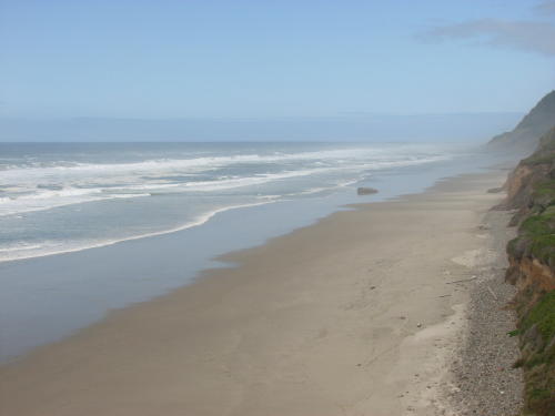
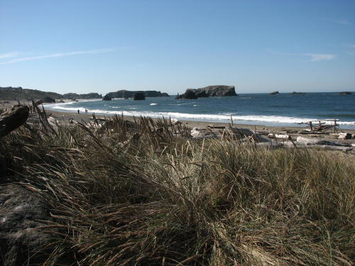
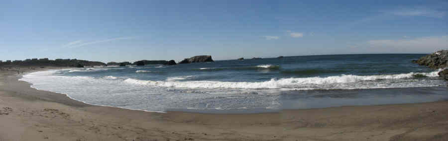
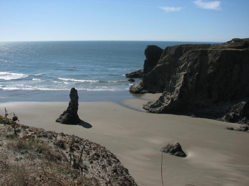
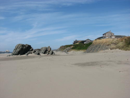
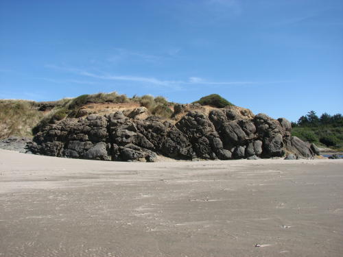
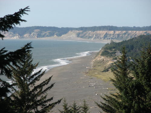
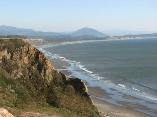
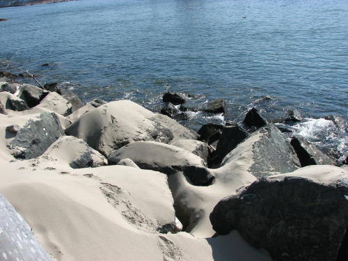
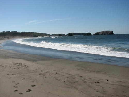 A
little farther walk down beach, it was a beautiful shoreline.
A
little farther walk down beach, it was a beautiful shoreline.

Looking back at the lighthouse . . .

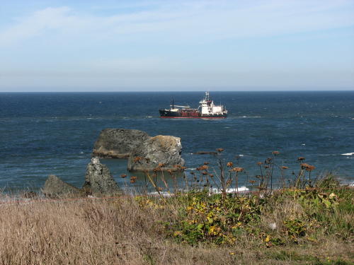
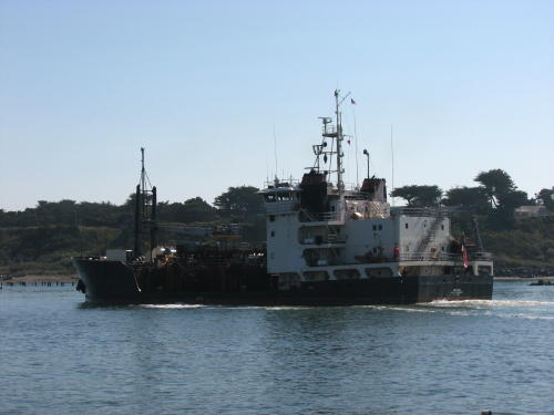
Here is another size comparison - a Coast Guard boat heading for the river, the dredger Yaquina, the Coast Guard boat in the river with the Coquille River Lighthouse and small pleasure boats.
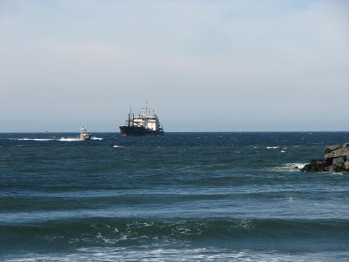
The dredge had been working deepening the river mouth since we arrived yesterday. And, was still working when we left the area. All of the sand vacuumed out of the river mouth is taken out into the ocean to a designated spot and dumped.
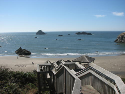
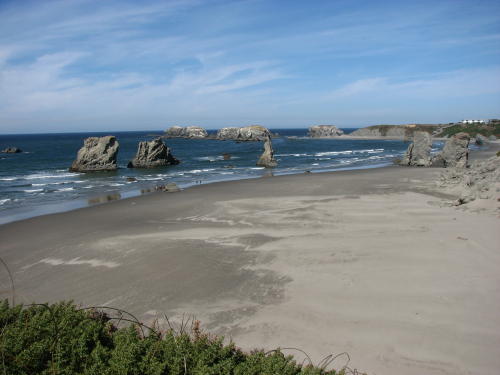
 Next,
we drove the
Beach Loop Drive south of Bandon. It included several state waysides/parks very
close together.
Next,
we drove the
Beach Loop Drive south of Bandon. It included several state waysides/parks very
close together.
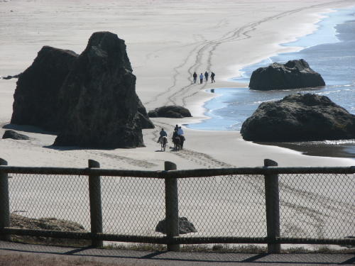
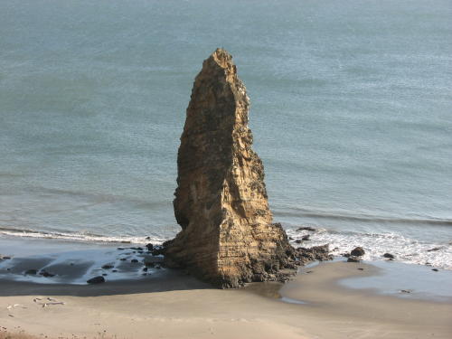
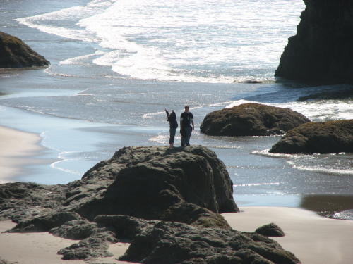 This
gal must be a gymnast.
This
gal must be a gymnast.
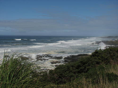
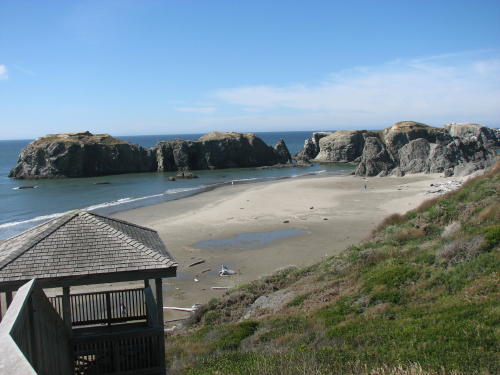
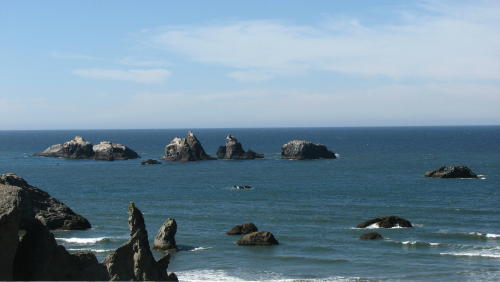
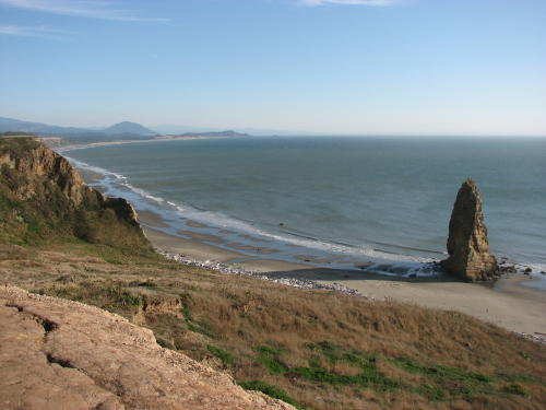
 View, view, view . . .


Mary Lou wandered off to the left
as Fred walked to the waters edge.
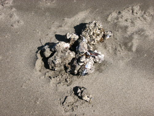 Some
of our beachcombing treasures came out of this pile of clams Fred found.
Some
of our beachcombing treasures came out of this pile of clams Fred found.
Mary Lou had Fred come over to look at the lava rock and campfire locations. She also had some collectables for the plastic bag.


We showed you a motorcoach resort. This is a RV lot ownership park.
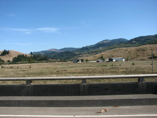
 We have been so focused on the coast, after leaving Brach Loop Road, hills and mountains with trees
seemed unusual.
We have been so focused on the coast, after leaving Brach Loop Road, hills and mountains with trees
seemed unusual.
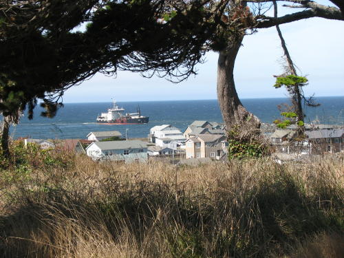
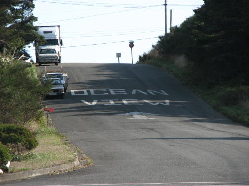 Port
Orford is the western most town in the continental United States. That
was our reason for going there. As we headed south on US 101, the route curved
left in town. Painted on the street in front of us was an invitation to go up
the road in front of us to their ocean view.
Port
Orford is the western most town in the continental United States. That
was our reason for going there. As we headed south on US 101, the route curved
left in town. Painted on the street in front of us was an invitation to go up
the road in front of us to their ocean view.


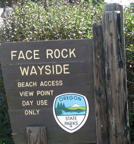
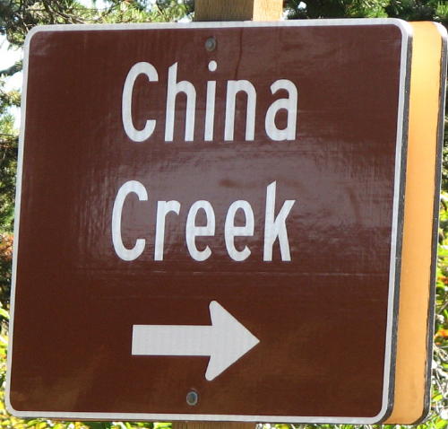
 In the middle of town was a sign pointing to
Port Orford Heads Wayside. It wasn't much
but this quick view on the way there was nice.
In the middle of town was a sign pointing to
Port Orford Heads Wayside. It wasn't much
but this quick view on the way there was nice.
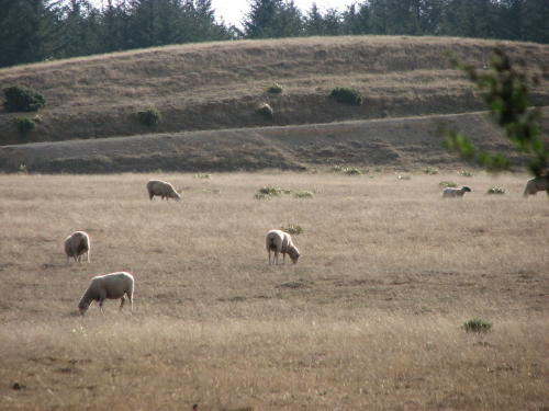
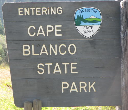
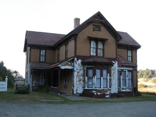
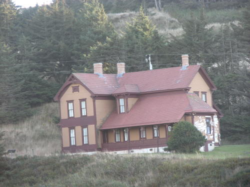
Turning off US 101 toward the Cape Blanco State Park sheep were grazing throughout the area.


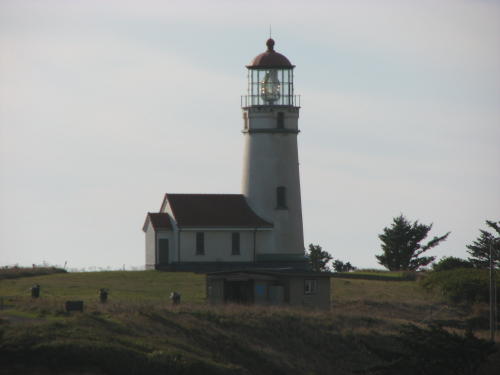
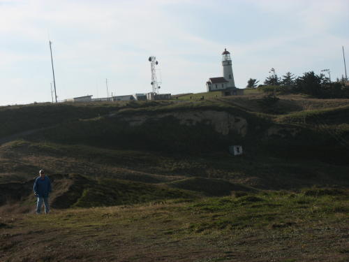 Mary Lou and the lighthouse . . .
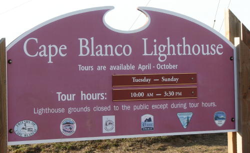
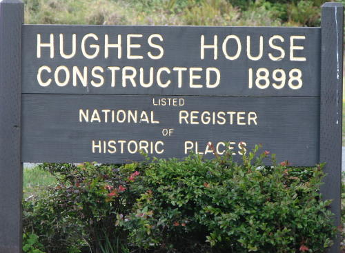
Cape Blanco Lighthouse is in Cape Blanco State Park just north of Port Orford and 5 miles west of Highway 101. The lighthouse is on land that is the most western part of the United States. The lighthouse had closed at 3:00pm.
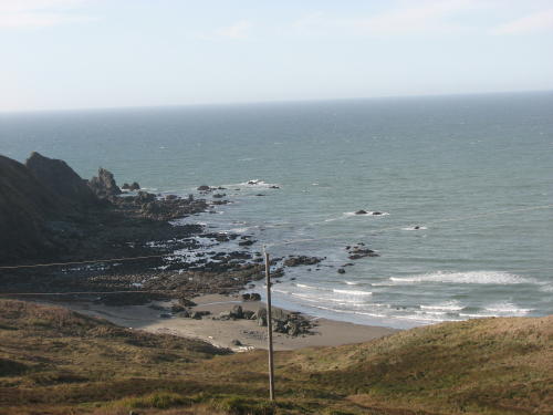
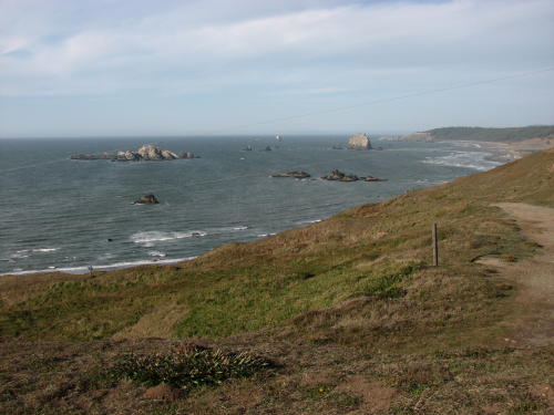
At the beach . . .
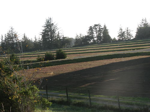
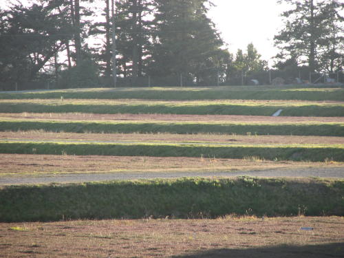
This is another cranberry producing area. These bogs seemed to be in better shape that the previous ones we saw.

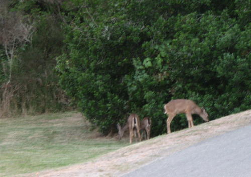
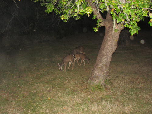
Turning into the state park we stopped to photograph three blacktail deer. We didn't dawdle too much because we wanted to see the sunset.
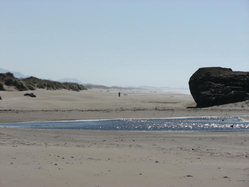
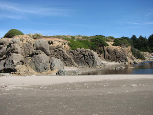
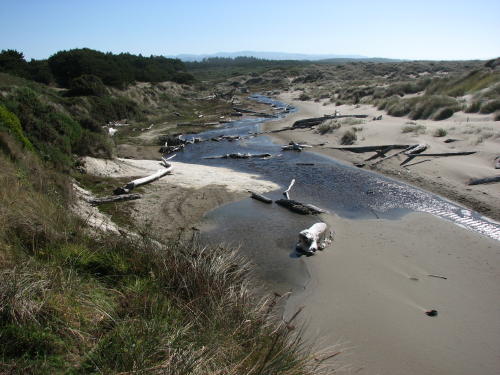
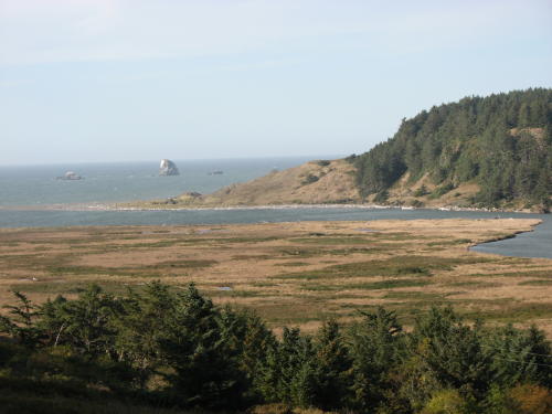
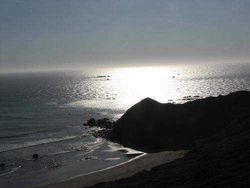
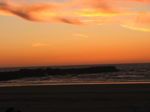
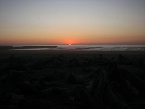
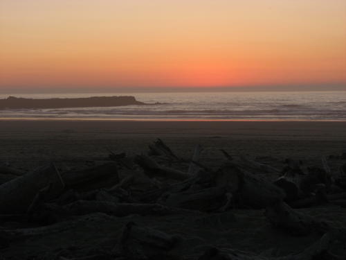
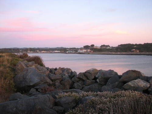 The beach is almost three miles from the campground. We made it just in time
before the sun was lower than the horizon. Still time for a few photographs -
even a quick one up the river.
The beach is almost three miles from the campground. We made it just in time
before the sun was lower than the horizon. Still time for a few photographs -
even a quick one up the river.

On our way back to the HHII, we saw three different blacktail deer. They would have been quite a distance from the state park entrance to be the same three we saw earlier.
Bullards Beach State Park . . .
The next day we stayed close to home - we didn't leave Bullards Beach State Park.
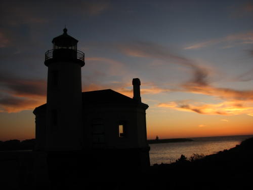
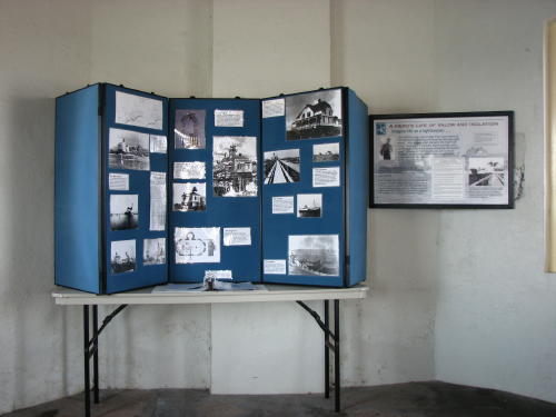
Our first stop was at the Coquille River Lighthouse.


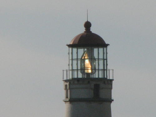
The view from the 'lantern room'. (We just learned what the space where the light is located is called.)

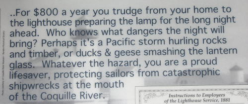
 The
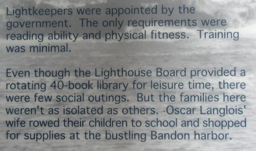
information board was well done.
The
information board was well done.
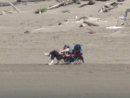
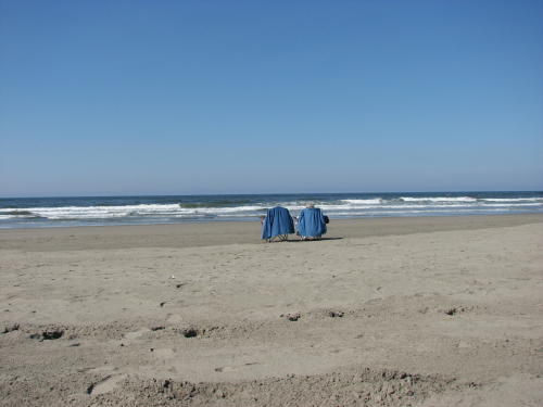 It
was an unbelievable late September day. The temperature was about 70 and a
very low wind speed. We carry the chairs in the truck just this type of
opportunity.
It
was an unbelievable late September day. The temperature was about 70 and a
very low wind speed. We carry the chairs in the truck just this type of
opportunity.

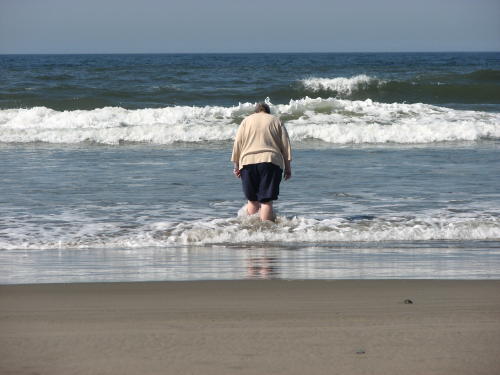
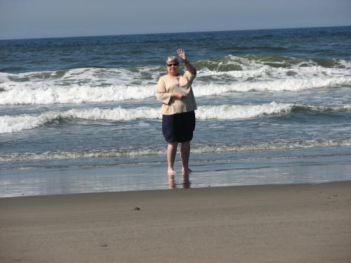
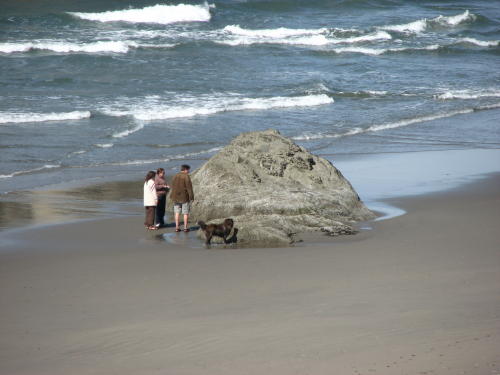
Some people couldn't stay out of the water.
The water was not as cold as in Fort Stevens. However, it was cold enough - like getting into Higgins Lake. However, instead of getting warmer the longer you are in it, the water gets colder.
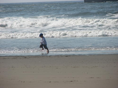
We were not the only ones enjoying the nice weather. This young boy had fun walking toward the water an running away from it as it chased him.
Fred decided to walk over to the river to get a better look at the dredge.

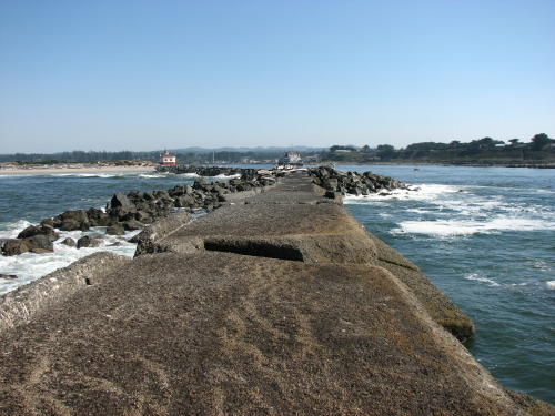
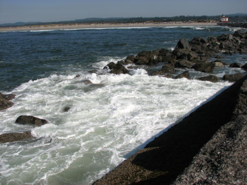
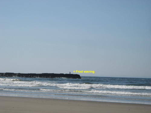
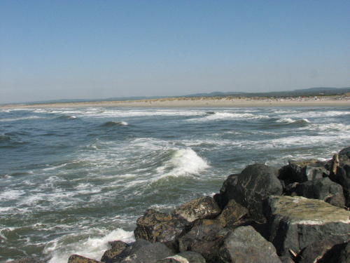
 While
there, he decide to walk out on the north jetty. It required climbing over a
couple natural obstructions - big driftwood.
While
there, he decide to walk out on the north jetty. It required climbing over a
couple natural obstructions - big driftwood.
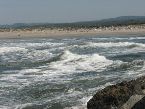
The north jetty was dry until close to the end where some waves had splashed.


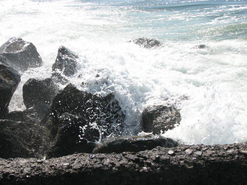
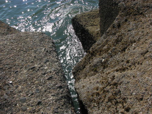
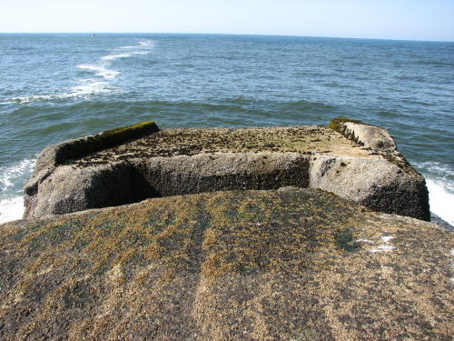
The end of the north jetty has a couple large cracks. The part at the very end may be tipping into the Pacific.


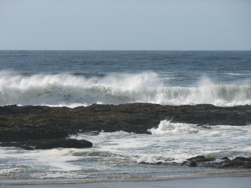
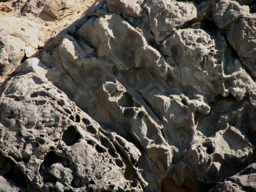
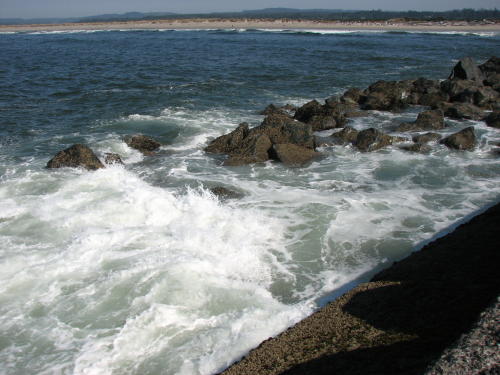
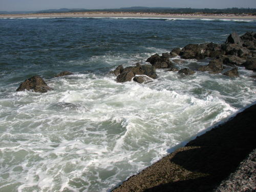
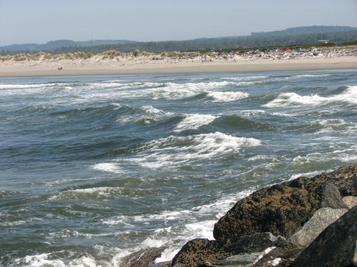
Wave action on rocks . . .
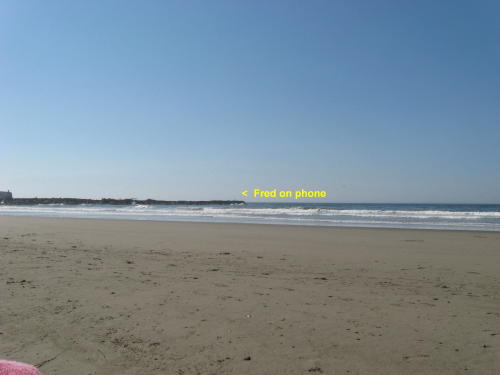
Fred used his cell phone to call Mary Lou to tell her where he was.
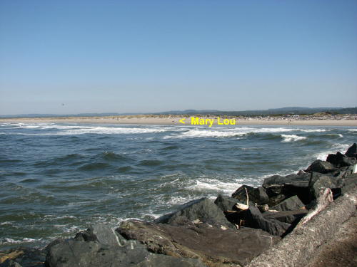
She made photographs of Fred.
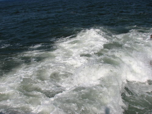
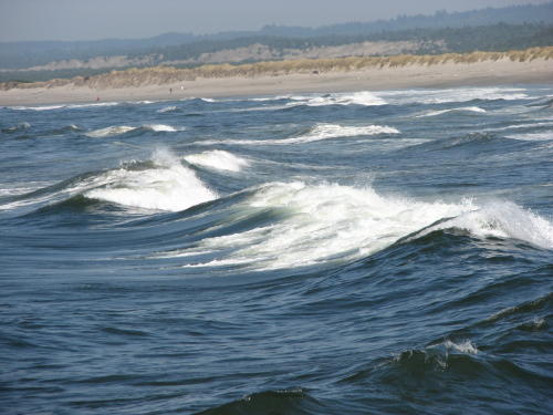
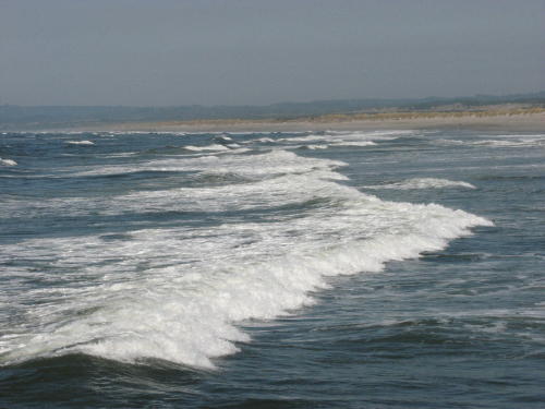
Behind the waves - most of the time waves we see are coming at us.

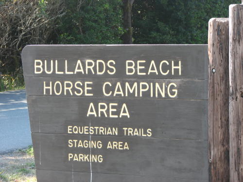
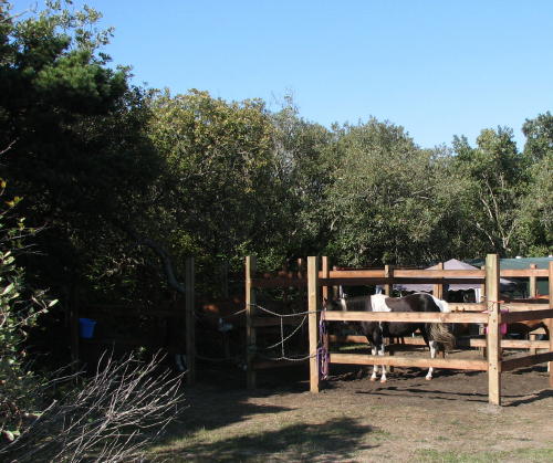 On
the way back to camp, we checked out the horse camp.
On
the way back to camp, we checked out the horse camp.
Campers are provided a corral for their horses.
Only a hitching rail is provided for day use visitors.
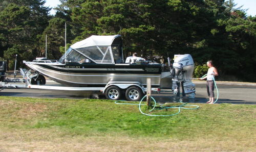 Close
to the boat launch, water spigot and hose is available to rinse the salt
water off your boat and trailer.
Close
to the boat launch, water spigot and hose is available to rinse the salt
water off your boat and trailer.
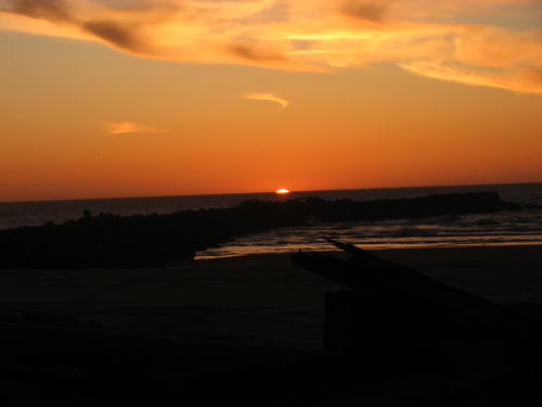
The green drawbridge over the Coquille River changed colors with approaching sunset.
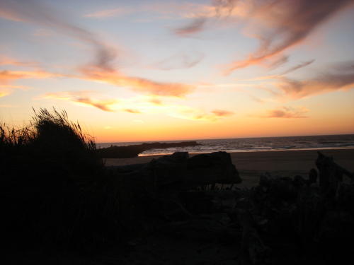
This is the last sunset we will see over the Pacific Ocean from the Oregon Coast . We leave the area in the morning.


We hope you enjoyed hearing about our tour of the Oregon coast. It is a beautiful area that is worth several days of your travel time.
Other Oregon coast pages:
On the road along the Oregon coast (Page 1 of 4) - 2008
On the road along the Oregon coast (Page 2 of 4) - 2008
On the road along the Oregon coast (Page 3 of 4) - 2008
GO BACK TO > > > Pacific Northwest - 2008