 Because we spent fifteen days along the Oregon
coast,
Because we spent fifteen days along the Oregon
coast,we have split our travels along the coast into four pages.
On the road along the Oregon coast - 2008 . . .
during our travels in the Pacific Northwest
Page 2 of 4
Updated: 11/30/08
Because we spent fifteen days along the Oregon
coast,
we have split our travels along the coast into four pages.
Use the links below to move around Page 2.
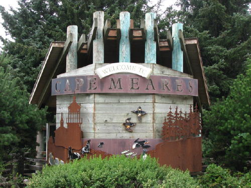
Oceanside . . . Cape Meares State Park
Netarts Bay . . . Sand Lake . . . Tierra Del Mar . . . Cape Kiwanda . . . Pacific City . . .
Tillamook . . . The Dungeness crab catch . . .
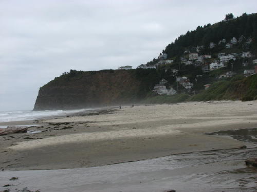
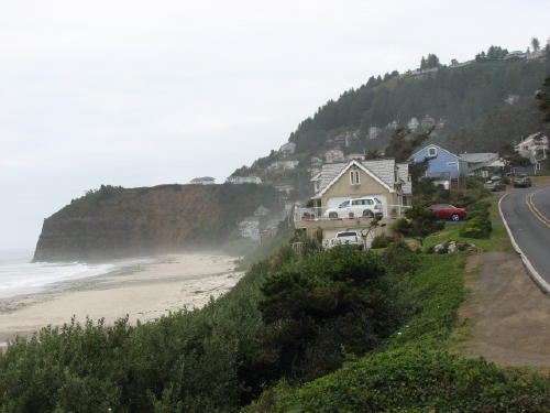
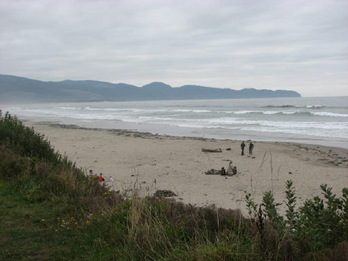
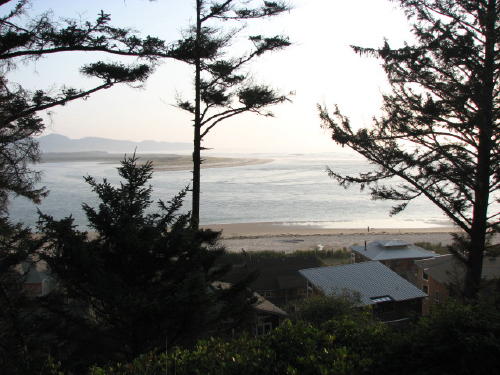
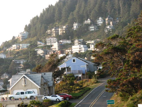
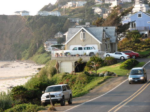
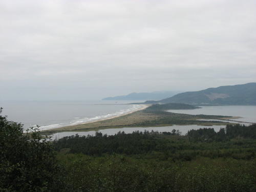
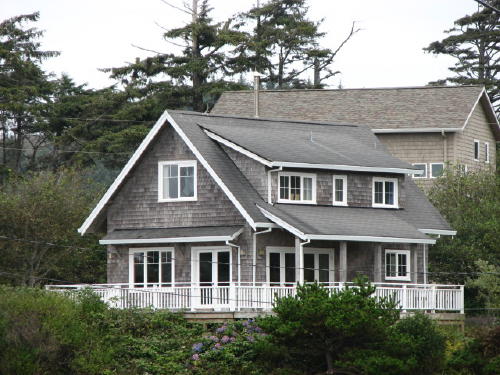
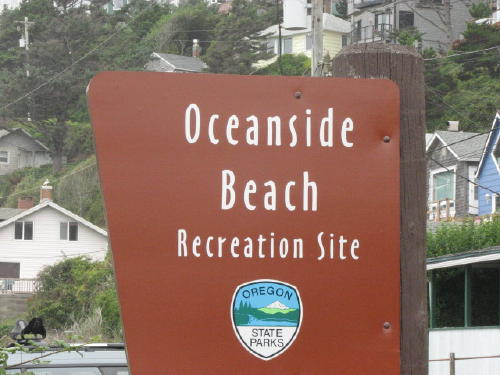 Oceanside
was only four miles from our campground. The closeness made it a place we
visited several times. The recreation site was at the edge of the downtown area.
Oceanside
was only four miles from our campground. The closeness made it a place we
visited several times. The recreation site was at the edge of the downtown area.
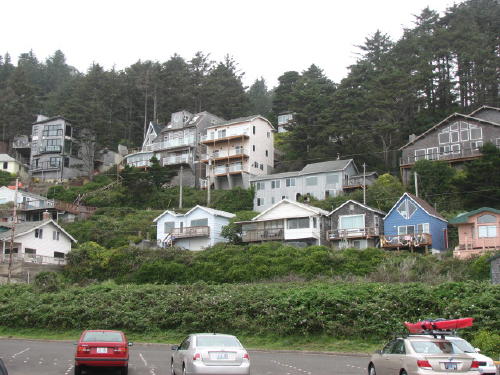
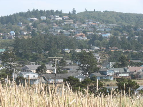
The site was overlooked by a hillside full of houses.
To the right . .
.
Behind the site . . .
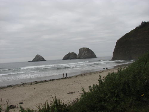
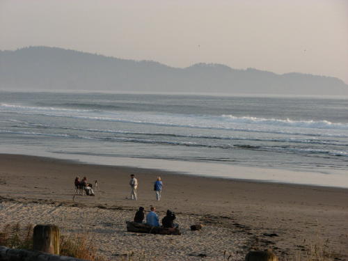
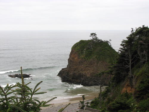
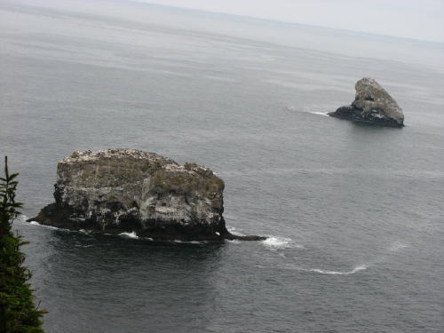
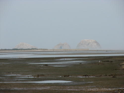
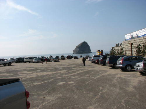
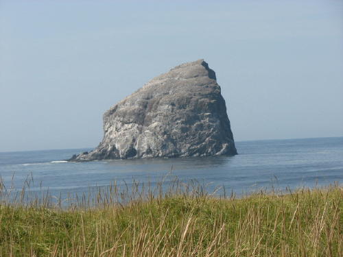
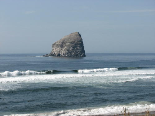
The attraction in the area was the Three Arch Rocks. While we were in the area we had views of them from many angles. We will share some of those views with you.
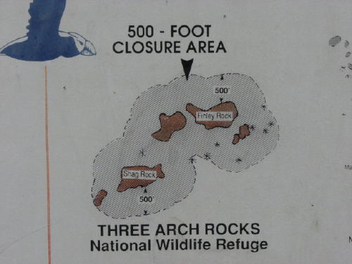 The
500' closure is to avoid the nesting seabirds fleeing and abandoning their nests
and so the sea lions do not stampede, trampling and killing their pups.
The
500' closure is to avoid the nesting seabirds fleeing and abandoning their nests
and so the sea lions do not stampede, trampling and killing their pups.
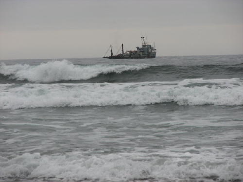
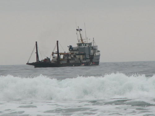
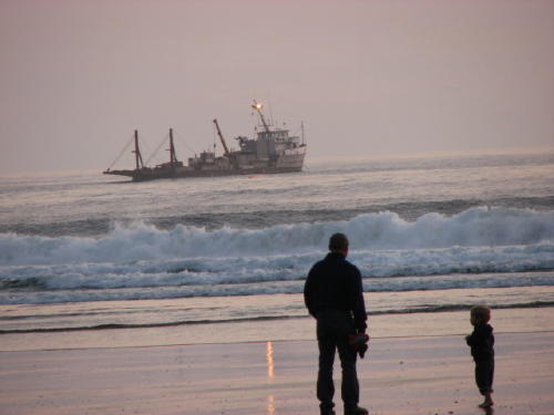
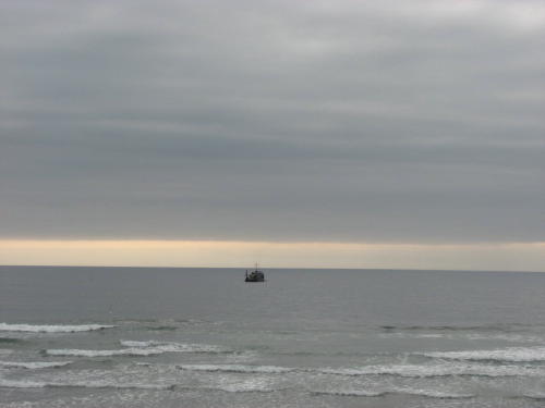
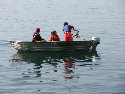
This boat was anchored at this location the entire three days we were in the area.
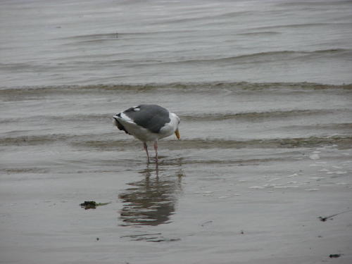
The seagulls are always searching for something.
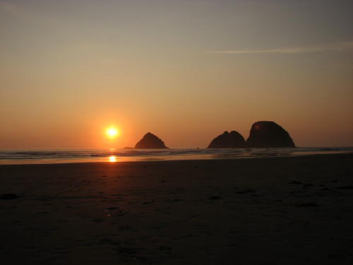
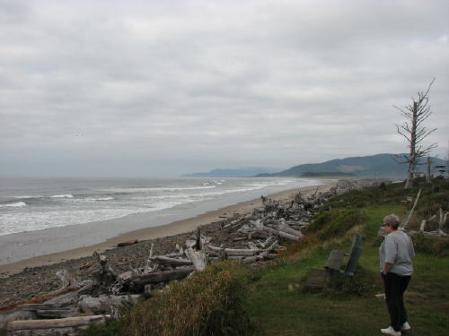
We decided to go back one evening to watch the sun set.
Other people had the same idea.
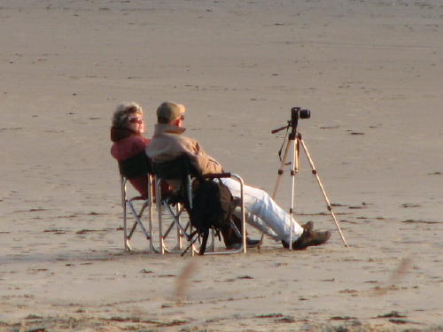
The sun set was worth the wait and the cold. We were not prepared for the wind off the ocean. Our denim shirts were all we had for warmth.

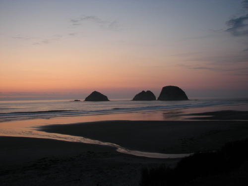
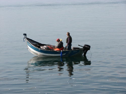
 The boat was still there - anchor light glowing and reflecting in the wet
sand.
The boat was still there - anchor light glowing and reflecting in the wet
sand.
The next day we headed for the Cape Meares area.
 Oregon is known to have a 'big rock' shoreline.
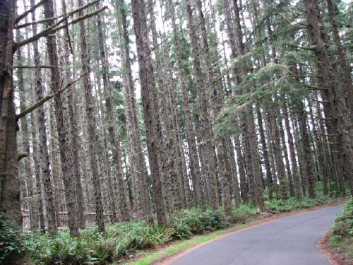 Some of the ride was through a pine forest.
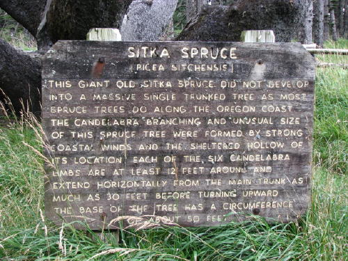
The Octopus Tree was very unusual.

 Another look at the big rock we saw on the way to the state park . . .
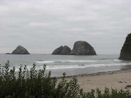
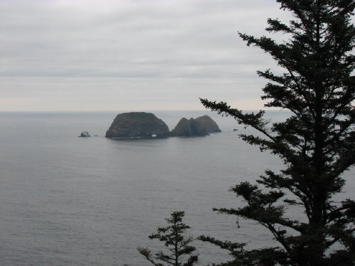 Another look at the Three Arch Rocks . . .
This was a very attractive sign.
It is on the wall of a covered collection of information panels.
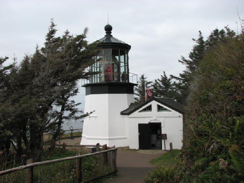
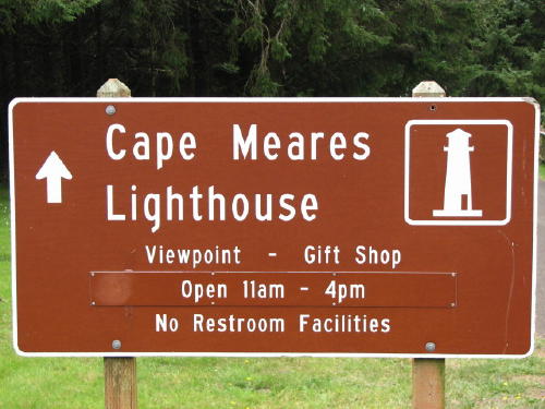 The
walk to the Cape Meares Light House was all downhill. But, we know what that
means - the return is all up hill.
The
walk to the Cape Meares Light House was all downhill. But, we know what that
means - the return is all up hill.
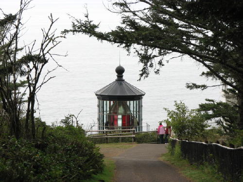
The views at the rest stops on the walkway to the lighthouse were great.

 At
the end of the walkway we could see the top of the lighthouse.
At
the end of the walkway we could see the top of the lighthouse.
Due to its location, the lighthouse did not have to be very tall.
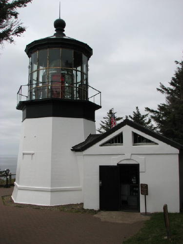
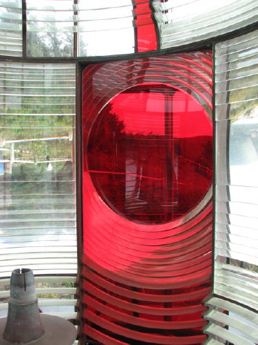
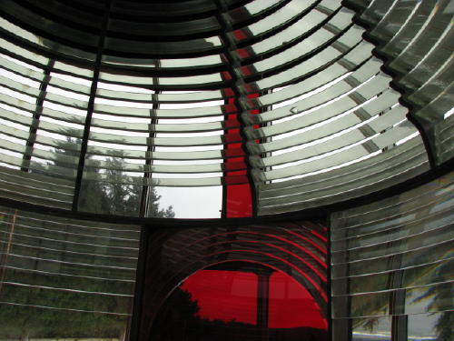
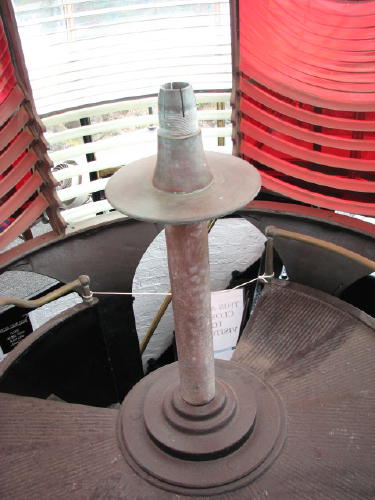
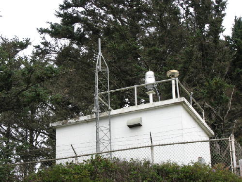
The new 'lighthouse' just isn't picturesque.
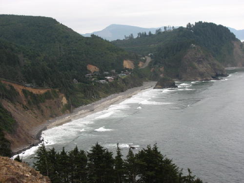
 At a pullout high in the hills, what a view . . .
 Not too bad lower at almost sea level either - just different . . .
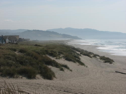
A drive on the Bay Ocean Spit was enjoyable.
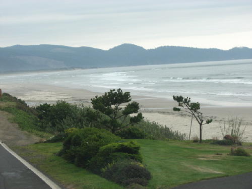
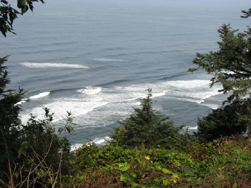
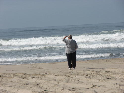
Stopping along the road near Seaside at the end of the day, we could finally see the horizon.
 The next day we started our day just around the corner from our campgound.
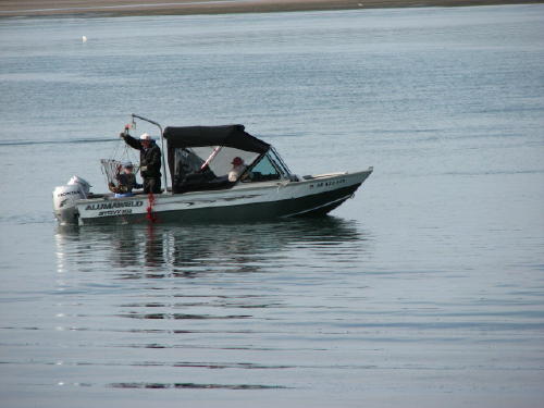
It was apparently time to check the crab traps.
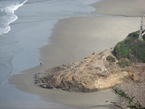
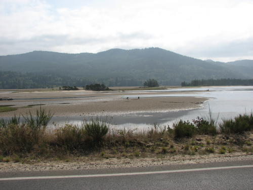
 It was low tide so this end of the bay doesn't look very appealing.
But, in the background we could see Three Arch Rocks.
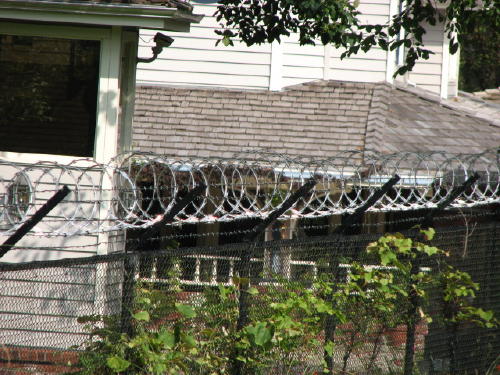
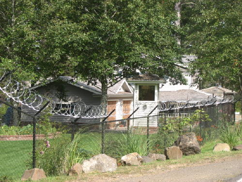
A little farther down the road we came upon an strange sight - a house surrounded by a six foot fence topped with razor wire. The fence and razor wire went all the way to the waters edge.
 When
we returned to camp we asked the campground owner about this house.
When
we returned to camp we asked the campground owner about this house.
He told us that the guy who lives there owns a lot of the county and half of a Las Vegas casino. He has another place in the mountains more fortified than this house on the bay.
He said everybody thinks the guy is a little crazy.
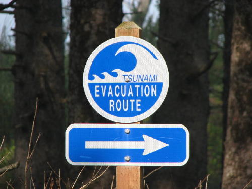
Another warm and fuzzy sign.
 We
drove through Cape Lookout State Park but did not pay the daily user fee.
Farther down the road, at Andersons View Point, we looked back at the shore in
the state park.
We
drove through Cape Lookout State Park but did not pay the daily user fee.
Farther down the road, at Andersons View Point, we looked back at the shore in
the state park.
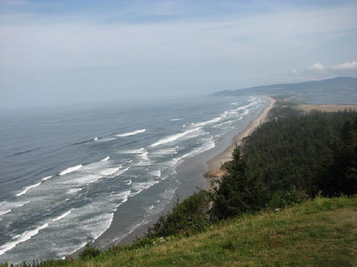
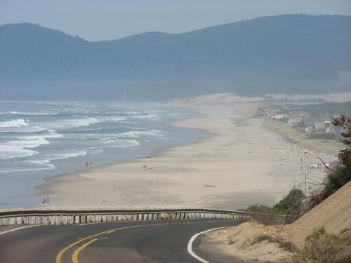
People can be seen on the beach in the state park.
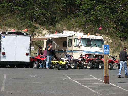
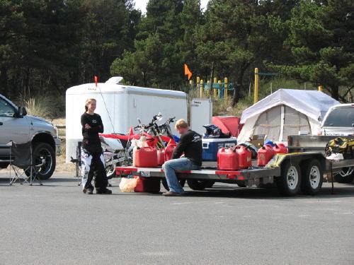
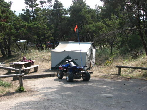
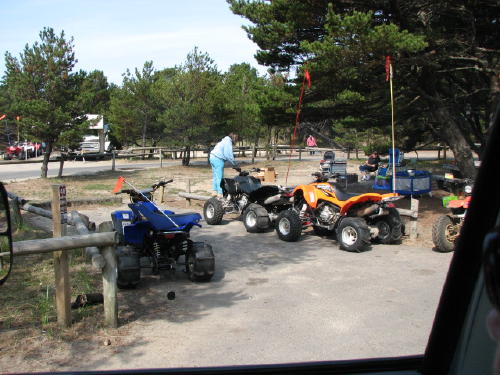
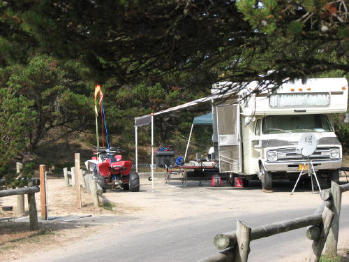
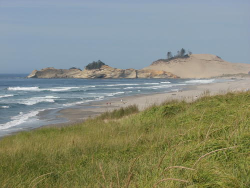
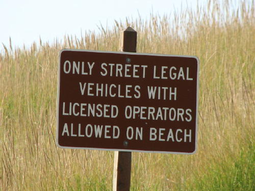
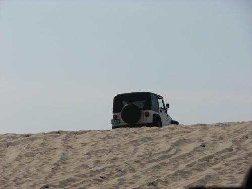
On the road again, all of a sudden on our right was a large sand dune with four wheelers running all over. We found out later it was Sand Lake.
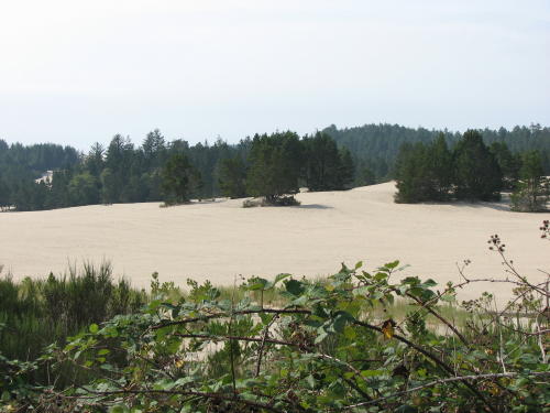
We saw a sign pointing to Dunes and Dune Buggies State Park - sounds like a place for people with toys. It sounds like a place we would enjoy.
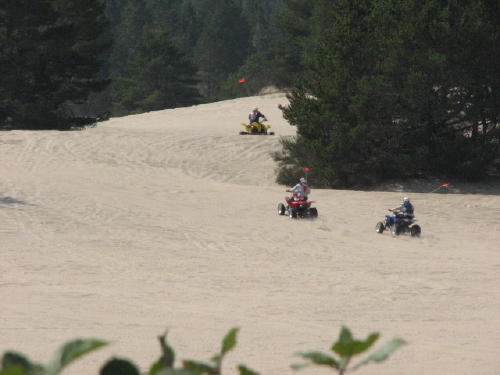
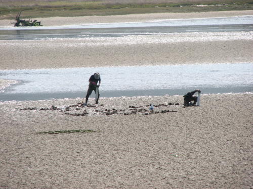
Before arriving at the state park we observed these people - we think, digging for clams.
At the state park, we found the people and their toys. It is great that Oregon provides this opportunity for regulated play.
Looking back at the Tierra Del Mar shore . . .
 This
was a busy place.
This
was a busy place.
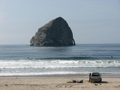 Haystack
Rock . . .
Haystack
Rock . . .
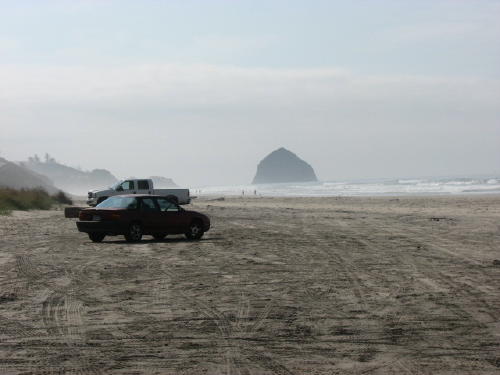
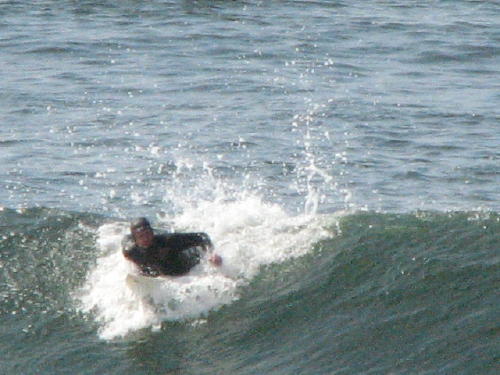
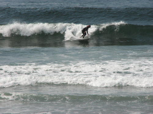
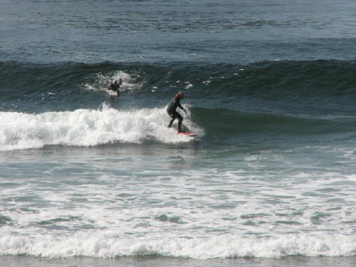
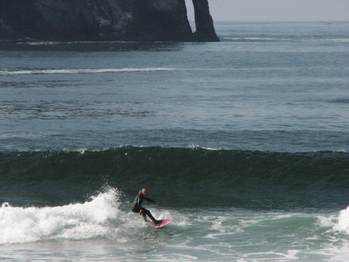
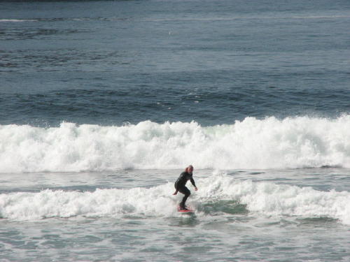
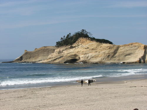
The surfers were out in numbers waiting for just the right wave.
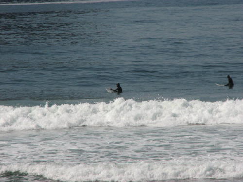
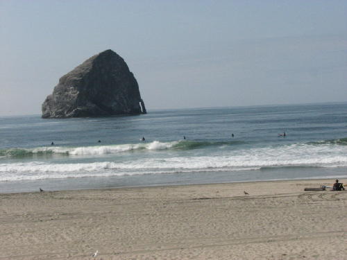
Then, they would paddle to get in the correct position for a brief thrill.
Looking back at Cape Kiwanda from the beach outside Pacific City. Some of the communities along the coast are so close together it is easy to blink and be in a different one.
 Every
hillside overlooking the ocean is loaded with houses.
Every
hillside overlooking the ocean is loaded with houses.
Pacific City was another popular place to drive on the beach.
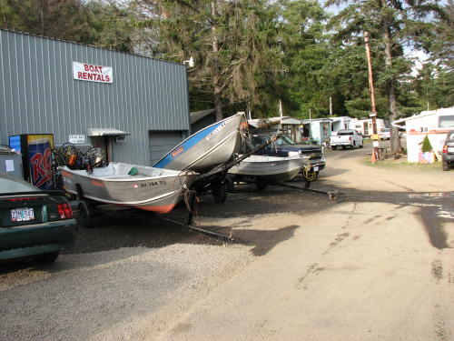
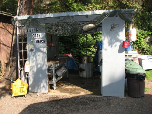
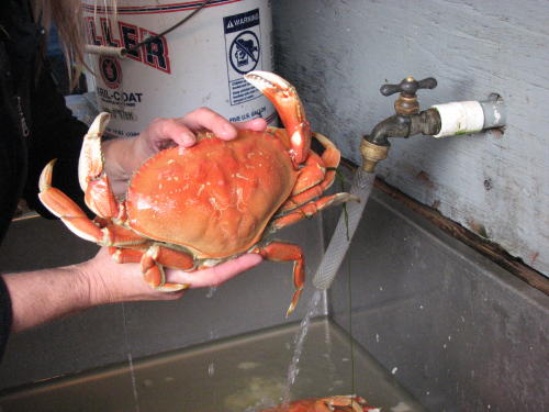
The Dungeness crab catch . . .
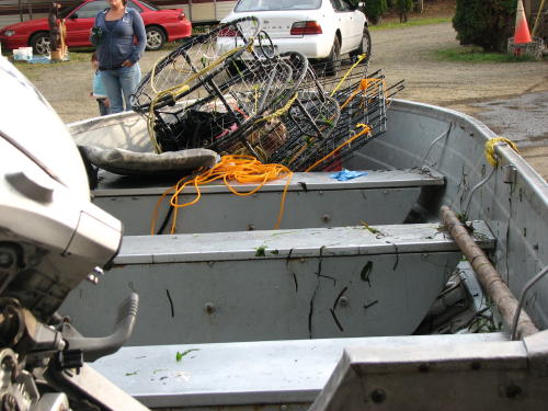
 At
the end of the day, when we returned to the campground, people were returning
after retrieving their crab traps.
At
the end of the day, when we returned to the campground, people were returning
after retrieving their crab traps.
In addition to renting campsites, the owners also rented boats, crab traps and provided a place for their customers to clean their crabs.
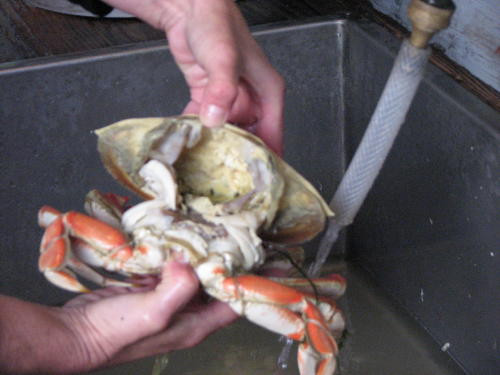
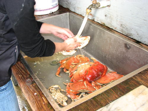
An interesting side comment . . . One of their customers
reported that he saw bubbles
coming up from where his traps were located.
Apparently, scuba divers have been known to remove crabs for traps.
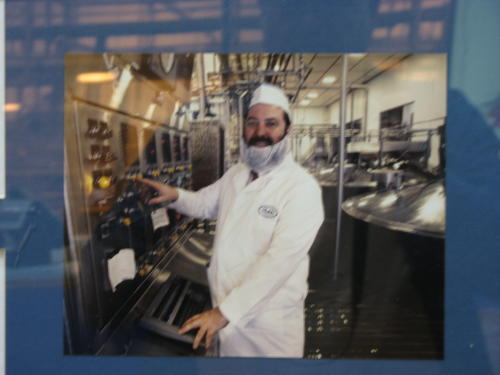
The next day we drove to Tillamook to visit the Air Museum and the County Creamery Association's Visitor Center.

 The
Tillamook County Creamery Association (TCCA) was founded in 1909 as a quality
control organization for the ten cheese factories operating in Tillamook county.
Today, the cooperative has 145 area dairy families in membership. The visitors
center was open in 1979 as a marketing tool to promote their products.
The
Tillamook County Creamery Association (TCCA) was founded in 1909 as a quality
control organization for the ten cheese factories operating in Tillamook county.
Today, the cooperative has 145 area dairy families in membership. The visitors
center was open in 1979 as a marketing tool to promote their products.

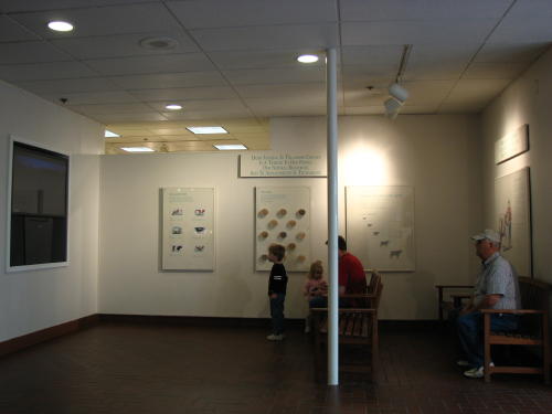 A video
presented information about the association from its origin to today.
A video
presented information about the association from its origin to today.
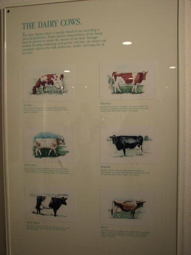
Information on dairy cows was provided.
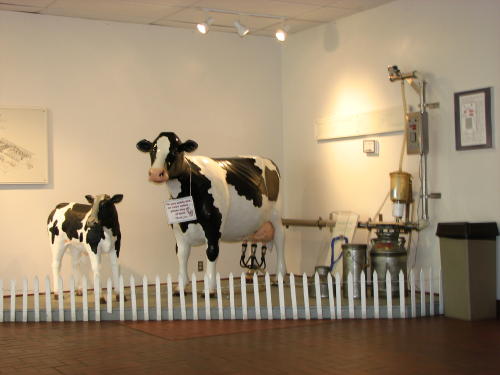
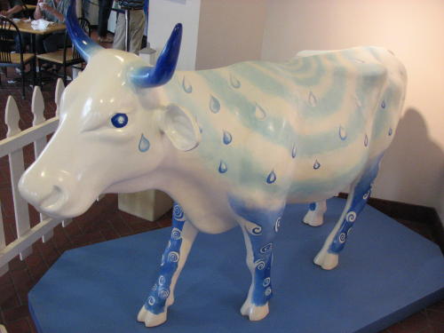
We don't think the blue cow exhibit was a accurate.
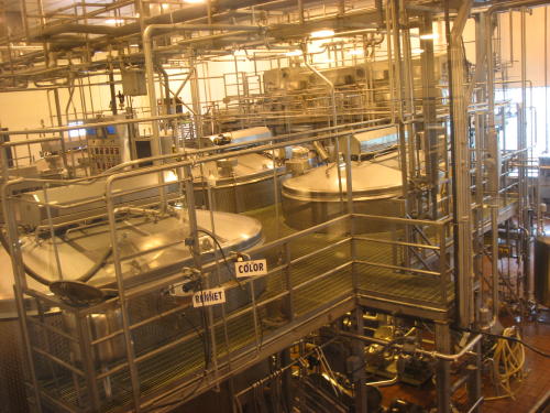
We visited on Saturday so only part of the operations were working. Overhead televisions played videos explaining what was going on in the equipment we could see through the windows.
The milk is maintained at 88 degrees and stirred in vats while ingredients are added. When the cheese curds are just right, they are removed - the residue is used for other dairy products.
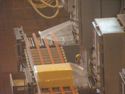
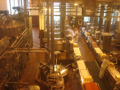
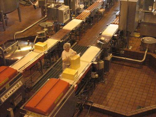
Here the cheese curds are compressed into 40 pound blocks, wrapped, sealed and moved into the aging chambers.
Each block of cheese is aged 60 days for mild cheddar, nine months for sharp cheddar and 15 months for extra sharp cheddar. The chambers with the red tops (in the last photograph) are where the air was removed and the bags sealed. The blocks are then put in cardboard boxes for aging.
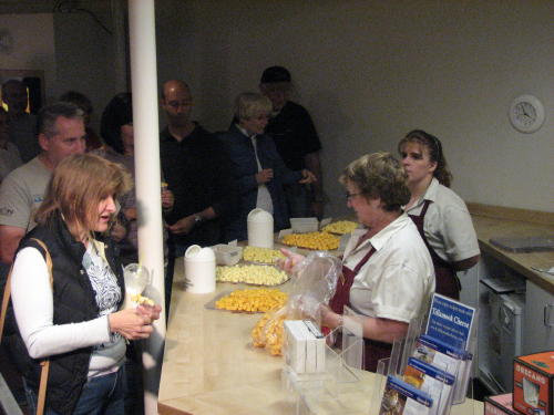 With
about one million visitors a year, the cheese tasting counter is an effective
tool to promote product sales.
With
about one million visitors a year, the cheese tasting counter is an effective
tool to promote product sales.
The story about their kosher cheese was interesting.


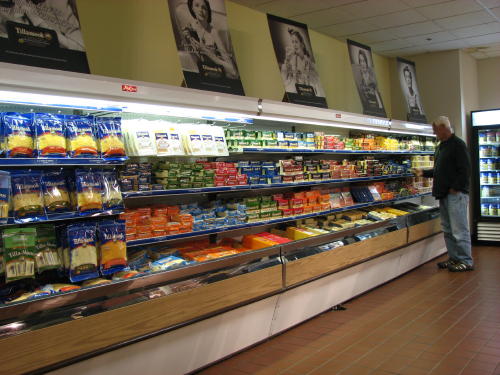 The TCCA Visitor Center is a very interesting complex. In addition to cheese,
butter and ice cream, they sell some meat products, jellies and jams, fudge.
There is also a gift shop that sells souvenirs, home decor items, Christmas items and just
about any other knick-knack you could think of.
The TCCA Visitor Center is a very interesting complex. In addition to cheese,
butter and ice cream, they sell some meat products, jellies and jams, fudge.
There is also a gift shop that sells souvenirs, home decor items, Christmas items and just
about any other knick-knack you could think of.
Sales seemed to be good for the packaged dairy products. By far the longest line was for dipped ice cream. They processed the people through very efficiently. The servings were large and the cost reasonable. And . . . it tasted GOOD.
There was no admission fee for the visitor center. Plan on spending an hour and a half - including time to eat your ice cream.
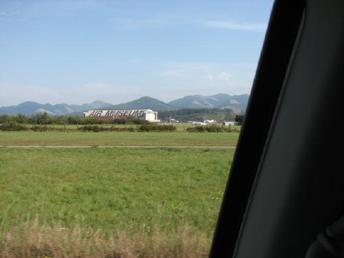
We drive by the Air Museum as we drove out of Tillamook.
A separate page for the Tillamook Air Museum - 2008 has been posted.
Go to Next page: On the road along the Oregon coast (Page 3 of 4) - 2008
Other Oregon coast pages:
On the road along the Oregon coast (Page 1 of 4) - 2008
On the road along the Oregon coast (Page 4 of 4) - 2008
GO BACK TO > > > Pacific Northwest - 2008