On the road along the Oregon coast - 2008 . . .
during our travels in the Pacific Northwest
Page 1 of 4
Updated:
01/05/09
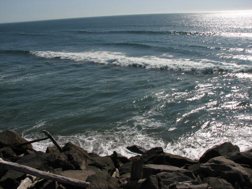
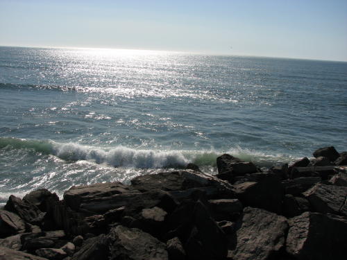
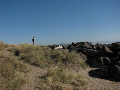
 The Oregon coast was beautiful and many attractions were nearby.
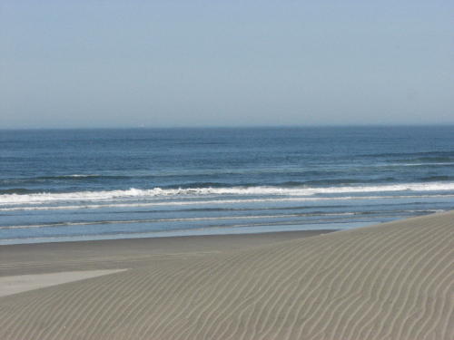
In the north sandy beaches and huge rocks share the shore, farther south the
sand dunes are predominate but the water is always rough. The State of Oregon
provides many pull-offs, view points, waysides and state parks where the public
can enjoy the views. Most of them are free of charge. We enjoyed the Oregon
coast for fifteen days.
The Oregon coast was beautiful and many attractions were nearby.
In the north sandy beaches and huge rocks share the shore, farther south the
sand dunes are predominate but the water is always rough. The State of Oregon
provides many pull-offs, view points, waysides and state parks where the public
can enjoy the views. Most of them are free of charge. We enjoyed the Oregon
coast for fifteen days.
Because we spent fifteen days along the Oregon coast,.
we have split our travels along the coast into four pages.
Use the links below to move around
Page 1.
Astoria Fort Stevens State Park
Astoria Column Riverfront Trolley
Cannon Beach Nehalem Bay State Park
Astoria
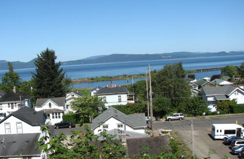
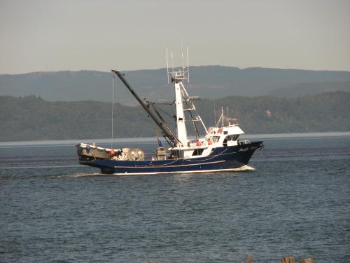
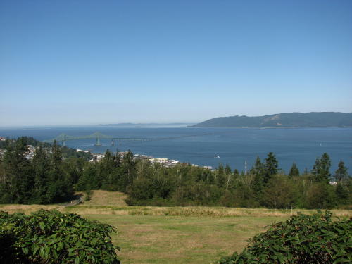
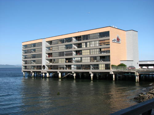
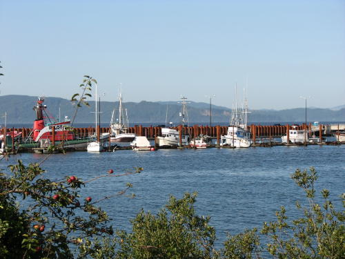
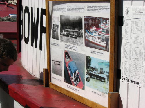
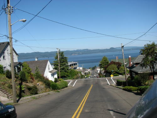
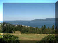
Arriving in Astoria, OR gave us another close look at the Columbia River.
 Later we would learn about the 'pilot'
boats at the Columbia River Maritime Museum - one of the attractions we visited
in Astoria.
Later we would learn about the 'pilot'
boats at the Columbia River Maritime Museum - one of the attractions we visited
in Astoria.
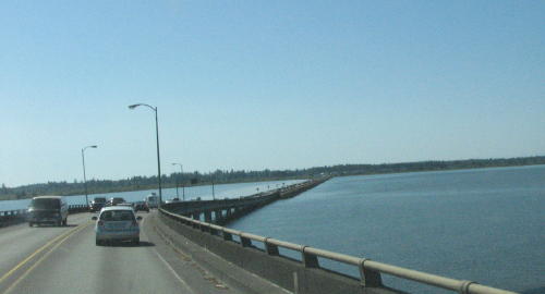
 We drove through
Astoria and over the bridge to Warrenton and to the Fort Stevens
State Park. Oregon has a good state park system. We plan to use it frequently
because they are on prime land along the coast. In 1998, Oregon voted to
use Lottery profits to support state parks.
We drove through
Astoria and over the bridge to Warrenton and to the Fort Stevens
State Park. Oregon has a good state park system. We plan to use it frequently
because they are on prime land along the coast. In 1998, Oregon voted to
use Lottery profits to support state parks.
Top of Page
Fort Stevens
State Park
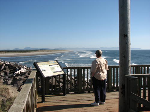
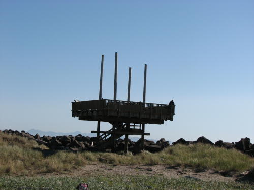
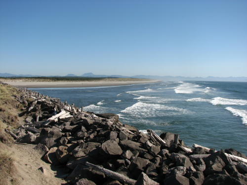
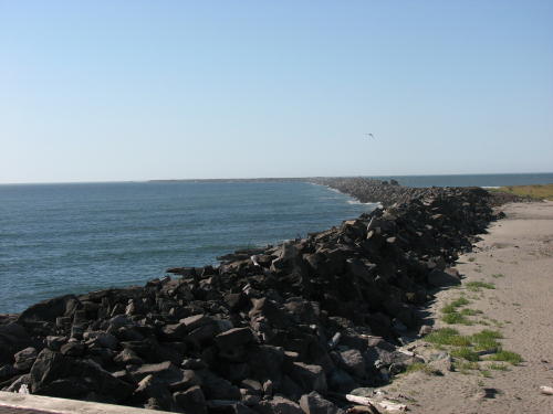
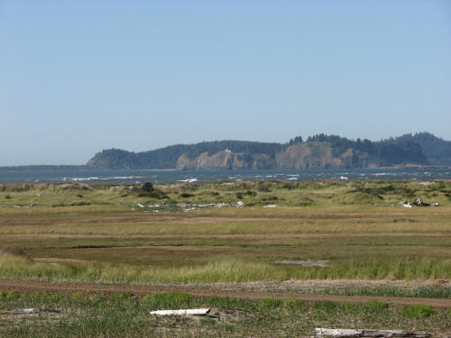
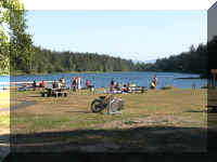
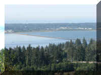
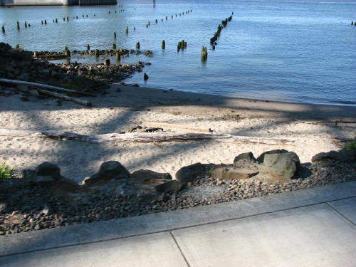
We set-up the HHII and toured the park. Our first stop was at the South Jetty
Viewing Platform.
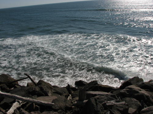
This platform provided a nice place for photographing if you
were able stand up.
The wind was so strong the platform was swaying. One woman said. "I can't
stay on this" and left.
To your left . . .
In front of you, nothing but water.
To your right . . .
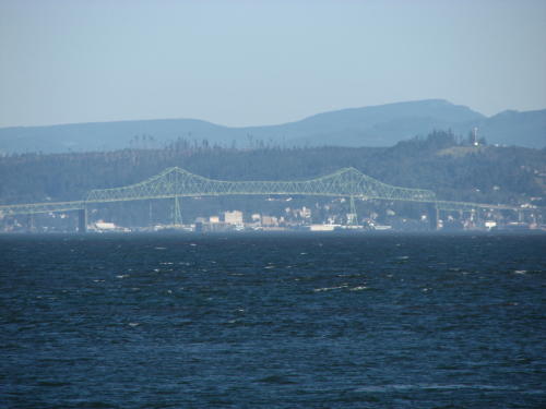
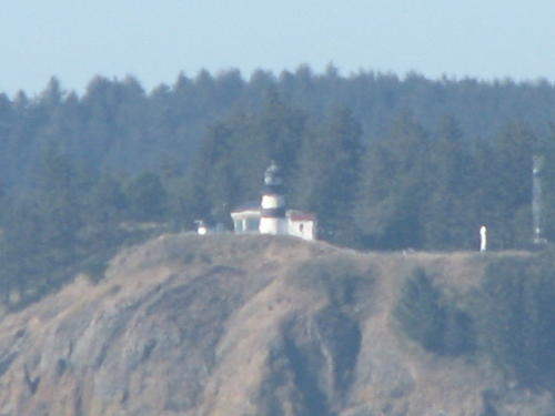
The next stop was at the Columbia River on the other side of the peninsula.
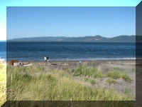
Washington and the bridge to Washington in Astoria.
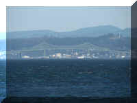
This lighthouse across the Columbia River is in Washington.
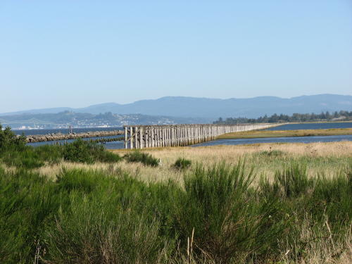
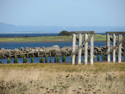
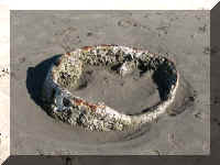
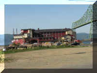
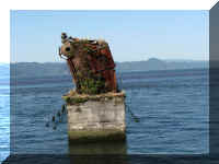
This is the remains of a train trestle from the early 1900's.
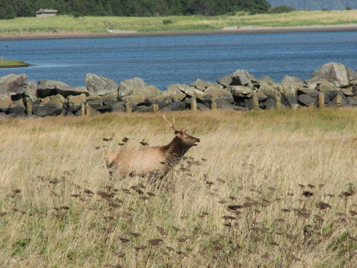
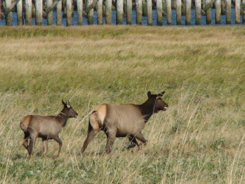
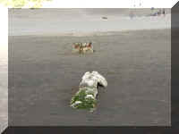
While Fred was making the trestle photographs, four elk ran in front of us.
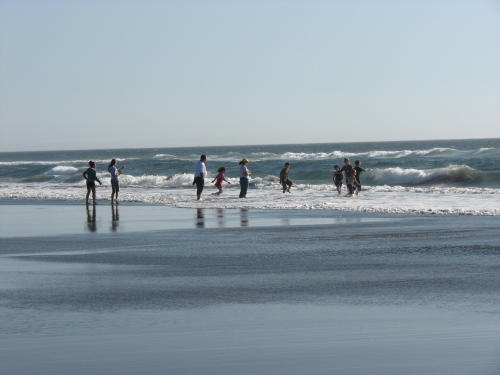
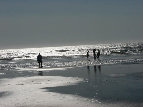
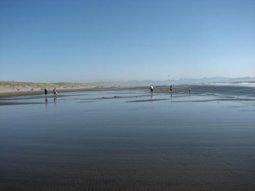
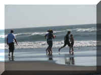
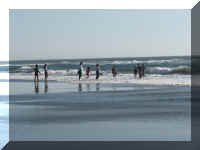
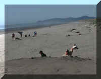
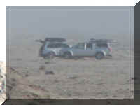
People were enjoying playing or walking on the beach. Some drove on the
beach.
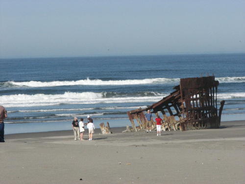
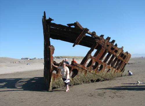
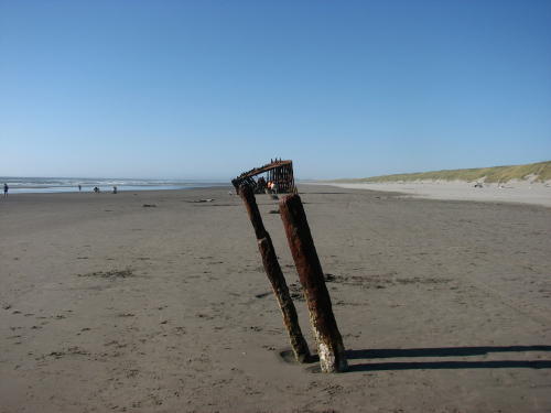
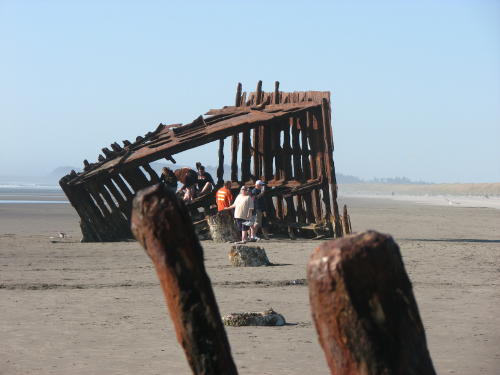
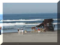
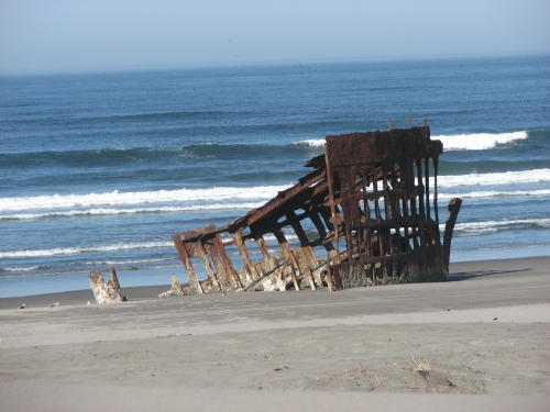
Mary Lou is holding up the bow of the Peter Iredale. A shipwreck from
1906. Sand covers much of the wreckage, what we see today - pieces of it projecting out of the sand but
still attached to the ship.
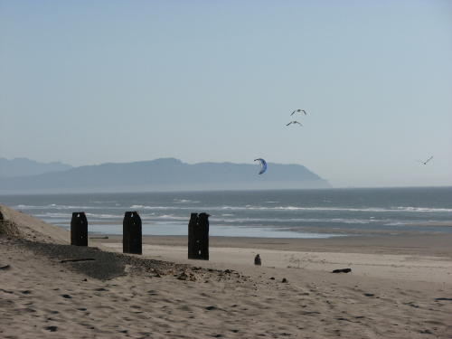 A wind surfer . . . the big one below the seagulls
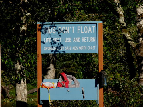
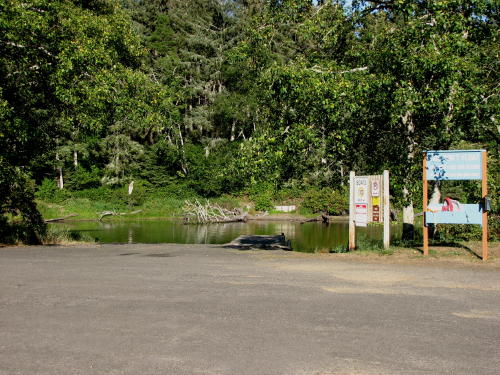
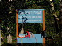
At Coffenbury Lake, we saw the same "Kids don't float" program in
action that we first saw
in Alaska.
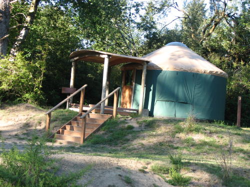
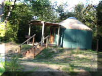 This
is a Yurt. The state parks rent these 'cabins' for about $30 a day. Using
them is like tent camping without the tent.
This
is a Yurt. The state parks rent these 'cabins' for about $30 a day. Using
them is like tent camping without the tent.
Mary Lou was invited in one when she approached a woman and asked questions
about Yurt camping. You have to bring all your camping gear. They provide a
futon, bunk bed, table with four chairs, electric heater, clothing hooks and
electricity. There is a covered porch, picnic table, fire ring and outside
bench. The plexiglass dome skylight makes the interior bright even on gloomy
days.
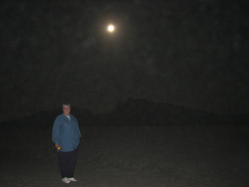
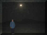 There
was a full moon one of the nights we were there.
There
was a full moon one of the nights we were there.
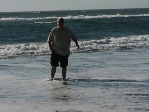
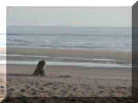
So Mary Lou wanted to go to the ocean. It was a fun visit - not a good time
for photography.
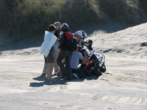
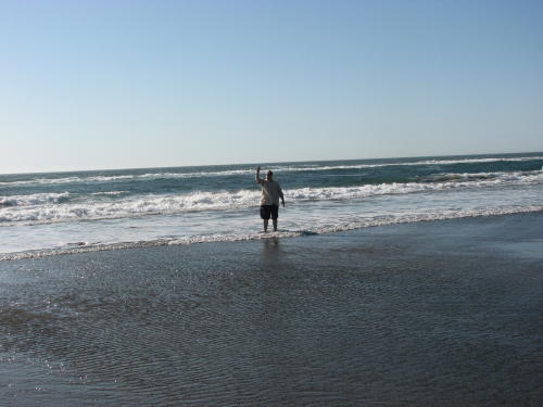
The next morning we had to look at the ocean before going to Astoria.
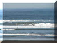
Soon after we arrived a guy sitting on the motorcycle said, "do you see
it? I have lived here all my life and have never seen a whale at this
beach." He was so excited, he told everyone that walked up.
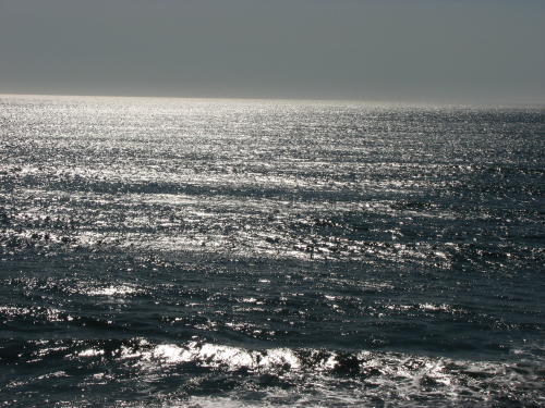
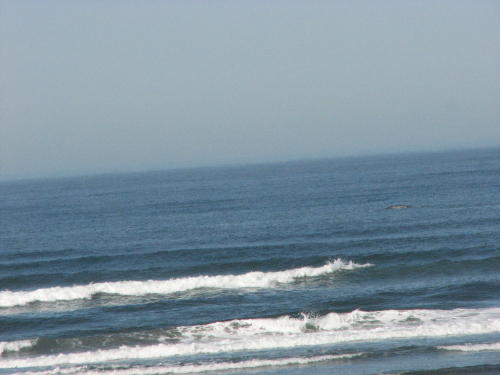
Mary Lou watched it using the binoculars and saw it rolling as it was eating
indicating it was a gray whale. It was so far out from shore the photograph
barely shows it. You can see the 'blow' and the water disturbance better than
the whale.
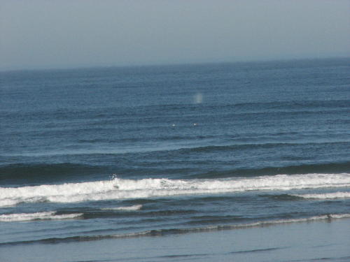
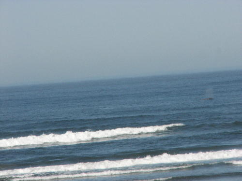
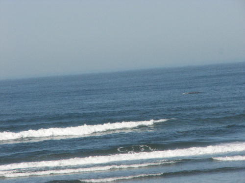
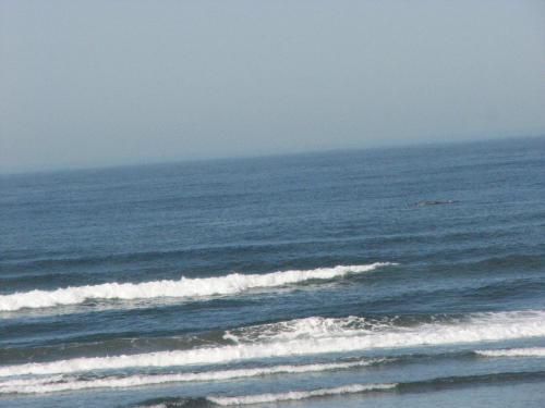
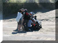
After several minutes, the guy said "oh, no" and
took off running.
When we turned to look where he went, a motorcycle
had bogged down in the sand and was on it's side.
He had gone to help them.
(The couple on the motorcycle was fine.)
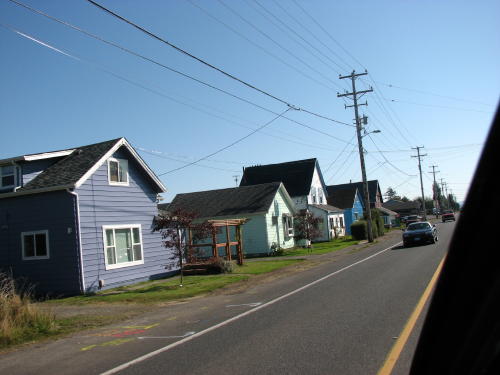
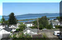
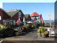
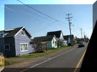 Driving
through, Hammond is definitely a drive through a seaside village.
Driving
through, Hammond is definitely a drive through a seaside village.
Top of Page
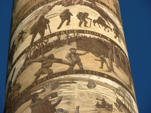
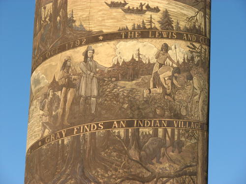
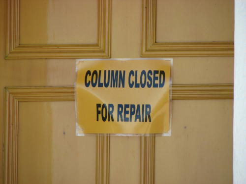
Astoria Column
The Astoria Column is a salute to Astoria's explorers and early
settlers.
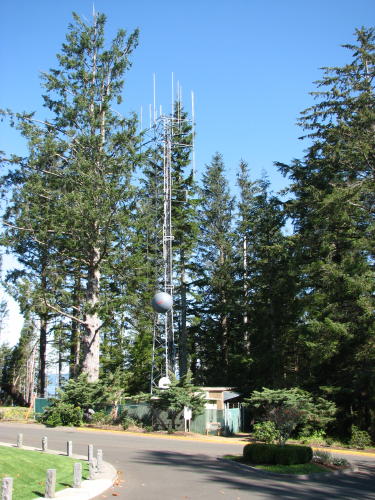
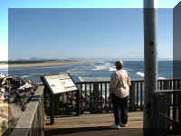
The Astoria Column is at the top of a hill in town. The hill and the 125 feet
column make the viewing platform 725 feet above sea level. From the main street
you can follow the images painted in the streets to the Astoria Column.
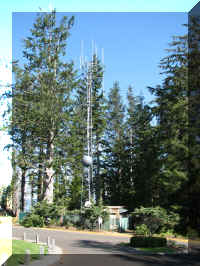
Like other tall hills and mountains,
antennas are at the top of the hill near the column.
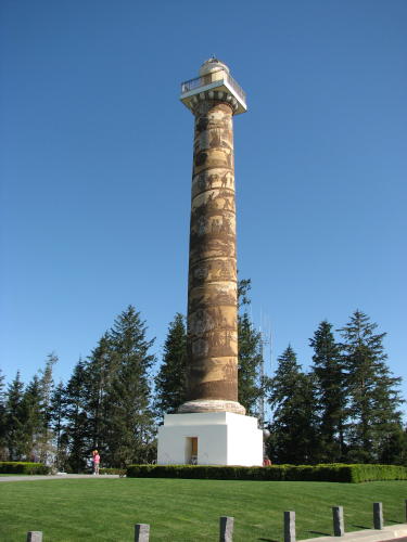
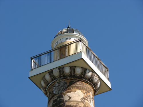
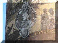
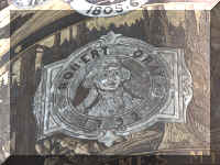
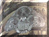
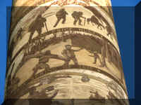
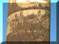
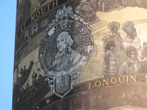
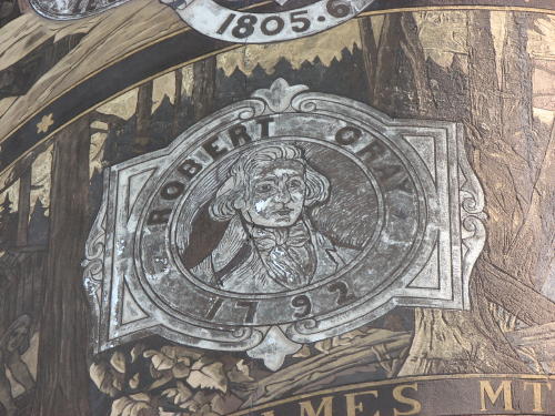
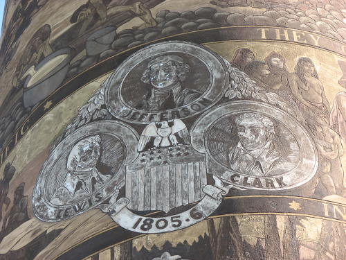
An Italian Renaissance art form that combines paint and plaster carvings
decorate the column exterior with a frieze of 14 significant events in the
discovery, exploration and settlement of the area. The column was constructed in
1926. If unwound, the length of the artwork is over 500 feet.
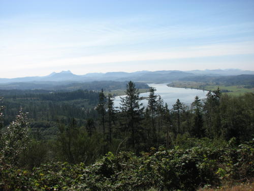
The view from this elevation was great.
 Unfortunately,
the stairway was closed for reconstruction. We were told an inspection found
them to be unsafe to remain open to the public.
Unfortunately,
the stairway was closed for reconstruction. We were told an inspection found
them to be unsafe to remain open to the public.
Top of Page
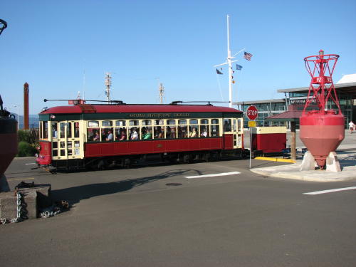
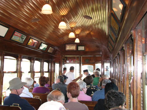
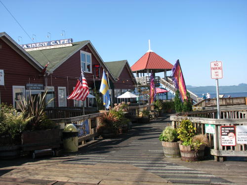
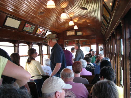
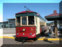
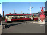
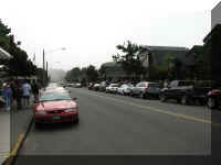
Riverfront Trolley
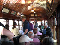
We could not pass up a ride on the Riverfront Trolley. It was only $1 per
person for a ride along the waterfront. We boarded at the Columbia River
Maritime Museum.
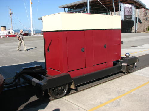
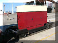
The trolley was purchased from a country in South America and restored for
use in Astoria. It is driven by electric motors on the trolley's wheels. Because
they do not have overhead wires providing power, they tow a 6,000KW generator
for power.
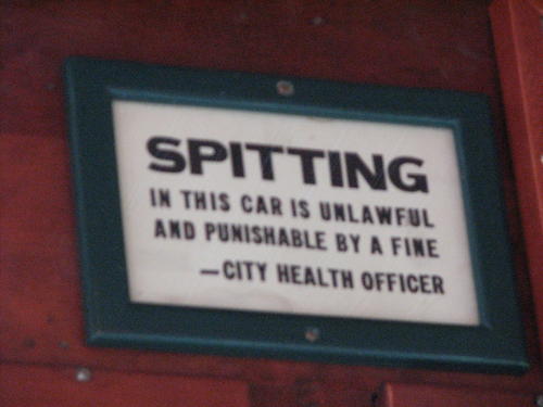
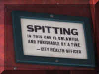 This
rule disappointed a lot of people.
This
rule disappointed a lot of people.
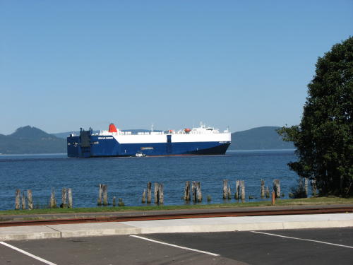
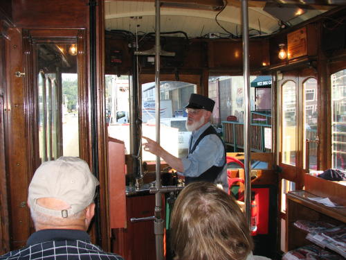
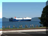
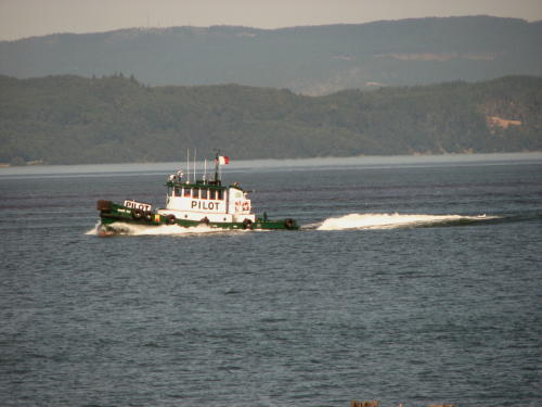
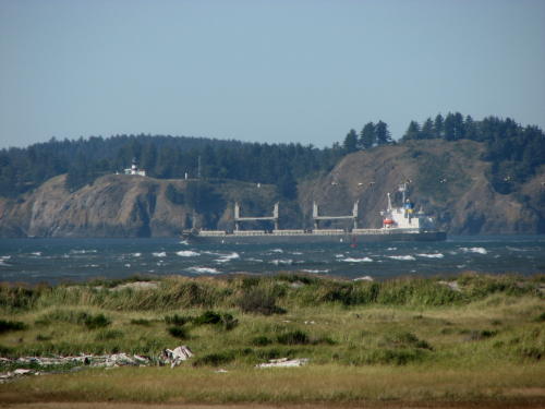
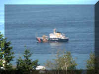
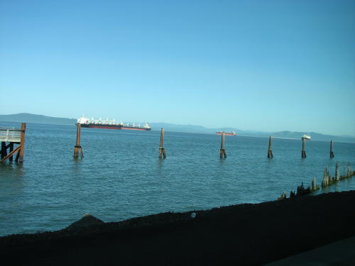
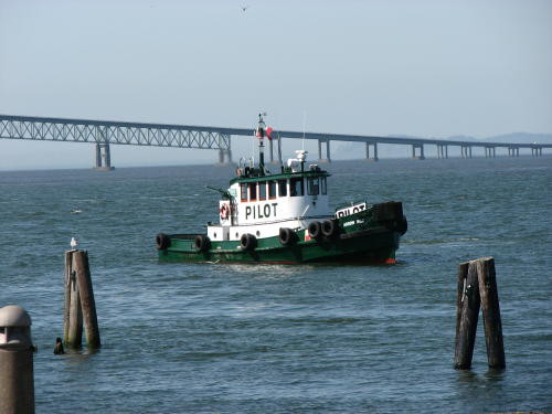
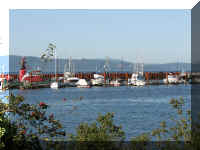
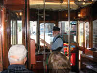 The
conductor pointed out the ships waiting for a pilot. The pilot boats take the
river pilots out to each ship because only a pilot who knows the river can
navigate the Columbia River.
The
conductor pointed out the ships waiting for a pilot. The pilot boats take the
river pilots out to each ship because only a pilot who knows the river can
navigate the Columbia River.
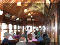
The history of the town and some of the building was narrated by the
conductor.
 Because all other cities along the Columbia River have beaches, the city
fathers decide to build a beach. They hauled in sand and this is the town
beach.
Because all other cities along the Columbia River have beaches, the city
fathers decide to build a beach. They hauled in sand and this is the town
beach.
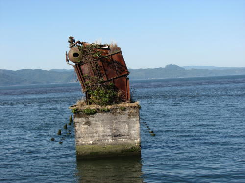
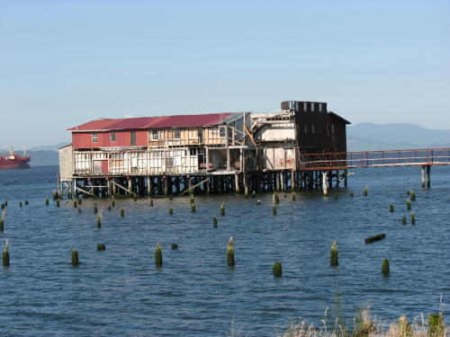
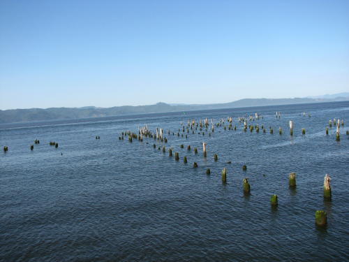
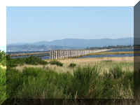
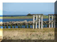
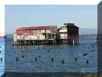
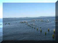
All of these pilings at one time supported buildings and piers.
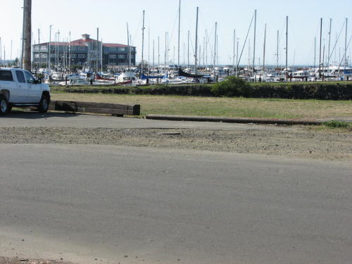
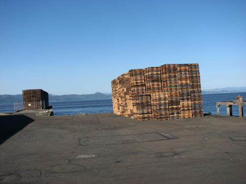
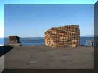
He also pointed out the viewing platform at the end of this street, the
pleasure boat marina and the pallets on the dock that were recently used to bring canned
salmon down from Alaska.
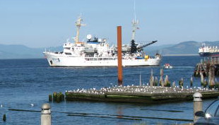 As we returned to the museum, the NOAA ship
had left the dock.
As we returned to the museum, the NOAA ship
had left the dock.
But, there was still
track beyond the museum - our ride continued.
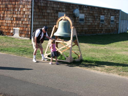
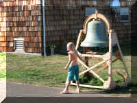
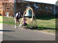
Two little girls were asked if they wanted to ring the bell. The conductor had to help
the younger one.
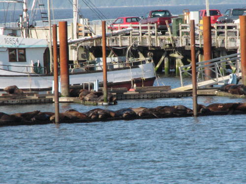
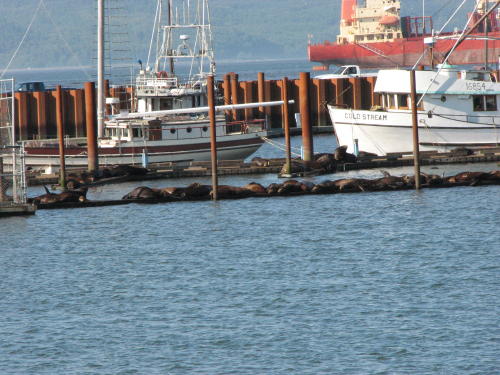
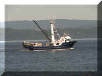
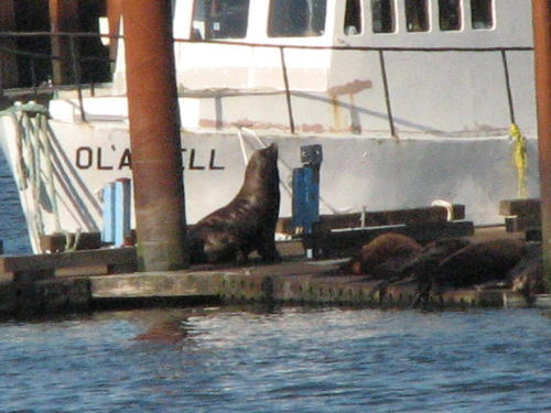
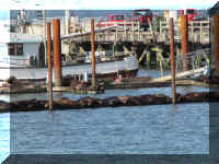
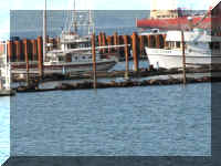
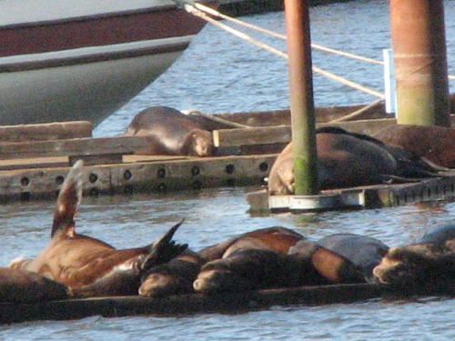
At a the working boat marina, the seals are uninvited guests. They are not
appreciated by the fisherman.
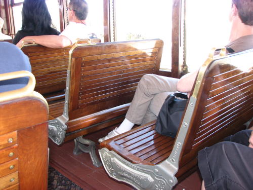
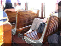
 This was the end of the line, because the trolley is too heavy to be turned
around by the passengers today, the conductor had people on each side stand and flip
the seatbacks. It was fairly easy - grab the brass handle and pull hard.
This was the end of the line, because the trolley is too heavy to be turned
around by the passengers today, the conductor had people on each side stand and flip
the seatbacks. It was fairly easy - grab the brass handle and pull hard.
Then, the two men switched roles also - one drives, one narrates. They are
volunteers who work one day a week.
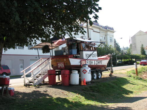
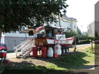
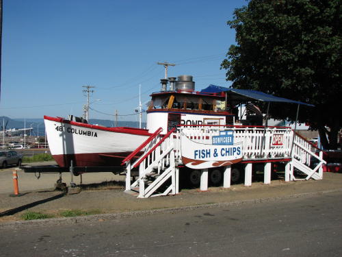 We
asked the ticket gal at the museum about places to eat. First, we mentioned the
place across the street - she immediately said "excellent". She gave
us two other suggestions. We decided to have lunch across the street - good
choice. The tuna fish and chips were fantastic.
We
asked the ticket gal at the museum about places to eat. First, we mentioned the
place across the street - she immediately said "excellent". She gave
us two other suggestions. We decided to have lunch across the street - good
choice. The tuna fish and chips were fantastic.
The history of the boat was
posted.
The dining area.
Just like all trips we take pass through Indiana, everytime we left or
returned to camp we drove to the ocean.
Well, so much for the forecast of clear skies.
 We
knew the day was not going to be to our liking as soon as we hit the road in the
morning.
We
knew the day was not going to be to our liking as soon as we hit the road in the
morning.
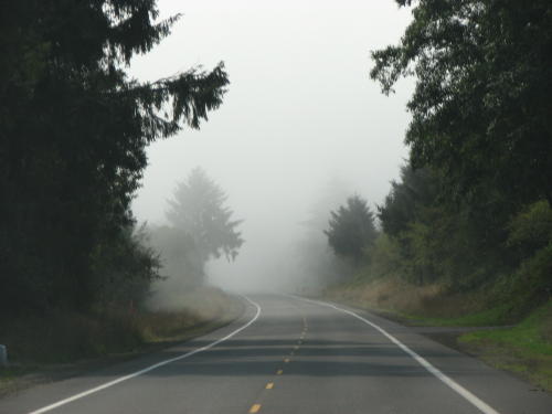
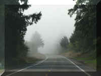
It was going to be difficult to see the beautiful Oregon coast today.
Top of Page
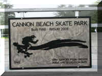
Cannon Beach
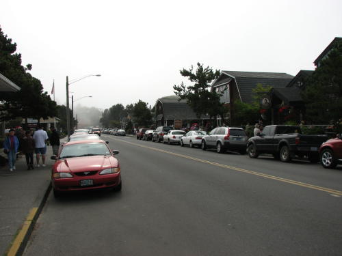
 Our
first stop was Cannon Beach. One attraction here is the world's third largest
monolith, Haystack Rock. We didn't see it - too much fog.
Our
first stop was Cannon Beach. One attraction here is the world's third largest
monolith, Haystack Rock. We didn't see it - too much fog.
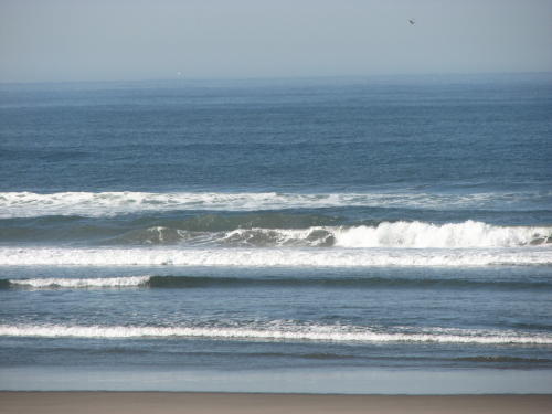
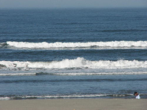
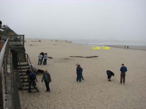
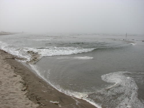
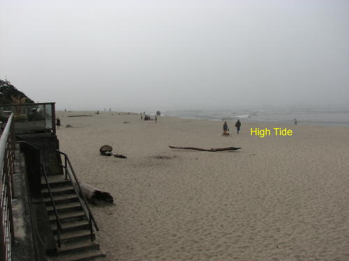
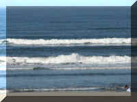
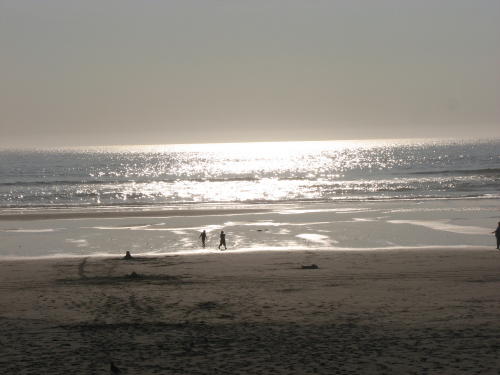
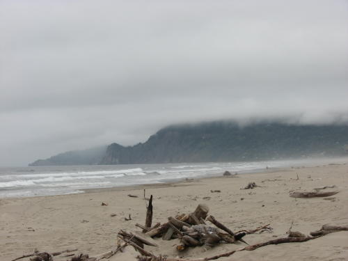
We arrived to a fogged-in beach at low tide. We watch the water rushing in a
low spot behind a sandbar. By the time we had lunch and 'shopped' a little, it
was almost high tide. The difference can be seen in the photographs.
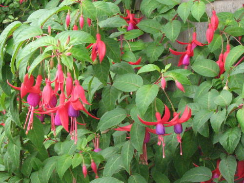 The town had a lot of flowers decorating the downtown and beach area. These
were especially pretty growing outside alongside a building.
The town had a lot of flowers decorating the downtown and beach area. These
were especially pretty growing outside alongside a building.
When it is foggy you find other interesting things to photograph.
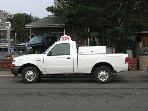
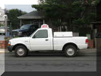 A pizza delivery truck with a heated 'keep warm' compartment on the bed rails.
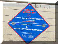
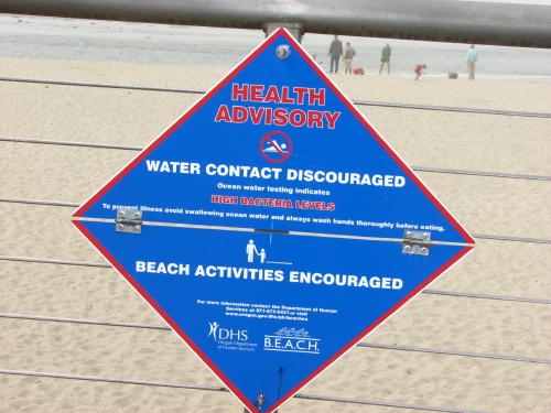
A warning sign that water use is to be avoided.
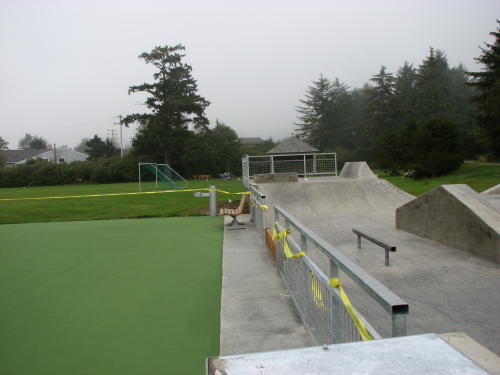
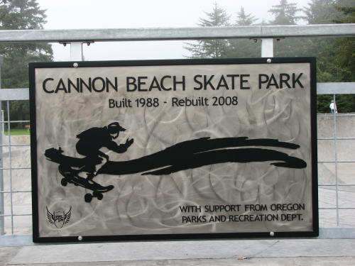
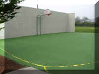
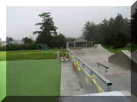
A skate park, basketball court and soccer field . . .
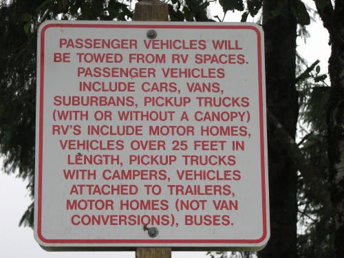
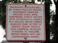 We
told you in Yellowstone that RV parking was not honored by many visitors. Cannon Beach takes
their RV parking seriously, posting very specific information including towing of
non-RV vehicles.
We
told you in Yellowstone that RV parking was not honored by many visitors. Cannon Beach takes
their RV parking seriously, posting very specific information including towing of
non-RV vehicles.
 The
fog continued. We decided to drive another 15 miles to Nehalem Bay State Park and
wait it out for a day or so.
The
fog continued. We decided to drive another 15 miles to Nehalem Bay State Park and
wait it out for a day or so.
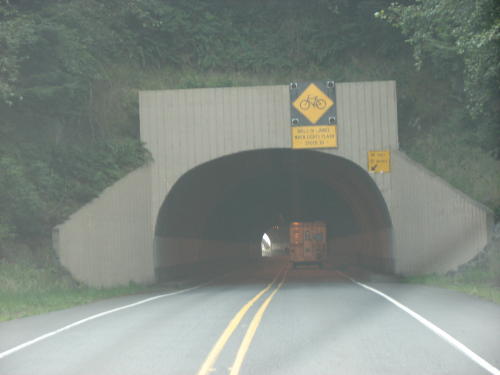
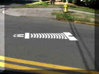
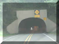 This
tunnel provided a warning signal that bicycles were in the tunnel and slowed you
to 30MPH. The sign was activated by the bicyclist before they entered the
tunnel.
This
tunnel provided a warning signal that bicycles were in the tunnel and slowed you
to 30MPH. The sign was activated by the bicyclist before they entered the
tunnel.
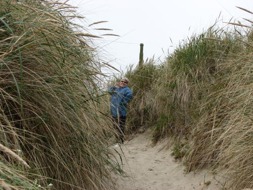
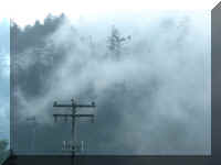
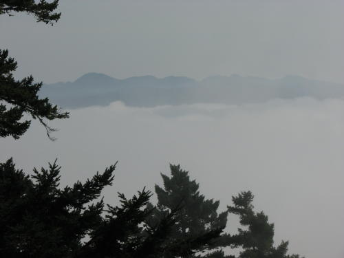
Can you say 'fogged-in'?
Top of Page
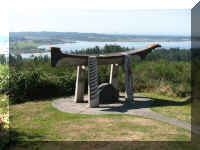
Nehalem Bay
State Park
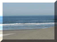
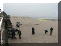
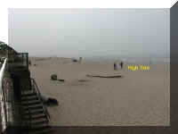
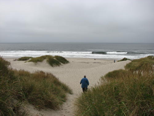
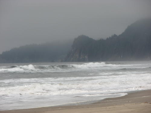
The next day we worked on our Web site and visited the beach at Nehalem Bay
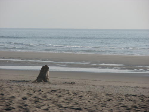
State Park. It was cloudy. It was foggy. But, we still walked down to the shore,
sat on a log for a while and made some photographs. In spite of weather conditions, it
was still enjoyable.
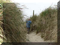
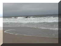
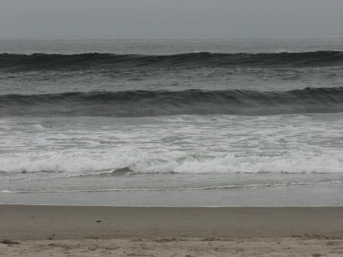
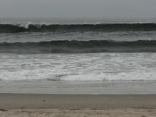
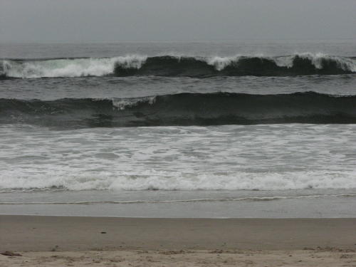
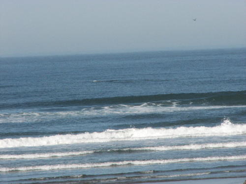
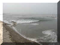
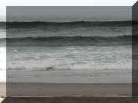
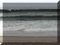
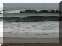
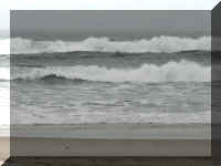
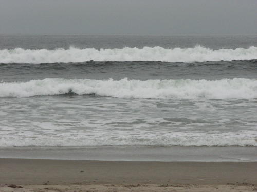
Every wave develops a little differently . . . we tracked this one.
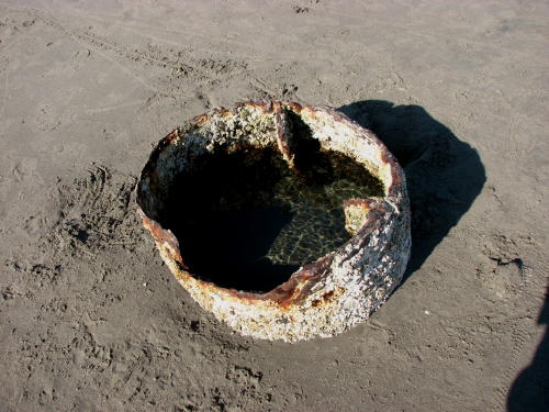
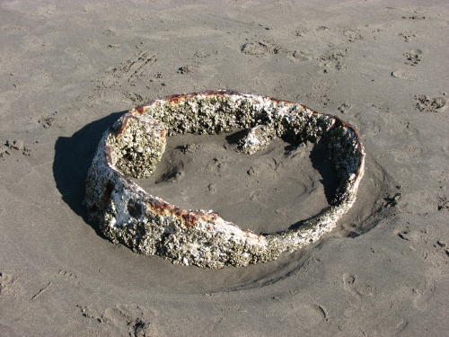
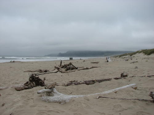
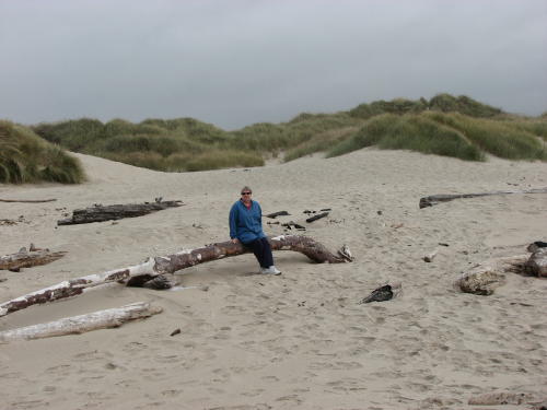
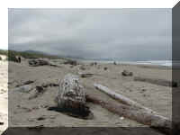
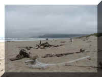
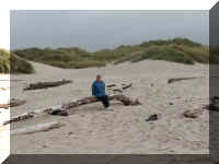
Logs and wood of all shapes and sizes were scattering the beach. We did not see
many seashells.
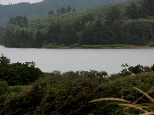
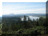
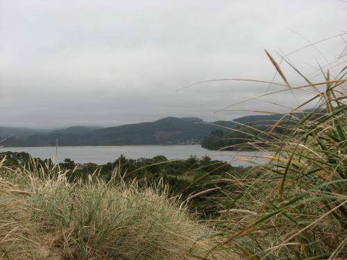
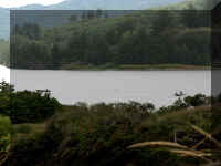
Coming back we could see Nehalem Bay. When we
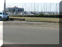
explored, we found it was a popular place for the fisherman. There were several
empty boat trailers in the parking lot.
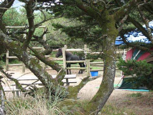
We also toured the campground today. You can see some interesting things in
the various camps - equipment and people. We have seen horse camps before
... but ... the map showed an airplane camp. We have never seen an
airplane camp.
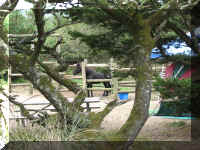
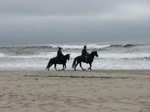
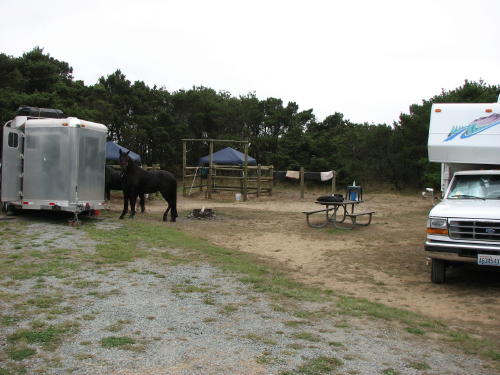
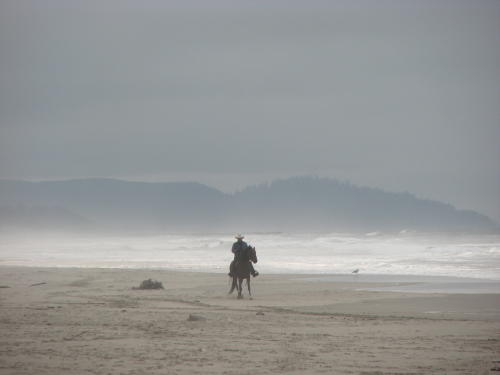
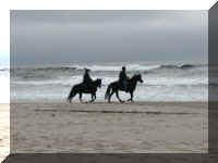
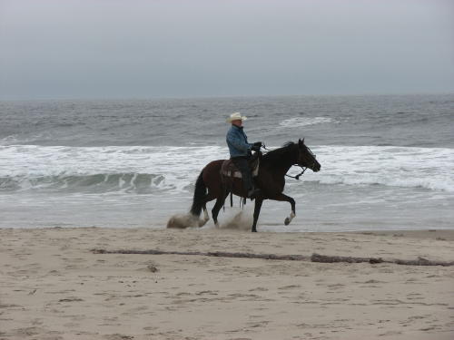
Corrals are provided for the horses.
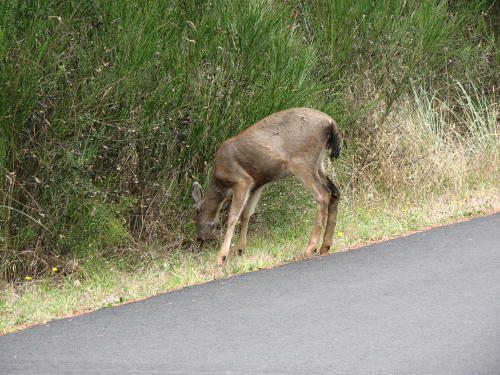
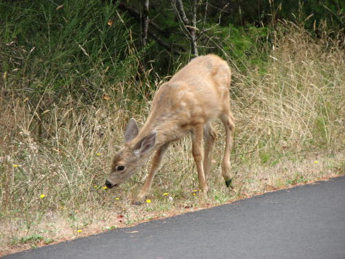
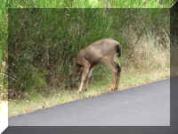
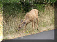
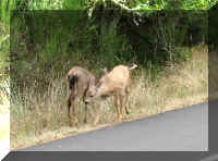
On the way to the airplane campground we saw black tail deer
along the road.
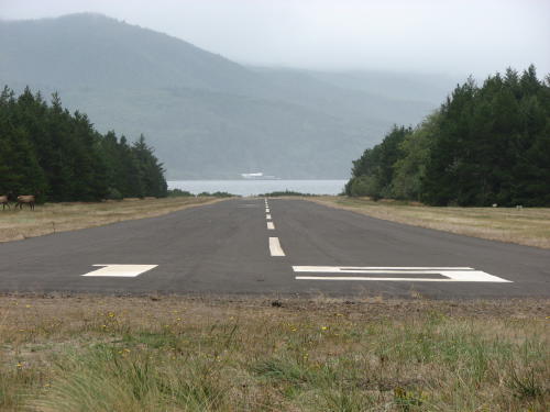
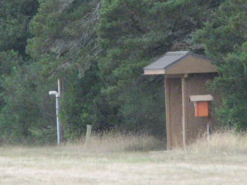
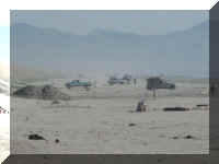
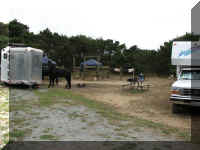
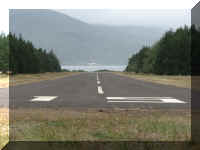
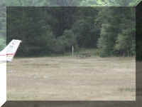
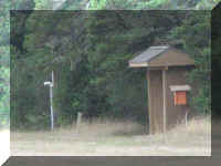
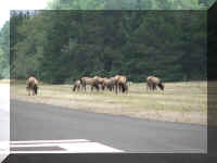
The airport campground had a runway, parking spots, six campsites and, of
course, a registration/fee area. We are assuming it had pit toilets because on
the campground map the campsites were listed as 'primitive'.
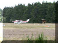
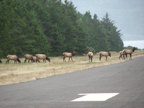
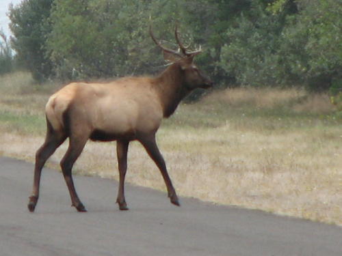
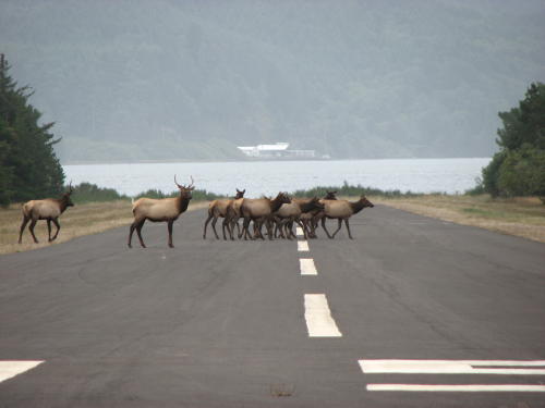
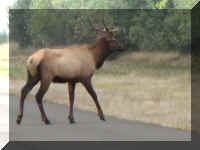
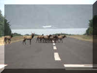
While Fred was making the photographs, a herd of elk came out of the woods to
feed - bucks, does and calves. A buck led them across the runway. The does and
calves bunched up and a couple bucks followed. Every once in a while, a buck
would look in our direction.
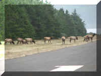
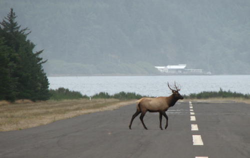
We were disappointed that the fog did not clear completely but we still had a
good time.
Go to Next page:
On the road along the Oregon coast (Page 2 of 4) - 2008
Other Oregon coast pages:
On the road along the Oregon coast (Page 3 of 4) - 2008
On the road along the Oregon coast (Page 4 of 4) - 2008
GO
BACK TO > > > Pacific Northwest - 2008
Top of Page