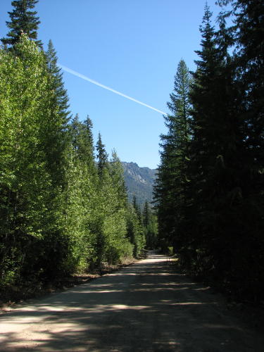
On the road in Washington - 2008 . . .
during our travels in the Pacific Northwest
Updated: 11/30/08
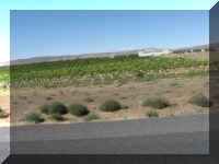
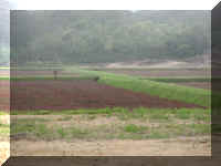
 We
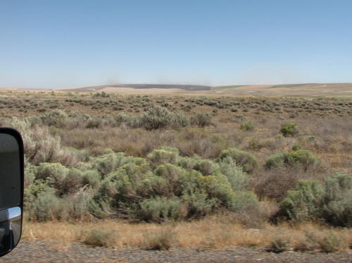
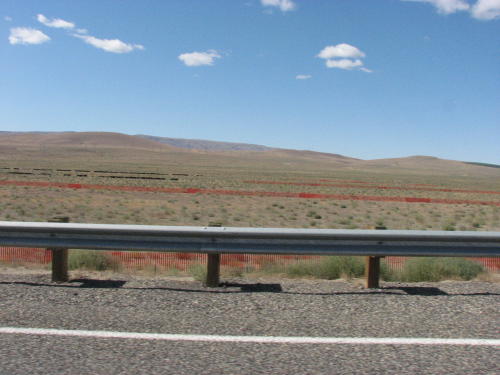
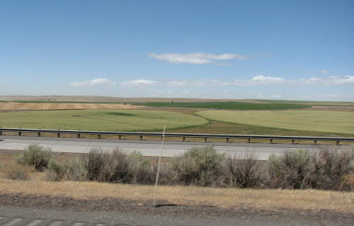
have been remarking as we traveled across this part of the country about the
amount of irrigation required to grow crops. This photograph shows the result of
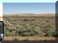
using what is called a 'circle' type irrigator - a round field of crops. The land between the
circles is covered with sagebrush.
We
have been remarking as we traveled across this part of the country about the
amount of irrigation required to grow crops. This photograph shows the result of
using what is called a 'circle' type irrigator - a round field of crops. The land between the
circles is covered with sagebrush.
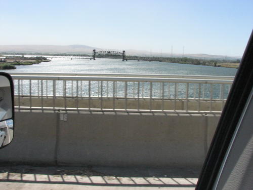
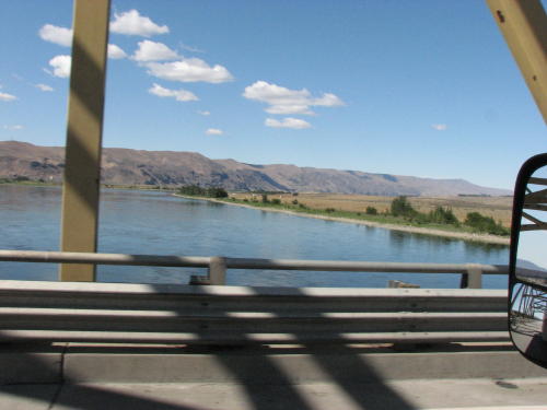
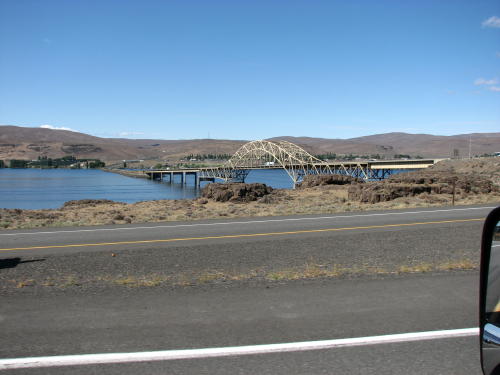
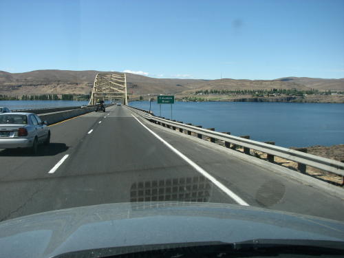
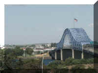
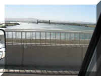
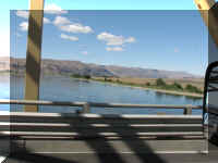
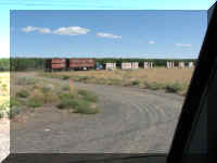
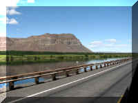
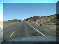
Crossing the Columbia River on the road into Washington.
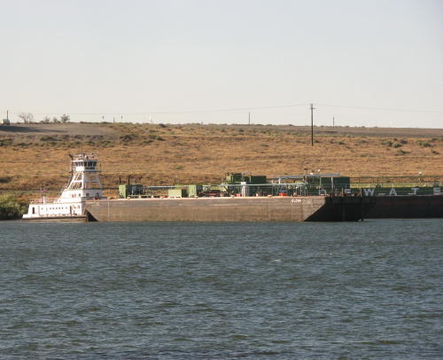
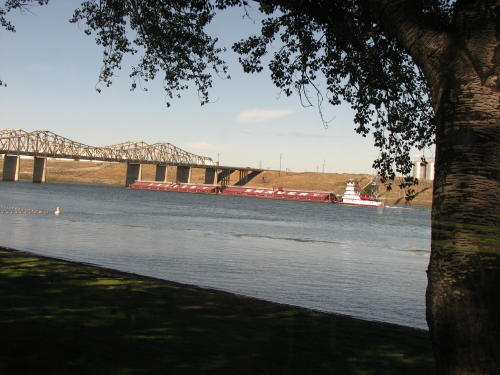
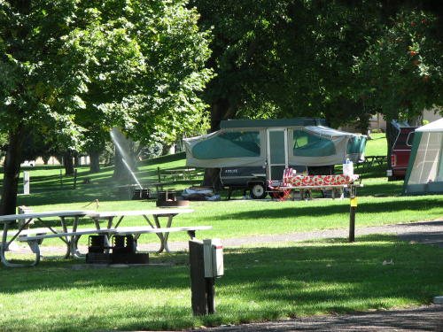
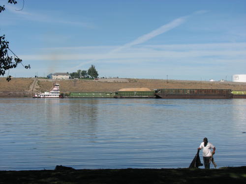
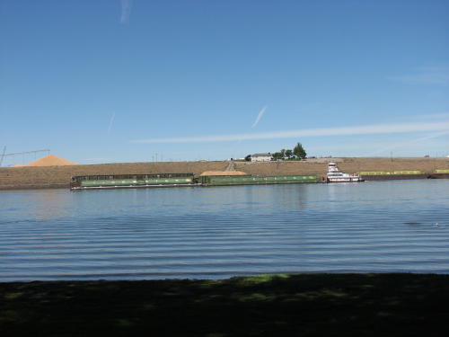
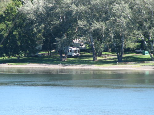
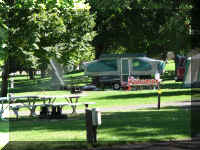
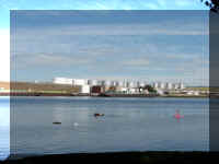
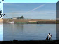
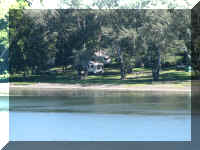
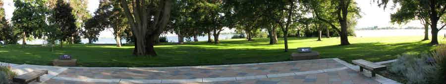
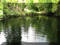
The Army Corp of Engineers Hood Park campground was very nice. We watched the river traffic
whenever we were in camp.
They have interesting rules to maintain the beautiful grass. Tents had to be
moved every two days. You were advised to pay attention to 'wet' areas on a map and not
pitch your tent there. Because, every night the sprinkler system WAS going to water the grass.
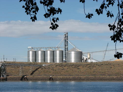
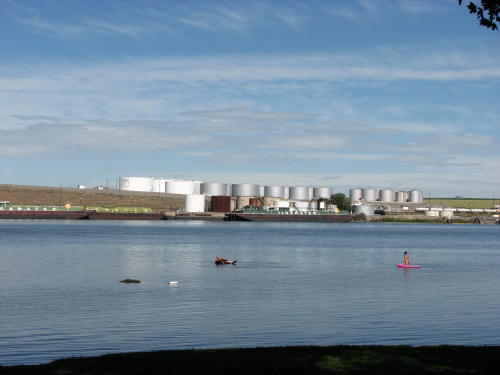
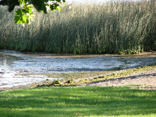
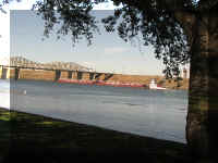
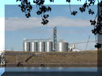
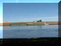
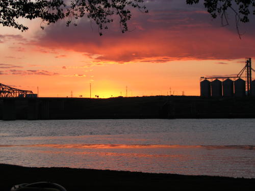
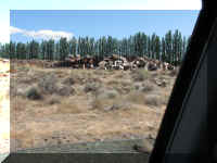
The view from our campsite - the bridge over the Snake River and silos and
tanks on Tank Farm Road.
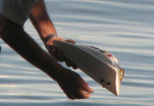
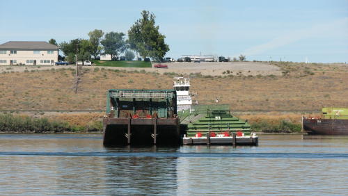
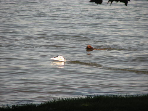
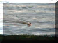
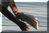
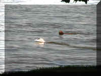
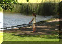
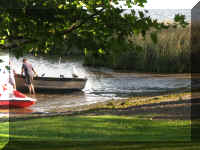
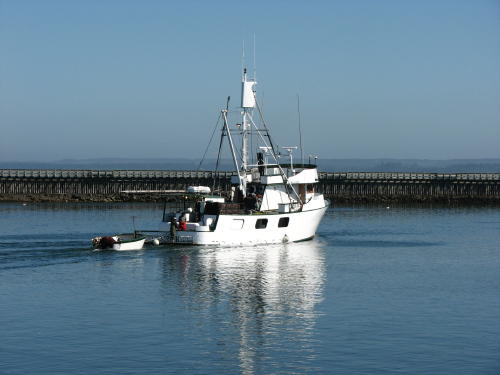
This guy ran his model boat on the river.
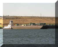
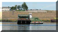
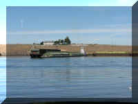
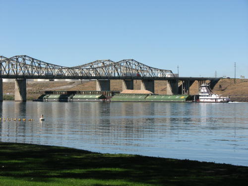
This tug turned these barges 180 degrees.
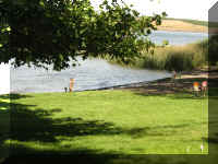
The park had a very nice marked swimming area. Friday before Labor Day, the
staff worked for hours picking up seaweed along the campground.
The next morning two kids, probably brother and sister, had a seaweed fight.
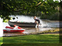
Remember the guy with the model boat - he tormented a dog for a while. The dog
should have been hoarse from all the barking.
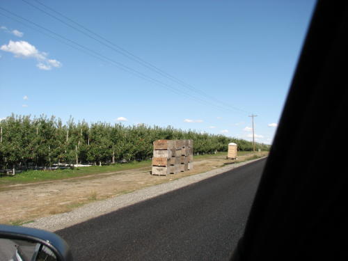
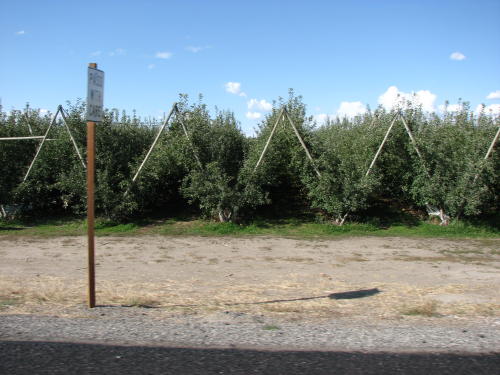
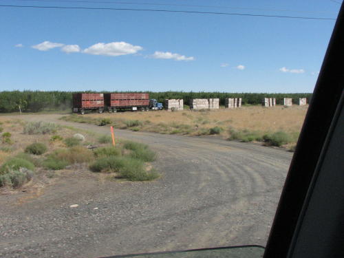
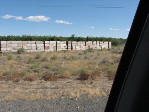
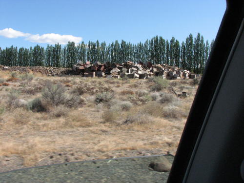
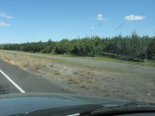
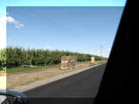
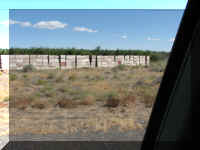
Driving to the Ice Harbor Lock and Dam area, we passed through orchards ready
for the harvest.
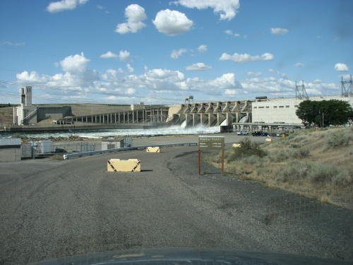
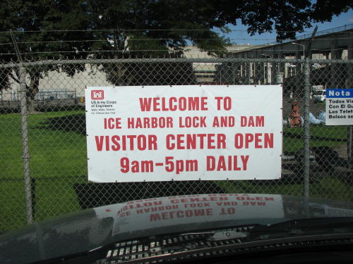
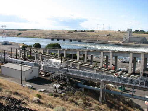
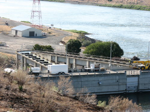
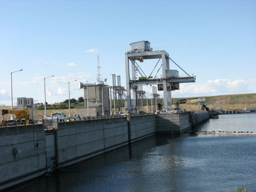
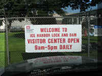
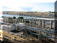
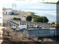
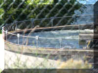
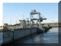
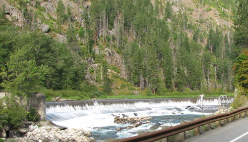
Ice Harbor Lock and Dam did not allow cameras inside. What a bummer!
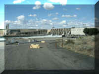
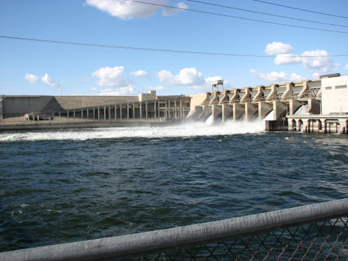
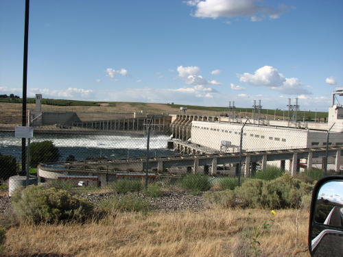
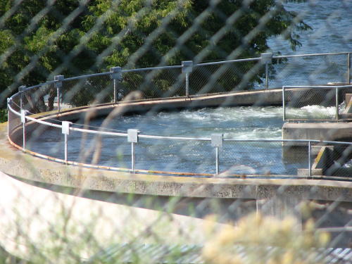
Two fish ladders permitted the fish to by-pass the dam.
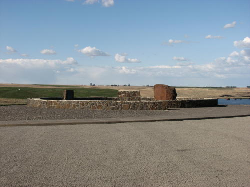
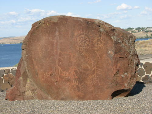
A Indian Memorial honoring the various Native Americans tribes in the area
was located overlooking the dam.
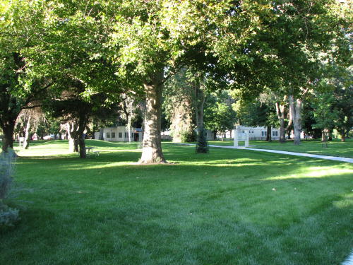
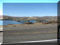
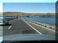
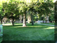 The
Sacajawea State Park was very well maintained. Plenty of water from both
the Snake and Columbia rivers was used to keep the grass green.
The
Sacajawea State Park was very well maintained. Plenty of water from both
the Snake and Columbia rivers was used to keep the grass green.
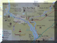
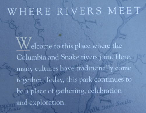
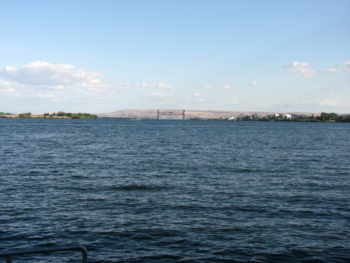
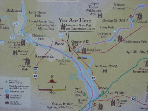
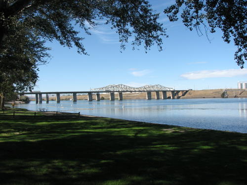
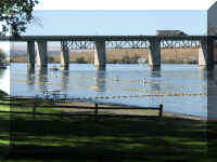
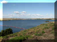
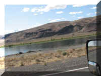
The Snake River flows from the left, the Columbia River
flows from the right.
They flow together as the Columbia River under the train bridge in the center of
the both photographs to the Pacific Ocean.
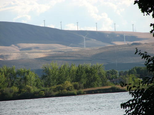
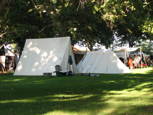
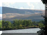
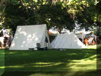
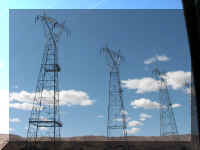
Outside the park we could see a wind farm. Inside the park we encountered a reenactment.
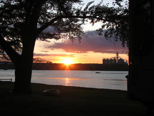
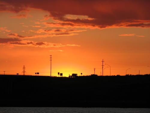
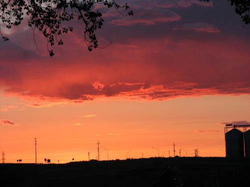
The night before we left Hood Park, we finally had a nice sunset.
Do you see the RV pulling a boat?
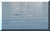
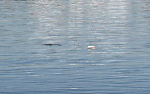
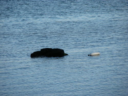
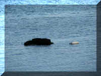 The
entire time we were at that park we observed a boat fender floating in the water
near a 'ripple'. Depending on wave/wake action we would see a rock. It seemed
like the day we left, the Army Corp of Engineers had lowered the Snake River.
The
entire time we were at that park we observed a boat fender floating in the water
near a 'ripple'. Depending on wave/wake action we would see a rock. It seemed
like the day we left, the Army Corp of Engineers had lowered the Snake River.
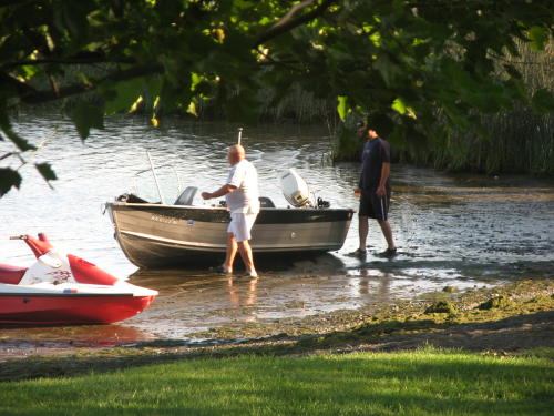
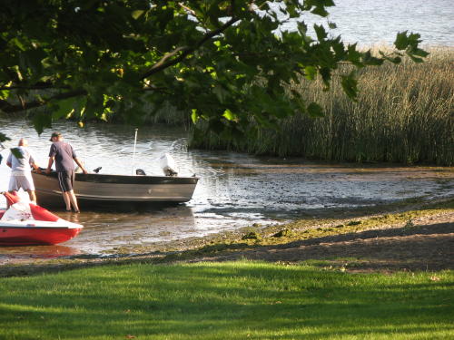
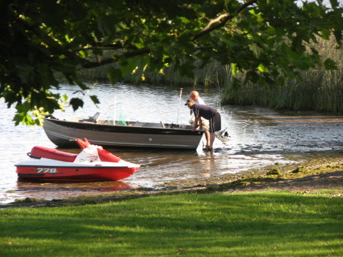
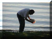
It
caught this boater by surprise.
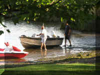
Let's see . . . Do we pull or do we push?
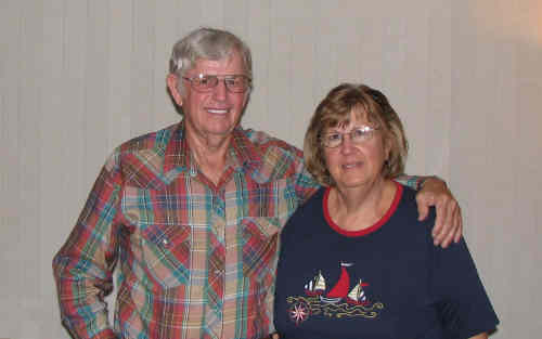
 We were in the
Kennewick/Pasco area to visit a couple we had met in Alaska in
2005. We kept in touch occasionally by e-mail since our time in Alaska.
When Hattie found out we were heading in their direction, she invited us to stop
by. We enjoyed our day with Nettie and Don, reminiscing about Alaska and other
topics. Many people you meet on the road you never see again - in this case, our
paths crossed again. Maybe, they will cross again in Michigan.
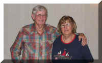
We were in the
Kennewick/Pasco area to visit a couple we had met in Alaska in
2005. We kept in touch occasionally by e-mail since our time in Alaska.
When Hattie found out we were heading in their direction, she invited us to stop
by. We enjoyed our day with Nettie and Don, reminiscing about Alaska and other
topics. Many people you meet on the road you never see again - in this case, our
paths crossed again. Maybe, they will cross again in Michigan.
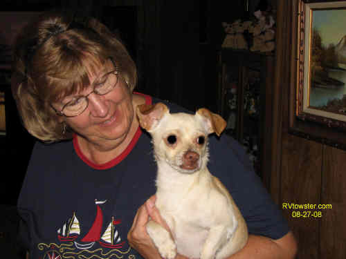
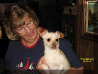
Oh, we have to mention Taco - a stray Nettie picked up in Arizona. (He is a
little spoiled.)
On the road again . . .
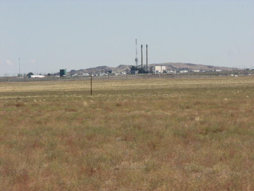
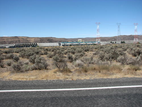
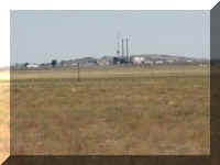
This facility is located on the US Department of Energy Hanford Site. It was
across the highway on the map is an area labeled the Hanford Reach National
Monument. We understand that someplace near here, they developed the uranium for
the bomb dropped on Hiroshima. We are going to check with Don to verify
it.
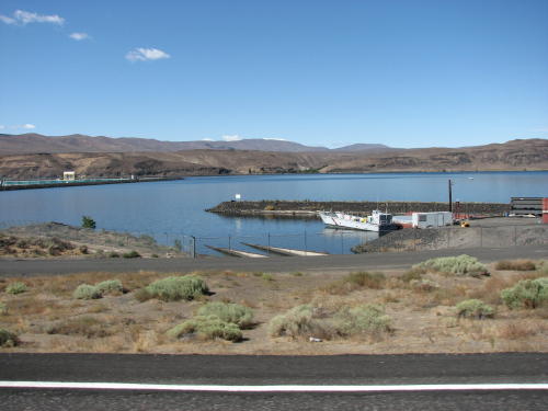
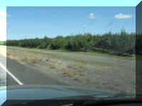
We now pass the Columbia River frequently.
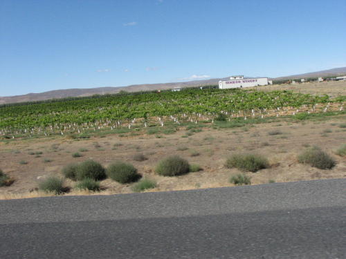
We drove through a large area of fruit farms - apples, grapes, pears. This is
the 'wine country' of Washington.
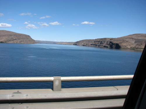
The Columbia River certainly is beautiful and it has lots of dams along it.
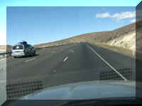
Don told us we would encounter 'ten mile hill' on our route. As with many hills, we are in the 'slow vehicles keep
right' lane. No matter
how fast we can ascend the hill, the cars go faster.
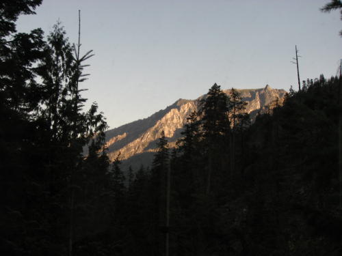
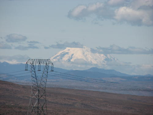
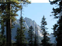
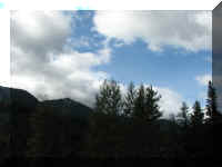
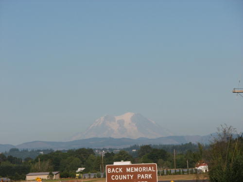
From the rest area at the top, we got our first look at Mount Rainier.
Ah, going down the 'ten mile hill' was a lot easier than going up.
We had another stop. Mary Lou's cousin Sue also lived in Washington close to
our route.
 Sue had found us a 'RVs only, no campfires' pull-off to park our HHII
during our
visit. It was reasonably close to their house. Considering the camp fee was
'zero', we could afford to drive to their house. We parked in a location where the solar panels would be in the sun most
of the day. It was a great spot.
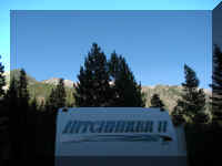
Sue had found us a 'RVs only, no campfires' pull-off to park our HHII
during our
visit. It was reasonably close to their house. Considering the camp fee was
'zero', we could afford to drive to their house. We parked in a location where the solar panels would be in the sun most
of the day. It was a great spot.
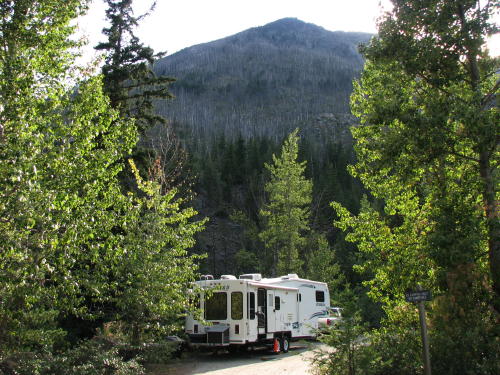
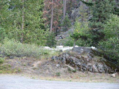
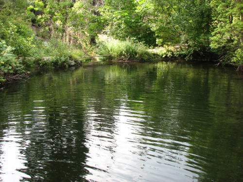
 < This was the view beside our HHII . . .
and . . . the view when we opened the door. >
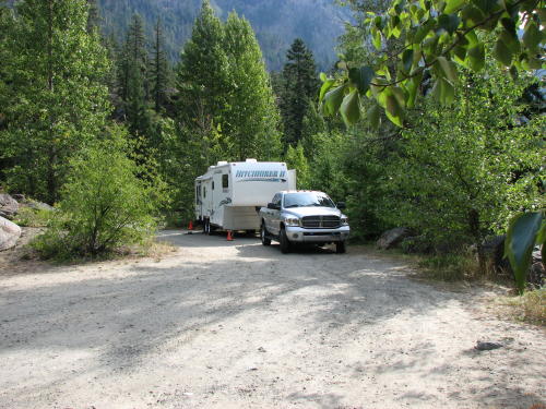
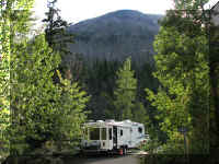
Driving down the road, this is all people saw of our HHII.
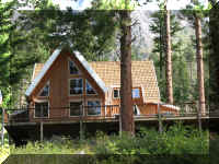
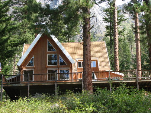
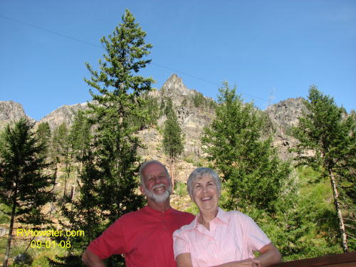
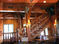
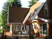 Bill and Sue
hand built their house in the mountains It is a dream come true.
Bill and Sue
hand built their house in the mountains It is a dream come true.
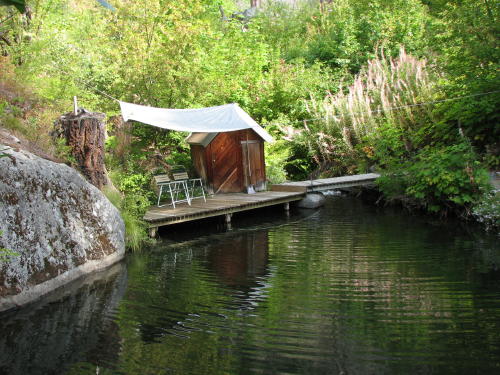
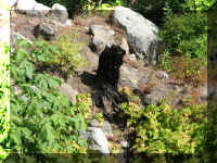
This is their
backyard.
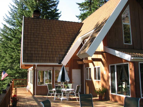
They have already experience two forest fires. The second one came too close.
A pond now provides water in the event of a forest fire. They have a high
pressure water pump, fire hose and 30 sprinkler heads surrounding the house and
garage.
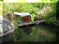
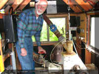
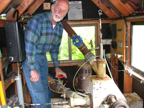
Did we mention that Bill is an engineer and generates
all of their electric needs from water on the property?
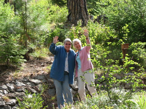
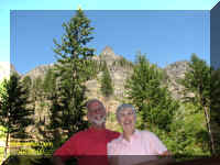
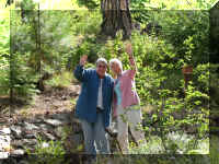 The
gals enjoyed each others company.
The
gals enjoyed each others company.
Fred and Bill had a lot to talk about as well.
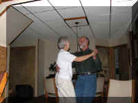 Our
last night together, we reminiscenced about our favorite music - Sue and Bill
really got into it.
Our
last night together, we reminiscenced about our favorite music - Sue and Bill
really got into it.
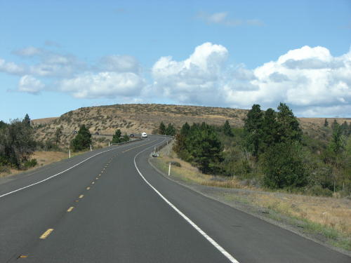
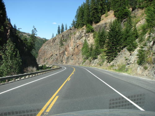
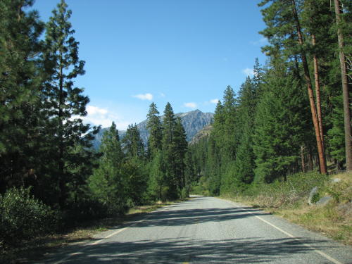
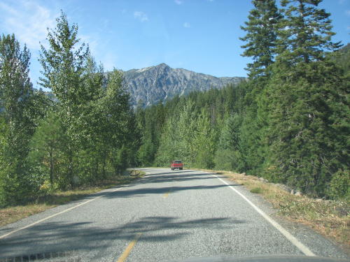
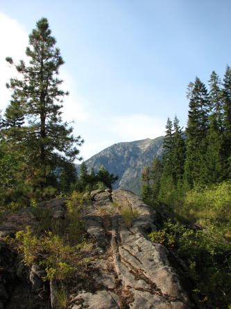
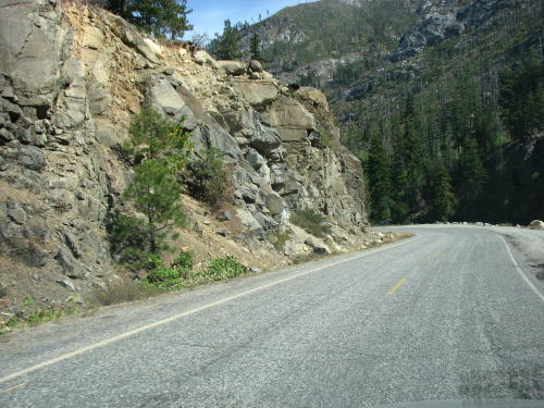
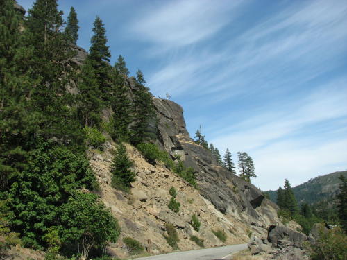
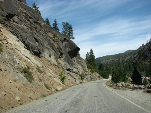
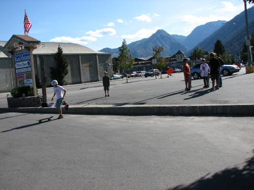
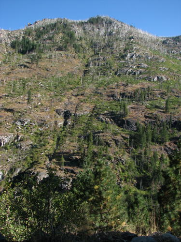
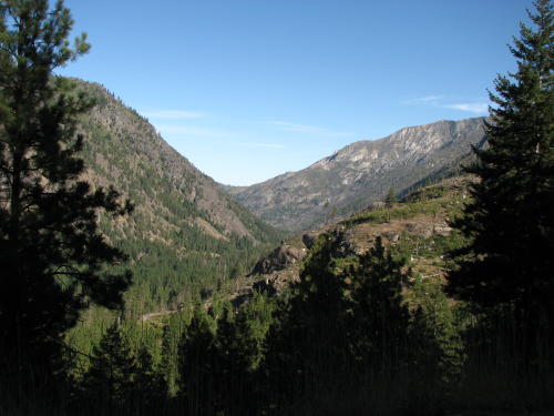
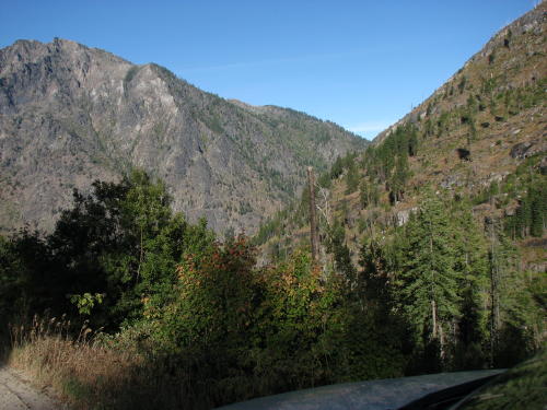
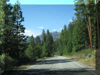
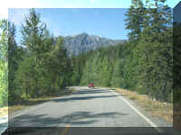
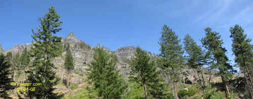
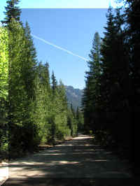
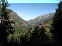
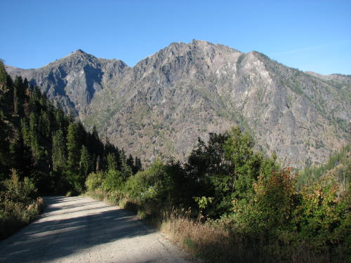
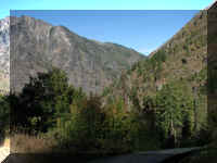
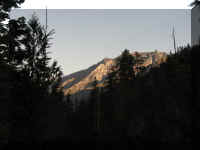
On the road again for a side trip. Driving along or stopping for a view was
always interesting.
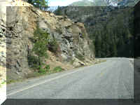
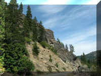
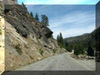
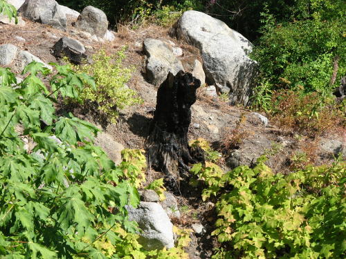
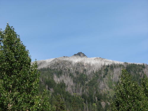
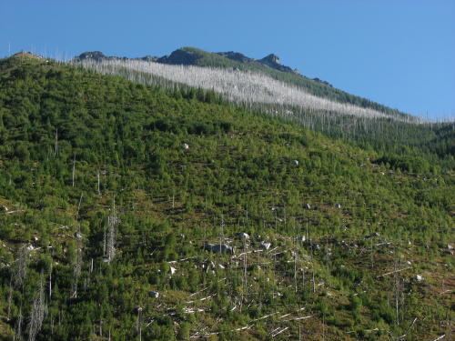
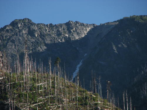
Fred found the sunlight on dead trees photogenic.
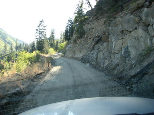
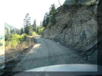
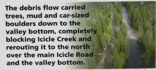 One
road is closed due to a landslide.
One
road is closed due to a landslide.
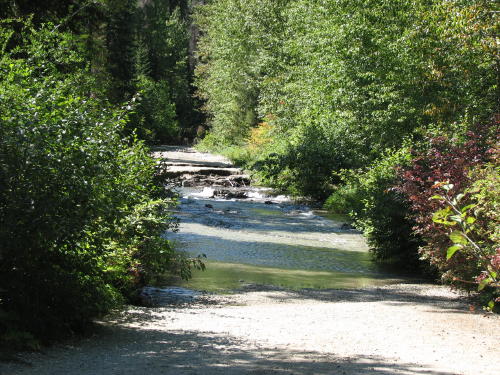
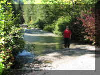
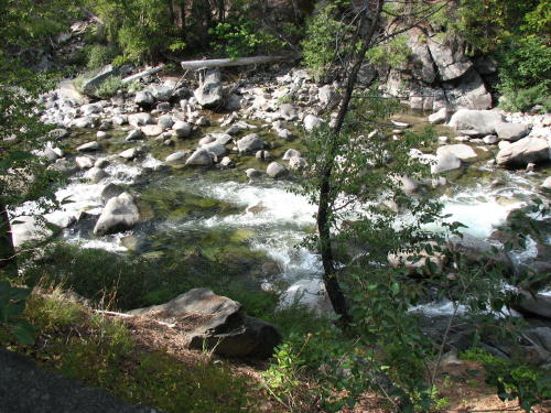
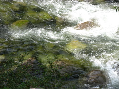
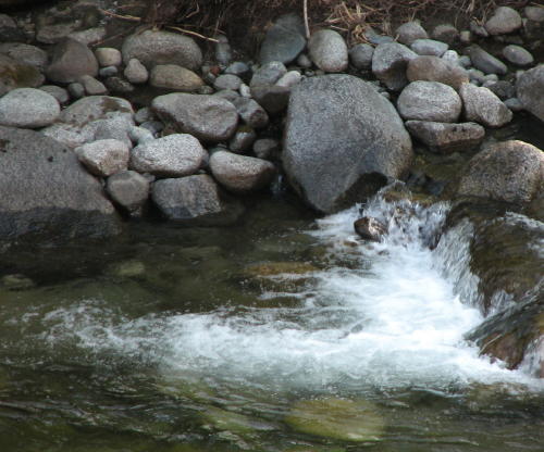
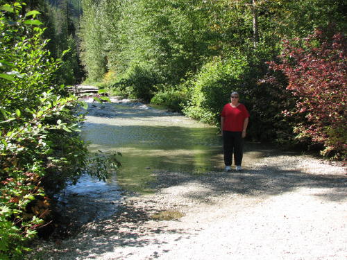
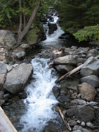
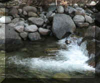
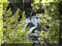
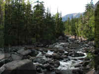
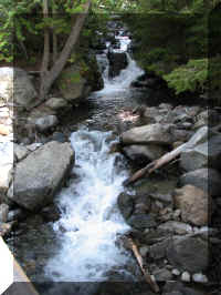
If we had rubber boots, we would have walked across most of Icicle Creek. Mary Lou
is standing in a real shallow part.
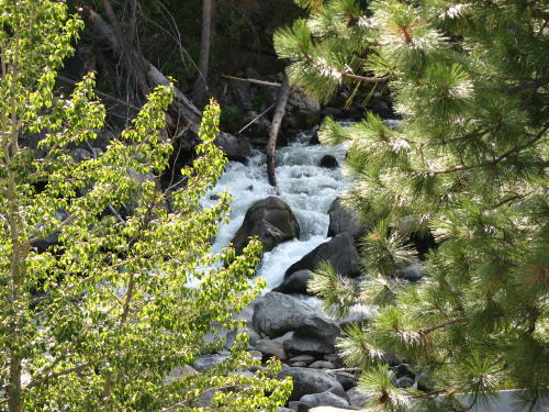
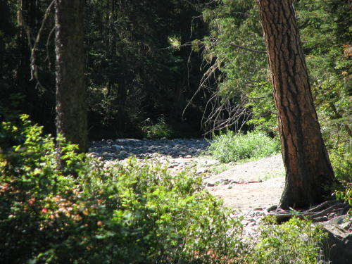
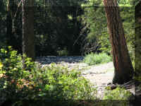
This is what appears to be the prior creek bed - dry.
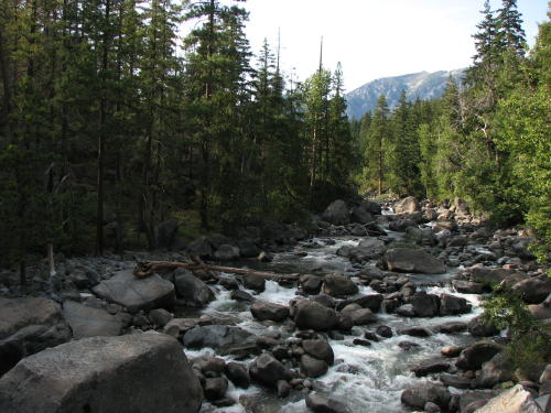
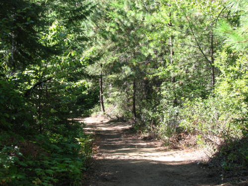
This one mile road led to the
landslide.
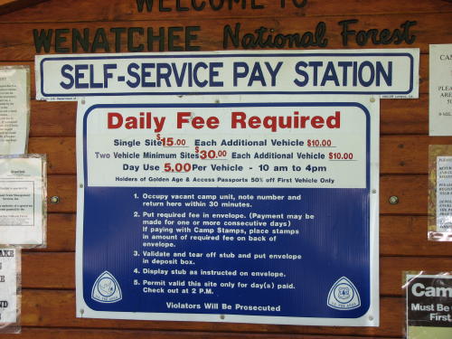
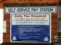
A lesson for the day . . .
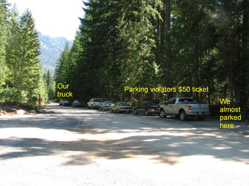 We
learned an important lesson while here. Look for and read all signs. As
we were preparing to get out of the truck, a young man walked up to the truck
and said, "if you park here you will get a ticket". We thanked him and
moved down the road a little.
We
learned an important lesson while here. Look for and read all signs. As
we were preparing to get out of the truck, a young man walked up to the truck
and said, "if you park here you will get a ticket". We thanked him and
moved down the road a little.
(We say 'look for' because the signs were parallel to the road, not facing
you.)
As we were walking back, he was placing $50 ($25 parking violation, $25
processing fee) tickets on three of the vehicles.
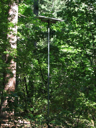
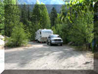
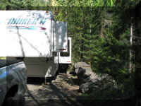
 We
returned down the road and drove through all of the campgrounds along
Icicle Road. We seldom pass a campground without turning in. For what they
offered, the rates seems high to us. Then, we remembered we were in a tourist
area. Because there was no electricity, they used a solar panel to
operate the drinking fountain pumps.
We
returned down the road and drove through all of the campgrounds along
Icicle Road. We seldom pass a campground without turning in. For what they
offered, the rates seems high to us. Then, we remembered we were in a tourist
area. Because there was no electricity, they used a solar panel to
operate the drinking fountain pumps.
 A
guy in one campground was chopping wood until Fred got his camera ready. He said
he was finished - a missed photo-op. A couple days later, we went back to the
campground to put trash in the dumpster. This time he was caught chopping wood.
A
guy in one campground was chopping wood until Fred got his camera ready. He said
he was finished - a missed photo-op. A couple days later, we went back to the
campground to put trash in the dumpster. This time he was caught chopping wood.
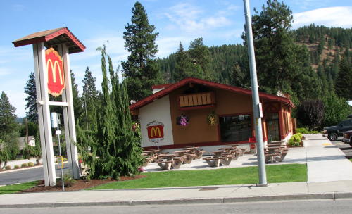
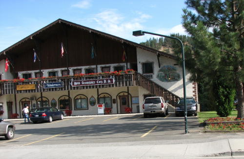
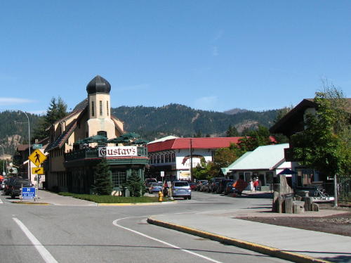
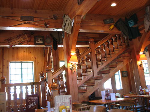
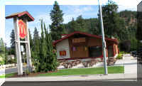
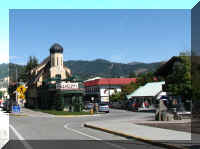
 Leavenworth,
Washington turned itself into a Bavarian village in the early 1960s to
capitalize on its scenic setting. Even the McDonalds was decked out in
Alpine attire.
Leavenworth,
Washington turned itself into a Bavarian village in the early 1960s to
capitalize on its scenic setting. Even the McDonalds was decked out in
Alpine attire.
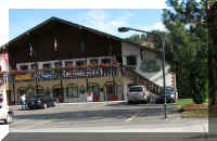
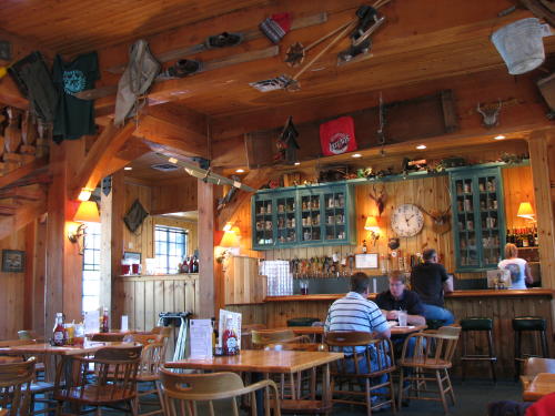
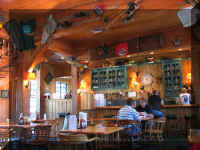
We had lunch at this place - the Reuben sandwich was delicious.
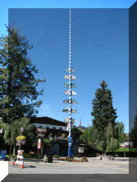
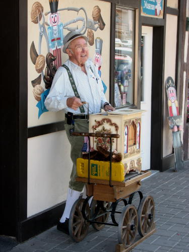
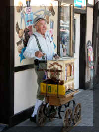 They
had a May Pole and an organ grinder.
They
had a May Pole and an organ grinder.
Unfortunately, his monkey was a stuffed toy just laying on his back on the
cart.
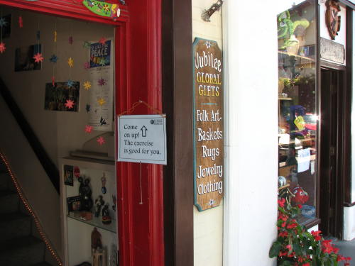
This second floor retailer suggest we needed exercise.
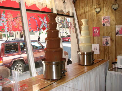
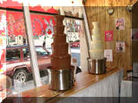
This one had the chocolate flowing.
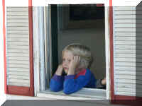
 We stopped at the post office to buy postcard stamps. This boy was peering
out the window watching the older boys skateboard up the curb and jump their
bikes down the curb.
We stopped at the post office to buy postcard stamps. This boy was peering
out the window watching the older boys skateboard up the curb and jump their
bikes down the curb.
We updated our Web site while we were in the post office parking lot. While doing it, Fred
peered out the truck window a couple times watching the boys. Soon, one of the
young boys approached the truck and said, " Sorry sir. We can stop if you
would like to back out of your spot". How, polite
and courteous.
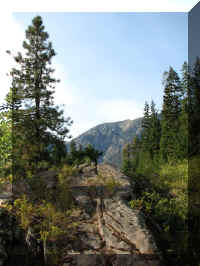
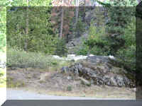
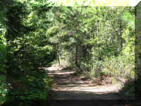
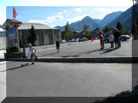
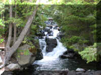
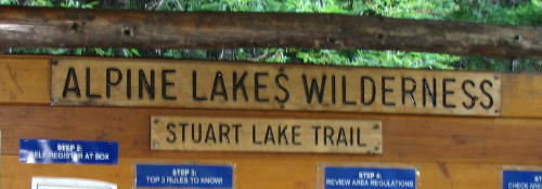
 We
found a road in one of the local campgrounds that led to Stuart Lake. Anyone
that knows us well would expect us to take it. When Michelle was young she used
to call it 'getting lost'. Now with GPS, we are confident we will not 'get
lost'. It was a beautiful 3.4 mile ride up the mountain to a trail head to Stuart Lake.
We
found a road in one of the local campgrounds that led to Stuart Lake. Anyone
that knows us well would expect us to take it. When Michelle was young she used
to call it 'getting lost'. Now with GPS, we are confident we will not 'get
lost'. It was a beautiful 3.4 mile ride up the mountain to a trail head to Stuart Lake.
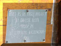
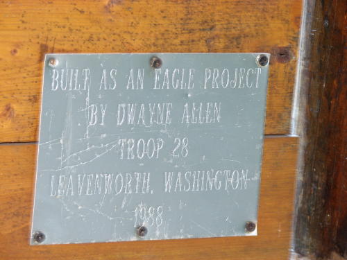
This sign board was built as an Eagle Scout
project.
It is always nice to get home from a day of sightseeing. Especially, when
these views await you.
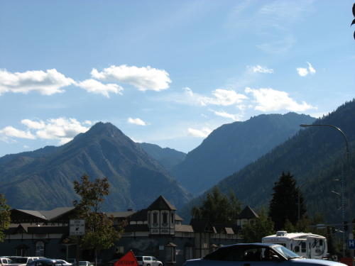
The next day we headed for Seattle.
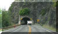
Stevens Pass . . . a climb up and then a faster descent on the other side.
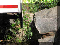
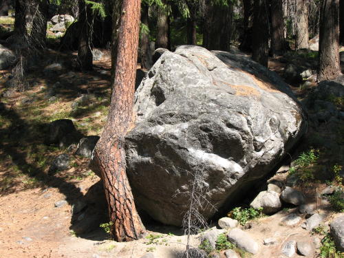
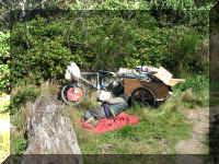
Along the way we saw this boulder biting a tree.
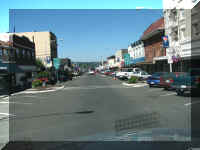
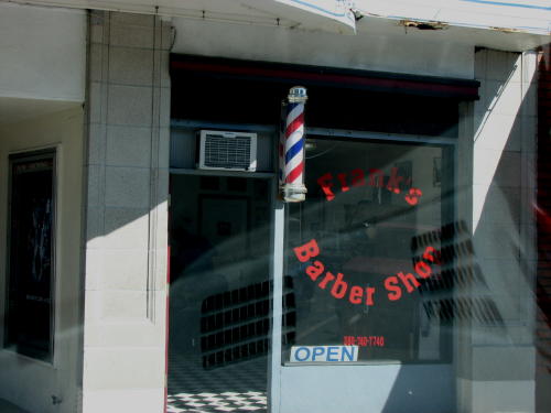
 We left Seattle and headed for a city park in Chehalis, WA.
It was a nice kittle town. However, we had to ask three people before someone
knew where the local barber shop was - it even had a barber pole.
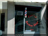
We left Seattle and headed for a city park in Chehalis, WA.
It was a nice kittle town. However, we had to ask three people before someone
knew where the local barber shop was - it even had a barber pole.
By taking day trips from our campsite in Chehalis,
we avoided
towing the HHII to the attractions we wanted to see in the area. We wanted
to see the Pacific Ocean, Mount Rainier National Park - 2008
and Mount St. Helens National Volcanic Monument - 2008.
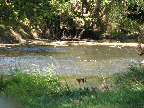
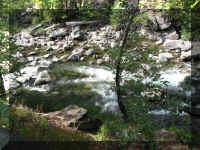
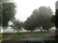
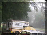
One morning it was foggy when we got up. But, we could still see the small
river running behind our campsite.
How lucky we are. The truck camper two campsites from us is occupied by a
couple and two children. Each morning she drives her husband to work and the
children to school. Because of the seven day limit parking in this campground,
they left for a day and returned for another seven days. We, of course, don't
know any details but it appears to be a very unfortunate situation.
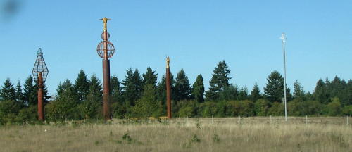
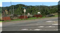
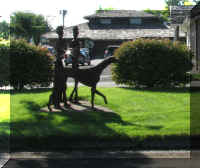
We passed by the 'sculpture gardens' on I-5 several times.
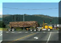
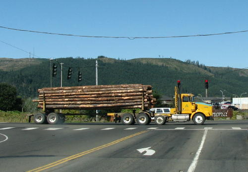
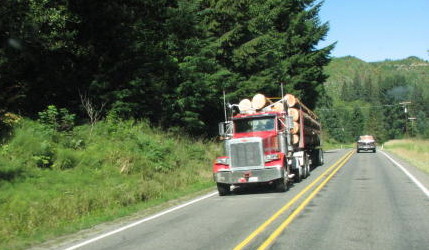
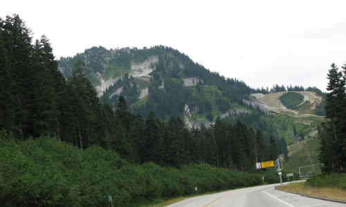
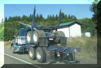
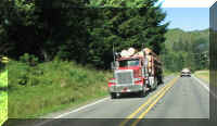 On
our ride to Mount Rainier logging truck traffic was heavy - going both
directions.
On
our ride to Mount Rainier logging truck traffic was heavy - going both
directions.
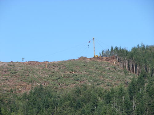
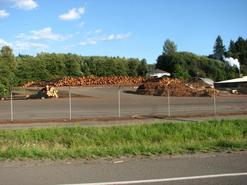
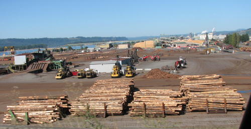
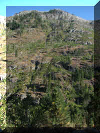
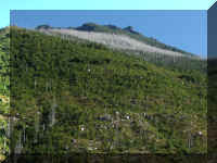
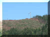
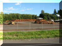
Evidence of logging could be seen everywhere.
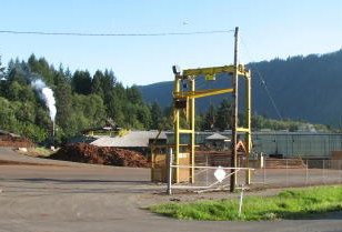
Then we saw where many of the were going. A big industry in
Morton is lumber.
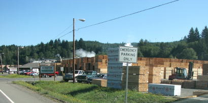
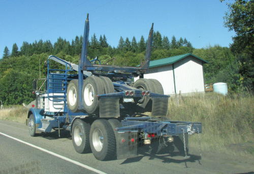
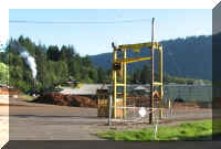 After
the logs are weighed and removed from the truck, the rear portion of the truck
is stacked on the front part of the truck using this lift. The truck is then ready to go pick up
more logs.
After
the logs are weighed and removed from the truck, the rear portion of the truck
is stacked on the front part of the truck using this lift. The truck is then ready to go pick up
more logs.
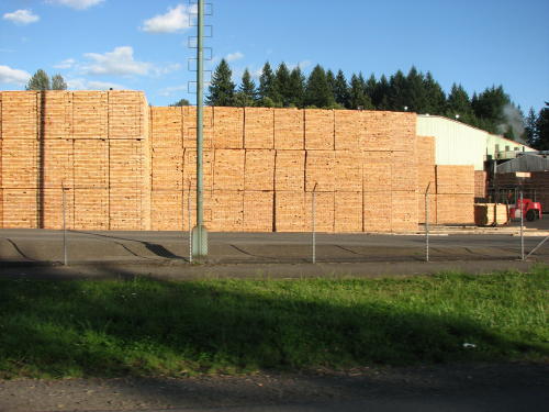
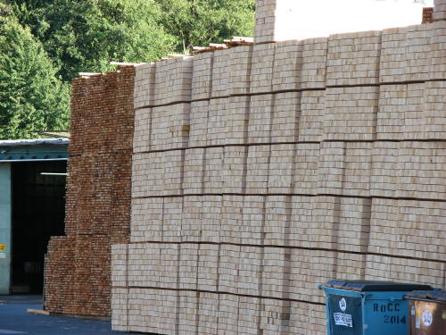
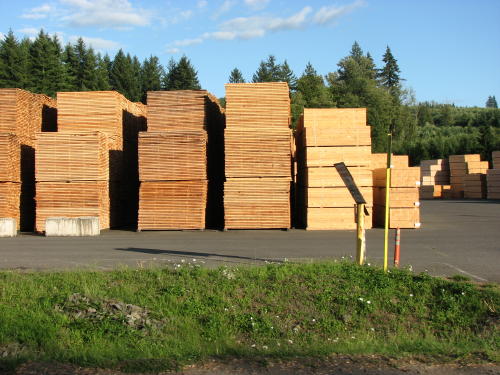
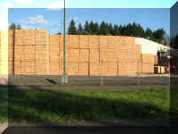
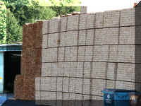
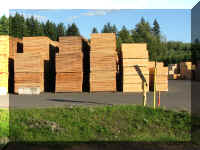
From log to lumber - so many 2x4s.
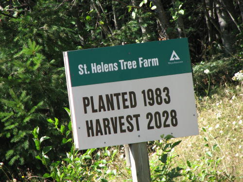
As we all know timber is a
renewable resource. Driving down the road we saw many signs telling us about the
timber in front of us. Some gave us the years the timber was planted, fertilized
and/or trimmed. Others, like this one, show a 25 years plan.
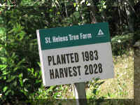
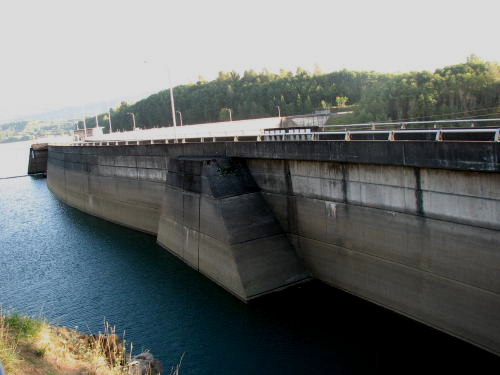
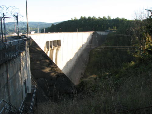
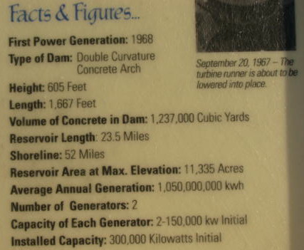
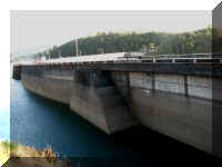
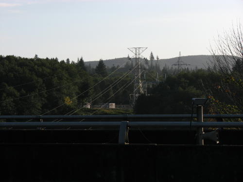
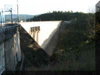
Mossyrock Dam . . .
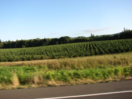
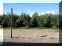
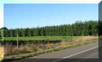
Christmas tree farms were also popular in the area.
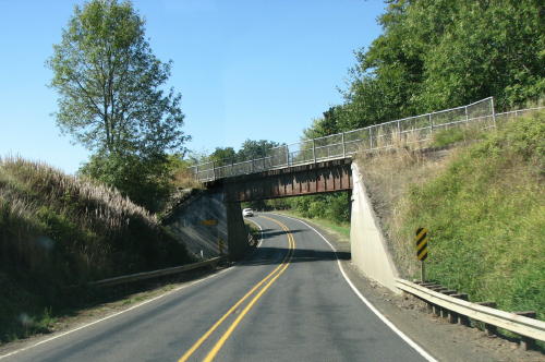
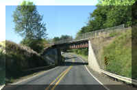
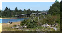
Just a little trestle . . .
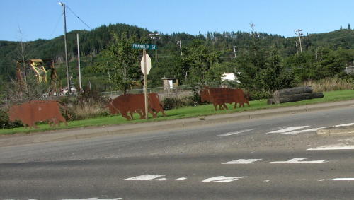
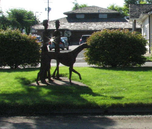
It appears the proper name for this town is "Raymond on the Willapa".
The waterway connects to the Pacific Ocean.
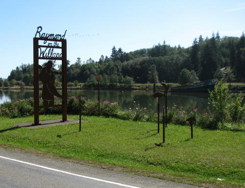
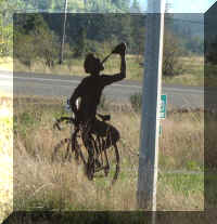
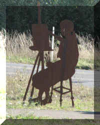
Metal silhouette sculptures were positioned throughout the city.
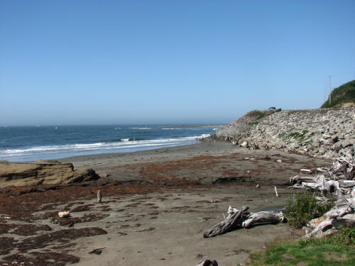
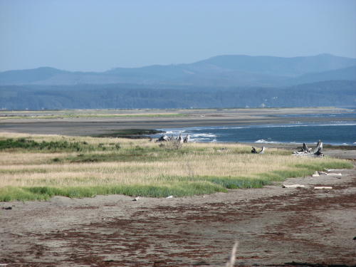
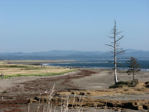
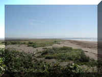
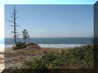
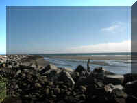
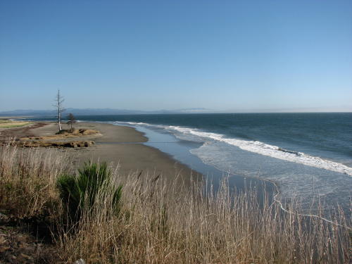
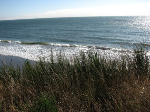
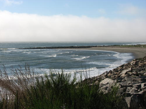
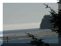
Heading north from Raymond toward Grayland the shoreline was beautiful.
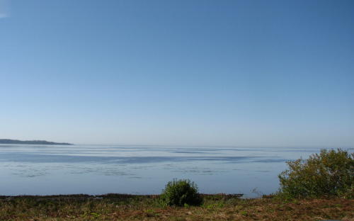
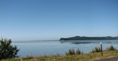
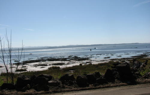
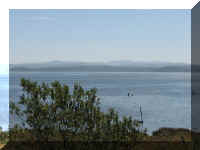
We stopped here to take in the view slowly.
We hoped we had not bothered this guy reading a book.
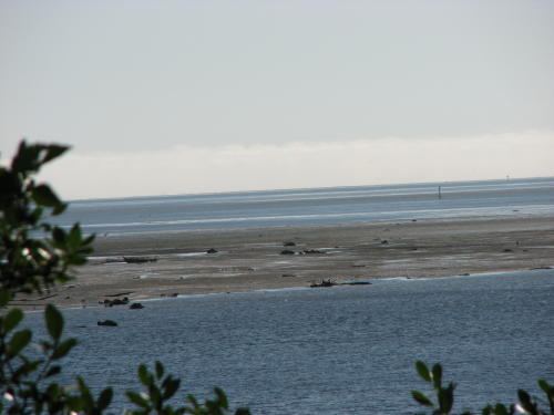
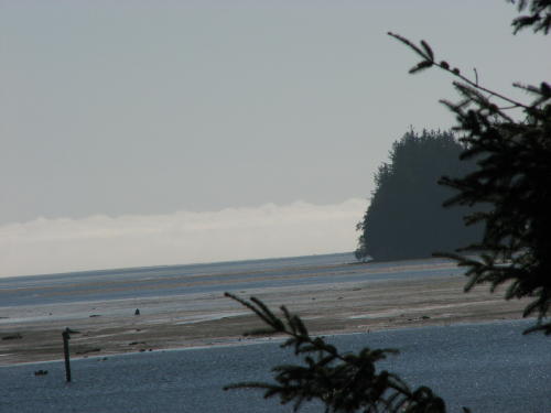
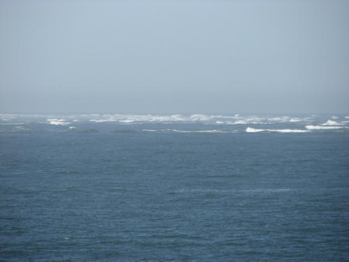
The map showed a shoal just off shore causing the wave action.
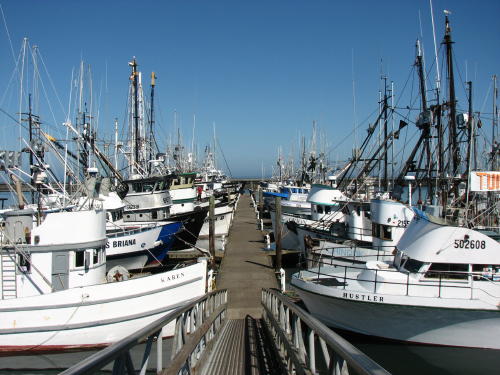
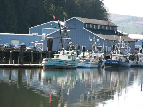
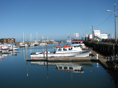
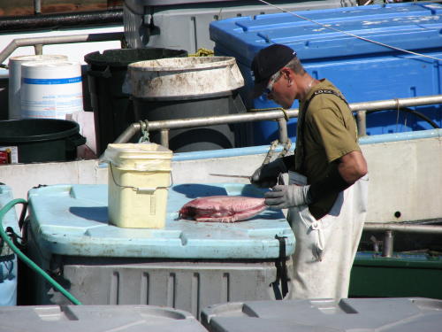
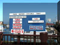
Our destination was Westport, WA. Upon arrival, the first order of business was lunch. We
ended up having lunch at a seafood and chowder shop. The seafood chowder was
fantastic. Afterwards we walked some of the marina walkways.
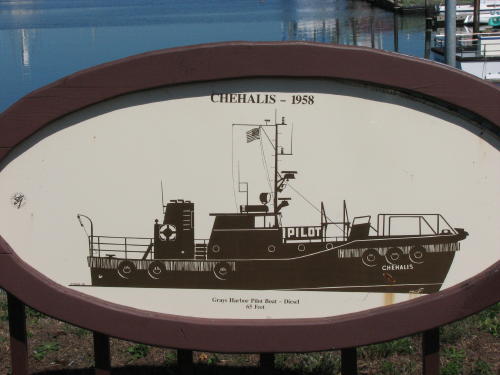
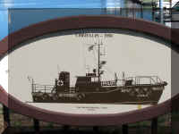 This
plaque of a boat named Chehalis caught our eye. What came first, the 'chicken'
or the 'egg'. In this case, we are sure the city is older than the boat.
This
plaque of a boat named Chehalis caught our eye. What came first, the 'chicken'
or the 'egg'. In this case, we are sure the city is older than the boat.
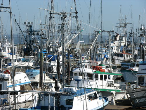
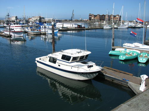
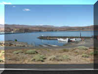
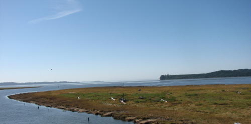
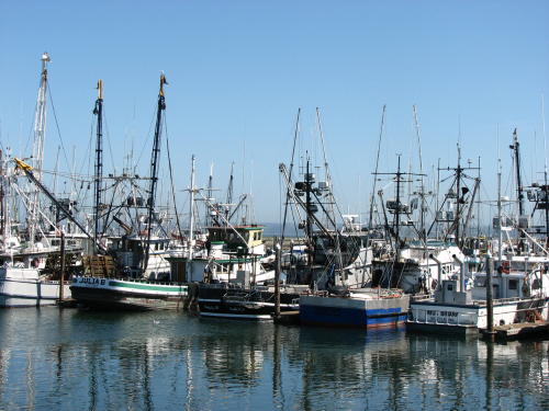
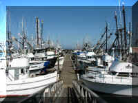
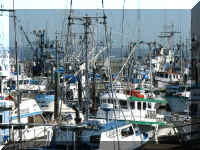
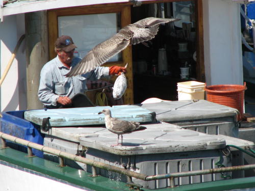
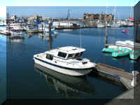
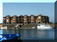
Westport has a busy marina.
Is this boat pulling a trailer?
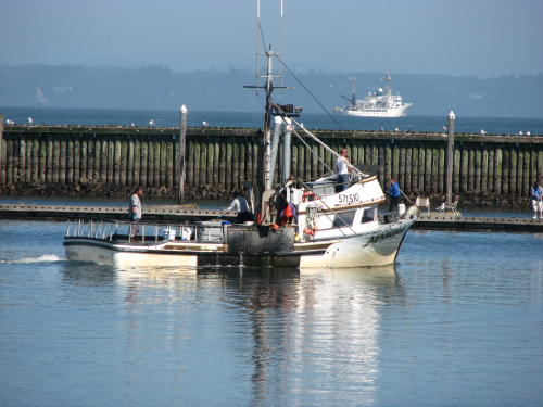
The seagulls knew where and when to show up.
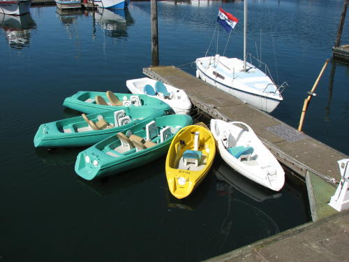
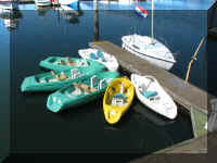 We choose not to rent a boat and
pedal around the marina.
We choose not to rent a boat and
pedal around the marina.
 A women we talked to in a gift shop at the end of the pier was not happy that
developers had discovered their harbor.
A women we talked to in a gift shop at the end of the pier was not happy that
developers had discovered their harbor.
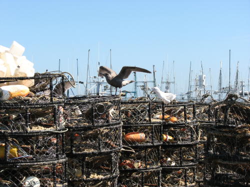
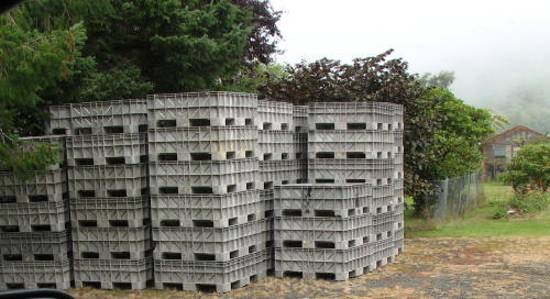
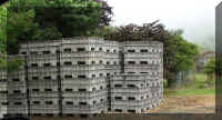
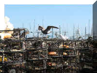 The crab traps are round and have a metal frame. I guess the seagulls hoped
they were not empty.
The crab traps are round and have a metal frame. I guess the seagulls hoped
they were not empty.
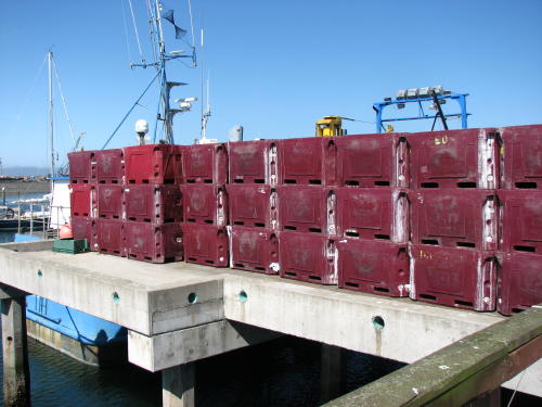
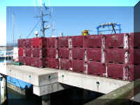 These bins smelled so bad, it was difficult to walk near them. One woman held
her nose and speeded up her gait to get away from them.
These bins smelled so bad, it was difficult to walk near them. One woman held
her nose and speeded up her gait to get away from them.
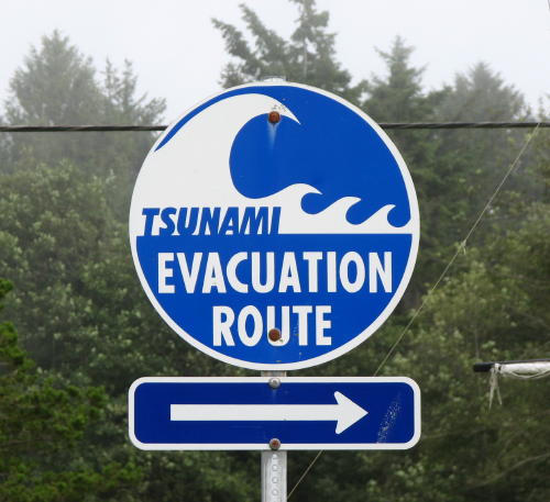
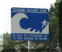
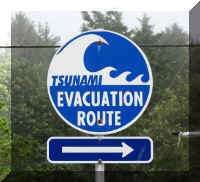
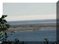
Can you saw "foggy"? How appropriate for a lighthouse.
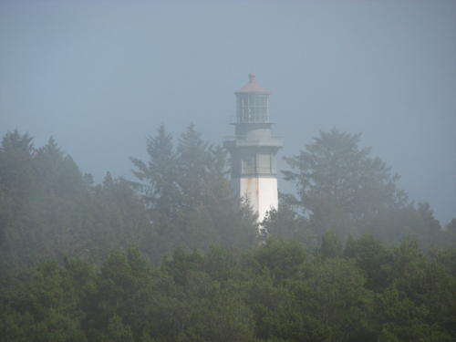
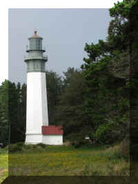 Grays Harbor Light Station
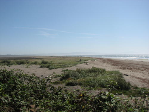
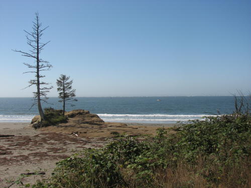
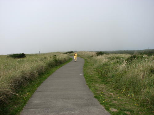
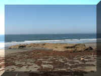
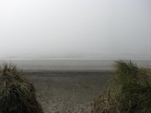
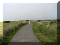
We were off to our first look at the Pacific Ocean.
We took a path off the asphalt sidewalk, and this is what we
saw.
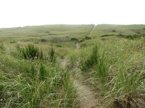
The Lighthouse Trail is a 1.5 mile asphalt sidewalk started in the state park
and ended at the marina in town.
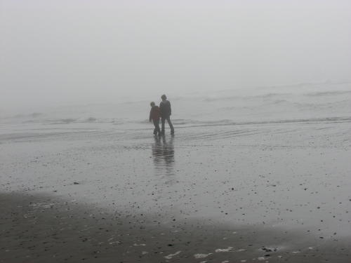
The fog did not stop us or another couple strolling along the shore.
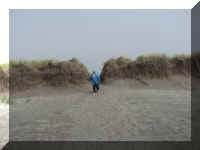
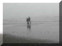
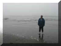
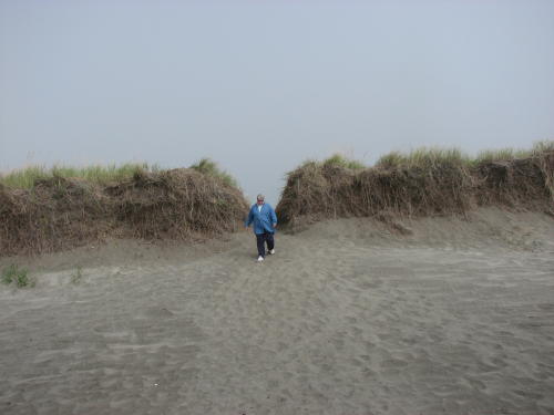
 Steve has been asking Mary Lou if she had been in the Pacific Ocean yet.
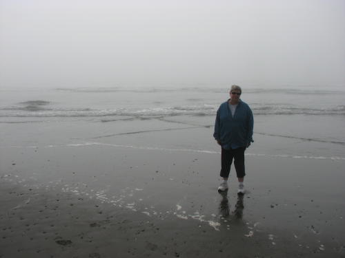
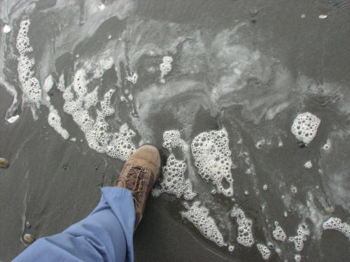
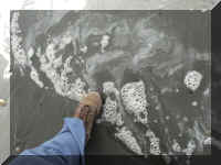
Yes,
we have Steve! Almost to the top of the soles of our foot wear.
This store had neat decorations.
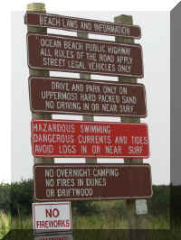
Some more warm and fuzzy signs . . .
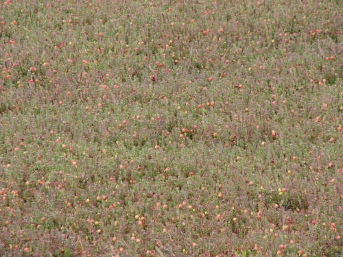
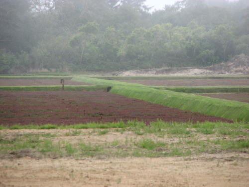
 The
Grayland area has cranberry bogs. They don't look anything like the cranberry
bog we see on a television advertisement. Mary Lou found out that once planted
and carefully tended the vines will product fruit for many years. Vines 75 - 100
years old are not uncommon. Cranberries grow on low-lying vines. Growers flood
the cranberry beds to harvest the berries. To read more, go to
www.oregoncranberry.net.
The
Grayland area has cranberry bogs. They don't look anything like the cranberry
bog we see on a television advertisement. Mary Lou found out that once planted
and carefully tended the vines will product fruit for many years. Vines 75 - 100
years old are not uncommon. Cranberries grow on low-lying vines. Growers flood
the cranberry beds to harvest the berries. To read more, go to
www.oregoncranberry.net.
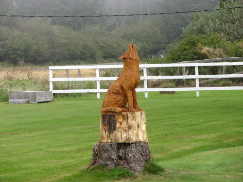
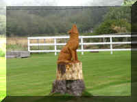 This carving was in a front yard.
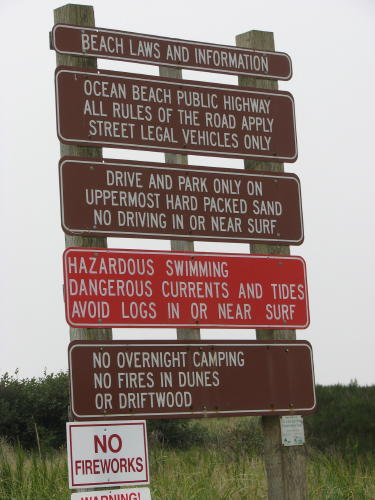
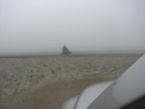
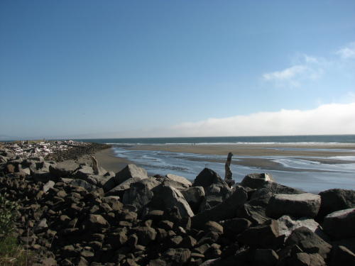
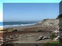
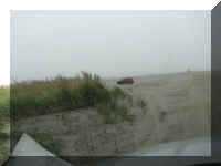
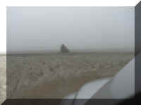
We took a short drive on the beach.
 On
our return trip, we stopped by the shoreline we enjoyed so much on the way
up.
On
our return trip, we stopped by the shoreline we enjoyed so much on the way
up.
The fog we experienced in Westport was approaching fast.
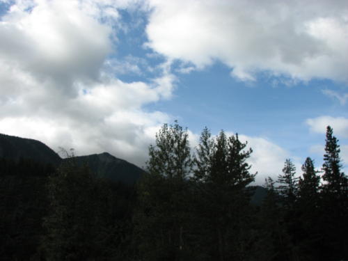
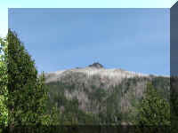
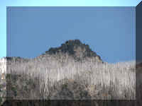
Another look at Mount Rainier . . .
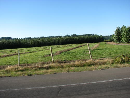
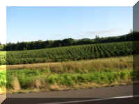
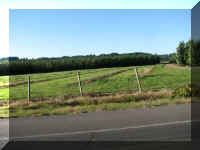
Something new, a popular tree plantation . . .
We only had about 50 miles to drive on our last day in Washington before
entering Oregon.
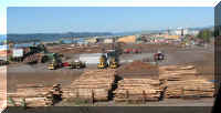
 As
we approached the Columbia River a large logging operation was on both sides of
the river.
As
we approached the Columbia River a large logging operation was on both sides of
the river.
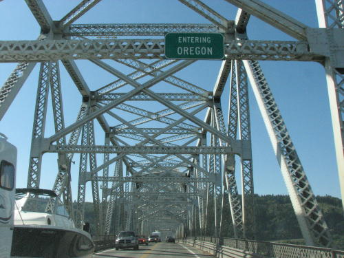
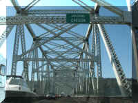
Halfway across the bridge we were in Oregon.
As we climbed the hill in Oregon along the Columbia River, we took
advantage of a pull-off for our last look back at Washington.
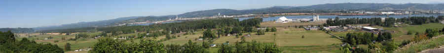
Mary Lou pointed out that we could also see . . .
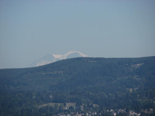
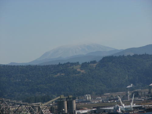
Mount
Rainier
and
Mount St. Helens
As we leave Washington, we remember the many Washington people
who told us how much we would enjoy the Oregon coast line. We are looking
forward to it.
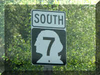
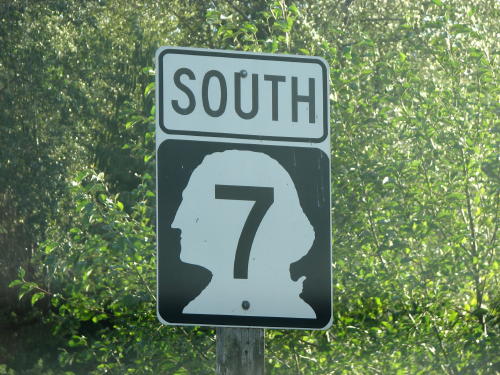
We will miss the road signs with
the silhouette of our first President.
GO
BACK TO > > > Pacific Northwest - 2008
Top of Page