
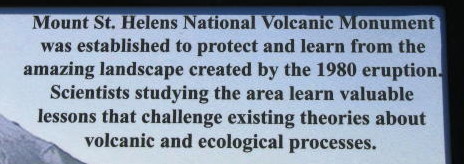
Mount St. Helens National Volcanic
Monument - 2008 . . .
during our travels in the
Pacific Northwest
Updated: 11/30/08
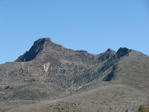
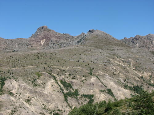
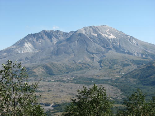
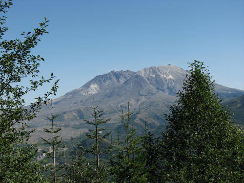
We have posted several of the views of Mount St. Helens we saw as we drove the 52 miles towards it. Only at the Johnston Ridge Observatory can you see into the crater - and, then only partially
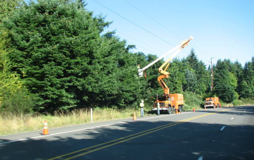
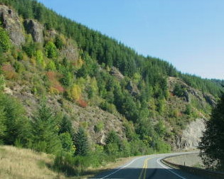
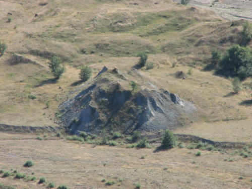
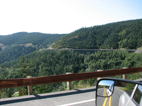
Along the way we also saw more tree trimmers, a little color change and mini waterfalls.
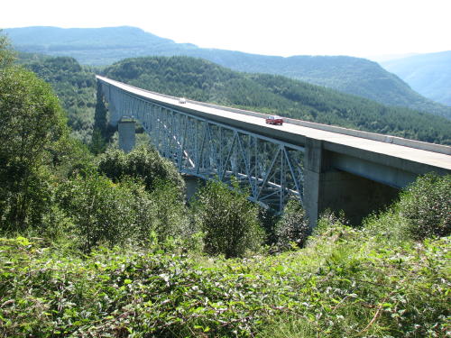
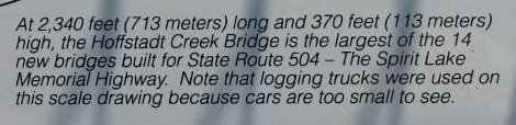
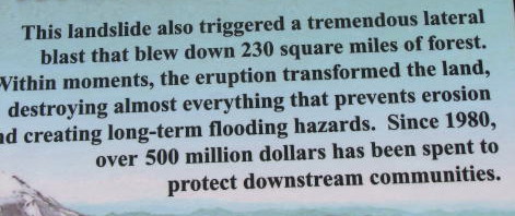
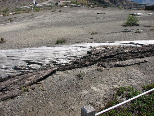
This bridge was at the edge of the blast zone.

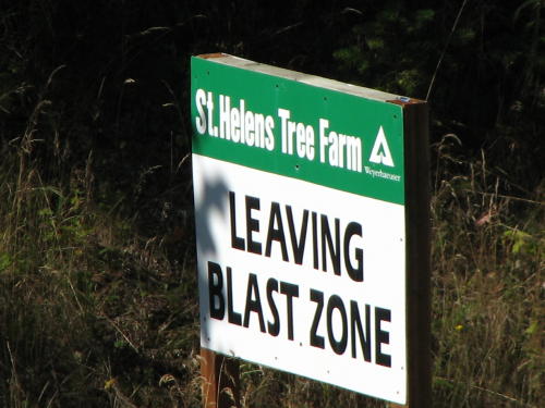
 The
information boards at the the bridge provided good insight into both the bridge,
the Mount St. Helens eruption and the recovery.
The
information boards at the the bridge provided good insight into both the bridge,
the Mount St. Helens eruption and the recovery.
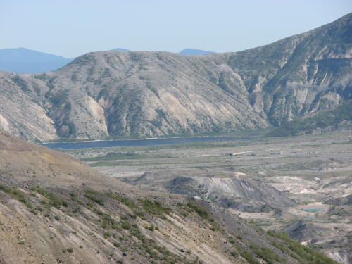
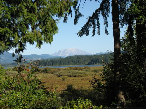
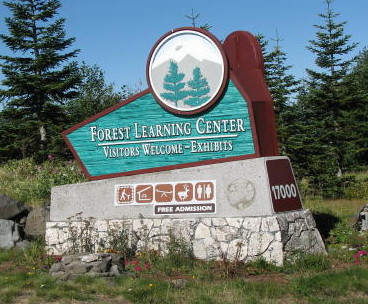 The
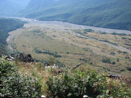
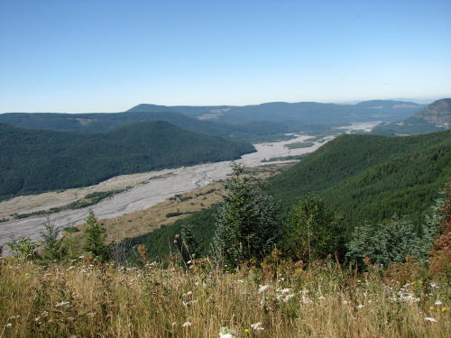
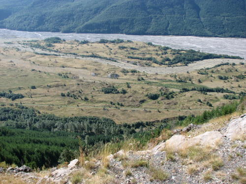
Forest Learning Center overlook provided a look into a valley. The volunteer interpreter
had the spotting scopes trained on elk at two places in the valley. To help
control erosion following the eruption, 10,000 pounds of grass and rye seed were
spread over this area. The elk moved down from the high country and established
a presence here due to the availability of food and water.
The
Forest Learning Center overlook provided a look into a valley. The volunteer interpreter
had the spotting scopes trained on elk at two places in the valley. To help
control erosion following the eruption, 10,000 pounds of grass and rye seed were
spread over this area. The elk moved down from the high country and established
a presence here due to the availability of food and water.
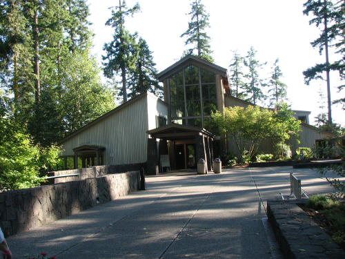
The learning center is operated by Weyerhaeuser. We did not go inside to explore the exhibits. I suspect they would have been interesting but our main interest this day was the volcano.

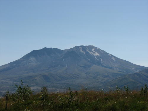
Yes, that is Mount St. Helen in the left photograph.

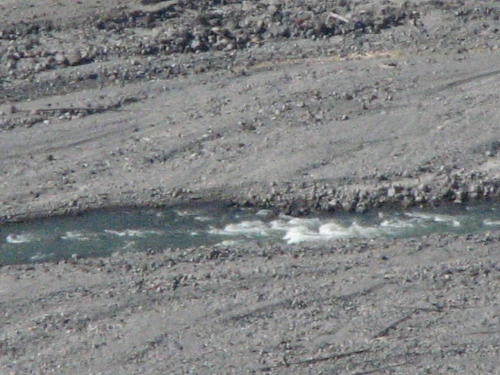
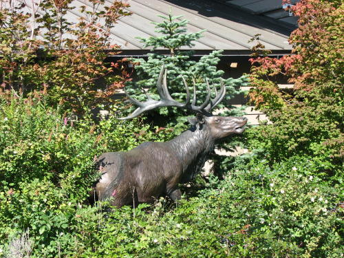
Fred could not find the elk with the camera so settled for the 'fake' one. While the river was a long distance away, you could hear it roar.
The fact that an overlook was closed for repair did not bother us or several others.
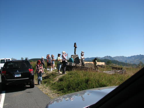
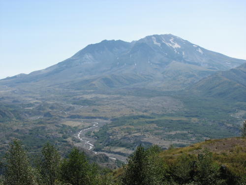
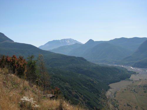
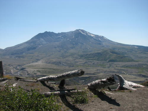
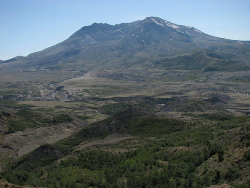
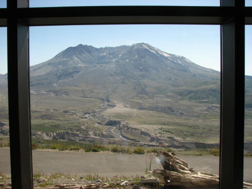
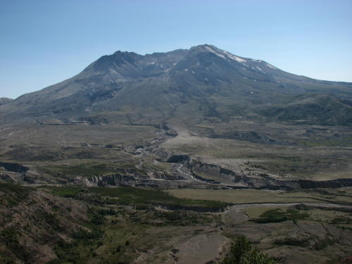
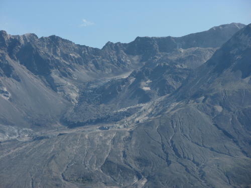
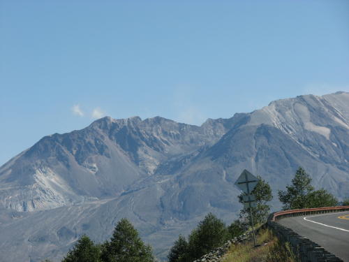
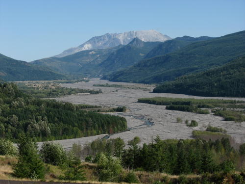
The Castle Lake pull-out gave us our first views of the crater.
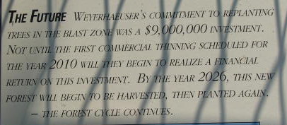
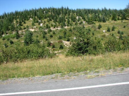
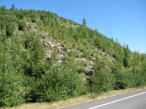
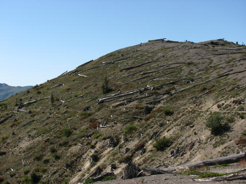
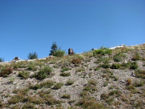
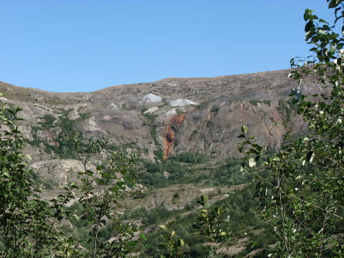
The area within the Blast Zone is being allowed to recover naturally. Scientist are studying the re-growth process.


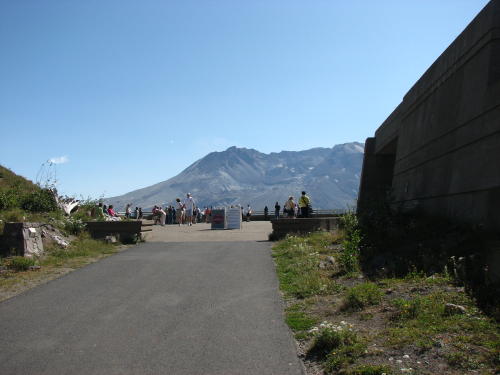
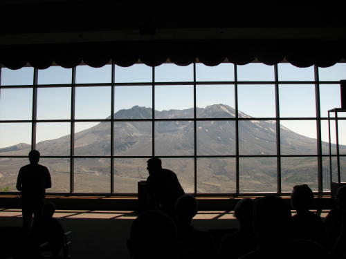
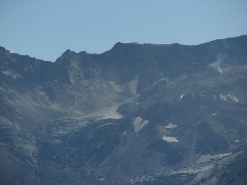
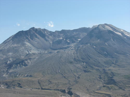
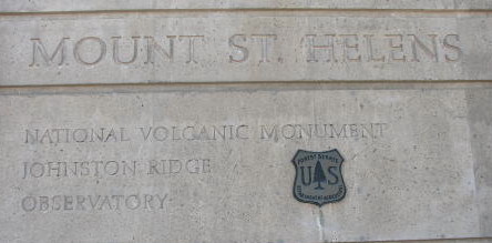 At
the Johnston Ridge Observatory the walkway led to a look into the crater.
At
the Johnston Ridge Observatory the walkway led to a look into the crater.
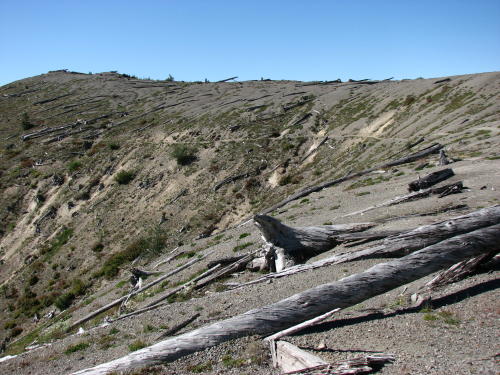
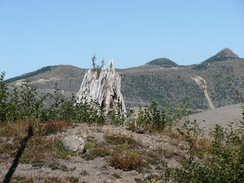
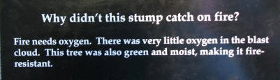
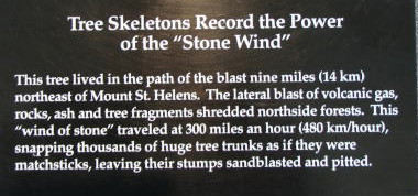
The terrain on Johnston Ridge showed the trauma from the volcanic event. Tree trunks were everywhere.
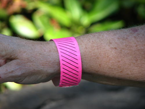 This
was the only place a fee was charged. If you had a Federal Pass, you got this pretty
pink wristband. People who paid the entrance fee of $6 got green wristbands.
This
was the only place a fee was charged. If you had a Federal Pass, you got this pretty
pink wristband. People who paid the entrance fee of $6 got green wristbands.
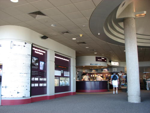
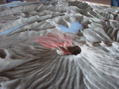
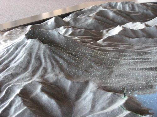
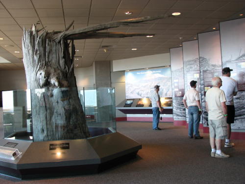
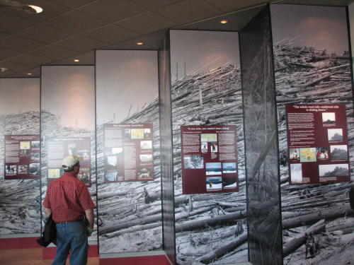
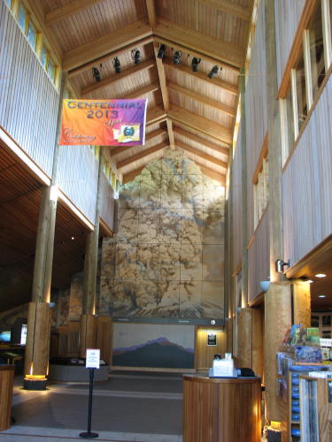
The exhibits in the building provided a lot of information.
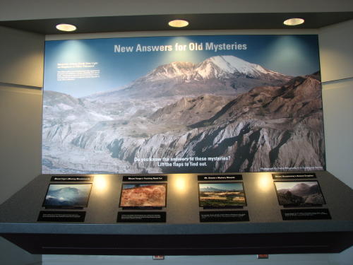
One display explained events during the eruption including the various lava flows and mud slides using a multitude of tiny colored bulbs. When all the lights were lit at the end of the audio dialog, the number of lights and colors was very impressive.
The video presentation brought back memories of a video presentation at Portage Glacier during our Alaskan trip. We knew that behind the red curtain and the dropdown screen was a view of Mount St. Helens. The 16 minute video presentation re-creates the eruption.

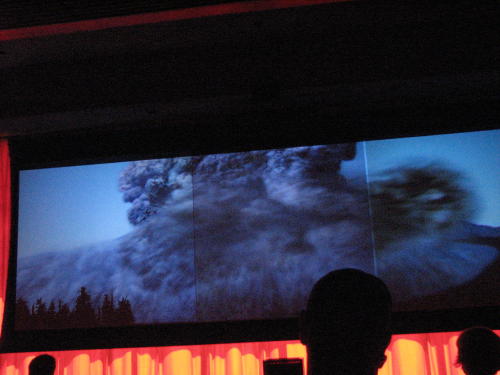
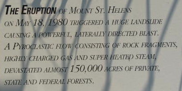
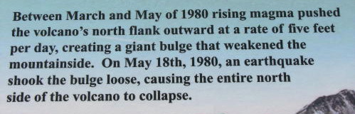
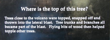
On May 18, 1980 at 8:32a.m., a massive explosion blew the top 1,313 feet and much of the bulging north face of Mount St. Helen away. It shot of dense plume of smoke and ash 80,000 feet into the air and released a mile-wide avalanche.
Another display . . .
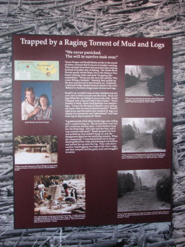
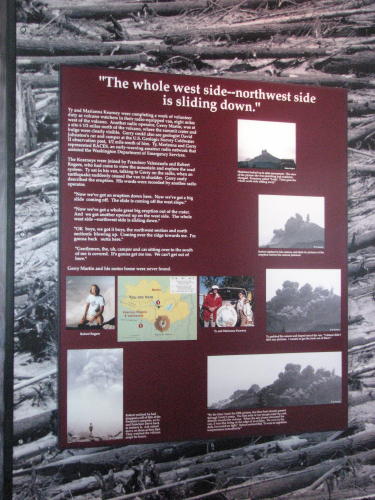 One
exhibit told the stories of many of the survivors that were in the area at the
time of the eruption.
One
exhibit told the stories of many of the survivors that were in the area at the
time of the eruption.
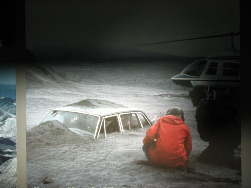
No all survived. A man and his motorhome have never been found.
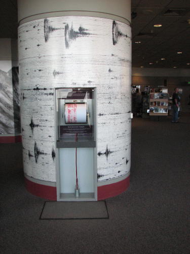
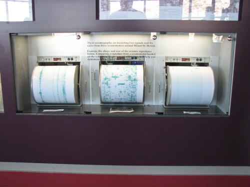 Three
seismographs are positioned on Mount St. Helen to monitor it continuously.
Three
seismographs are positioned on Mount St. Helen to monitor it continuously.
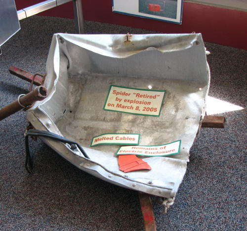
This one didn't make it. 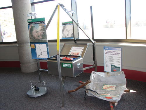
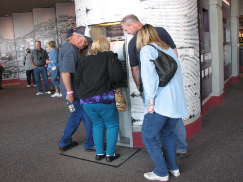
Visitors could measure their own 'earthquake' by jumping on the panel in the floor in front of a seismograph.
Back outside to Mount St. Helens . . .
 1986
to 2994 - Snow and ice accumulated in the crater forming North America's
youngest glacier.
1986
to 2994 - Snow and ice accumulated in the crater forming North America's
youngest glacier.
October 2004 - Eruptive activity resumed with more than 1000 small earthquakes per day and small steam and ash eruptions. A new lava dome rose thought the Crater Glacier at a rate of one dump truck load per second.
2004 to 2008 - The quiet extrusion of mostly gas-free, semi-solid lava continued until February, 2008. During the 3-year long eruption, a total of seven lava spines were extruded, filling the south crater with a 1,300 foot tall pile of fragmented rock - taller than the Empire State Building and 2/3 mile by 1/3 mile wide.
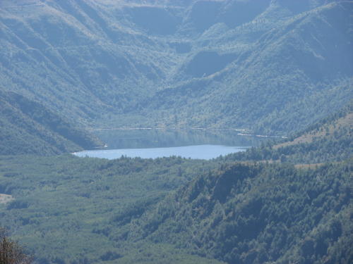
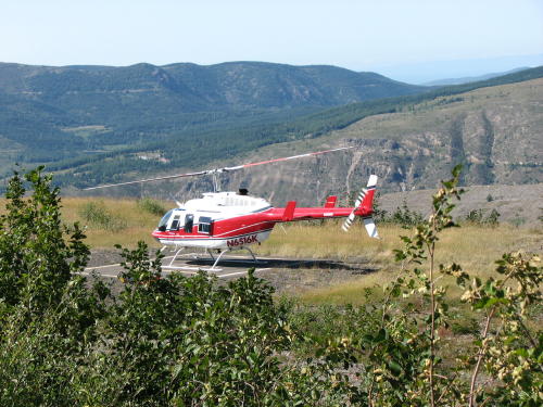
Spirit Lake
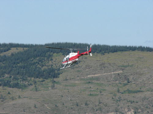
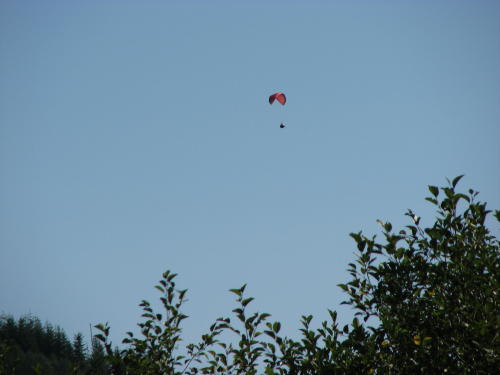
Helicopter tours were available.
It was time to head home.
Just before we got back to I-5, we stopped at a visitor center we passed on the way to Mount St. Helens. It was only ten minutes before closing time - not much time to look around. Plus, it was Friday and the staff wanted to go home on time.


Mount St. Helens was a very interesting place to visit. A place we remember from the newscasts. We made our visit in a day. More time could have been spent at each of the visitor centers.
GO BACK TO > > > Pacific Northwest - 2008