
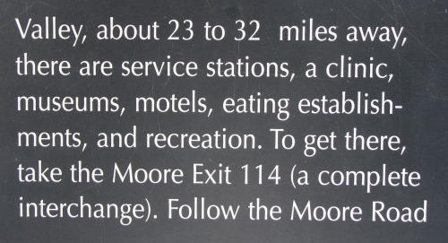
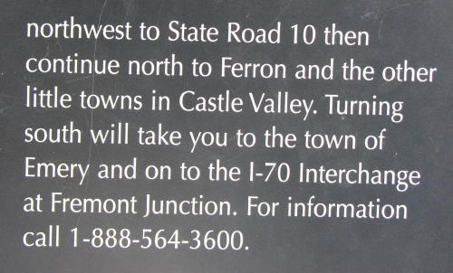
On the road in Utah - 2008 . . .
on our
route from the Pacific Northwest
Updated: 12/18/08
On the road to Zion . . . On the road to Bryce . . . On_the_road_to_Arches_._._._ On the road to Colorado . . .
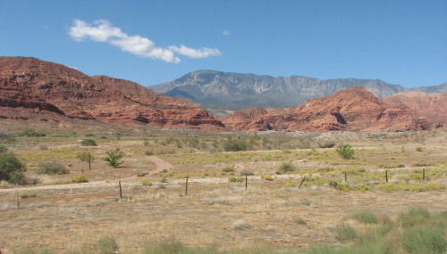
If you visited our On the road in Nevada - 2008 page, you know we were uncomfortably towing our 'spareless' HHII into Utah. Crossing the state line from Nevada into Utah, we did not notice any change in terrain. It was still dry and reasonably flat. Our first Utah destination was the a tire dealer in Beryl, Utah.
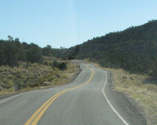
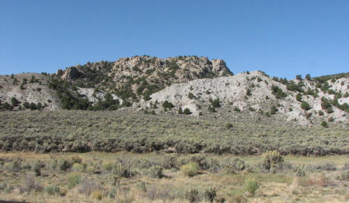
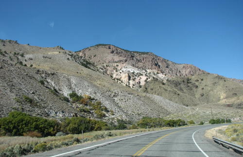
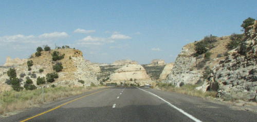
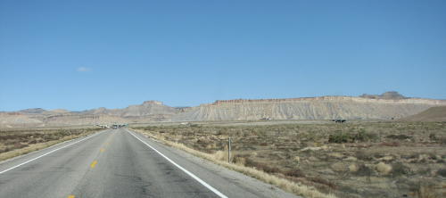
 A roller coaster roads . . .
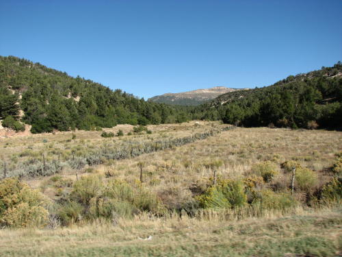
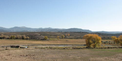
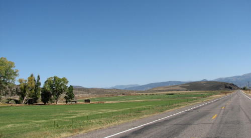
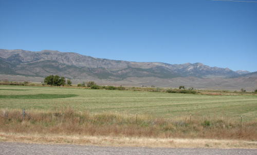
 Where
irrigation was used, the fields were green.
Where
irrigation was used, the fields were green.
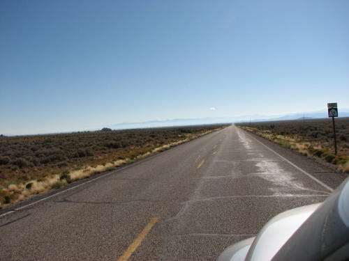
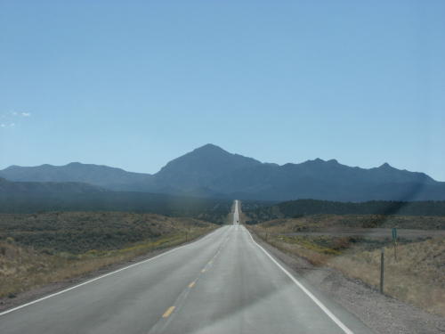
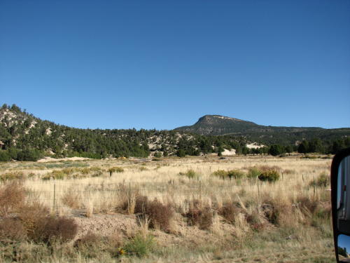
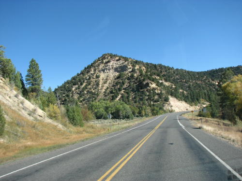
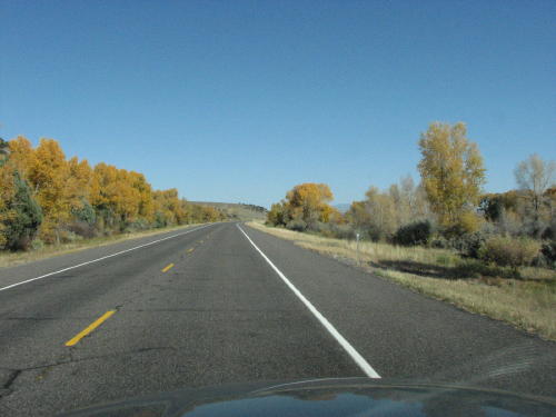
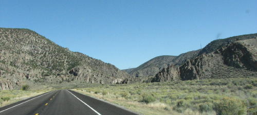
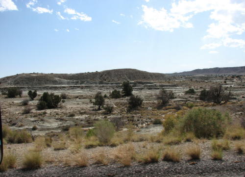
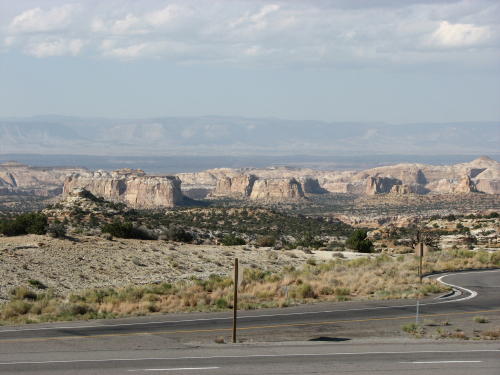
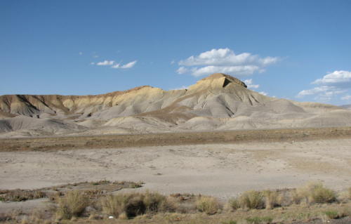
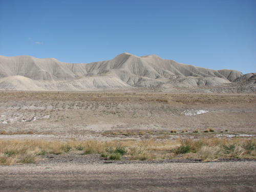
The road, at times, stretched in front of us forever. But, it was a beautiful drive.


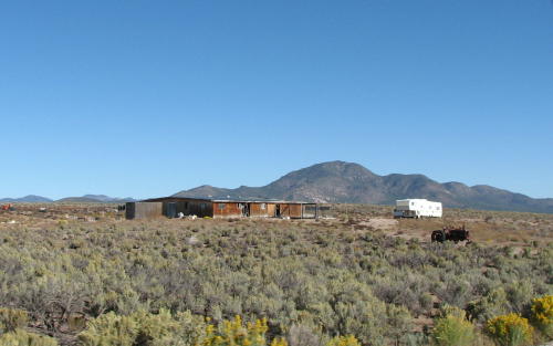
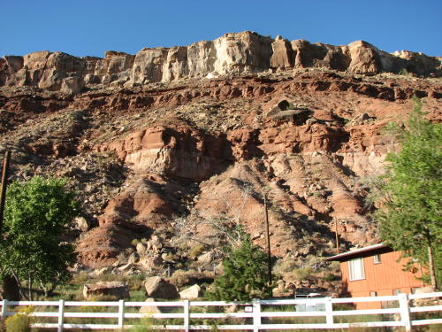
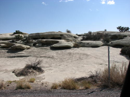
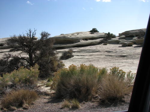
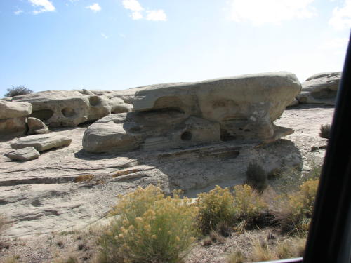
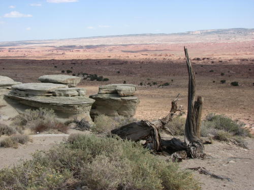
An interesting backyard . . .
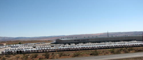
Check out all the box trailers at this Wal-Mart distribution center . . .

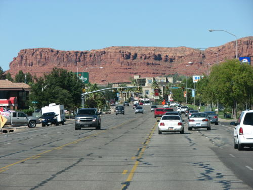 < St. George - the tire search ended here.

Another interesting backyard . . .
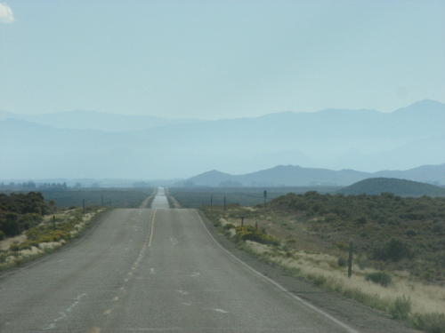
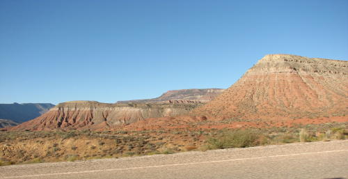
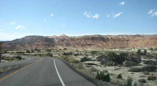
The road returning from St. George . . .


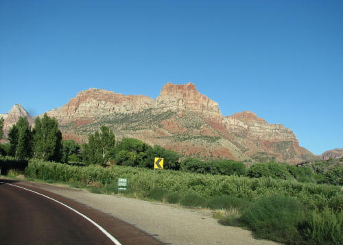
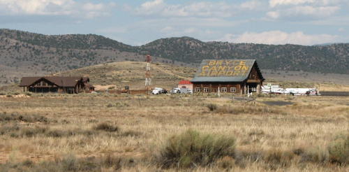
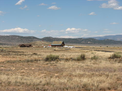
We arrived at Zion National Park late in the afternoon.
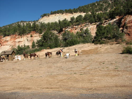
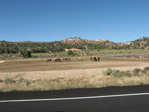
The grass is always greener on the other side of the fence.
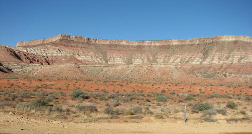
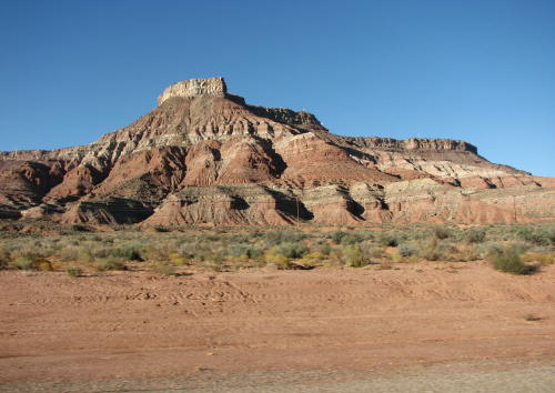
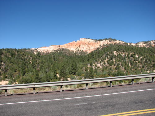
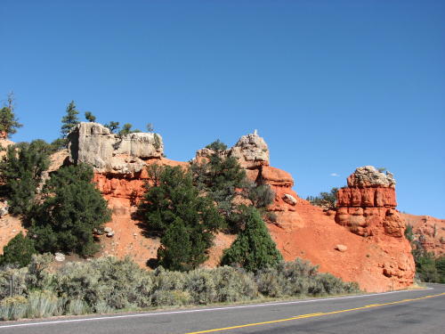
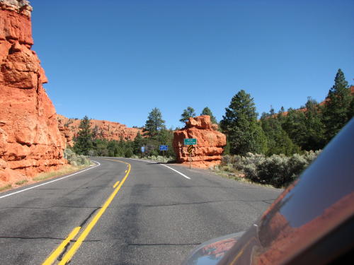
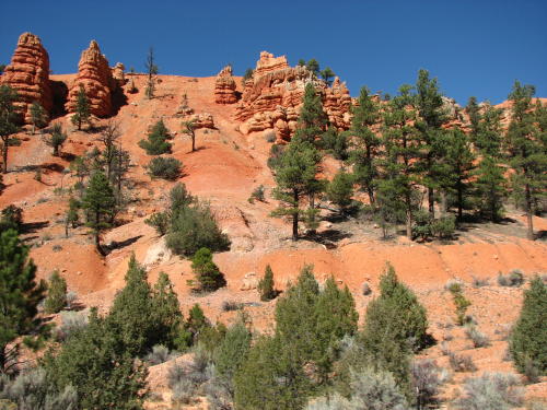
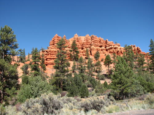
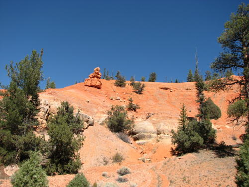
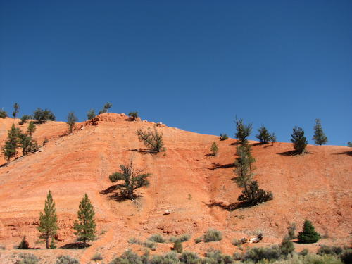
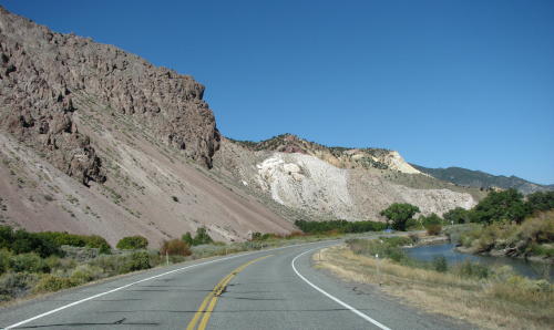
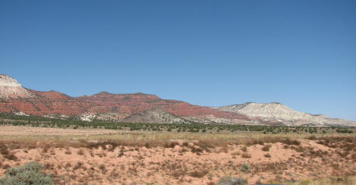
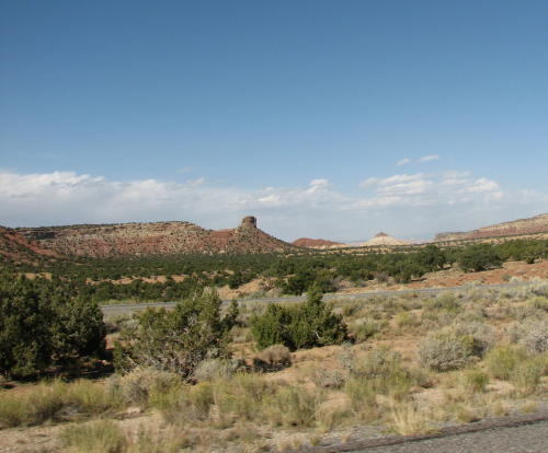
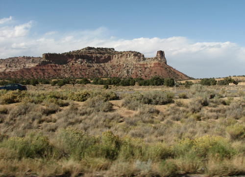
Driving toward our campground a tinge of red could be seen. Leaving the campground, driving toward Bryce Canyon National Park red was the color.

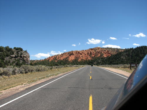
Red Rock Canyon . . .


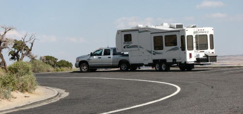
Everyone wants a photograph of their RV at scenic locations.
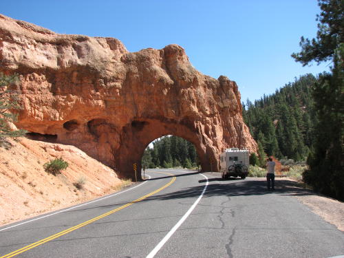
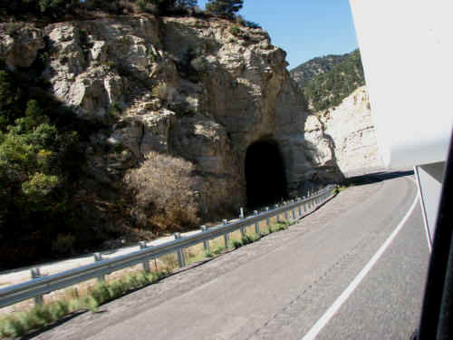
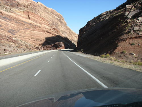
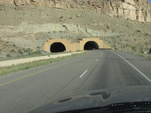
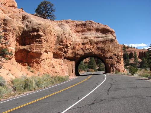 < A second tunnel . . .

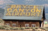
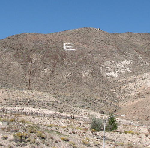
This may not be an 'international' airport.
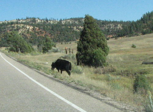
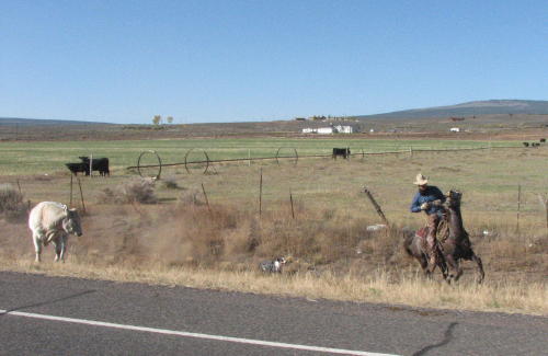
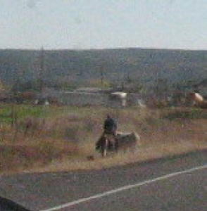
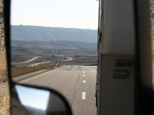
Sometimes your driving causes you to almost miss a great photo op. This cowboy was rounding up a cow that wandered outside the fence. Getting the camera in operation almost took too long for photographs. The first photograph was made over Fred's shoulder. The other two were made using the truck's mirror. The quality is not good but they are consistent with our desire to tell a story as well as post photograph.

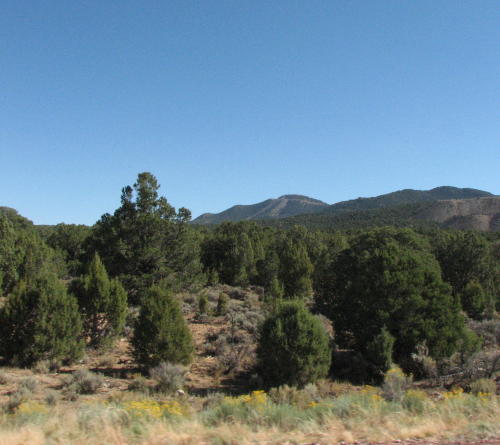
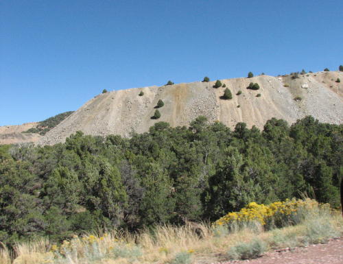
From flat green fields . . .
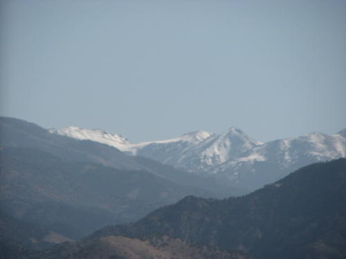
. . . to snow capped mountains . . .
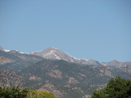
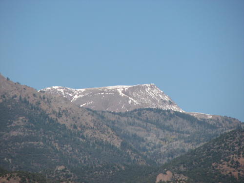
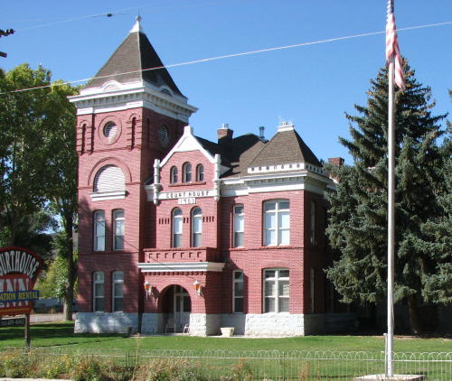
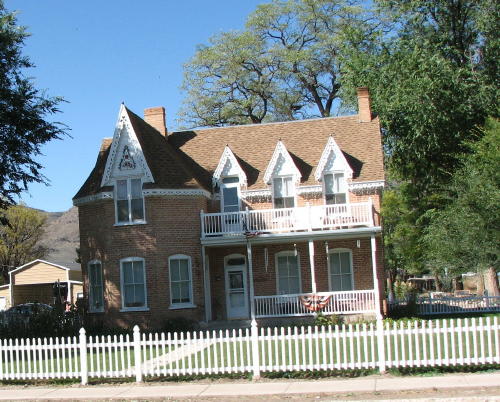
. . . to interesting buildings, the ride offered a variety of views.
Then, we started seeing the Sevier River.
 Near Elsinore . . .
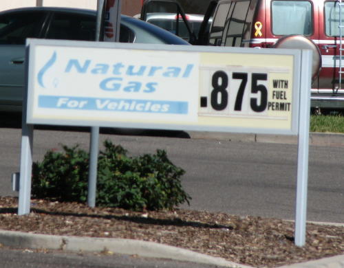 We
have seen many signs but this is the first one advertising natural gas for
vehicles.
We
have seen many signs but this is the first one advertising natural gas for
vehicles.
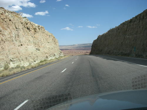
In order to post some of the great views we have seen, many times we crop the truck's door frame out of a photograph. This photograph of a tunnel made the cut, door frame and HHII included.

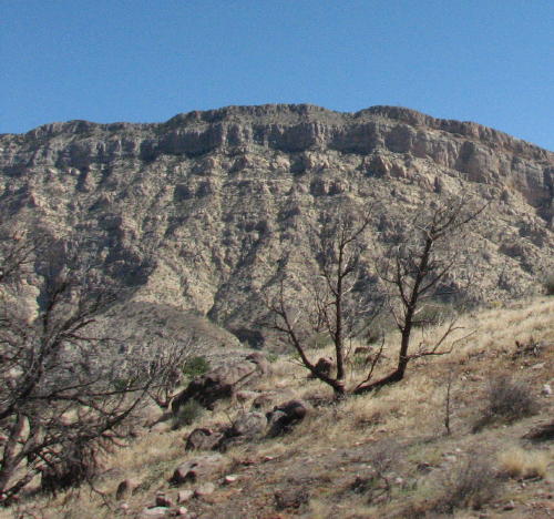
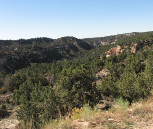
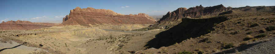
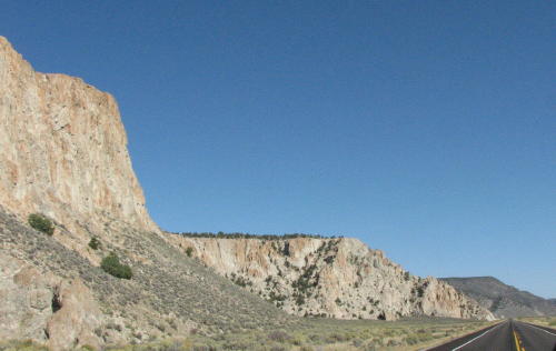
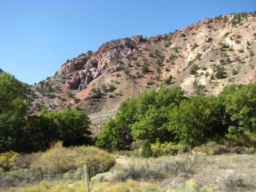
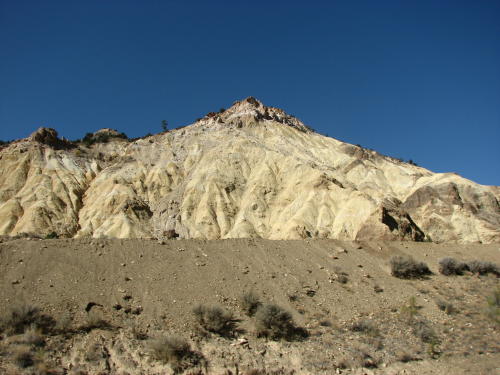
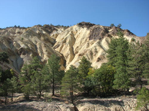
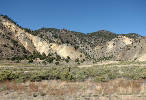
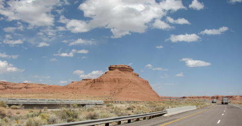
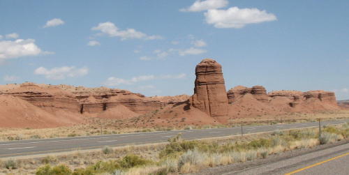
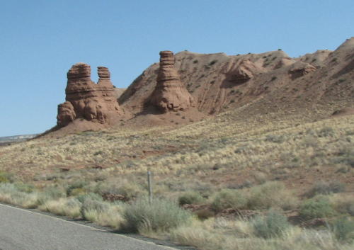
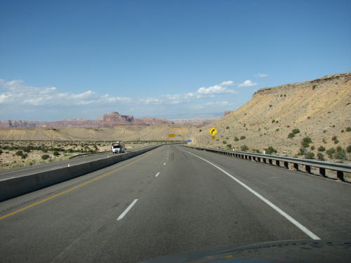
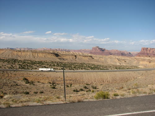
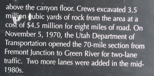
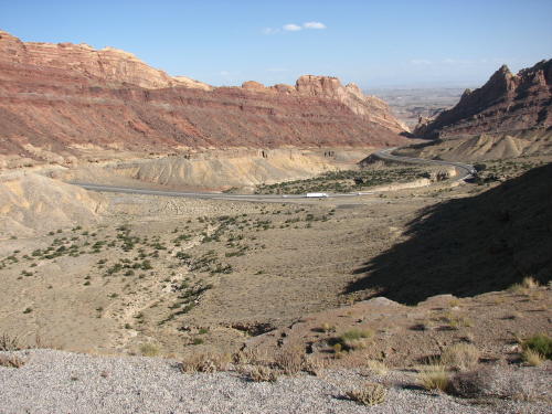
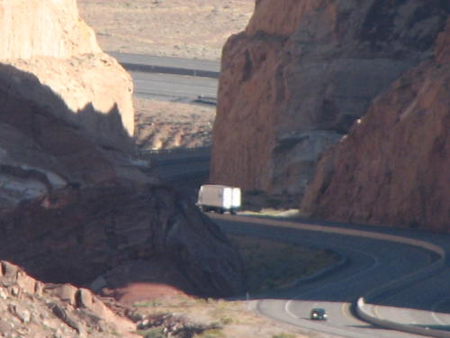
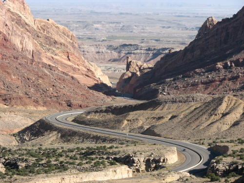
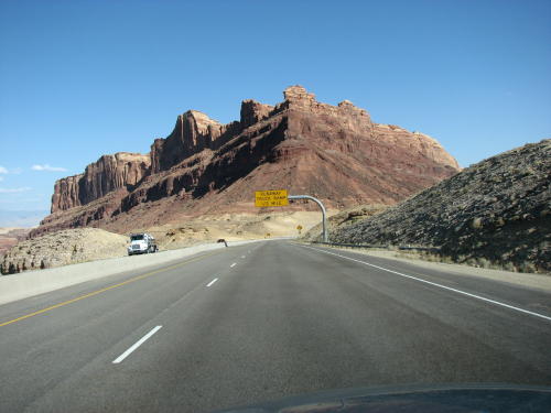
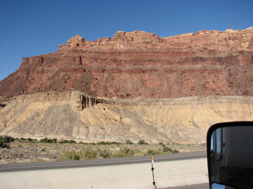
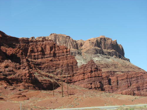
Eastbound on I-70, we had no idea we were going to travel through such beautiful scenery. A truck driver described this section of road as "Awesome", we agree.
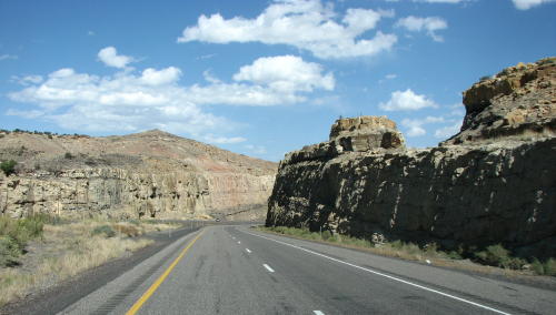
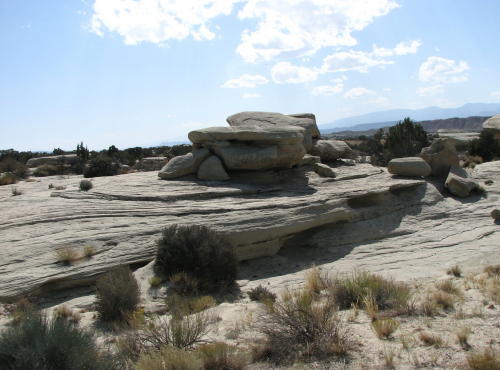
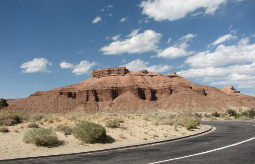
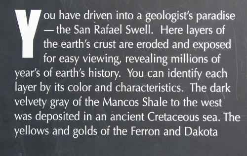
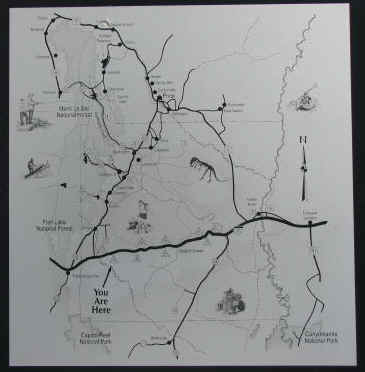
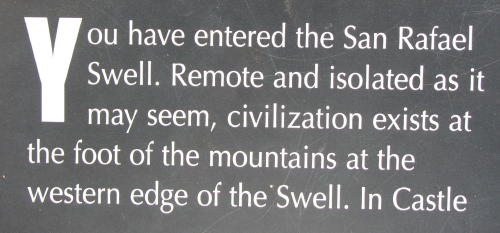
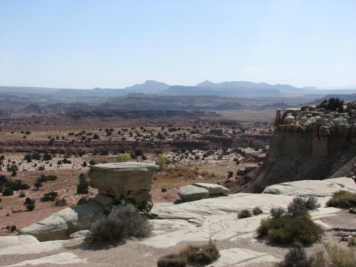
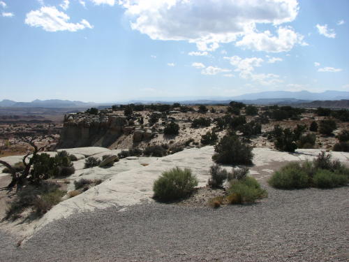
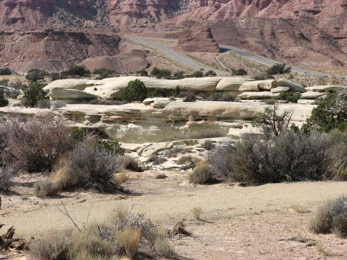
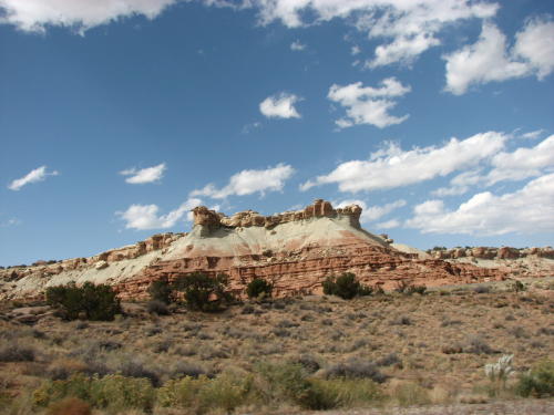
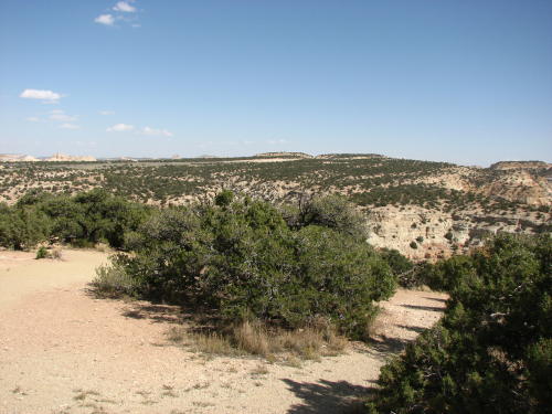
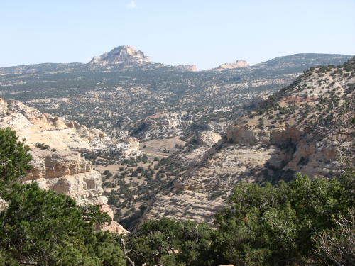
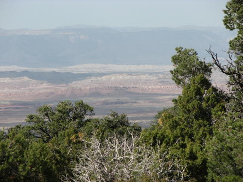
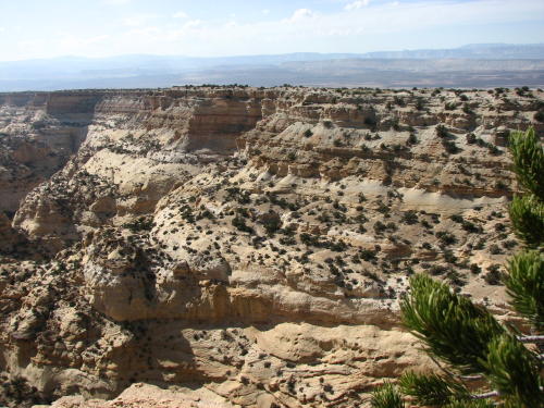
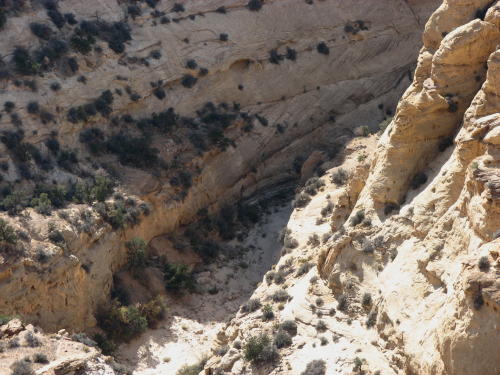
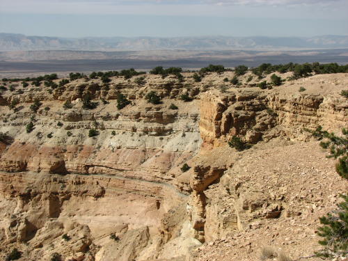
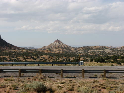
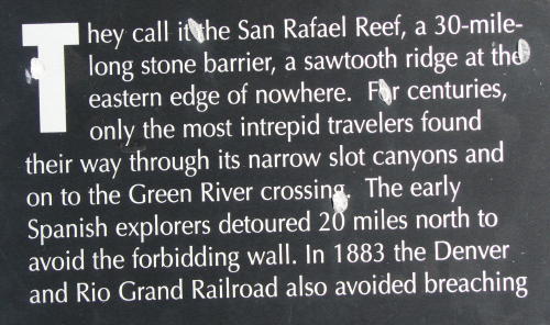
Entering The San Rafael Swell area . . . just east of Exit 97 on I-70. It is 30 miles of fantastic terrain.

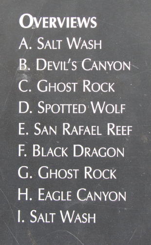
We must the final letter on this panel.

![]()
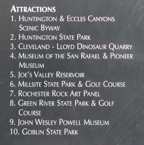
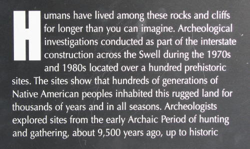
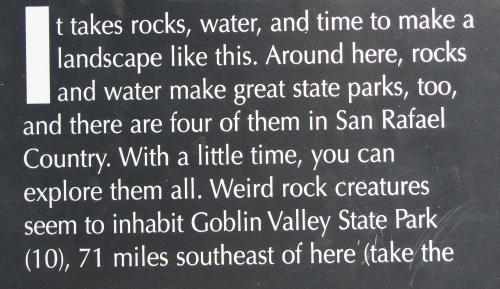
Display panels informed you of Overviews and Attractions on this section of I-70.
![]()
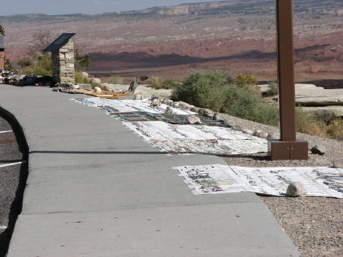
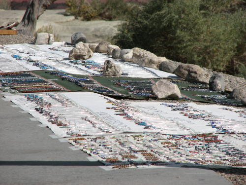
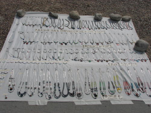
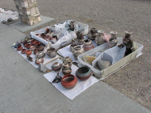
Under this sign, the local Indians were selling their wares. The jewelry products were organized and stitch on material for easy roll up and transportation to another location.


Moving on to the next viewpoint . . .
![]()

![]()
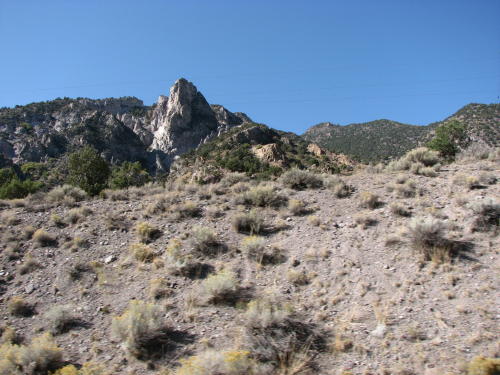
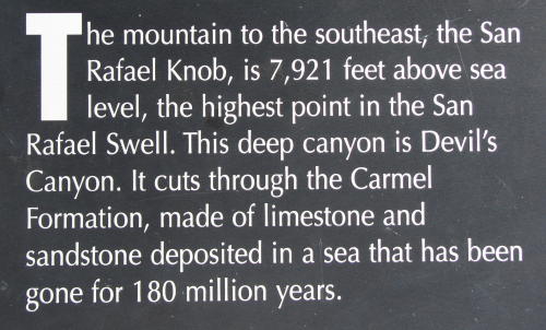
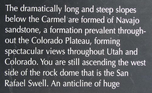
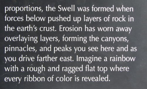
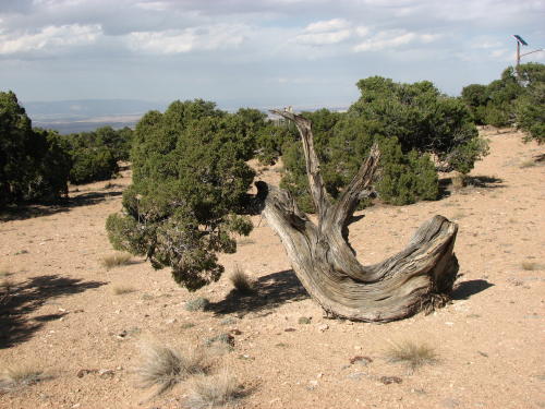
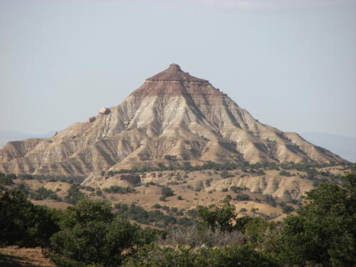
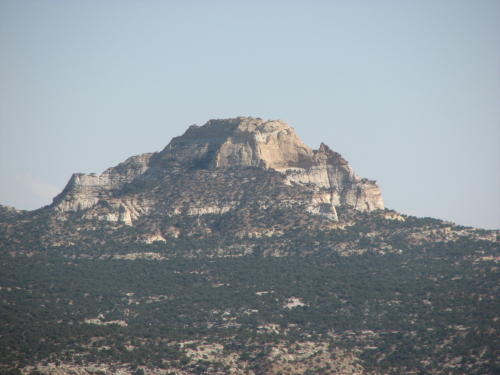 The San Rafael Knob - Elevation 7,921 feet.
![]()

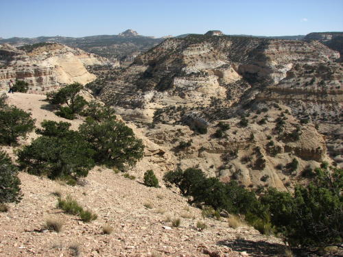
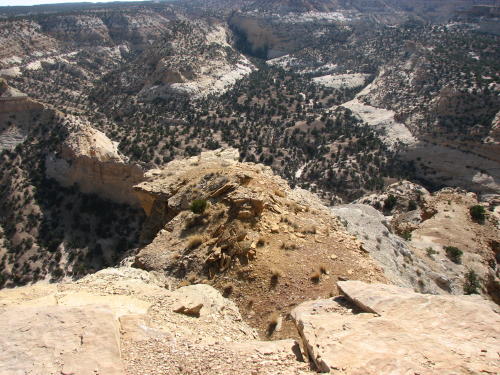
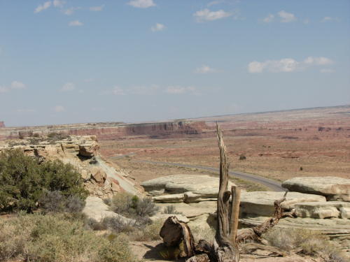
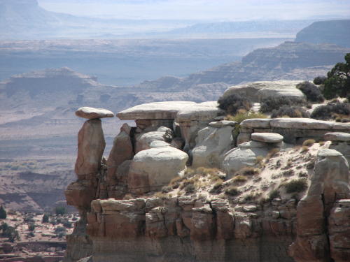
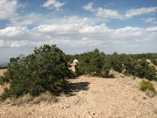
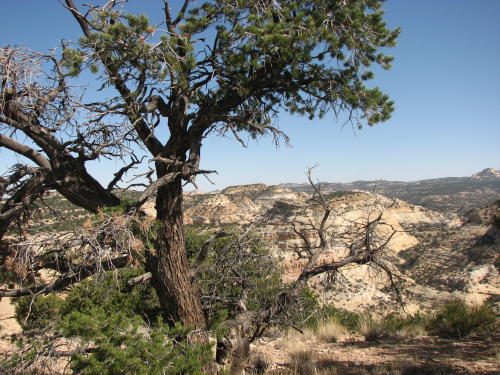
For a better view of the canyon, you walked out on a point.
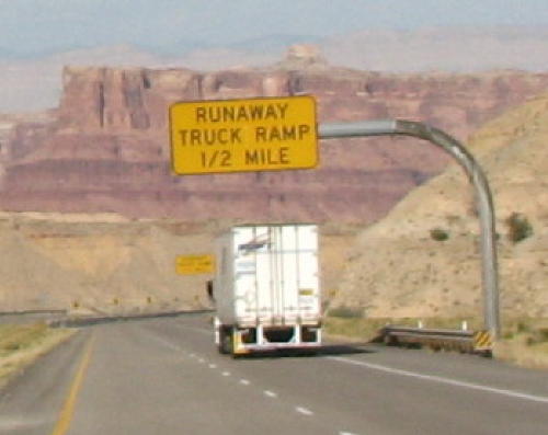
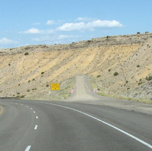
Big downhill in the road ahead . . .


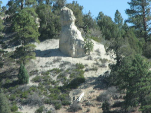
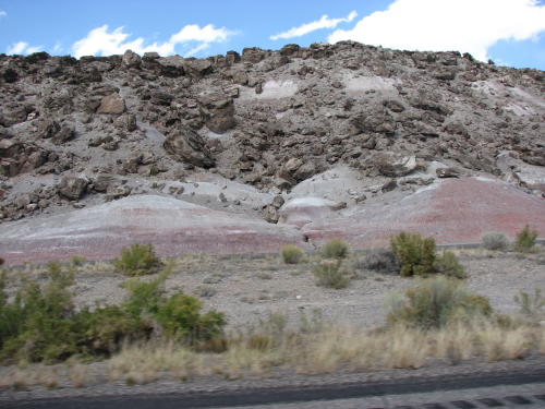
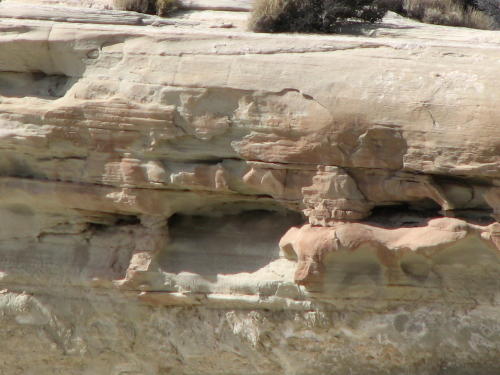
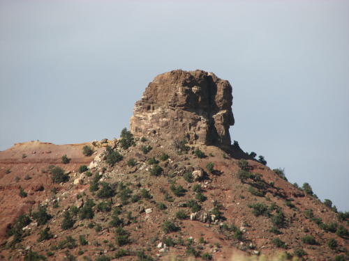
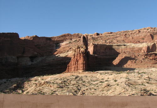
Ok, does this rock look like a locomotive with a cow pusher ?
 Signs
started warning about a steep decline ahead. On this trip there were many
locations where we appreciated the exhaust brake on the truck. This was one of
them.
Signs
started warning about a steep decline ahead. On this trip there were many
locations where we appreciated the exhaust brake on the truck. This was one of
them.
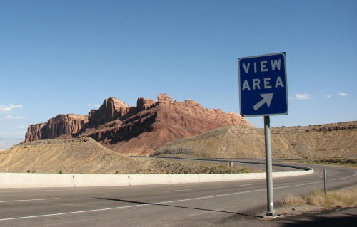
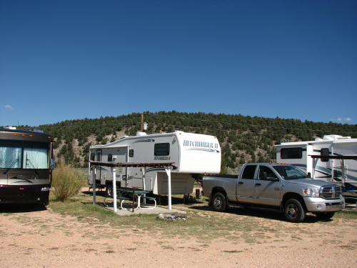
 Starting
the HHII moving on steep uphills is not economical. As much as possible, we try
to stop at pull-offs, view areas or scenic turnouts on a downgrade. This one
was on a downgrade and worth the stop.
Starting
the HHII moving on steep uphills is not economical. As much as possible, we try
to stop at pull-offs, view areas or scenic turnouts on a downgrade. This one
was on a downgrade and worth the stop.
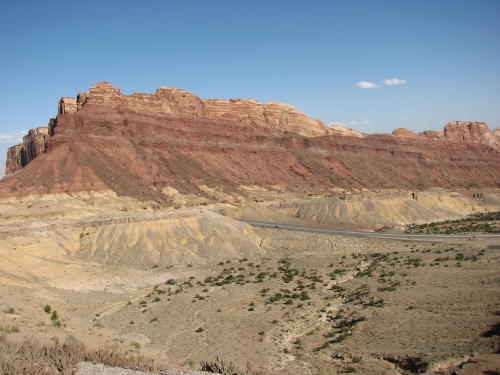
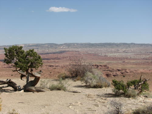
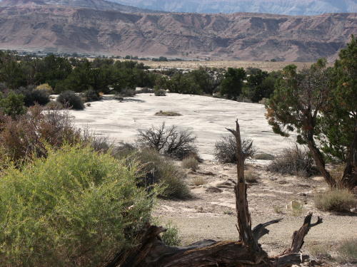
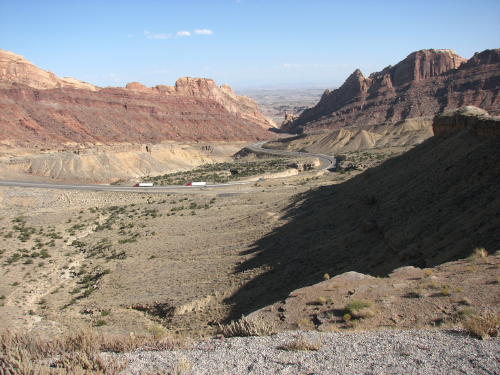
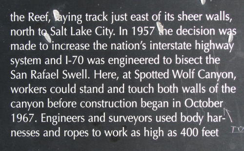
This 'view area' gave us a good look at Spotted Wolf Canyon.

On the road 'down' again . . .

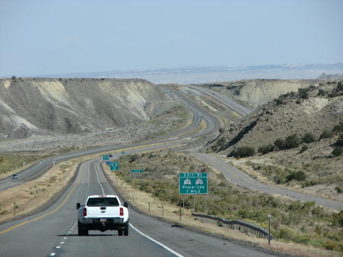
 In
this part of the country, freeway exits can be few and far between. To give
ranchers access to the freeway, 'ranch' interchanges have been constructed.
In
this part of the country, freeway exits can be few and far between. To give
ranchers access to the freeway, 'ranch' interchanges have been constructed.
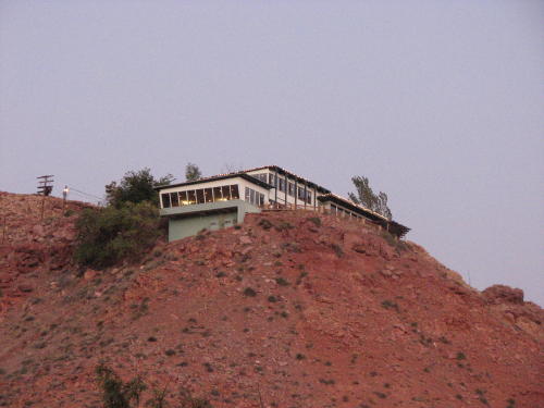 In
Moab, UT this restaurant has a good location overlooking the town.
In
Moab, UT this restaurant has a good location overlooking the town.
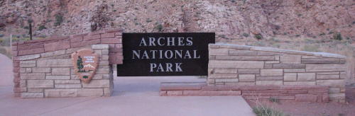
The entrance to Arches National Park is two miles outside of Moab.
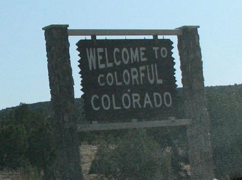
On the road to Colorado . . . The next day, we left Arches and headed toward Colorado.
 From red to gray . . .
 < Twin tunnels . . .
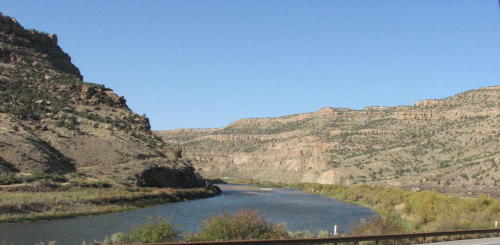
The road followed the Colorado River.
GO BACK TO > > > Pacific Northwest - 2008