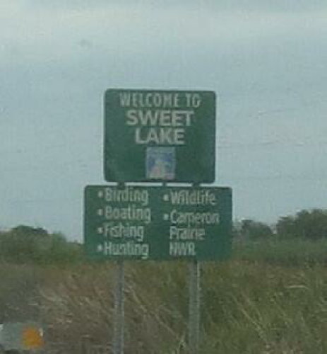
 The
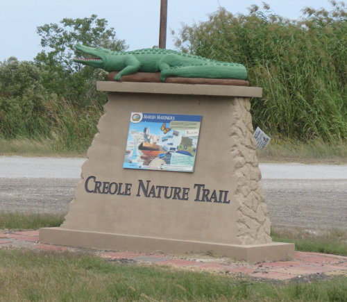
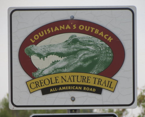
Creole Nature Trail, part of Louisiana's Outback, is an All-American Road
comprised of more than 180 miles. The Trail takes you through coastal marshlands,
prairies and along 26-miles of natural Gulf beaches.
The
Creole Nature Trail, part of Louisiana's Outback, is an All-American Road
comprised of more than 180 miles. The Trail takes you through coastal marshlands,
prairies and along 26-miles of natural Gulf beaches.Creole Nature Trail - All-American Road - 2015
Updated: 07/27/16
The
Creole Nature Trail, part of Louisiana's Outback, is an All-American Road
comprised of more than 180 miles. The Trail takes you through coastal marshlands,
prairies and along 26-miles of natural Gulf beaches.
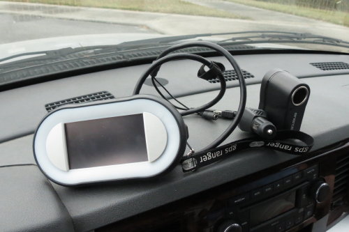
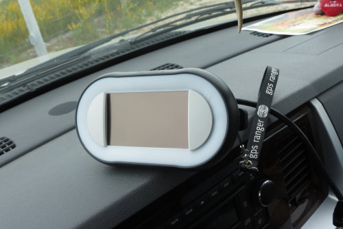 The
tourist center loans you a device that has recorded messages about the points of
interest along the trail. We were told that once we started the device we could
not turn it off - it was a one time use. That was not correct. It functioned
well and came to life with a message as we entered the range of each transmitter
at each point of interest.
The
tourist center loans you a device that has recorded messages about the points of
interest along the trail. We were told that once we started the device we could
not turn it off - it was a one time use. That was not correct. It functioned
well and came to life with a message as we entered the range of each transmitter
at each point of interest.
The device was picked up at one end of the u-shaped Creole Nature Trail and dropped off at the other end of the trail.
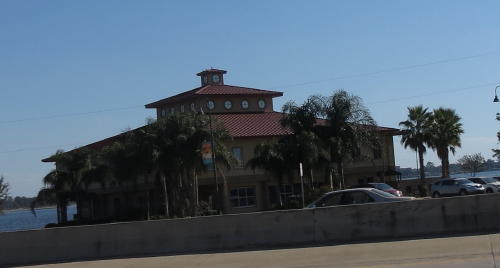
Tourist center in Lake Charles . . .
This was not where we
obtained the device narrating our trip on the trail.
That was obtained at a
district office closer to the trail.
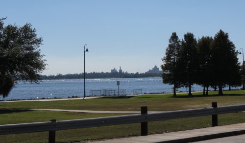
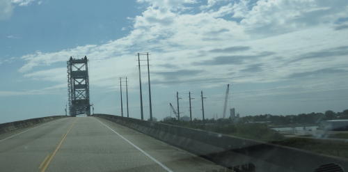
 We
could see the tourist center from the service road but the bridge was in front of it.
We
could see the tourist center from the service road but the bridge was in front of it.
We traveled beside and under the bridge and back only to find no RV parking. Fred found a spot to park next door and Mary Lou hiked back to the tourist center.
 From here we traveled to our campsite and the start of the Creole Nature
Trail.
From here we traveled to our campsite and the start of the Creole Nature
Trail.
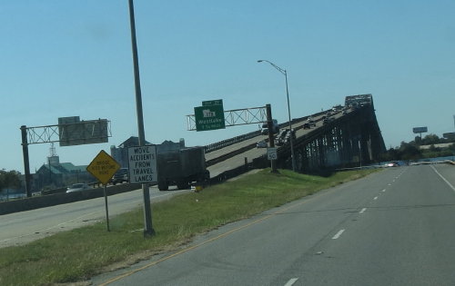
Getting from the tourist center back to our route was a little tricky - too many exit ramps and levels. But, we navigated it well.
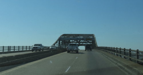
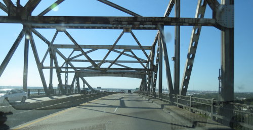
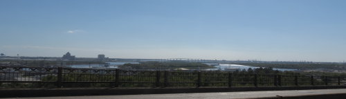
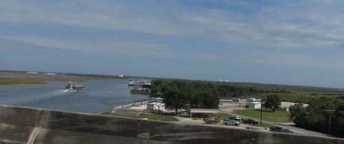
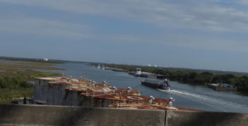
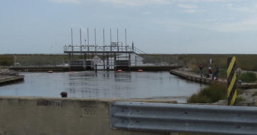
The view from the top of the bridge was fantastic.
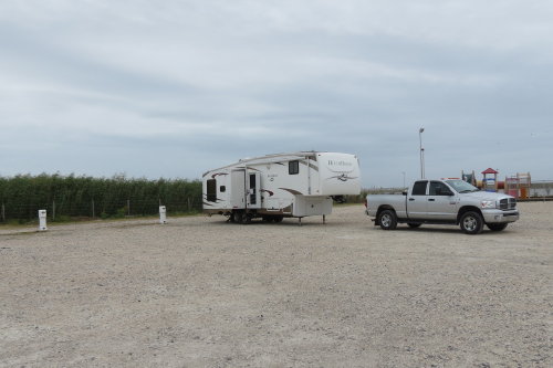
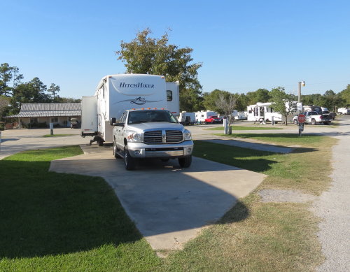 Our
campsite in Sulfur, LA was only a short distance from the district office where we
picked up our tour device the next morning.
Our
campsite in Sulfur, LA was only a short distance from the district office where we
picked up our tour device the next morning.
The people in the campground gave confusing directions.
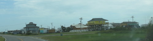
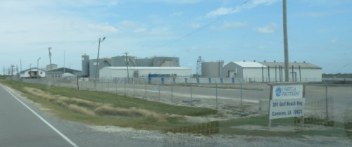
We were a little concerned when the Creole Nature Trail started in an industrial area.
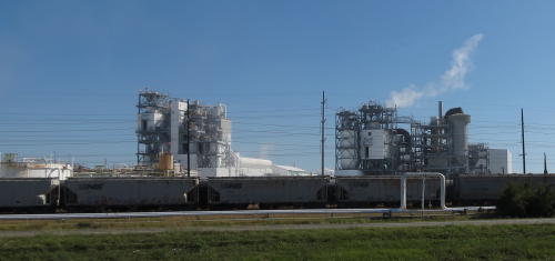
Soon, it opened to more like what we expected.
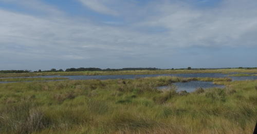
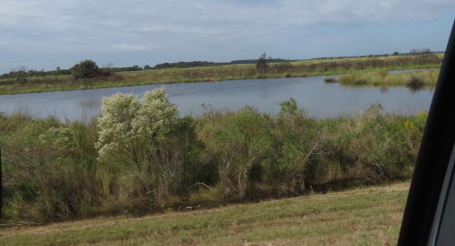
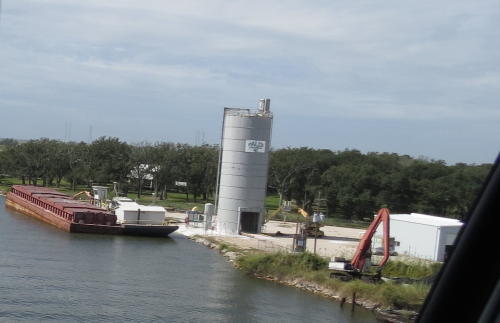
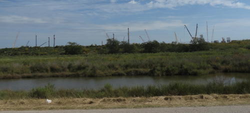
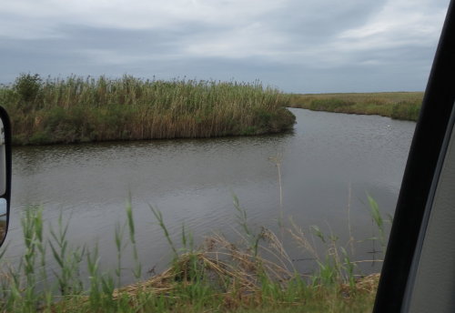
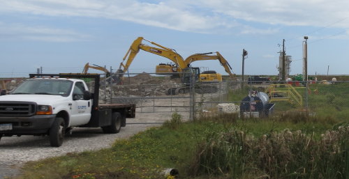
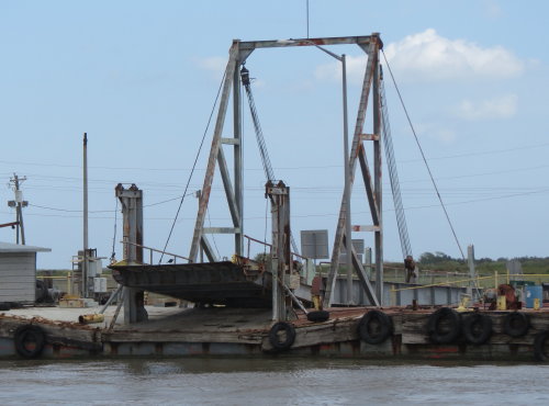
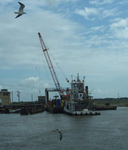
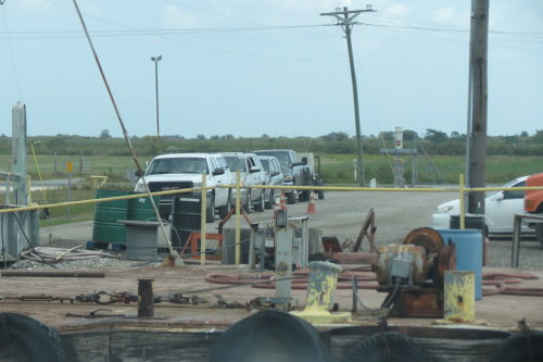
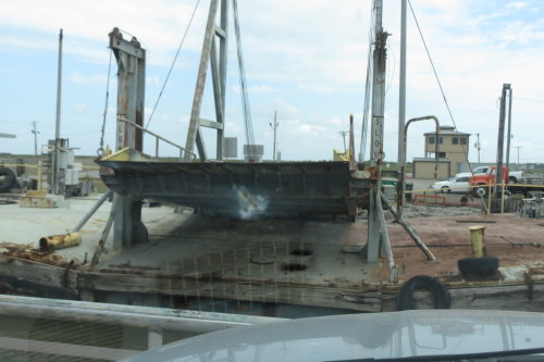
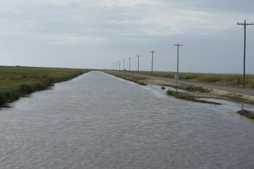
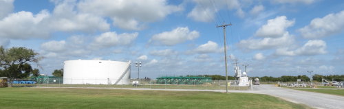
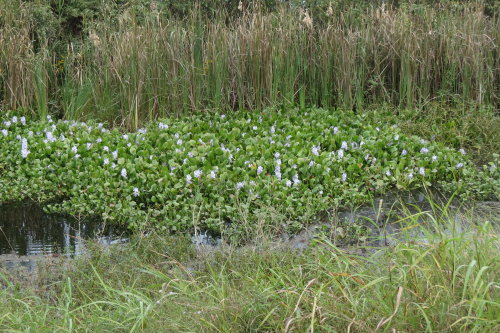
It is mostly wetlands and water ... but ... you are generally in sight of an oil operation of some kind.

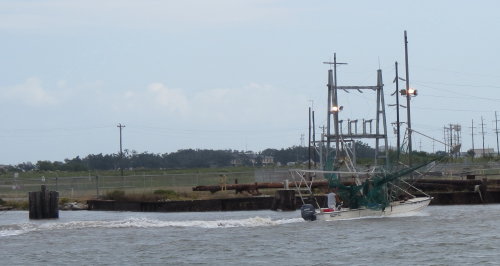
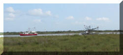
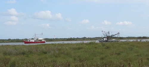
Many of the rivers are busy with boat and barge traffic. Most are carrying oil.
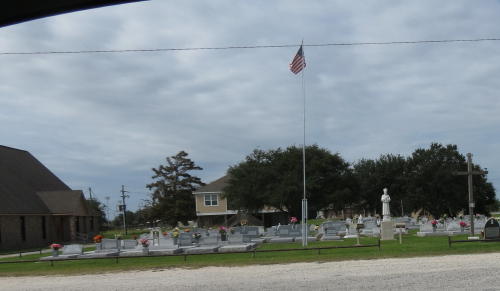
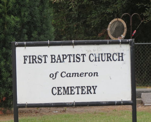
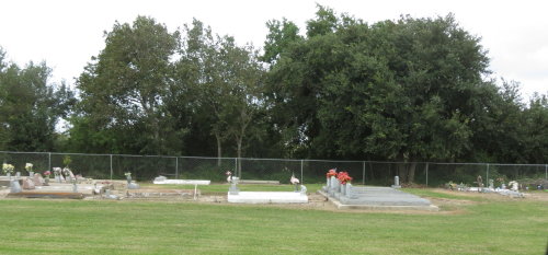
Because of the high water table, people are buried above ground.
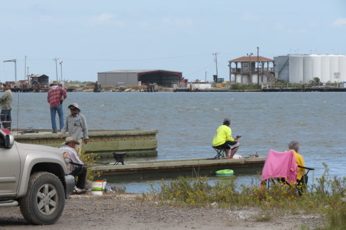
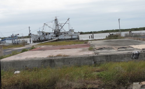
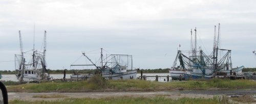
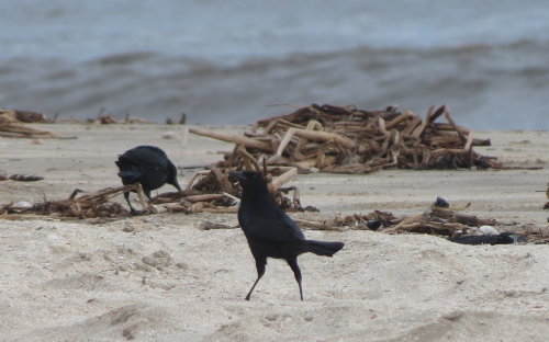
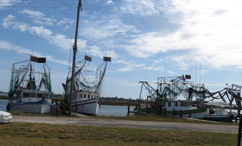 Fishing boats.
For preservation, utility poles are in concrete and set deep to find firm ground.

 There
are not many residences along most of the Creole Nature Trail. Generally, the
people living in this area are employed in the oil industry.
There
are not many residences along most of the Creole Nature Trail. Generally, the
people living in this area are employed in the oil industry.
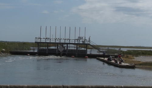
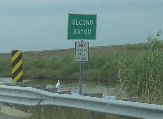
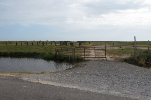
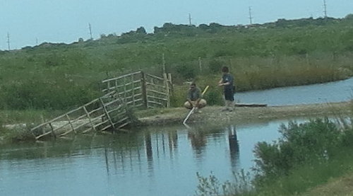
Some public access can be found. Most were very near the roadway and people were fishing from shore or a water control dam.
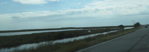
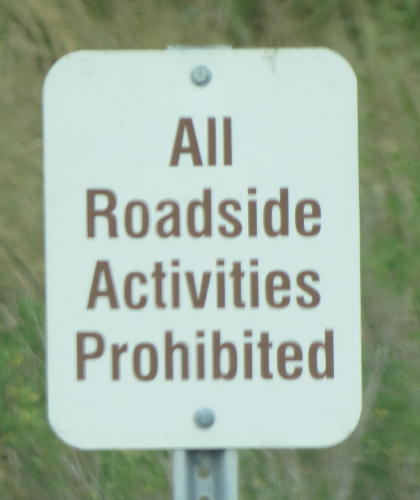
Because the water was near the road, only a narrow shoulder was possible.
Therefore, vehicles could not safely park along the road.
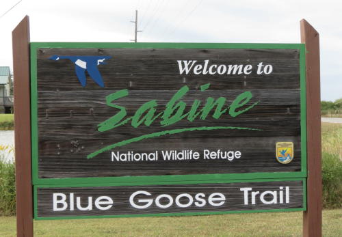
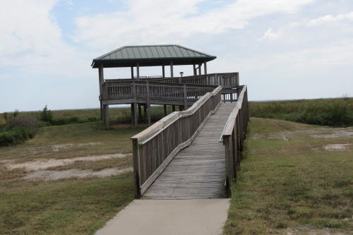
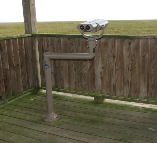
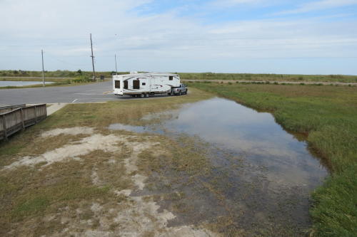
Sabine National Wildlife Refuge was a large pull-off . . . even big enough for our RV.
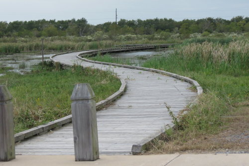
Located here is a 1.5 mile handicap accessible walk over a freshwater marsh. The site includes rebuilt boardwalks, trails, observation decks, signs and interpretive materials. Heavily damaged by Hurricane Rita in 2005, and again in 2008 by Hurricane Ike, it is now open. Most of the buildings were damaged beyond repair by the 2008 storm and had to be removed.
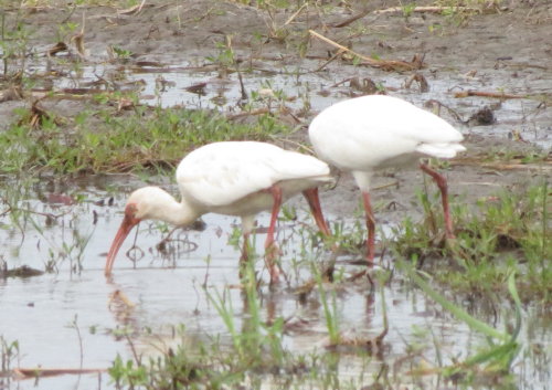
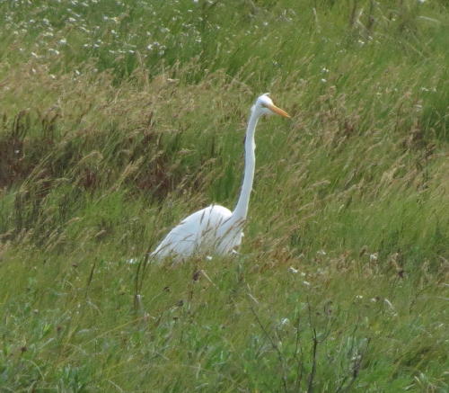 Just one of the may shore birds.
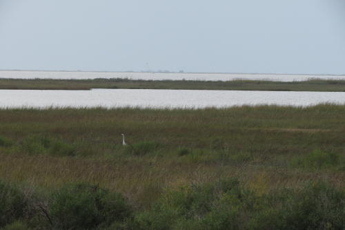
A view from the parking lot, before the walkway to the observation platform.
Back along the Creole Nature Trail we saw more water, birds, signs and buildings on stilts.
Commercial activities were plentiful. Much rebuilding continues as the area recovers from the devastating hurricanes.
As we traveled Louisiana Route 82 we saw much that was interesting to us. Not like sights we'd seen any place else. Of course, we made many photographs to share with you. All around us was water, boats, and oil. Each mile we drove reminded us of the struggle to recover for Hurricane Rita in 2005 and Hurricane Ike in 2008.
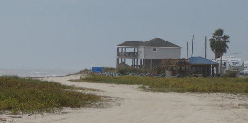
 Holly
Beach is a small resort town. It was being rebuilt from Hurricane Rita in
2005, when 2008 Hurricane Ike again devastated it. We later
learned this area is also known as "the Cajun Riviera". Before the hurricanes, it
was a very popular vacation destination. Slowly, housing is starting to come
back. We didn't see any stores or restaurants close to these homes.
Holly
Beach is a small resort town. It was being rebuilt from Hurricane Rita in
2005, when 2008 Hurricane Ike again devastated it. We later
learned this area is also known as "the Cajun Riviera". Before the hurricanes, it
was a very popular vacation destination. Slowly, housing is starting to come
back. We didn't see any stores or restaurants close to these homes.
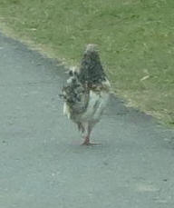 Chickens
roamed free.
Chickens
roamed free.
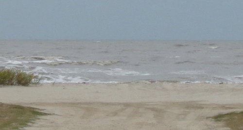
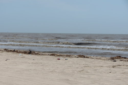
Leaving Holly Beach along Louisiana Route 82, we saw lots of the Gulf of Mexico. Some of these photographs were made when we didn't have the trailer with us. It is easier to explore when you have just a four wheel drive truck.
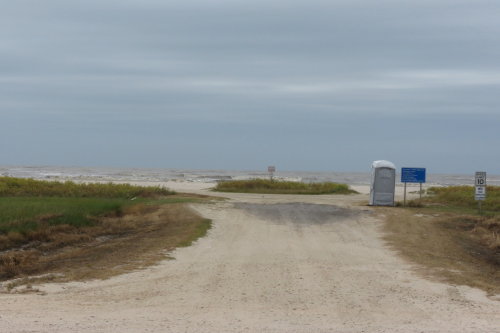 Roads
lead to the Gulf of Mexico.
Roads
lead to the Gulf of Mexico.
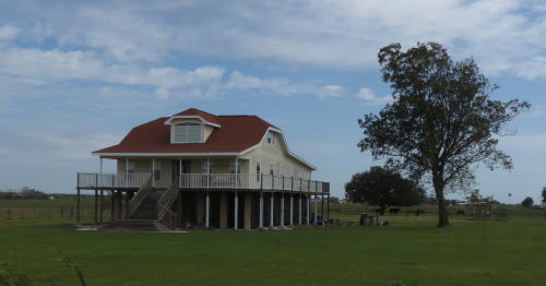
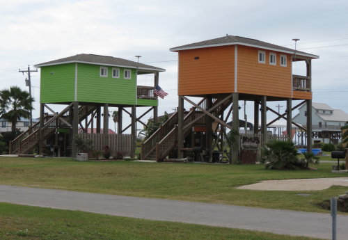
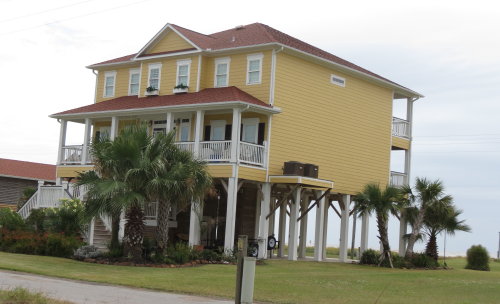
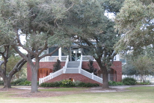
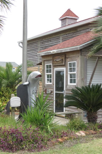 This
home was nicely decorated.
This
home was nicely decorated.
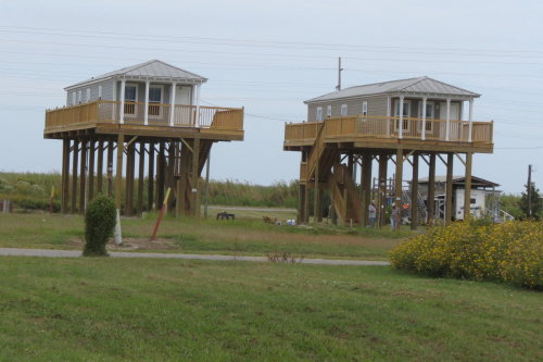
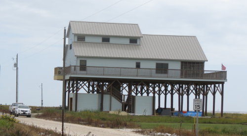
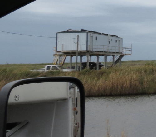
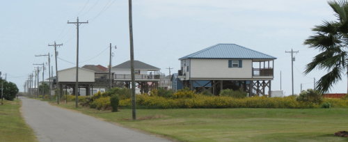
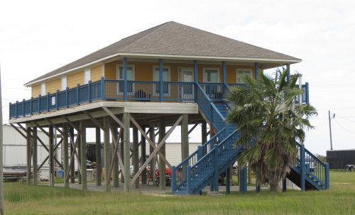
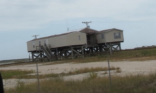
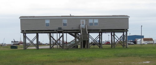
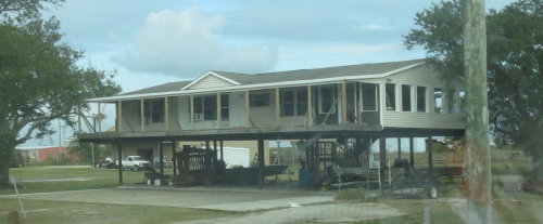
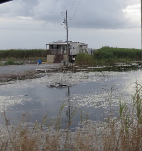
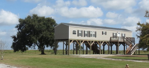
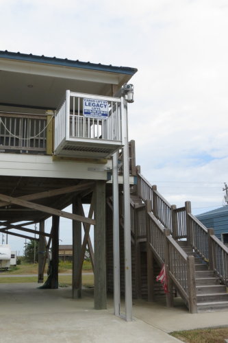 You
can image the number of trips up and down the stairs required when living in a
home on stilts. These power lifts may service both people, groceries and
supplies.
You
can image the number of trips up and down the stairs required when living in a
home on stilts. These power lifts may service both people, groceries and
supplies.
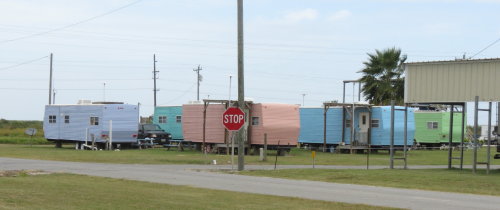
These may be rental units.
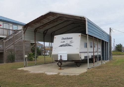
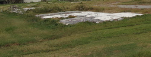
This is a frequent sight.
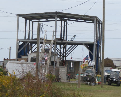
It looks like the house was blown/washed off the stilts.
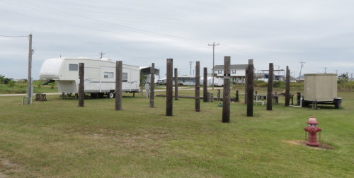
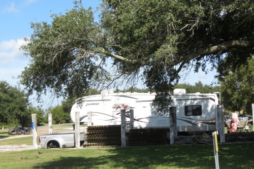
The people are living in a fifth wheel for a fast get-a-way.
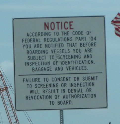
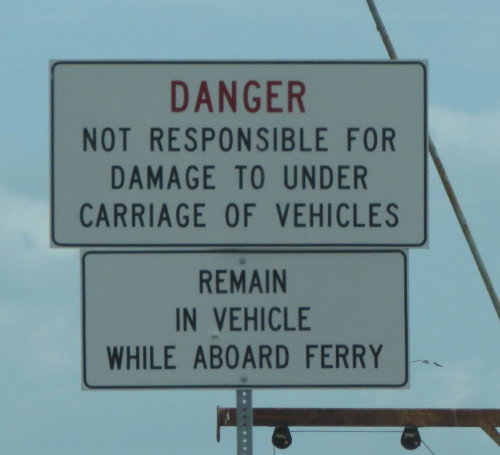
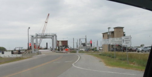
The end of the road. Well, not really ... just the end of the pavement before the river. We were ferried across free of charge from east of Holly Beach to Cameron. If we wanted to come back, the cost was $1.00.
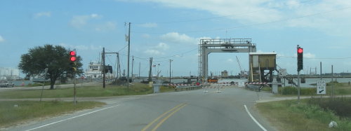
We watched people fish until the guy
sitting on the rail motioned us forward
onto the ferry.
We also read the warning signs.
We were apparently waiting for the white utility vehicle. He drove on the ferry, turned left and disappeared behind the pilot house.
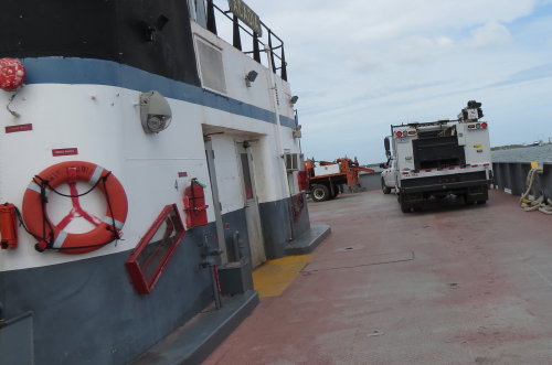
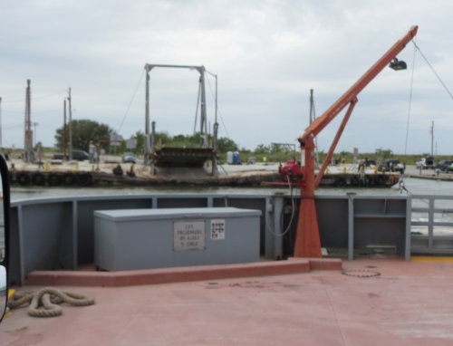
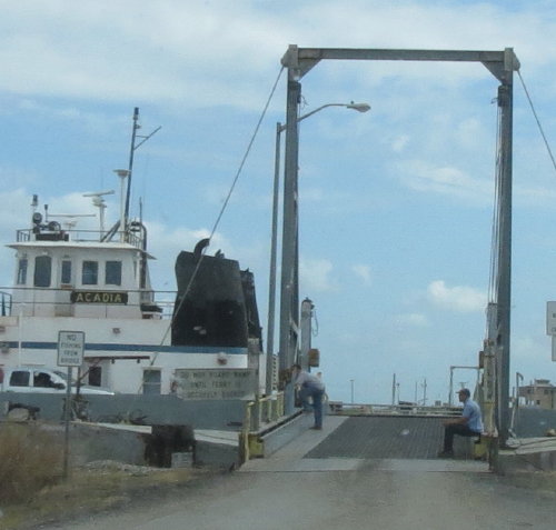
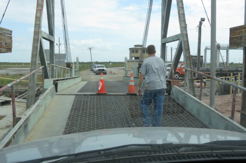
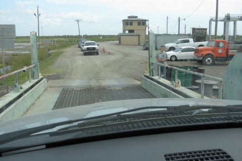
 We
were motioned to drive onto the ferry. Watching our front bumper, he stopped us
when we were in position. He checked the rear of our HitchHiker and raised the
ramp.
We
were motioned to drive onto the ferry. Watching our front bumper, he stopped us
when we were in position. He checked the rear of our HitchHiker and raised the
ramp.
They advertised that RVs of any size could travel on the ferry. Looking in the mirror, Fred was glad we were not any longer.
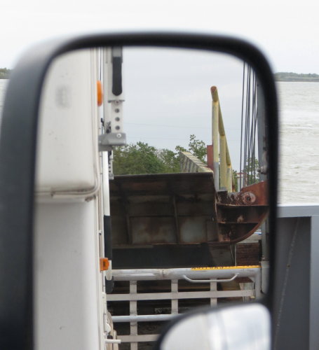
The ramp across the river was a
short distance from where we
loaded.
The ferry was
propelled sideways across the river.
The paying customers were waiting to cross the river.
When the ramp was
lowered, the guy
had us back up a couple inches so the
ramp would clear
our front bumper.
(So much for RVs of any size.)
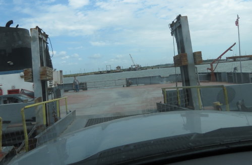
 He
moved the orange cones and motioned us off the ferry. Our free ride was over.
Maybe he talked to the customers who paid the $1.00 ... but ... he never said a
word to us.
He
moved the orange cones and motioned us off the ferry. Our free ride was over.
Maybe he talked to the customers who paid the $1.00 ... but ... he never said a
word to us.
It looks like another building was
blown away by a hurricane.
Cameron was at the bottom of the u-shaped route of the Creole Nature Trail. It is on the Gulf of Mexico.
A very small community, made even smaller by the damaging hurricanes. Commerce is slowly trying to rebound. We received a directory of the businesses in town - maybe someday there will be a thriving community - but for now there wasn't much. The most modern store was the 'dollar store' - it served as a grocery store too.
 This
time we were passing through. It did not take us as long as expected to complete
the trail - we completed the trail in one day. We left the HitchHiker at the
Cameron Jetty campground and headed back to complete the Trail. When we finished the
trail, we returned to Cameron for the night. (While you can pass through Cameron,
you have to purchase a pass to be on the jetty. We will show you more of the
Cameron Jetty on our
Louisiana - 2015 page. )
This
time we were passing through. It did not take us as long as expected to complete
the trail - we completed the trail in one day. We left the HitchHiker at the
Cameron Jetty campground and headed back to complete the Trail. When we finished the
trail, we returned to Cameron for the night. (While you can pass through Cameron,
you have to purchase a pass to be on the jetty. We will show you more of the
Cameron Jetty on our
Louisiana - 2015 page. )
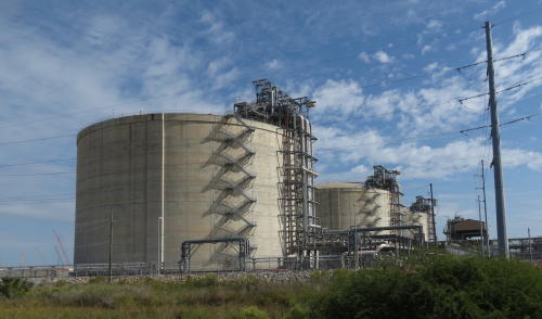
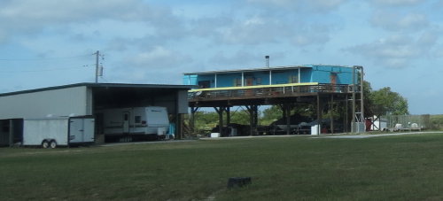
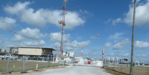
 Industrial building . . .
A drive to the Gulf shore on a road end . . .

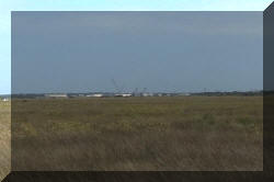
Oil platform in the distance . . .
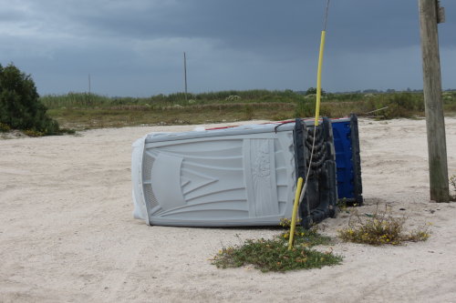
We hope this was unoccupied and
empty when it was blown/tipped over.
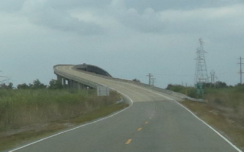
We think this is the bridge we
photographed from Pintail Drive.
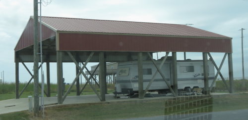
Another fifth wheel next to stilts
where a house used to be.
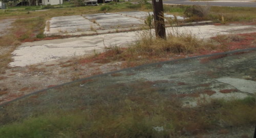
We were told that before the hurricanes there were over 800 structures in the Creole, LA area, only 80 remained after Hurricane Ike in 2008.
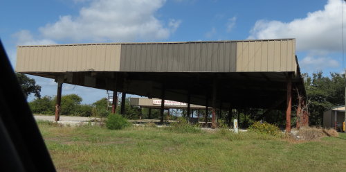
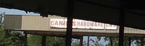 A
hardware store that did not re-open . . .
A
hardware store that did not re-open . . .
hardware-store_1.jpg)
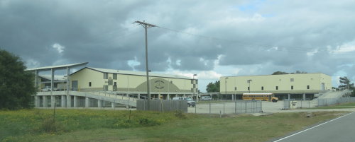
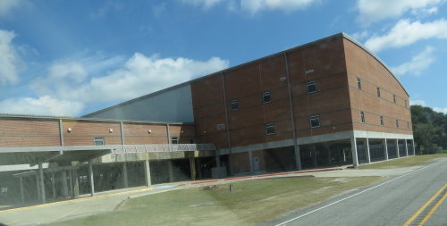 A
school . . .
A
school . . .
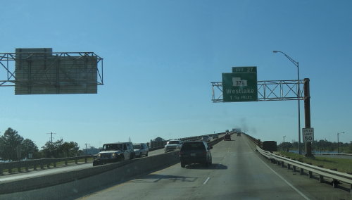
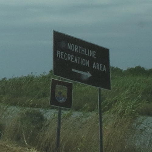
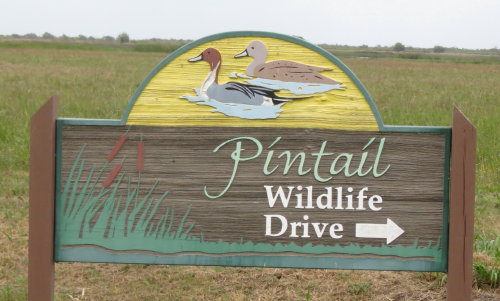
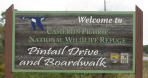
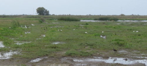
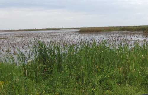
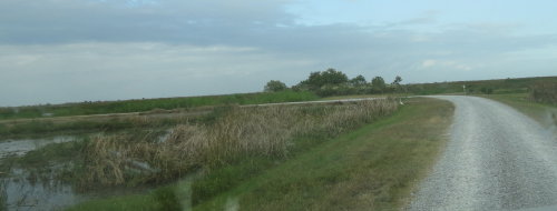
We headed north on Louisiana Route 27, out of Creole, LA - part of the u-shaped route of the Creole Nature Trail. The Pintail Wildlife Drive is a self guided three mile loop through feeding/resting habitat for wintering waterfowl. The drive includes a fully accessible half-mile boardwalk over a freshwater marsh, with viewing scopes and interpretive panels. The US Fish & Wildlife Service administers this area.
Don't miss this three mile loop drive. You will enjoy it very much, it will take you at least 30 minutes.
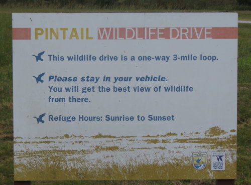
Be sure to pick up a brochure at the entrance that gives you pictures of the various species of birds and other wildlife you may see on your drive.
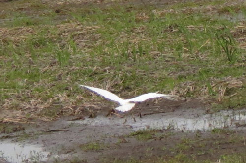
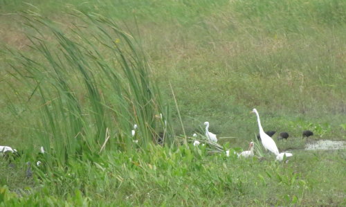
Egrets . . .
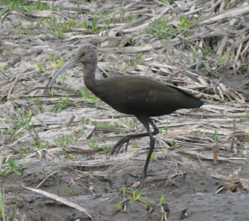
Glossy Ibis . .
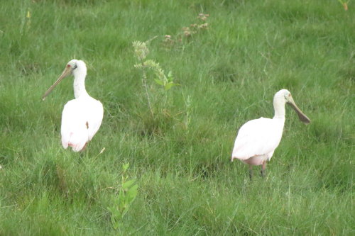
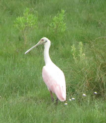
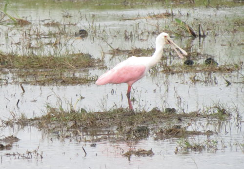
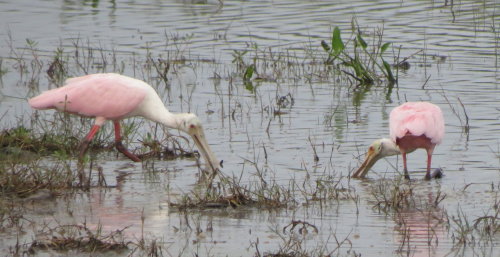 Spoonbills . . .
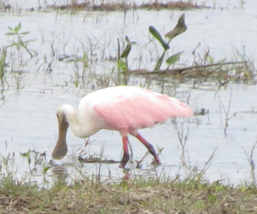
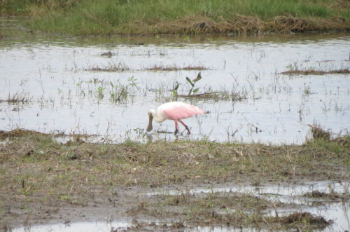
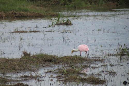
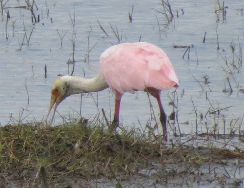
More Spoonbills . . . Mary Lou loved the spoonbills.

Cormorants . . .
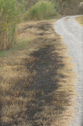
A small grass fire . . .
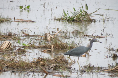
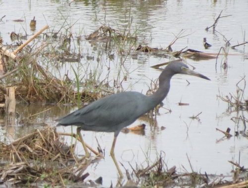
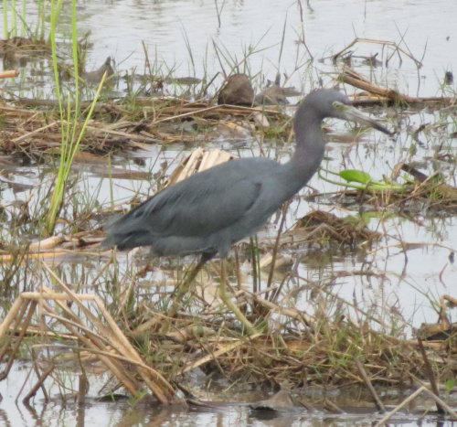
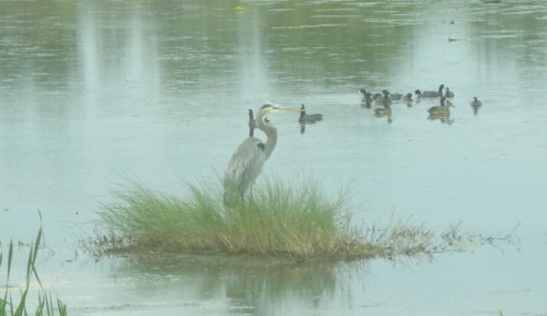
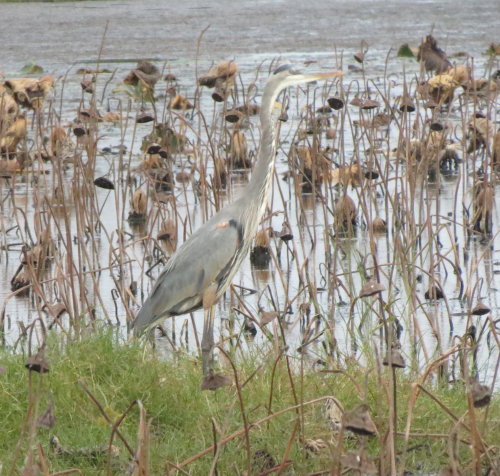
Herons . . .
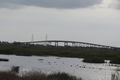
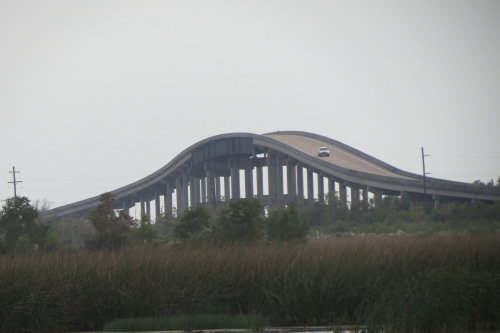
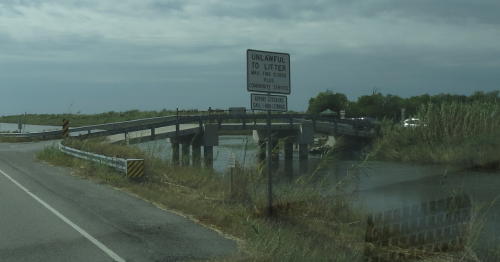
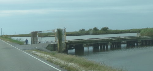
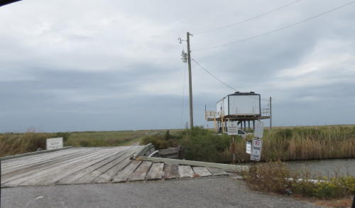
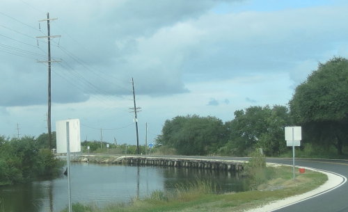
If this isn't the same bridge as photographed earlier, it is still impressive.
It covered a lot of water and part of it provided clearance for boat traffic.
 The
last turn on Pintail Drive.
The
last turn on Pintail Drive.
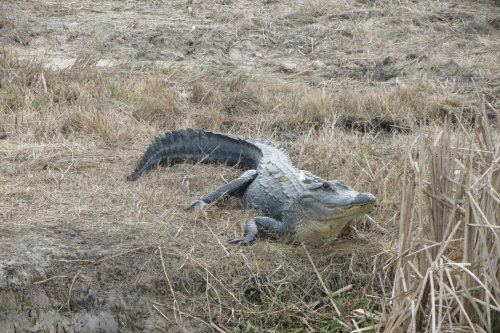
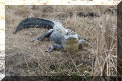
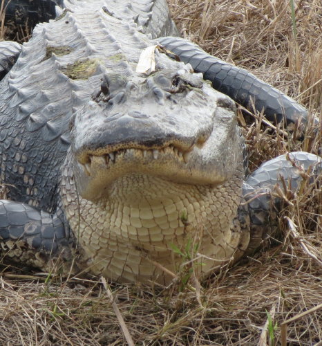
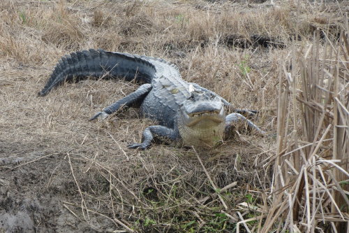
We were told it too cold to see any alligators on our drive on the Creole Nature Trail. We saw this guy almost at the end of Pintail Drive.
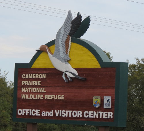
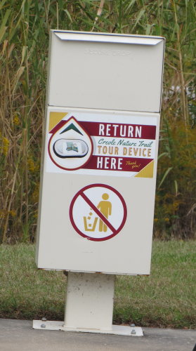 Not
far from Pintail Drive, we turned in our tour device at the Office and Visitor
Center south of Holmwood, LA.
Not
far from Pintail Drive, we turned in our tour device at the Office and Visitor
Center south of Holmwood, LA.
The center was closed so we couldn't look at their displays.
The tour device was a great enhancement to our tour.
As a nature trail, other than Pintail Drive, we were somewhat disappointed. The industrial/oil activity, river crossing, Cameron, the depressed housing and lack of commercial businesses was an educational enlightenment.
We spent the night on the Cameron Jetty prior to continuing our travel eastbound along the Gulf of Mexico shore.
Go back to: Louisiana - 2015