Bryce Canyon National Park - 2008 . . .
on our
route from the Pacific Northwest
Updated:
01/14/09
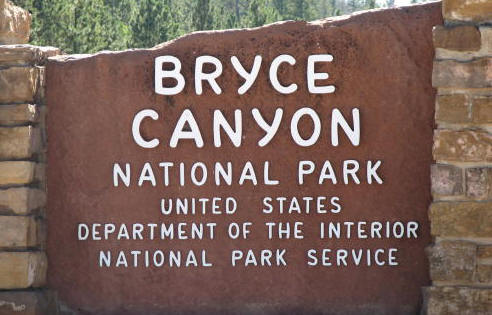
 Bryce
Canyon National Monument was established in 1924, it officially became a
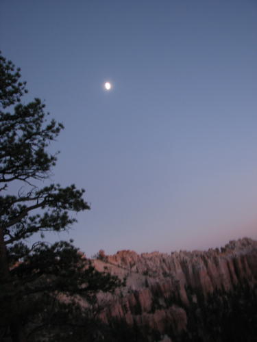
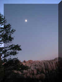
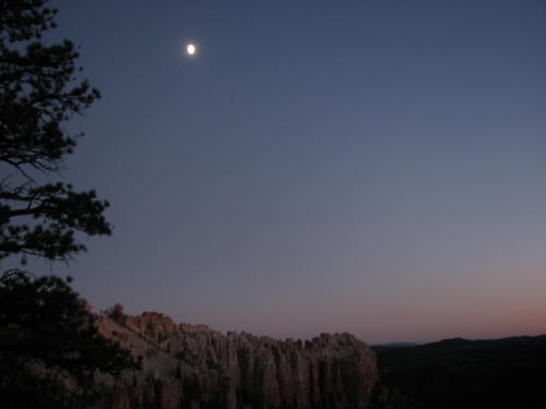
National Park in 1928. The 55 square mile park is best know for the
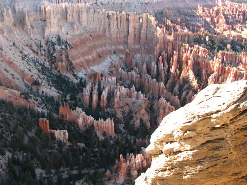
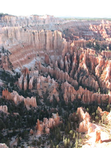
beautiful rock spires and the dark night sky. An American Indian
name for the area translates as 'red rocks standing like men in a bowl-shaped
canyon.'
Bryce
Canyon National Monument was established in 1924, it officially became a
National Park in 1928. The 55 square mile park is best know for the
beautiful rock spires and the dark night sky. An American Indian
name for the area translates as 'red rocks standing like men in a bowl-shaped
canyon.'
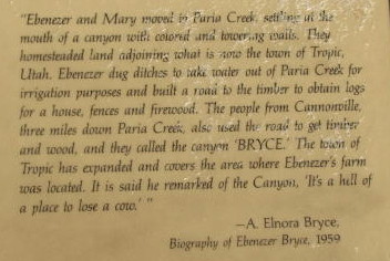
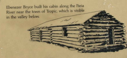
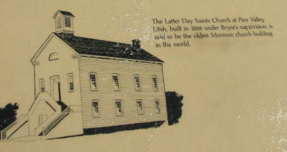
The park is named after a Mormon pioneer Ebenezer Bryce. He and
his wife, Mary, lived in the area from 1875 - 1880 and aided in the settlement
of the area. His
cattle grazed in the maze-like twist of the canyon's stream beds. He is said to
declare, "a hell of a place to lose a cow."
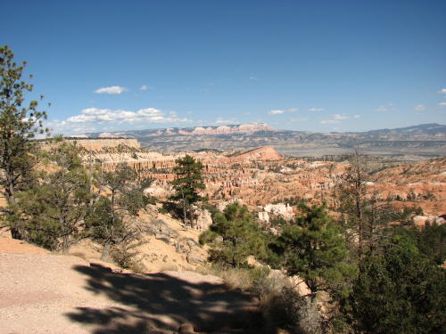
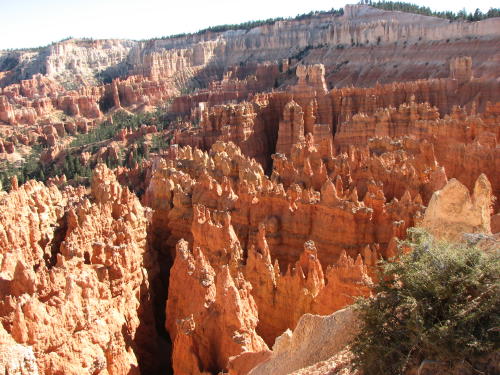
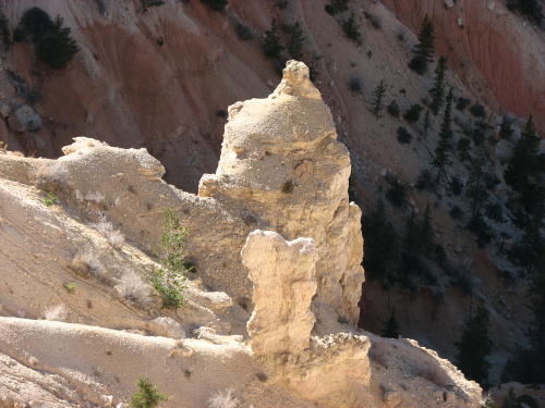
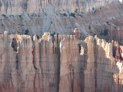
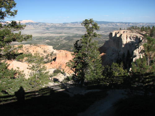
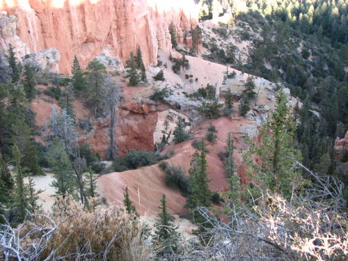
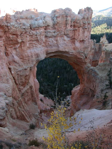
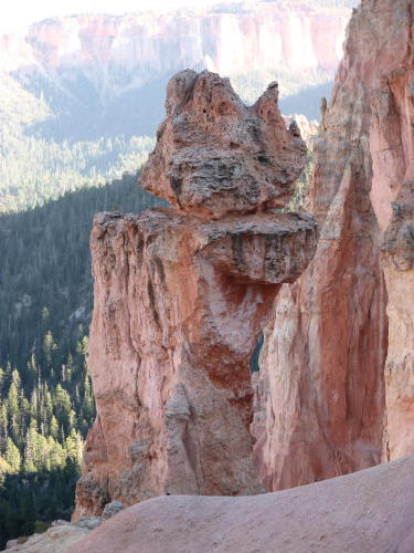
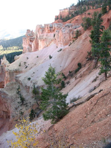
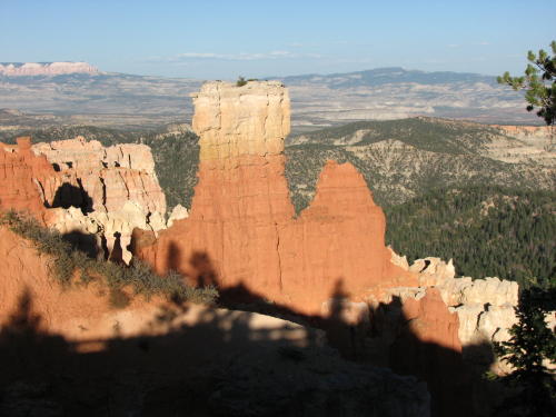
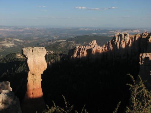
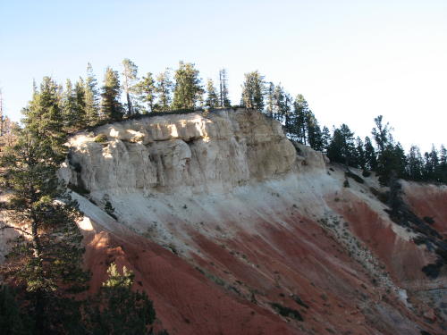
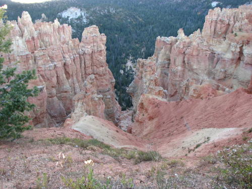
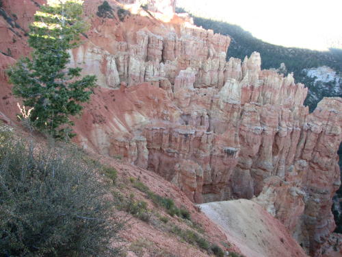
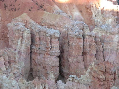
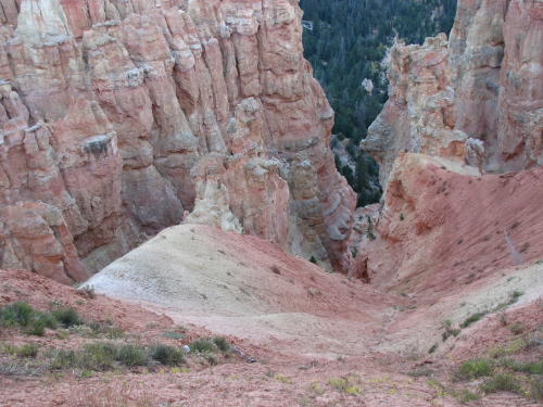
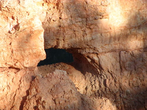
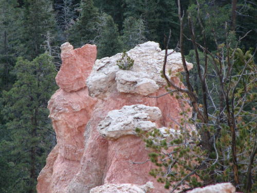
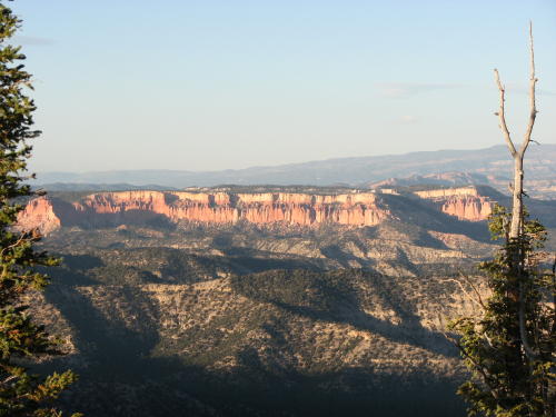
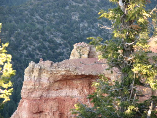
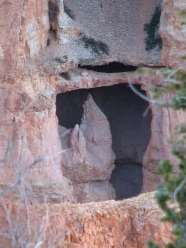
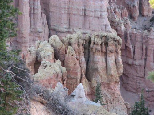
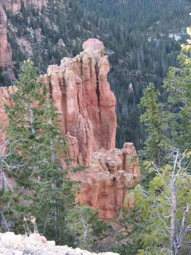
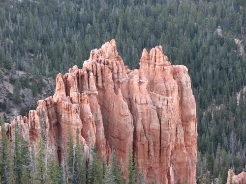
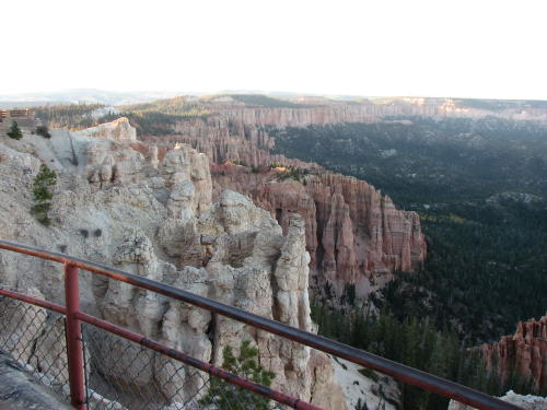
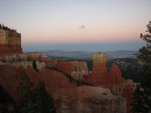
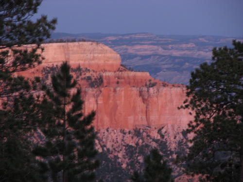
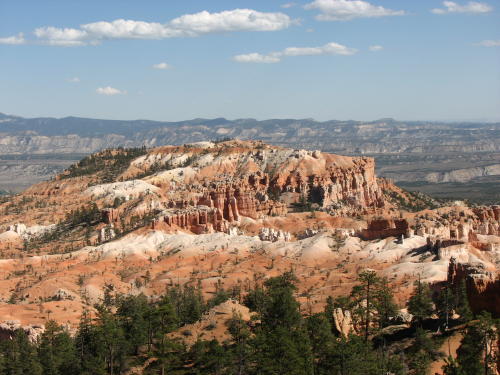
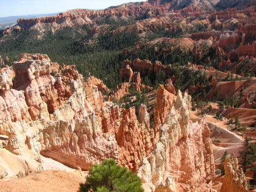
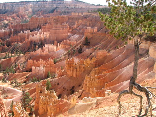
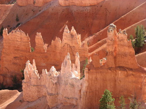
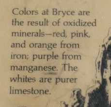
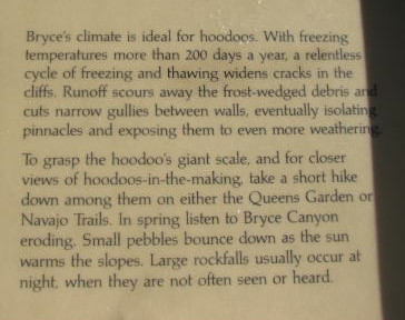
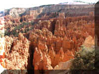
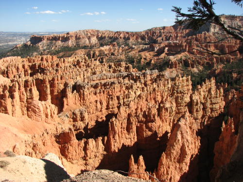
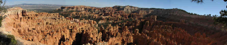
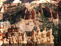
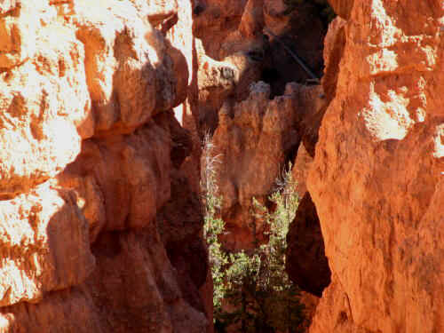
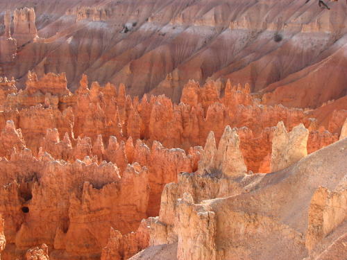
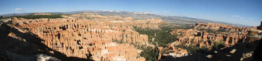
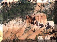
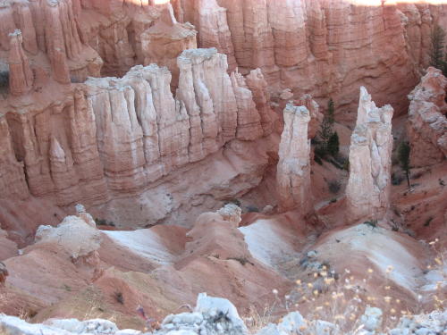
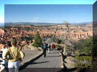
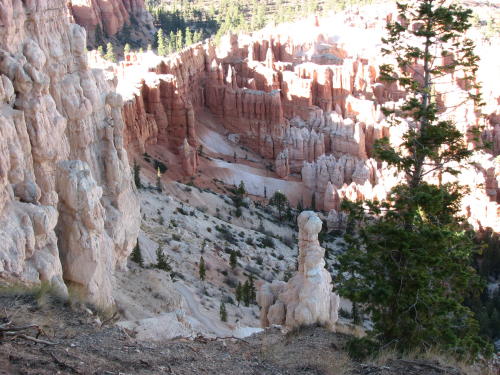
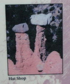
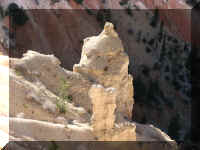
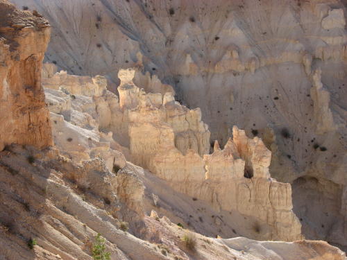
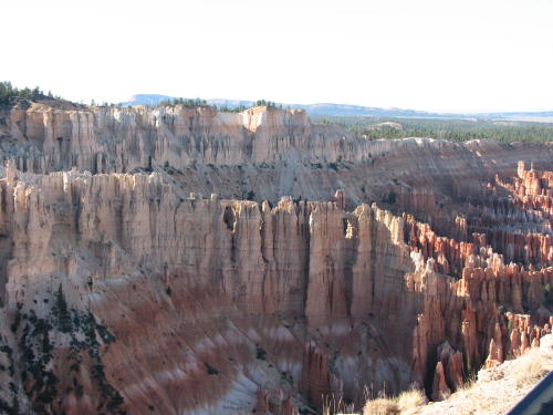
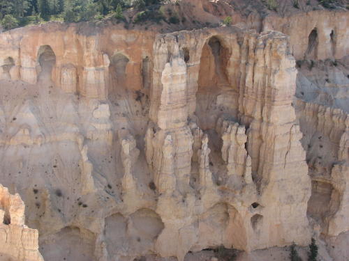
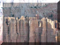
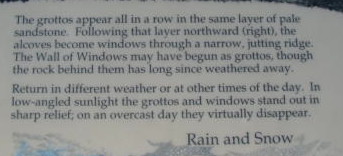
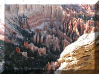
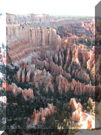
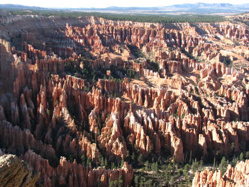
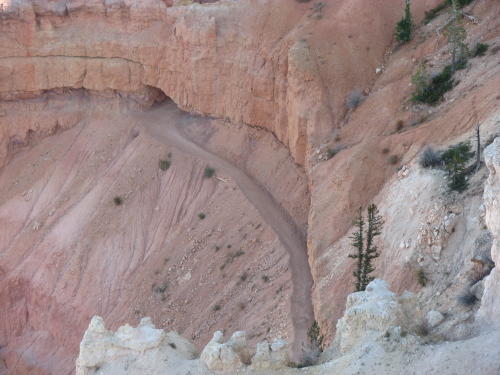
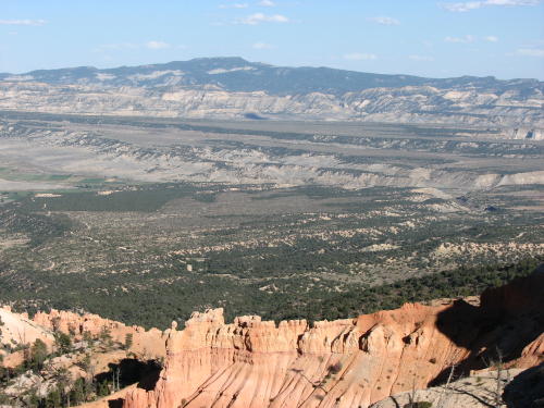
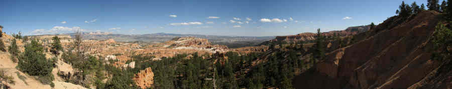
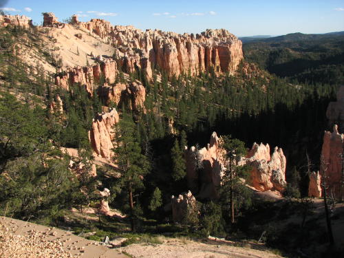
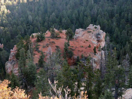
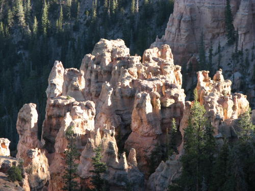
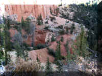
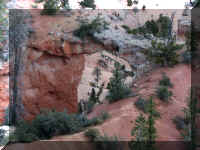
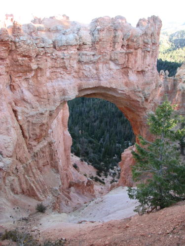
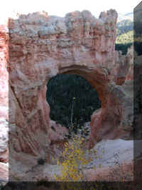
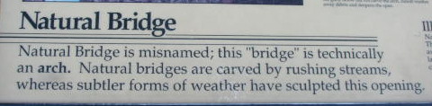
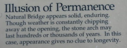
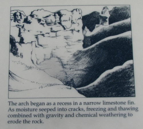
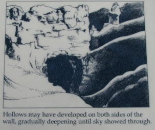
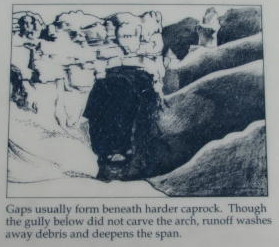
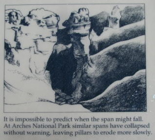
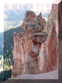
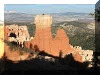
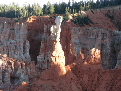
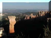
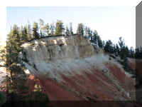
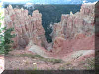
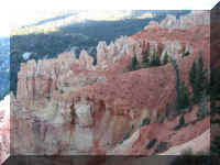
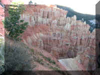
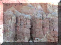
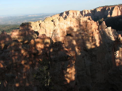
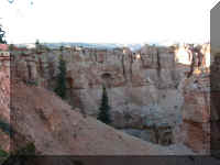
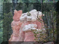
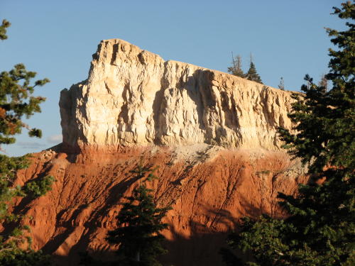
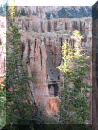
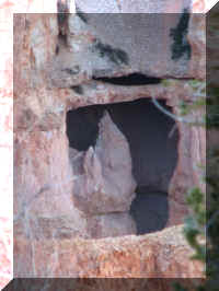
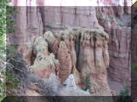
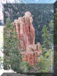
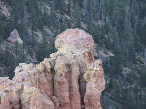
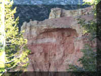
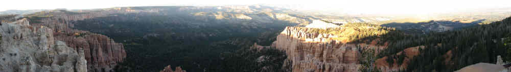
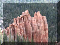
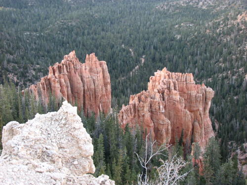
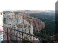
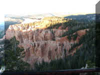
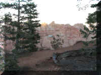
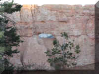
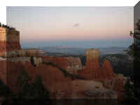
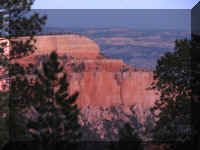
The park is not a canyon. Rather it is a series of
amphitheaters, each of which is carved at least 1,000 feet into chromatic
limestone. The park includes some of the Earth's most colorful rocks, which have
been sculpted by erosion into pillars called "hoodoos", and other
forms.
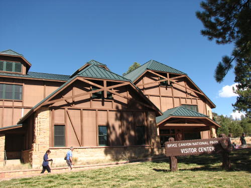
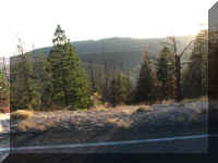
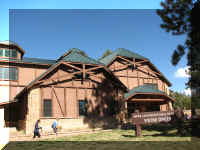 We arrived in the park about 2:00pm. We began our trip at the
Visitor Center, then drove the 39 mile round trip park road.
We arrived in the park about 2:00pm. We began our trip at the
Visitor Center, then drove the 39 mile round trip park road.
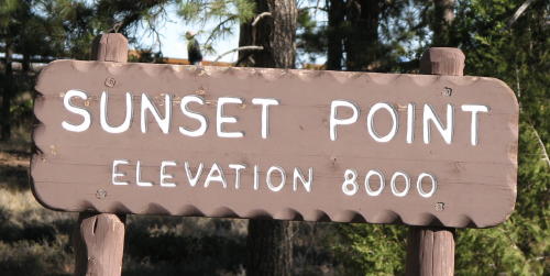
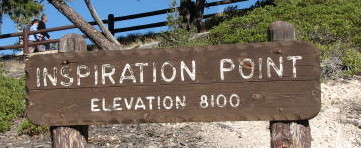
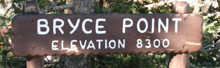
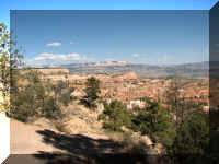
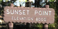
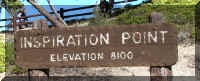
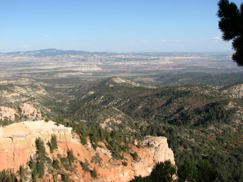
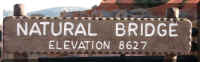
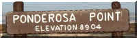
Our photographs are posted in groups organized by view point
location. We started at the visitors center and stopped at the viewpoints in
order.
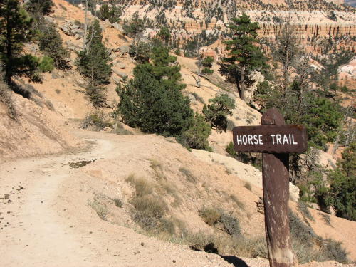
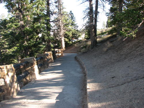
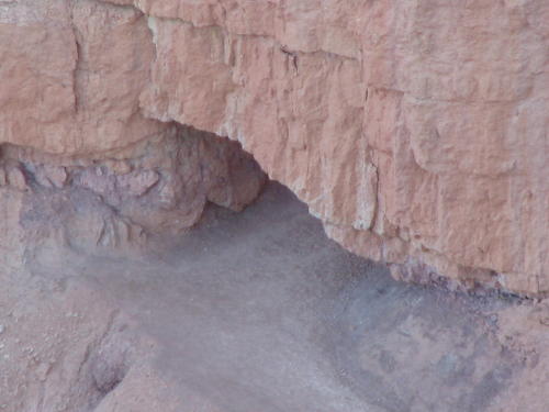
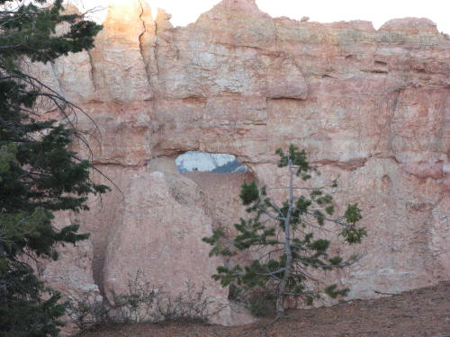
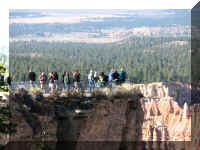
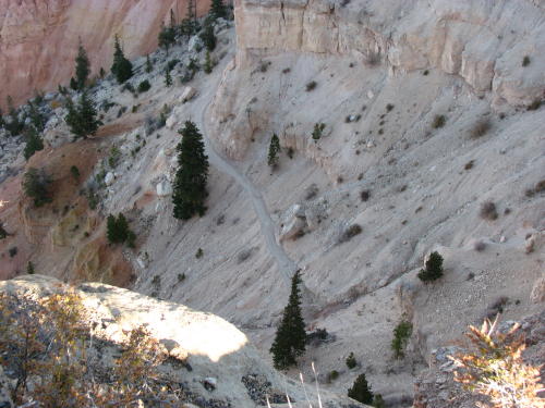
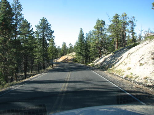
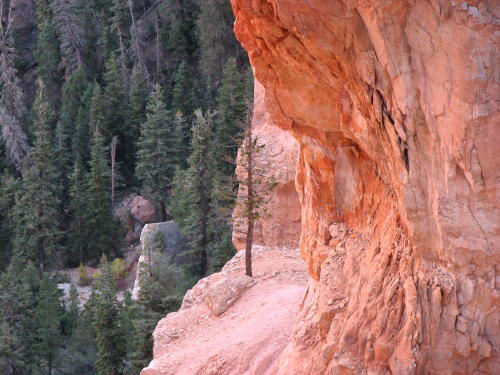
Sometimes the best location to make a photograph from is on a
horse trail . . .

. . . just watch where you walk.
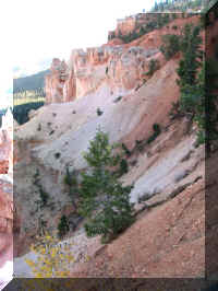
Even trees like to walk around and enjoy the beauty of Bryce Canyon.
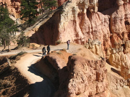

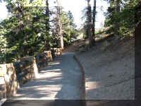
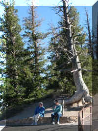
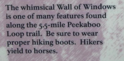
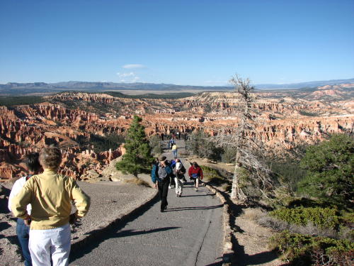
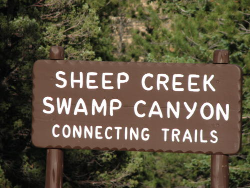
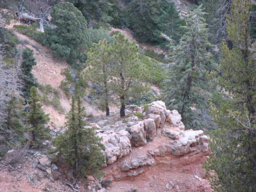
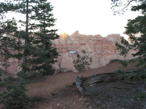
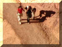
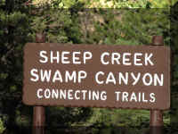
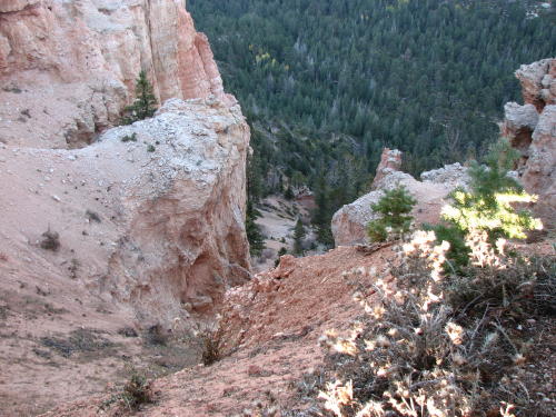
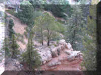
Hiking trails . . .

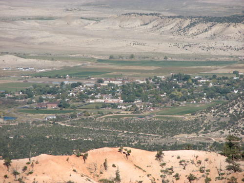
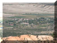
The town of Cannonville is in the valley.
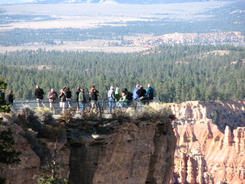
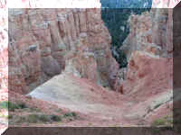
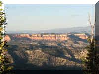
 Views
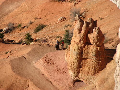
at an unnamed pull-off . . . parking for hikers.
Views
at an unnamed pull-off . . . parking for hikers.
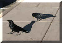
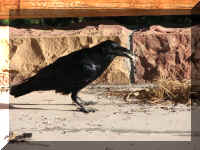
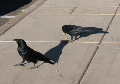
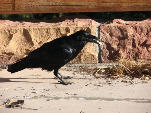
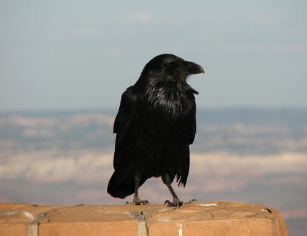
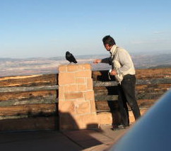
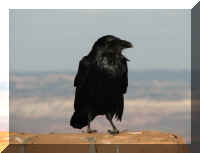
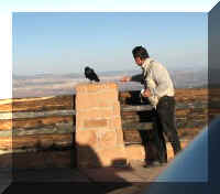
The crows were not afraid of the park visitors. In addition to a
place to beg for food, the wind was depositing good nest making material against
the railing.
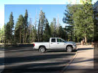 We
did not have to share parking lots with many people. We were late enough in the
day that attendance at Bryce Canyon was very light.
We
did not have to share parking lots with many people. We were late enough in the
day that attendance at Bryce Canyon was very light.
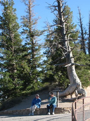
 < This tree looks lonesome.
 The challenge, how close can I get.
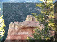
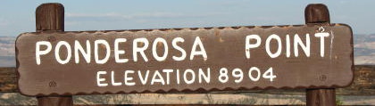
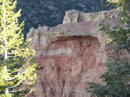
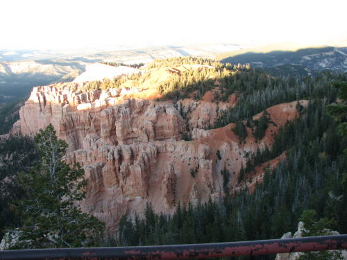
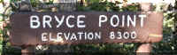
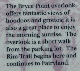
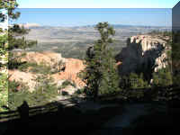
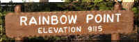 This is the last lookout point on the route.
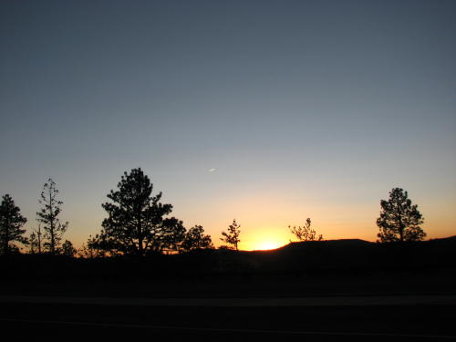
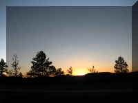
The end of our day arrived.
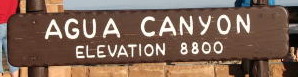
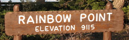
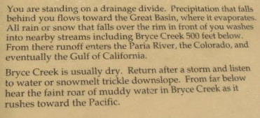
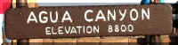
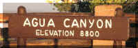 We stopped at Agua Point to wait for the sunset. As we waited, we read on the
map that they recommend that you drive straight to Rainbow Point and then stop
at the other viewpoints on your way back. That way, all of the turnouts are on
your right. That would be best in the high tourist season when traffic was
heavy.
We stopped at Agua Point to wait for the sunset. As we waited, we read on the
map that they recommend that you drive straight to Rainbow Point and then stop
at the other viewpoints on your way back. That way, all of the turnouts are on
your right. That would be best in the high tourist season when traffic was
heavy.
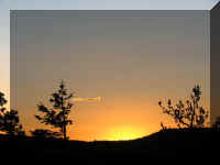
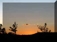
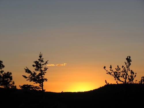
 < Behind us, looking East . . .
Another stop on the way out of the park . . .
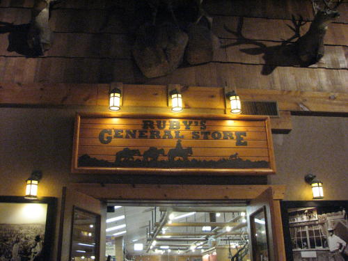
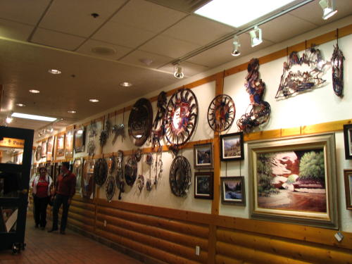
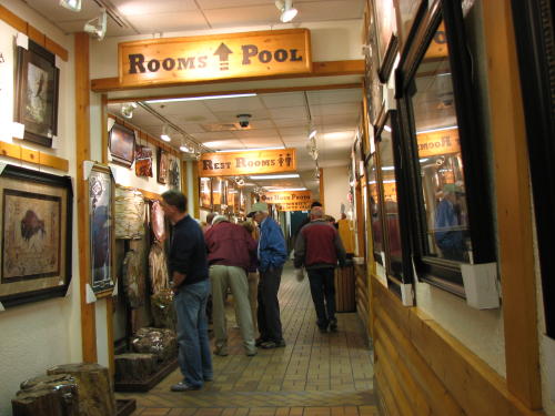
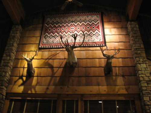
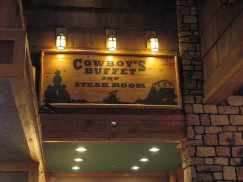
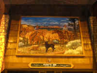
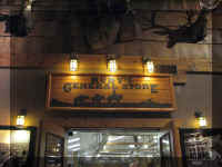
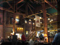
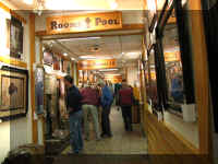
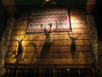
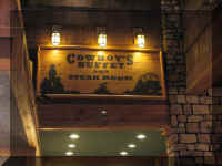
A friend told us to walk through Ruby's Inn just for fun. They
have been hosting visitors to Bryce Canyon since 1916. It is on Highway 63,
close to the entrance to Bryce Canyon National Park. It was an interesting and very busy place.
We spent about six hours in Bryce Canyon National Park. In deference to
the approach of winter weather farther down our route, we allowed one day. We
could have easily spent more time here. If you are a hiker, it would be fun to
walk among the Hoodoos.
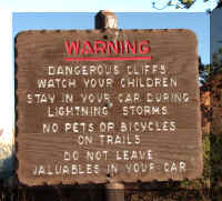
The park is open all year. The main geological features of the park are
easily seen from the numerous roadside viewing areas. You should be aware the
park is on an 8,000 to 9,000 foot plateau and allow for adjustments to altitude.
Admission is $20 per
private vehicle which allows entrance for seven days. We used Fred's Golden Age
Pass and got in free.
GO
BACK TO > > > Pacific Northwest - 2008
Top of Page

 Bryce
Canyon National Monument was established in 1924, it officially became a
National Park in 1928. The 55 square mile park is best know for the
beautiful rock spires and the dark night sky. An American Indian
name for the area translates as 'red rocks standing like men in a bowl-shaped
canyon.'
Bryce
Canyon National Monument was established in 1924, it officially became a
National Park in 1928. The 55 square mile park is best know for the
beautiful rock spires and the dark night sky. An American Indian
name for the area translates as 'red rocks standing like men in a bowl-shaped
canyon.'