
Arches National Park - 2008 . . .
on our
route from the Pacific Northwest
Updated: 11/30/08


Our photographs on this page are organized, in most cases, in the order they were made. Many of the 2,000 formations were not in a designated viewpoint so are nameless. We will note them when names are available or known to us.
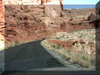
This sign was a reminder to be alert near the rock.
Our second stop was at the Park Avenue Trail viewpoint.

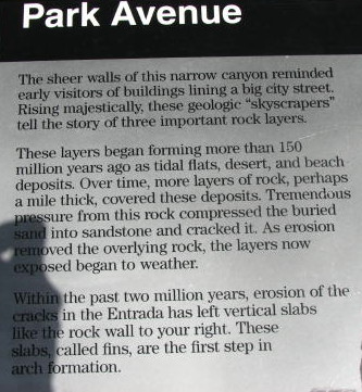
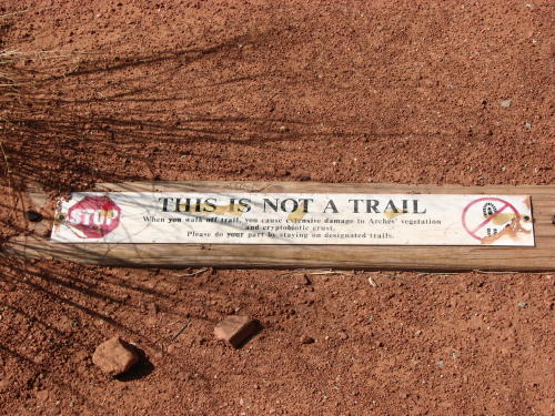
These signs reminded people to stay on designated trails.
Our next stop . . .
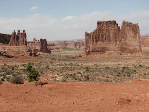
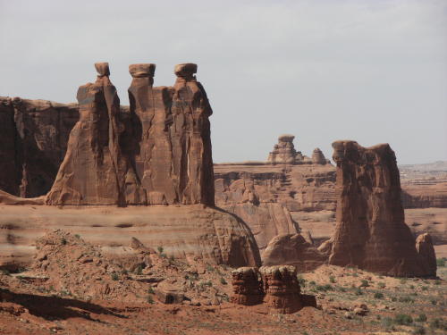
Tower of Babel Sheep Rock Courthouse Towers
A closer look at Sheep Rock . . .
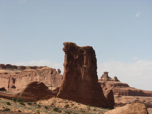
Along the way . . .
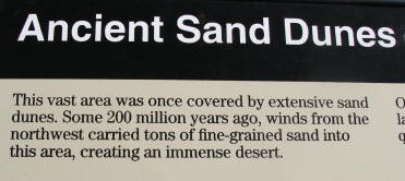

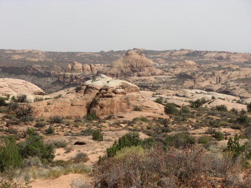
Farther down the road . . .
Our first look at The Windows Section . . .
Another look at The Windows Section.
On the spur road headed to Garden of Eden area we spotted these climbers ending their day of climbing.
The Garden of Eden
A side road ended at The Windows Section. You could see the "windows" better from a distance.
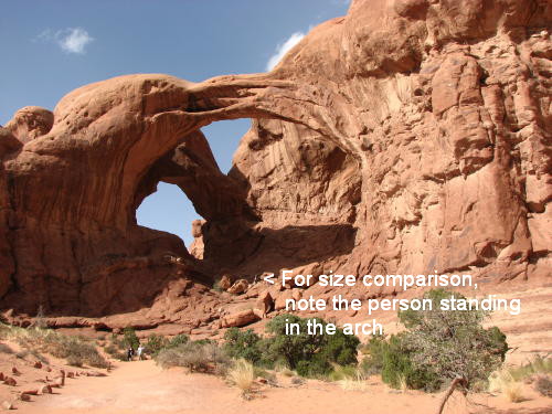
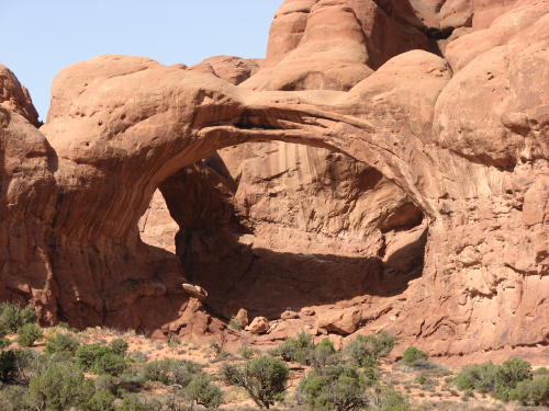
A side view of Double Arch. We walked the relatively flat, sandy trail leading to the base of the two giant arch spans which are joined at one end.
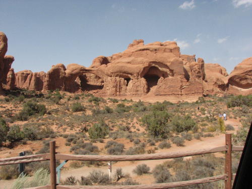
With a little imagination, you can see a key.
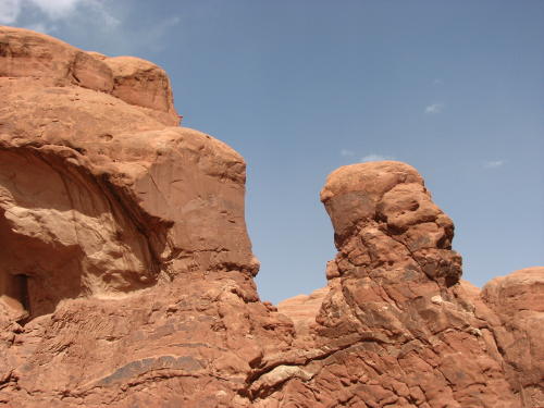
There is no doubt in Fred's mind that this looks like a head and face.
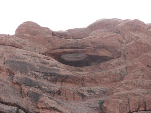
This one was difficult to find due to the distance from the road. But, Mary Lou finally found it. Thanks to the zoom lens on our camera, we see it better on our computer than we did with our naked eye.
Traveling again . . .
Another view of the Garden of Eden area.
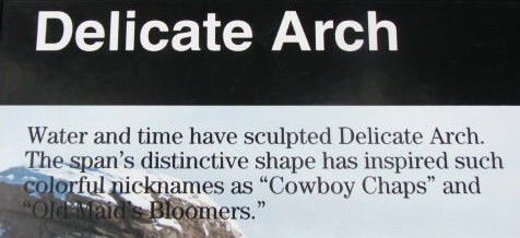

There are several gravel roads in the park for public use if you had a four wheel drive vehicle. This one was at the Delicate Arch viewpoint.

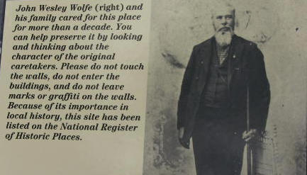
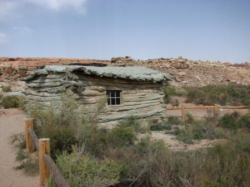
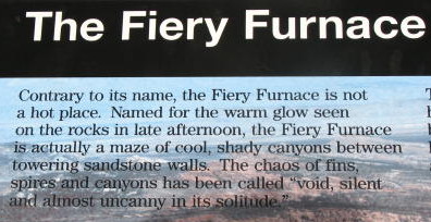

On the move again . . .
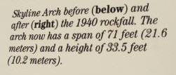

This is an article posted on the camp bulletin board about the arch that fell in August, 2008
Solar panels on the roof . .
.
The amphitheater at the campground was very unusual. Mary Lou thought we should wait for the evening program but we didn't.
This arch was at the rear of the amphitheater.
The Devils Garden Trail parking area was vary busy because people could walk the trail for hours.
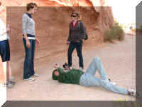
On the way back to the park entrance, we thought we would drive on one of the four-wheel drive roads. The roads were clearly marked and in very good condition. While we were on the road, we talked with a ranger who drove down the road to make a pit stop.
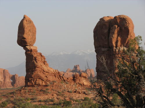
As we drove back to the main road, we could see the snow topped La Sal Mountains in the distance.
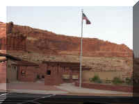
The statues outside of the Visitor Center are the work of sculptor Matthew Gray Palmer of Friday Harbor, Washington. They include a life-size desert bighorn sheep ram, ewe and lamb, as well as two ravens, a whiptale lizard and a collard lizard.
A relief map of the park was displayed.
A gift shop, a fake arch and displays were in the building. Along with lots of information on the geology of the park.
This map shows the only road in the park - one way in, one way out.
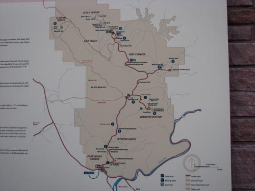
The park is open year-round. We saw many features from the road, and took short foot trails to others. Visitors are urged to wear sturdy shoes with enough tread to give good traction, protect their skin with a hat, long-sleeved shirt and sunscreen and bring water to stay hydrated.
We spent six hours in the park. We arrived just after lunch and left about 6:30pm. We avoided the strenuous trails. We saw everything we wanted to see. One very tired gentleman we met at the Devils Garden Trail said his long walk was disappointing because the late afternoon sun was in the wrong place. He said he had spent a lot of energy for nothing! The Visitor Guide has an article on photography at Arches, suggesting the best times of the day to see or photograph the various formations.
Admission to the park is $10 per private vehicle, the entrance pass is good for seven days. Fred's Golden Age Pass got us in free again!
GO BACK TO > > > Pacific Northwest - 2008