 Idaho
Falls, ID was an interesting place. In the mid-1800 the town was built along one
of the few fording points in the upper Snake River. As the city's need for
electricity grew, the river became the source of that power.
Idaho
Falls, ID was an interesting place. In the mid-1800 the town was built along one
of the few fording points in the upper Snake River. As the city's need for
electricity grew, the river became the source of that power.On the Road in Idaho and Oregon - 2008 . . .
on our
route to the Pacific Northwest
Updated: 11/30/08
Idaho
Falls, ID was an interesting place. In the mid-1800 the town was built along one
of the few fording points in the upper Snake River. As the city's need for
electricity grew, the river became the source of that power.


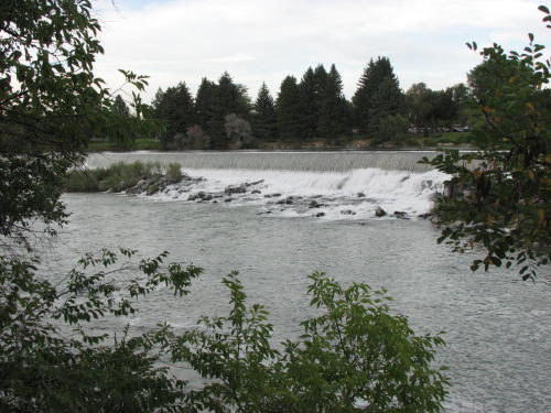
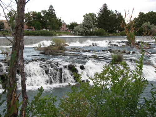


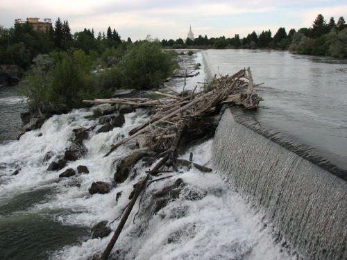
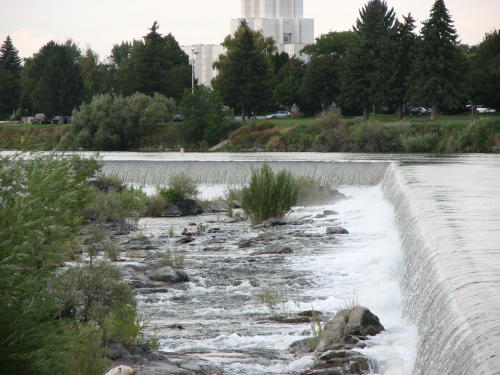
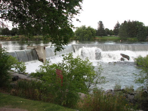
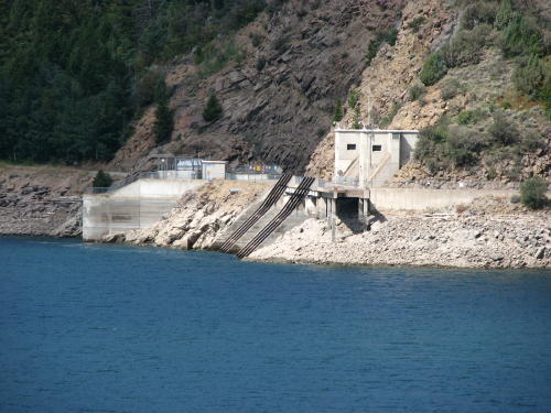
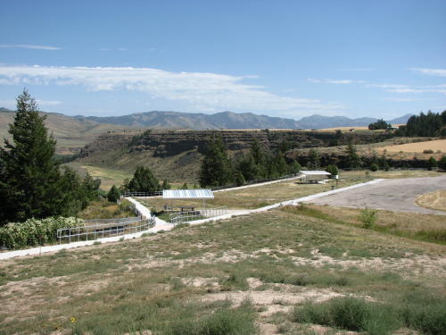
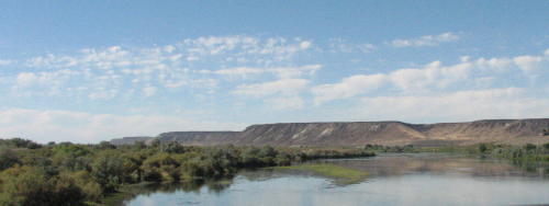
The Idaho Falls waterfalls are created by a diversion dam for a hydroelectric power plant. The original dam was installed in 1909. The dam we see today was contracted in 1982.
It all starts at the dam. This is a dam to control the water only - it contains no turbines. The power generation comes from barrel/bulb turbine generators under the edge of the falls. The system generates approximately 50% of the city's electric power needs. Above the falls, the Snake River is tranquil.

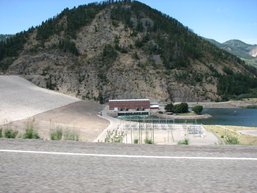
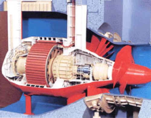 We
were not familiar with this method of generating electricity. Mary Lou searched
the Internet for information on this type of system. She found it uses is a
hydro turbine in which the entire generator is mounted inside the water
passageway as an integral unit with the turbine. (For more
information go to www.free-flow-power.com)
We
were not familiar with this method of generating electricity. Mary Lou searched
the Internet for information on this type of system. She found it uses is a
hydro turbine in which the entire generator is mounted inside the water
passageway as an integral unit with the turbine. (For more
information go to www.free-flow-power.com)
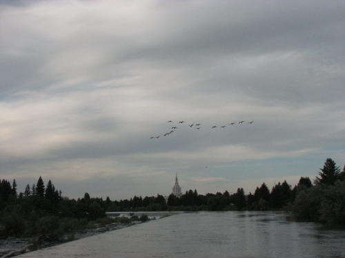
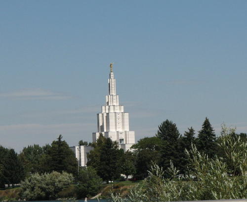 Since
its completion and dedication in 1945, the Idaho Falls Temple of the Church of Latter Day Saints
has been a part of the landscape and a tourist attraction. Unlike regular
chapels where Sunday meetings and other activities are held, this temple is
reserved for faithful members to worship and make sacred covenants. A newly
remodeled visitors center is located on the grounds east of the temple.
Since
its completion and dedication in 1945, the Idaho Falls Temple of the Church of Latter Day Saints
has been a part of the landscape and a tourist attraction. Unlike regular
chapels where Sunday meetings and other activities are held, this temple is
reserved for faithful members to worship and make sacred covenants. A newly
remodeled visitors center is located on the grounds east of the temple.
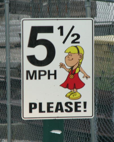
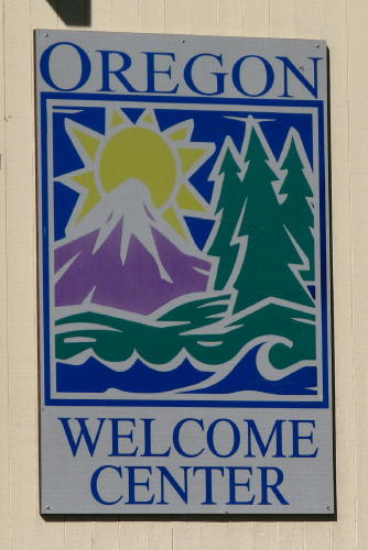
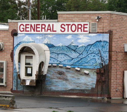
This sign greeted us as we entered our campground in Idaho Falls. It got your attention.
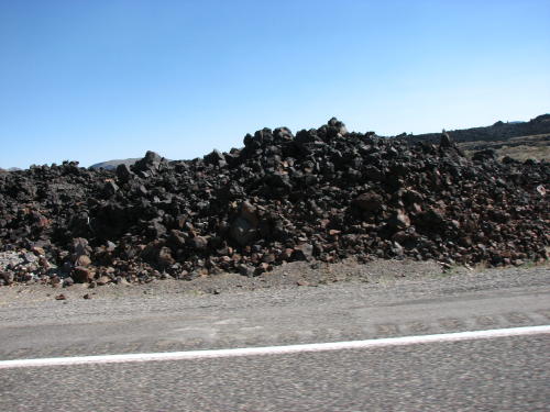
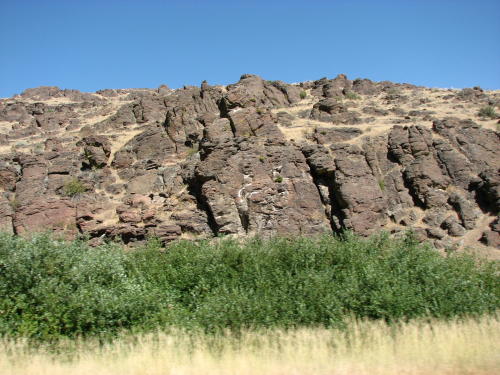
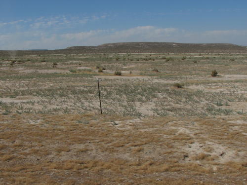
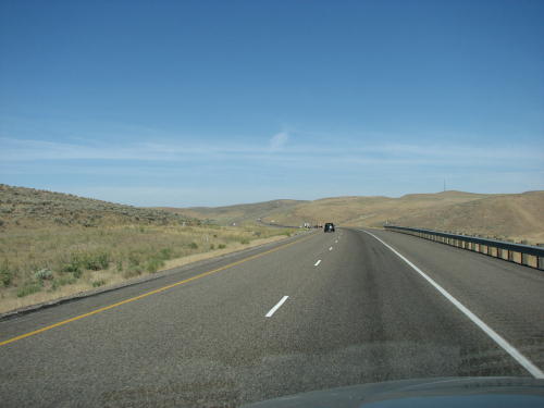
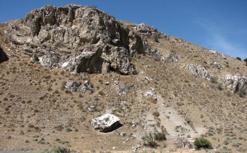
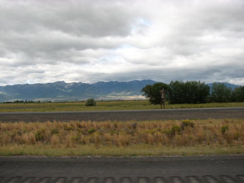
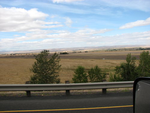
Idaho has beautiful terrain.

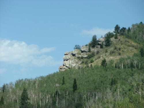 Fred
saw this rock configuration and named it "Grumpy".
Fred
saw this rock configuration and named it "Grumpy".
Fortunately, he made the photograph before we were to far past it to recognize it.
Maybe he should write the Idaho Highway Department and suggest establishing a "Grumpy" tourist attraction.
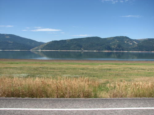
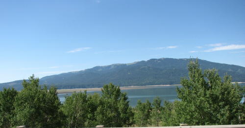
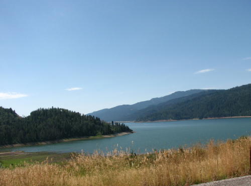
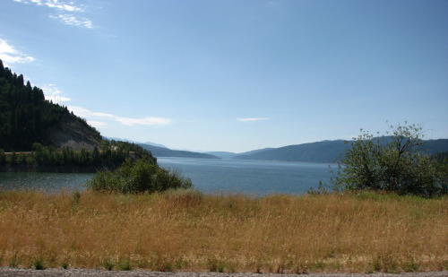
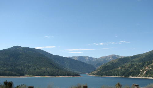
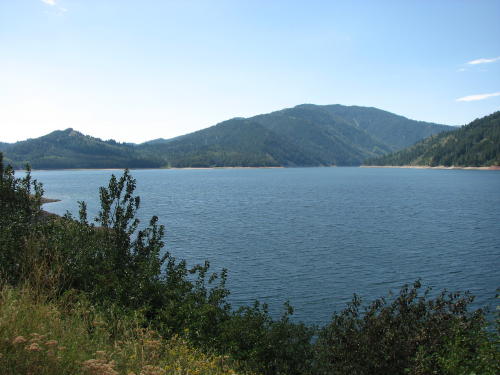
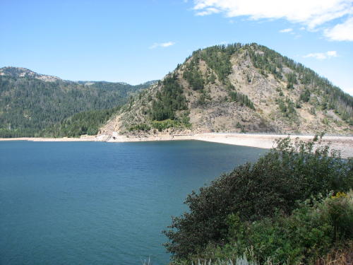
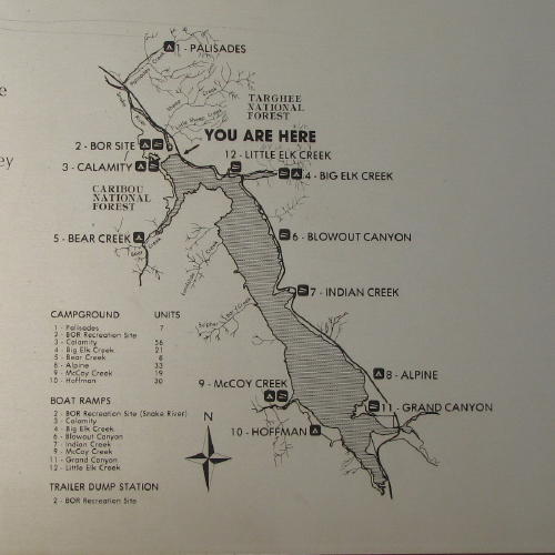
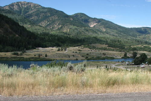
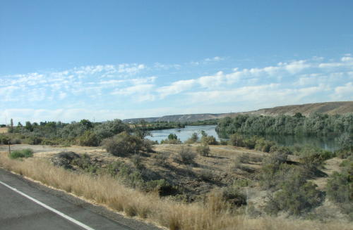
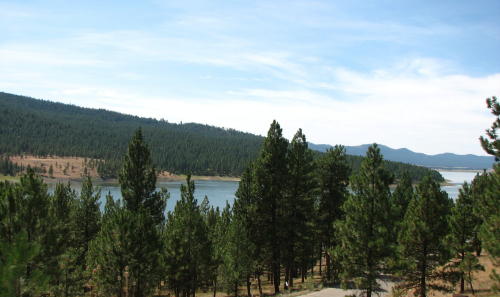
We drove beside the Palisades Reservoir for a long time. It offered fantastic views.

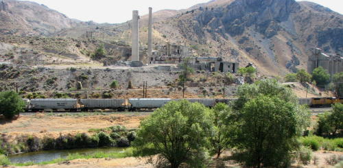
Power generating plant . . .
Below the dam the Snake River feeds the valley with water for irrigation.
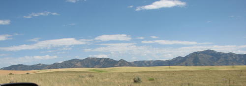
The Sawtooth Mountains in the distance . . .
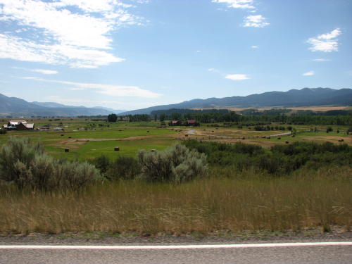
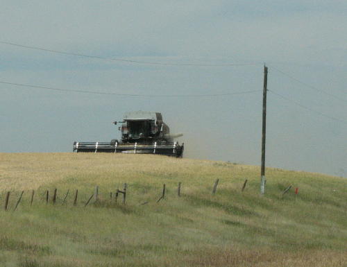
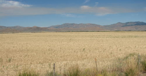
Harvest time in the area . . .
What a view these people must have from their front window.

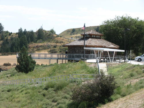
This was a very 'welcomed' and nice rest area. The view was great and a picnic area was available on the lower level.

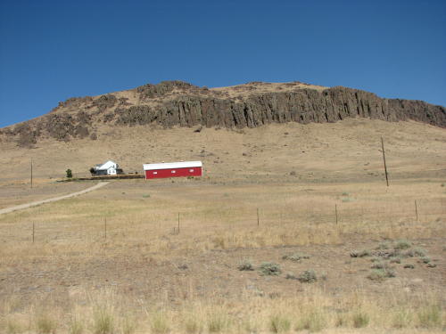
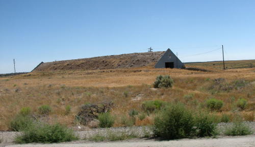 Many ranches have buildings with roofs covered with dirt.

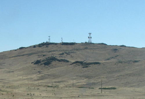
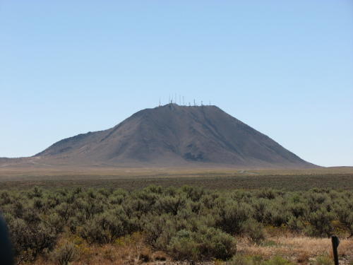 If
there was a big hill or mountain is an area of primarily flat land, you could
bet the top would be filled with antennas. This one had a dozen antennas.
If
there was a big hill or mountain is an area of primarily flat land, you could
bet the top would be filled with antennas. This one had a dozen antennas.
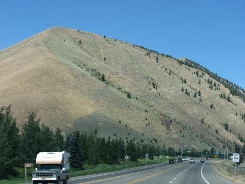
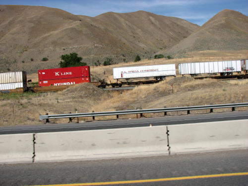
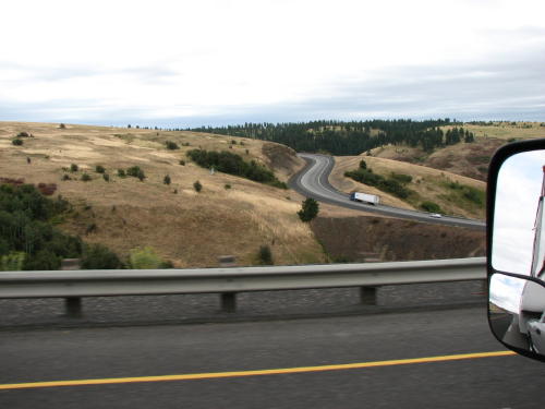
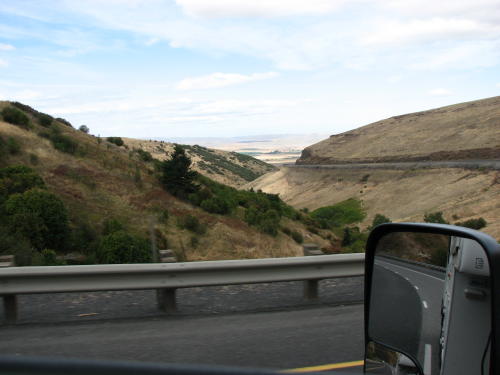
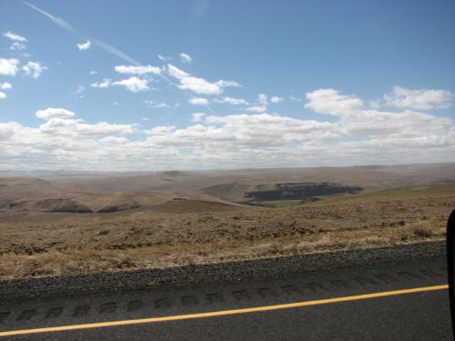
A nice ride . . .
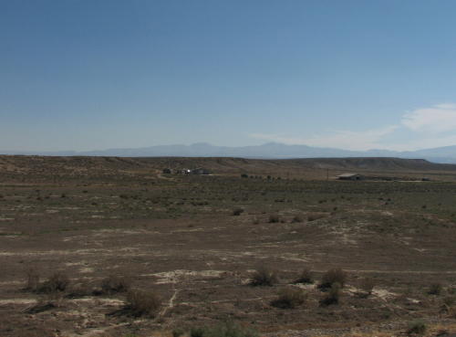
 In
the middle of a desert area we saw this sign and several white building off in the
distance.
In
the middle of a desert area we saw this sign and several white building off in the
distance.
It was in this area that we discovered the Experimental Breeder Reactor 1 - 2008.
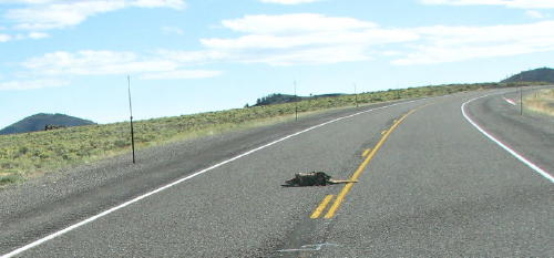
Roadkill . . .
 Leaving
Craters of the Moon National Monument - 2008
we found lava and ash on the left side of the road and dry prairie on the right
side of the road.
Leaving
Craters of the Moon National Monument - 2008
we found lava and ash on the left side of the road and dry prairie on the right
side of the road.
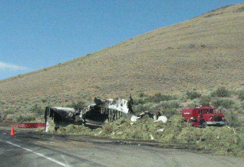 Most
of the smoke we observed at our campsite in Craters of the Moon was from a forest fire.
Most
of the smoke we observed at our campsite in Craters of the Moon was from a forest fire.
Some smoke, we were told, originated from this truck fire a couple miles from the park.
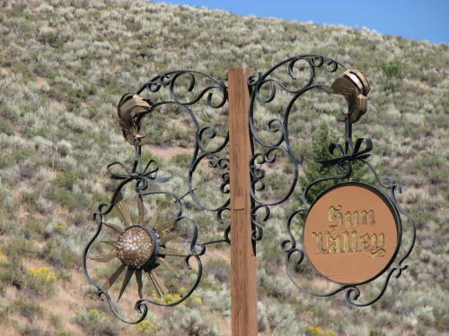
A RVer in the campground in Idaho Falls strongly suggested we visit Sun Valley. We left the HHII on a rest area on our route and drove the 30 miles north on Idaho Route 75 to Sun Valley.


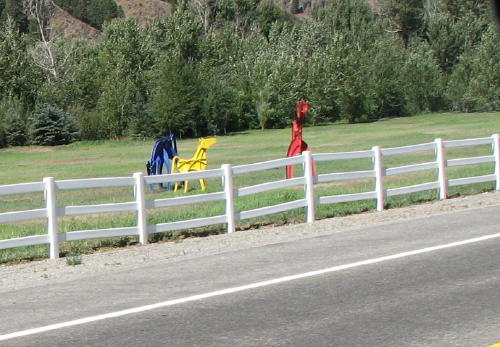
These animals were real thin . . . and . . . they stood still so long, someone painted them.
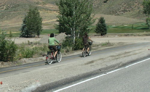
 In
Sun Valley, bicycles and small golf cart type vehicles are used frequently.
Their bike paths, like some others we saw, had a yellow line separating the
bicyclists.
In
Sun Valley, bicycles and small golf cart type vehicles are used frequently.
Their bike paths, like some others we saw, had a yellow line separating the
bicyclists.

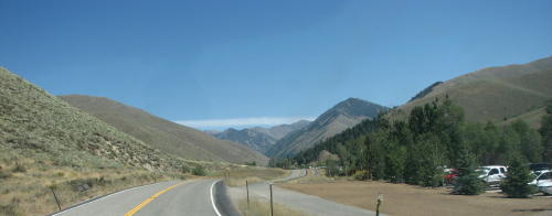
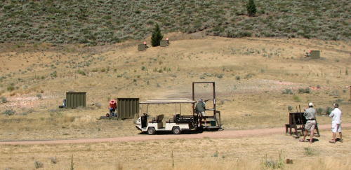
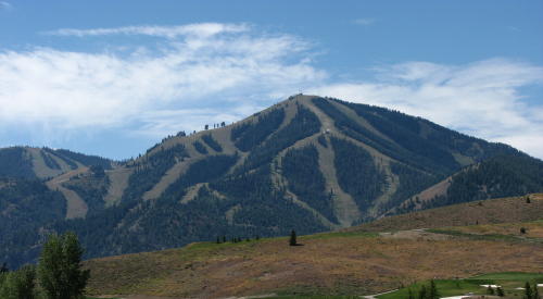
We continued outside town and turned around at the skeet shooting area. When we headed back to town we saw some ski slopes.
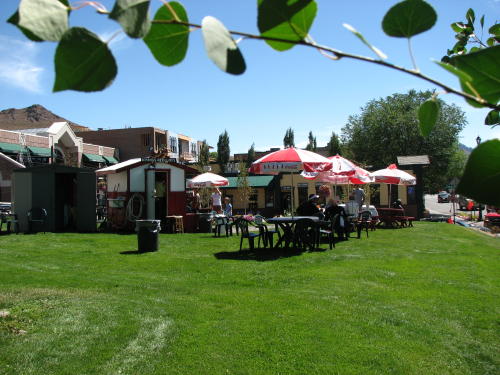
 Mary
Lou suggested we stop at the 'restaurant' on a hill in town.
Mary
Lou suggested we stop at the 'restaurant' on a hill in town.


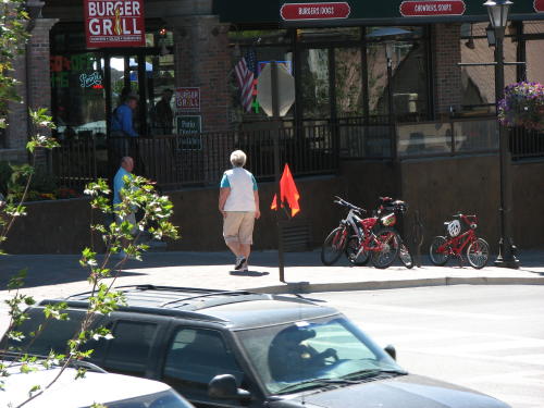
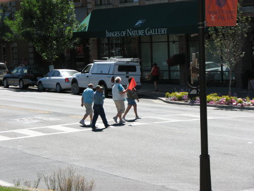 Several
cities in the area have a pedestrian safety flag system. At each corner a supply
of orange flags is available for pedestrians to use. The pedestrian carries an
orange flag when crossing the street and deposits the flag at the next corner.
Several
cities in the area have a pedestrian safety flag system. At each corner a supply
of orange flags is available for pedestrians to use. The pedestrian carries an
orange flag when crossing the street and deposits the flag at the next corner.
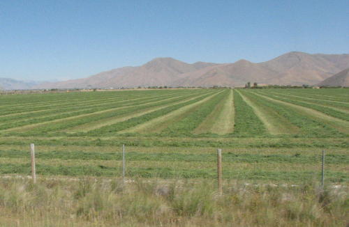
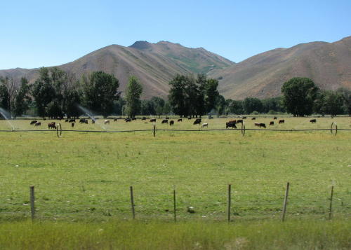
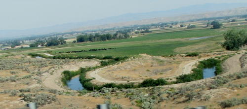
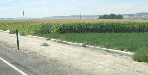
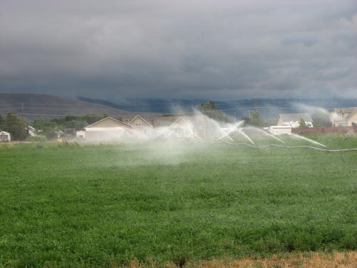
Fields are irrigated while the stock graze.
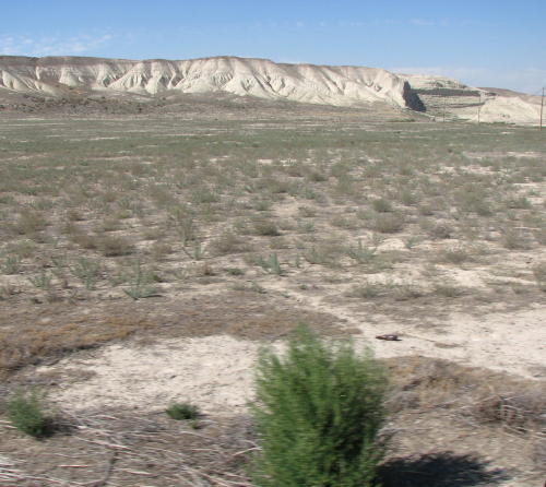
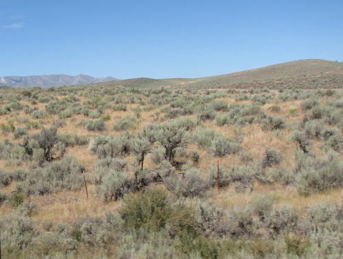 If not irrigated, it looks like this.
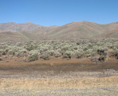
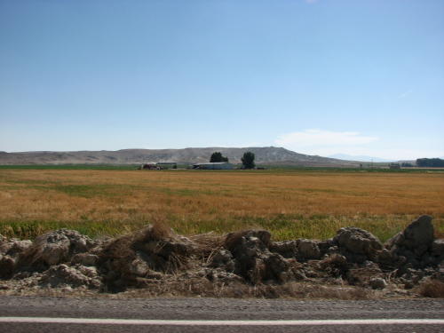
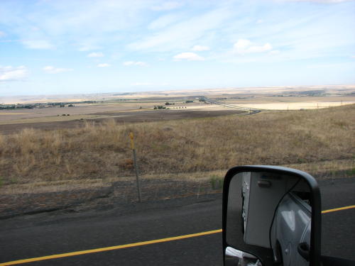
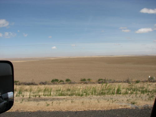
A lot of farmland/ranchland . . .

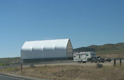
The highway department uses these huge plastic roofed building to store road maintenance supplies.
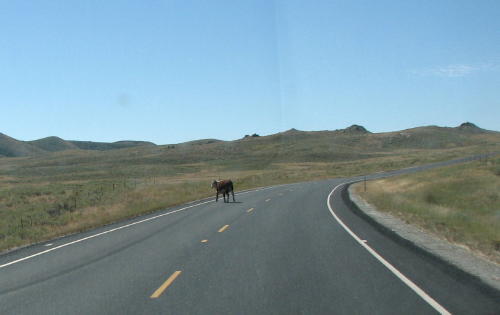
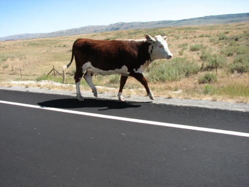
This cow was in a trot when we passed it. When we called '911', the dispatcher told us they already had someone coming out to take it home.
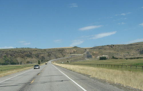
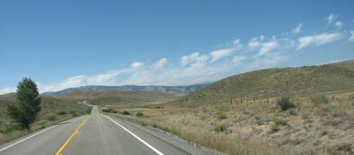
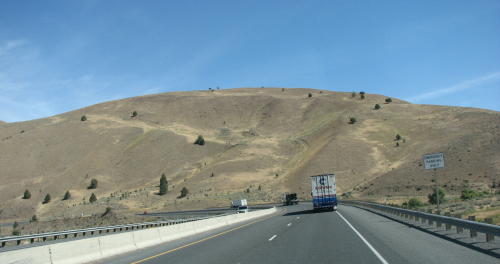
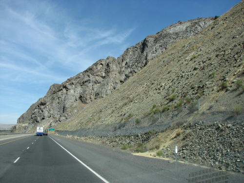
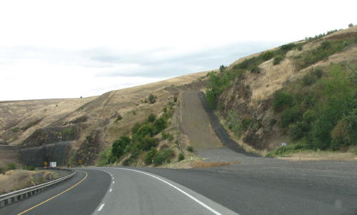
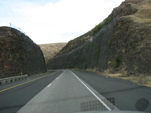
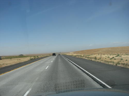
The road ahead . . .
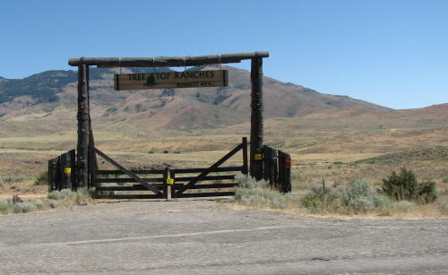
It was interesting to see the variety of entrance gates.
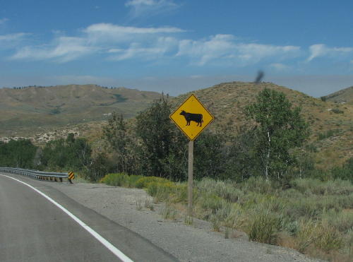
Every once in a while you would see a house and more antennas.
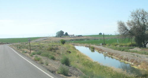
Irrigation is needed . . . water is moved in ditches, concrete troughs or pumped.
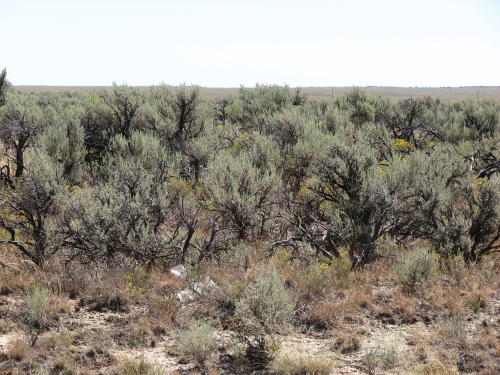
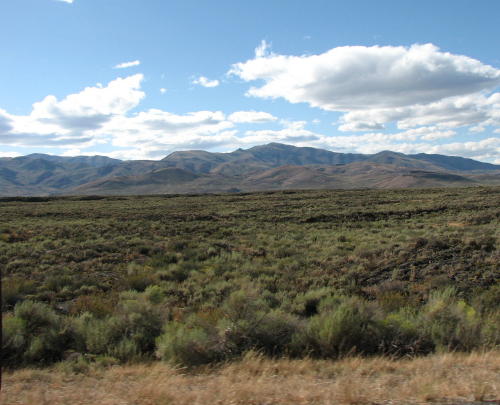
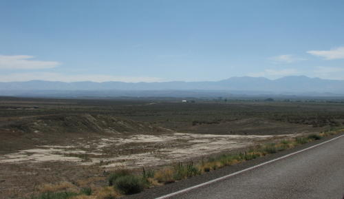
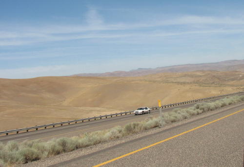
Wide open range . . .
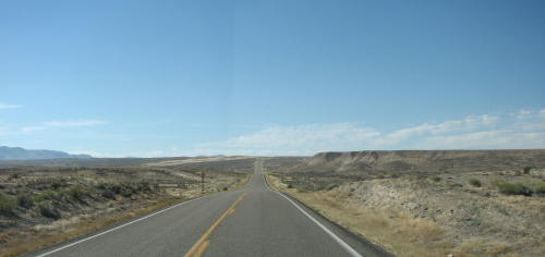
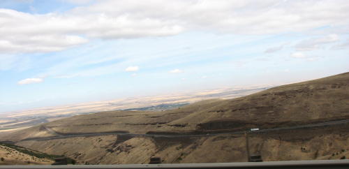
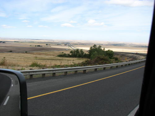
More straight road . . .


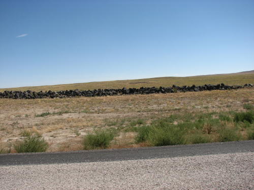
The fence wire stopped some of the rocks.
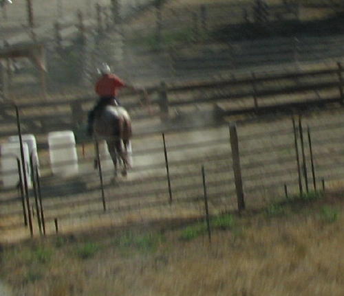
We just caught this 'cowboy' working his horse around barrels in a corral near the highway.
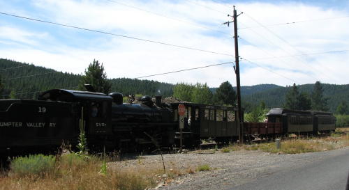
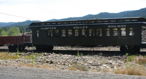
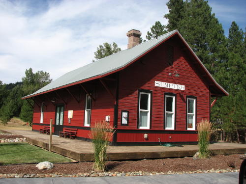
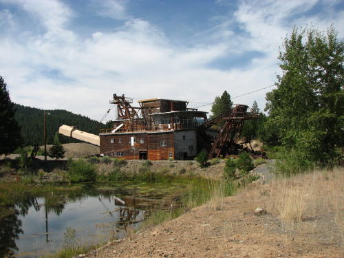
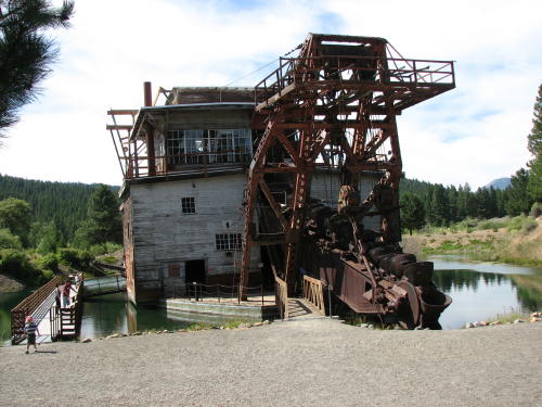
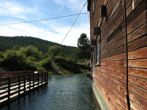
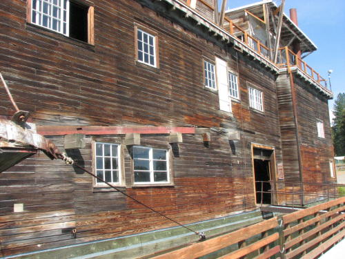
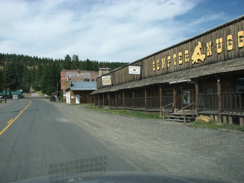
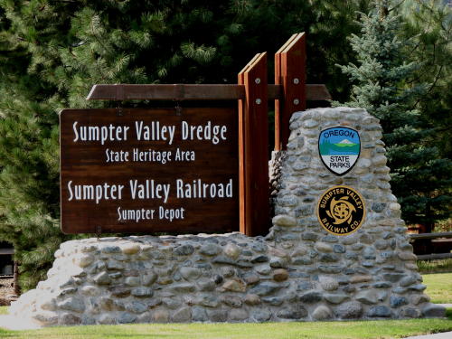 The
ride to Sumpter was nice. We passed the Sumpter Valley Railway train on our way
to the Sumpter Valley Dredge State Heritage Area. The train station was next to
the dredge.
The
ride to Sumpter was nice. We passed the Sumpter Valley Railway train on our way
to the Sumpter Valley Dredge State Heritage Area. The train station was next to
the dredge.
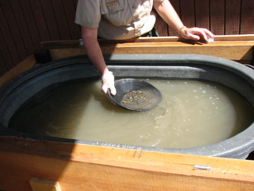
The Ranger panned gold for Mary Lou.
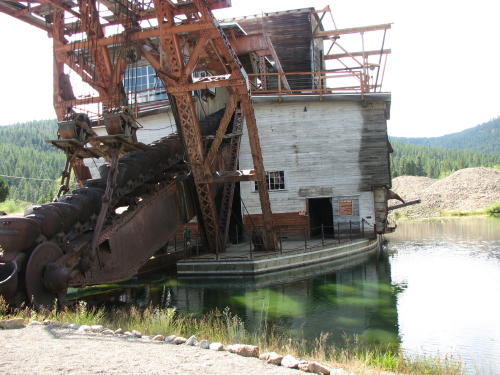
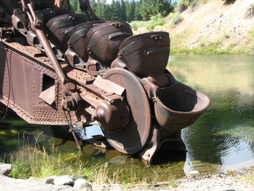
The Sumpter Valley Dredge was build by the Sumpter Valley Dredge Company in 1935 and operated until 1954. During operation, the dredge dug up more than $4 million dollars worth of gold. We were told that it mined the valley, then the dredge was updated and made more efficient. So, they turned it around and dredged back over the valley.

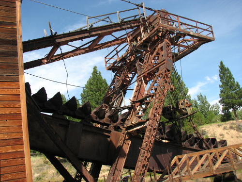
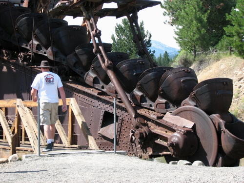 This
guy walking by the buckets is a good size comparison.
This
guy walking by the buckets is a good size comparison.

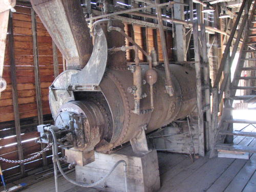
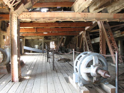
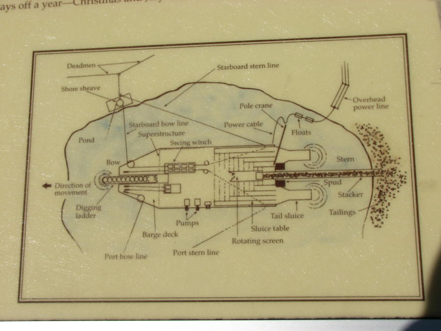
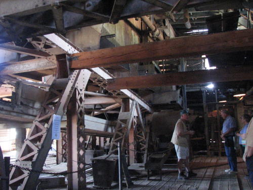 A
volunteer did a good job explaining the workings of the dredge. The restoration
is only partially completed. The second story containing the control room, is
also going to be reconstruction.
A
volunteer did a good job explaining the workings of the dredge. The restoration
is only partially completed. The second story containing the control room, is
also going to be reconstruction.
As it happened, there was an older gentleman listening to the volunteer who had been on the dredge as an 8 year old little boy. He remembered the noise making it impossible to hear anything.
The town of Sumpter is probably very happy the dredge was located in their town.
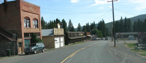

The only thing left of the bank after the town burned in 1917 is the vault.
If you would like to buy some Alpacas, we will give you the phone number.

Seen parked in Baker City . . .
This drive-up window in Baker City seemed appropriate for the area.
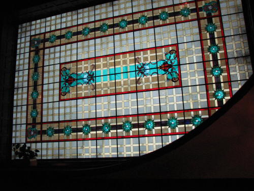
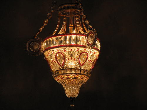
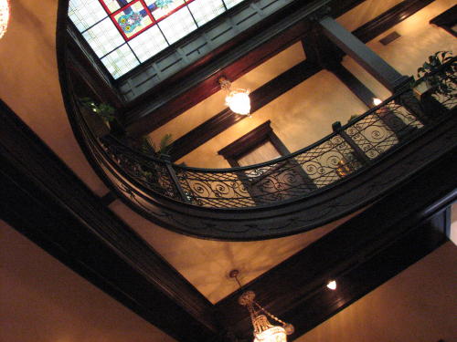
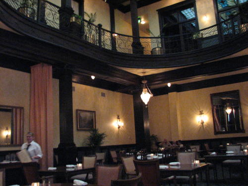
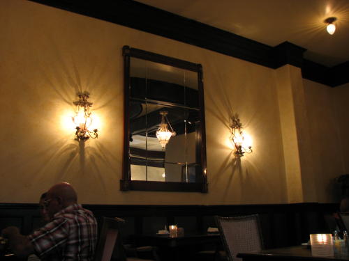
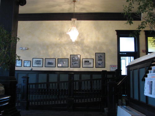
 We
had a great dinner at the restored 1889 Geiser Grand Hotel in Baker City, OR.
The hotel reflects the rich history of Baker City's legendary gold rush past.
Points of interest are the stained glass ceiling, the crystal chandeliers and
the curved balcony.
We
had a great dinner at the restored 1889 Geiser Grand Hotel in Baker City, OR.
The hotel reflects the rich history of Baker City's legendary gold rush past.
Points of interest are the stained glass ceiling, the crystal chandeliers and
the curved balcony.

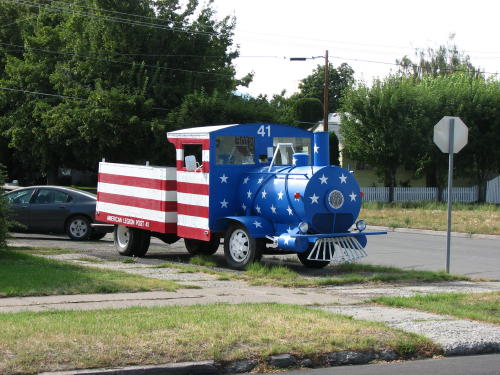
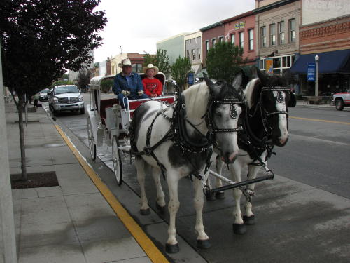
You could ride around town 'in style'.

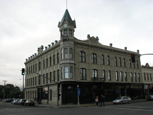
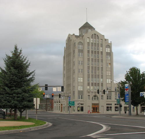 Another
attraction in town was the Baker Tower - the tallest building in Oregon east of
the Cascade mountains.
Another
attraction in town was the Baker Tower - the tallest building in Oregon east of
the Cascade mountains.
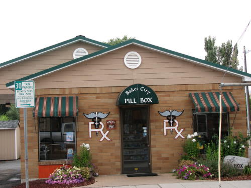
What a neat name for a pharmacy.
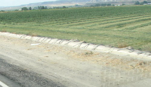
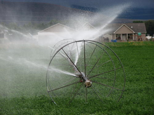
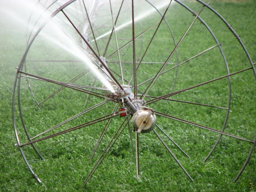
We were amazed at all the irrigation required in this part of the country. Here is a close look at a system.
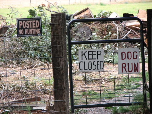 Our
campground in Baker City had an entire field where dogs could run. The dogs we
saw running in the field were having a great time.
Our
campground in Baker City had an entire field where dogs could run. The dogs we
saw running in the field were having a great time.
Your dog was safe in the field because they also posted a "No Hunting" sign.
Along the road.
Cabbage Hill . . . We were warned six miles ahead of Cabbage Hill that a 3.5 mile 6% grade was coming. We received three warnings. Photographs of the views don't do them justice, it felt like you could see forever.
Back on reasonably flat road . . .


The road ahead . . .
GO BACK TO > > > Pacific Northwest - 2008