
National Parks of Canada - 2005
Updated: 11/09/08
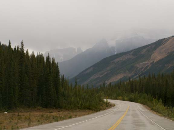
Jasper National Park
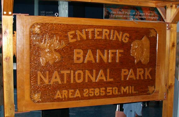
This hand-carved double faced sign was used in the 1960/1970 time frame at the boundary of the two parks. You pay by the day when you enter the park - we guessed three nights. The cost was $16 per day, expiring at 4:00pm the last day of the pass.
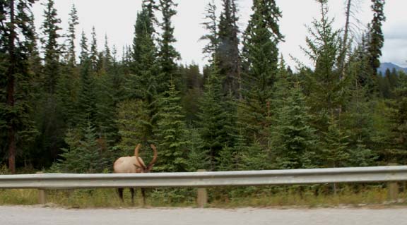 When
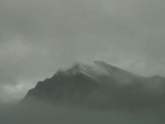
we arrived in Jasper, it was a rainy day. However, the day cleared and we able
to enjoy a drive to some area in the park after setting up camp. Between town
and the campground, vehicles were parked all over the road. People were watching
an elk eat near the guard rail.
When
we arrived in Jasper, it was a rainy day. However, the day cleared and we able
to enjoy a drive to some area in the park after setting up camp. Between town
and the campground, vehicles were parked all over the road. People were watching
an elk eat near the guard rail.
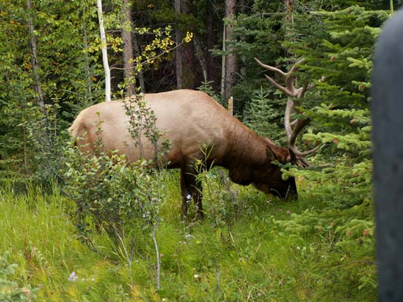
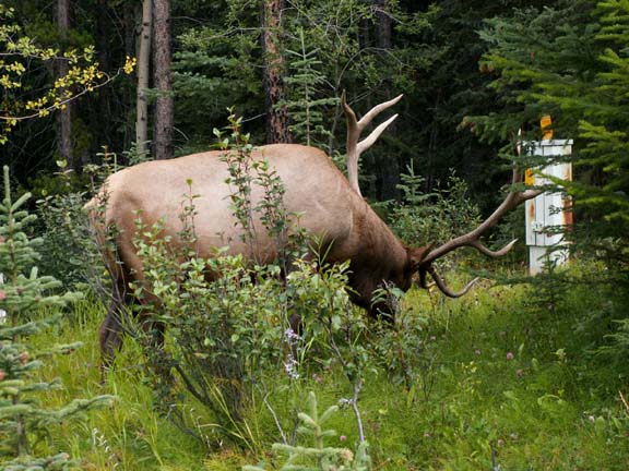
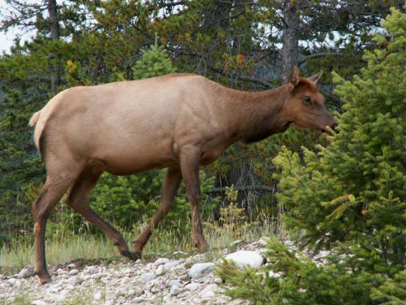
On our way to the Maligne Canyon, we stopped to photograph another elk. When he turned his head you could see the large rack.
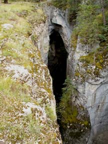
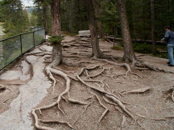
Maligne Canyon was very narrow but deep. The walk along it was not the easiest we have been on. These tree roots were an obstacle. A heavy guard rail kept people out of the canyon. The volume of water rushing through the canyon was fast enough you could hear it.

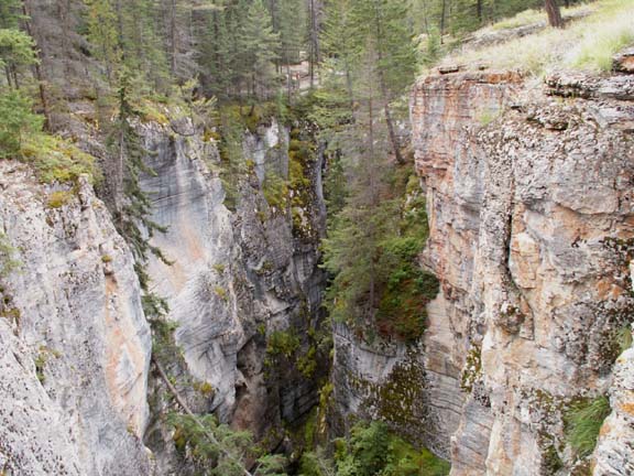 For
an idea of the size of the canyon, there is a woman standing at the rail almost
in the top third, center of the photograph.
For
an idea of the size of the canyon, there is a woman standing at the rail almost
in the top third, center of the photograph.
Swirling rocks carved out this area.
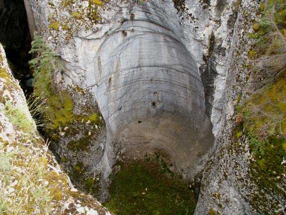
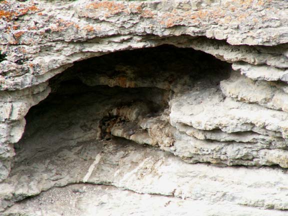
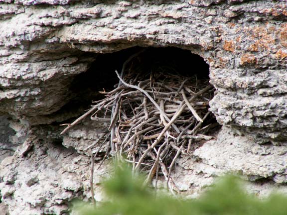
The steep vertical sides of the canyon make it safe habitat for rodents and flying creatures.
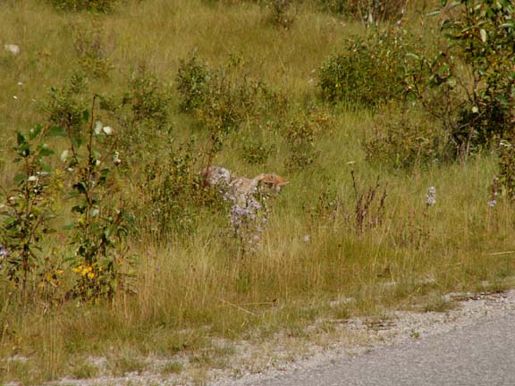
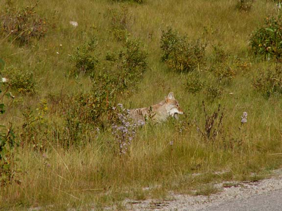
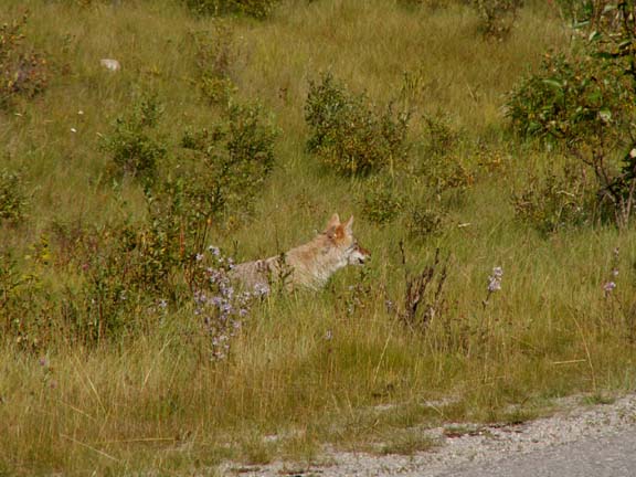
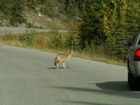
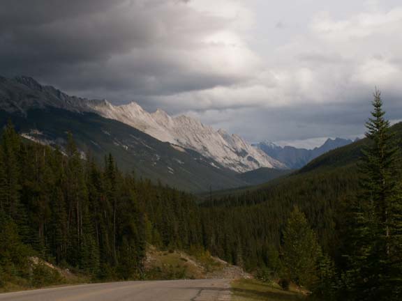
There were a couple roads leading deeper into the park. The road to the canyon continued on toward Medicine Lake. We stopped along the way to watch a coyote have lunch. He was standing in the grass looking down - into a hole. He pounced a couple times and came up with a rodent lunch. It was in his mouth, a couple gulps it was gone and he was on his way.
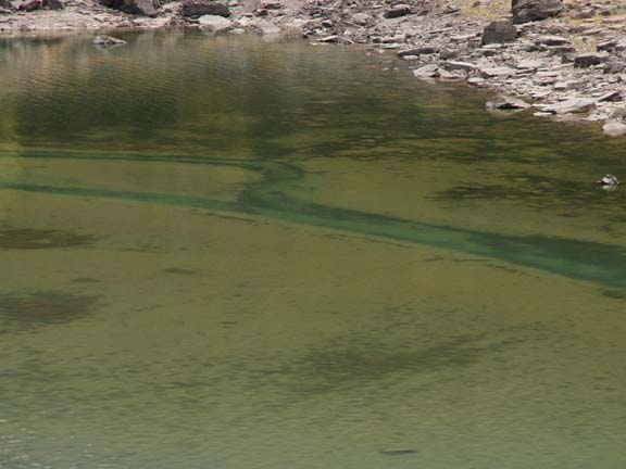
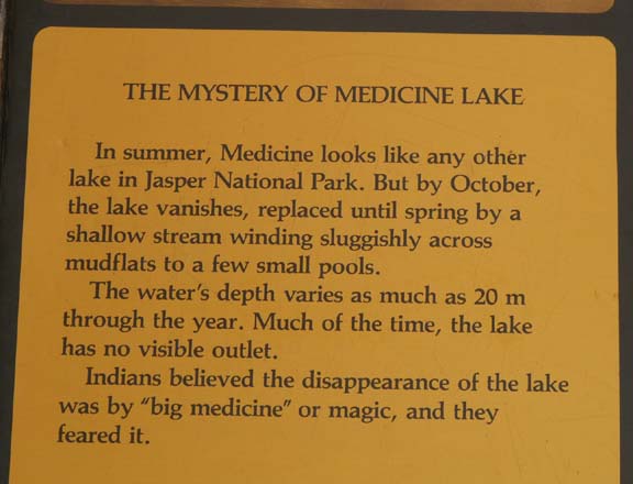 Medicine
Lake was an attractive lake with a story. The opposite ends of the lake looked
very different.
Medicine
Lake was an attractive lake with a story. The opposite ends of the lake looked
very different.
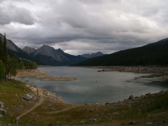
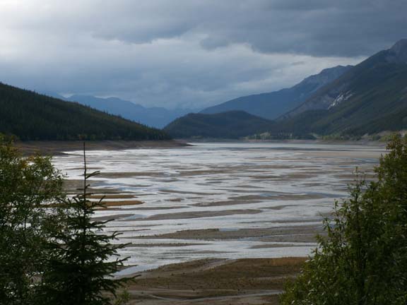
The deeper end had very interesting color patterns in the water.

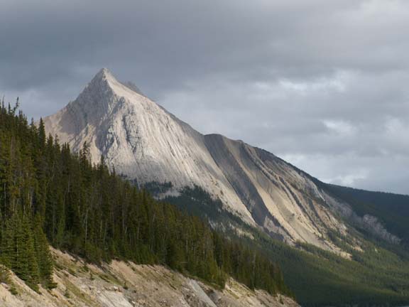
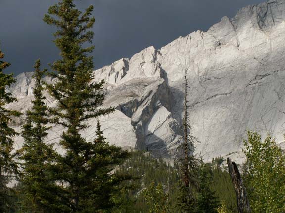
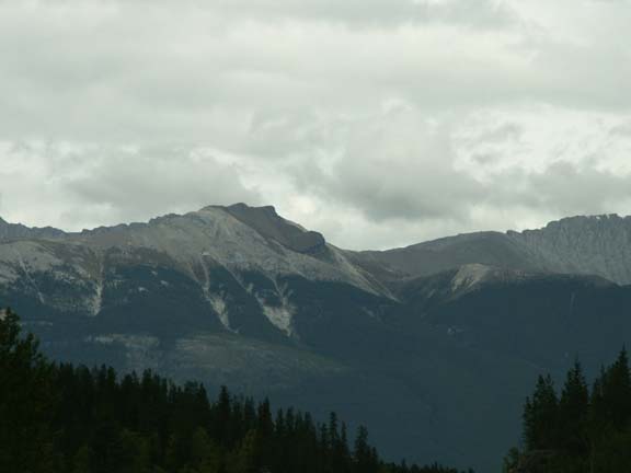
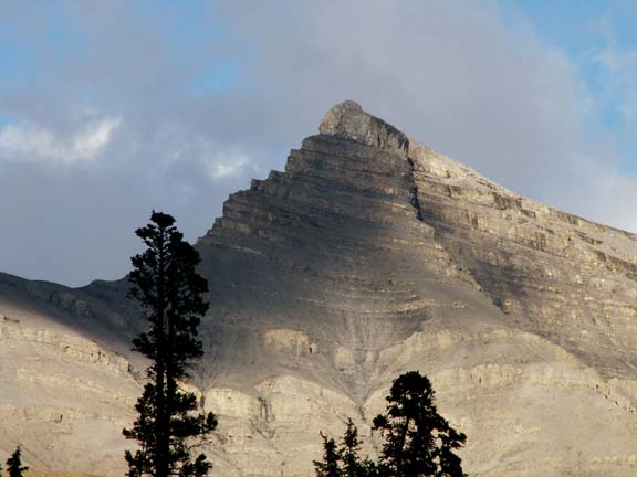
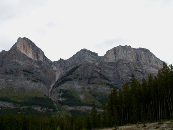
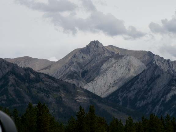
 The
Colin Range was beautiful.
The
Colin Range was beautiful.

 Mary
Lou still does not like the roads with no shoulder and no railing - especially,
when Fred is using the camera and driving.
Mary
Lou still does not like the roads with no shoulder and no railing - especially,
when Fred is using the camera and driving.
Lets see, how many times would we roll until we hit bottom?
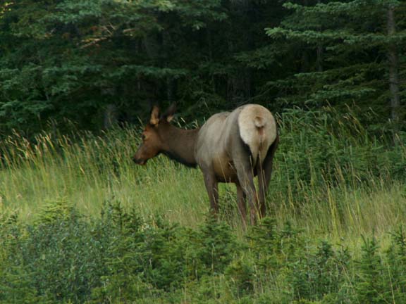
On the way back to town, we saw another elk eating next to the road. As we were stopped to photograph him from a distance, a mini-van pulled in front of us and opened the side sliding door. Of course, it startled the elk and he ran to the ridge and walked away.

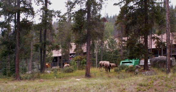 On
the way out of town after dinner, people stopped to see the elk grazing behind a
condo. They were moving up the hill by the time we got there.
On
the way out of town after dinner, people stopped to see the elk grazing behind a
condo. They were moving up the hill by the time we got there.
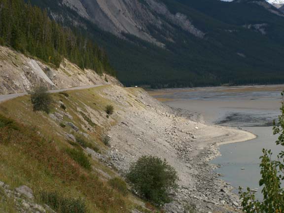
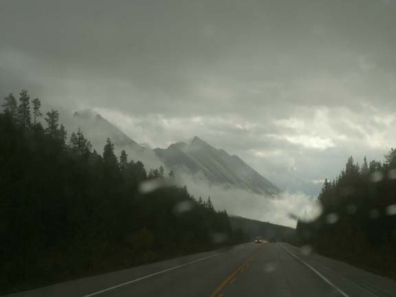
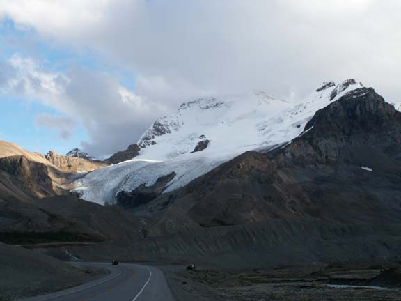
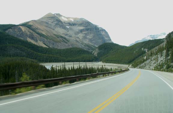
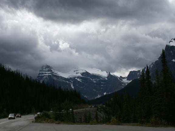
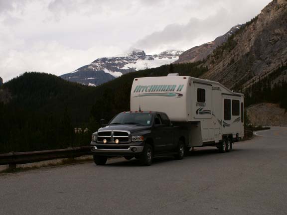
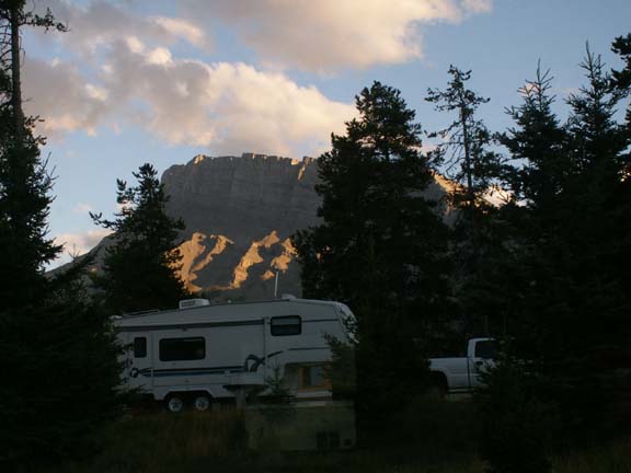
The next day we drove The Icefields Parkway toward the Columbia Icefield. It started a short distance from the campground. We hitched up the night before because rain was forecasted - and, it rained. It rained all the way to the Icefield Center. We drove several miles before seeing a mountain. Then, the weather cleared a little.


 Later
in the afternoon, the sky was a little blue. This was the mountain in front of
us entering our campground. Speaking of our campground - it was called Wilcox
Creek Campground. It had tight turns, small spots and was on the side of a
mountain. Overflow in the busy season was a parking lot at the Icefield Center -
some RVers went directly there and camped.
Later
in the afternoon, the sky was a little blue. This was the mountain in front of
us entering our campground. Speaking of our campground - it was called Wilcox
Creek Campground. It had tight turns, small spots and was on the side of a
mountain. Overflow in the busy season was a parking lot at the Icefield Center -
some RVers went directly there and camped.
 The
Icefield Center is a very nice looking and functional building. It uses both
common sense and new, innovative technology to reduce man's impact on this
environment. All potable water is used twice; multiple generators run
individually as power is required; the building is designed to expand and
contract allowing it to freeze during the winter months; waste reduction
practices are employed and light and sound pollution greatly reduced. Plants and
animals are protected.
The
Icefield Center is a very nice looking and functional building. It uses both
common sense and new, innovative technology to reduce man's impact on this
environment. All potable water is used twice; multiple generators run
individually as power is required; the building is designed to expand and
contract allowing it to freeze during the winter months; waste reduction
practices are employed and light and sound pollution greatly reduced. Plants and
animals are protected.
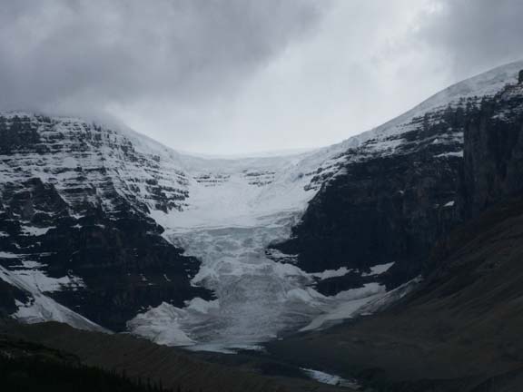
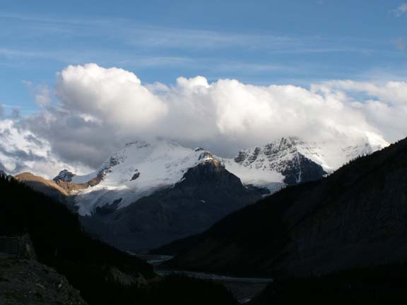
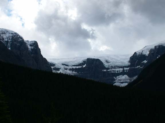
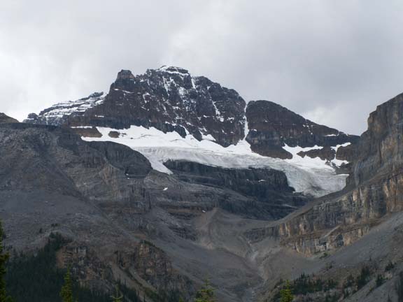
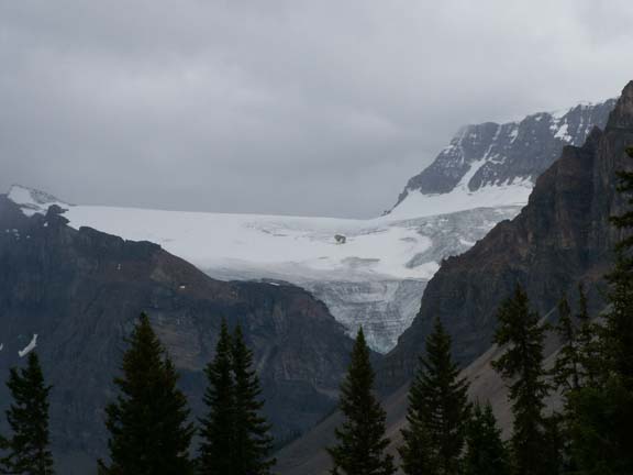
The Athabasca Glacier is directly across from the Icefield Center. The center faces several glaciers in an arch across the road and on both sides of the Athabasca Glacier.
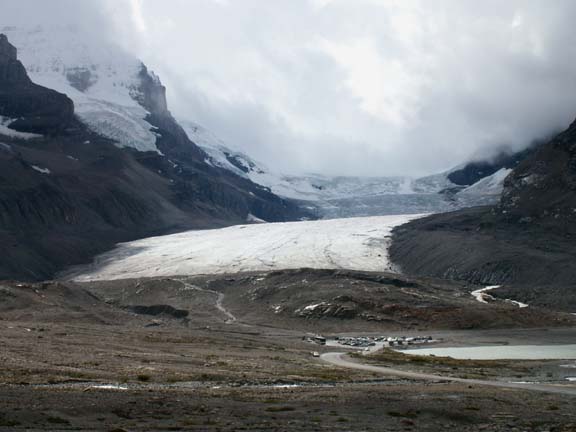
Athabasca Glacier
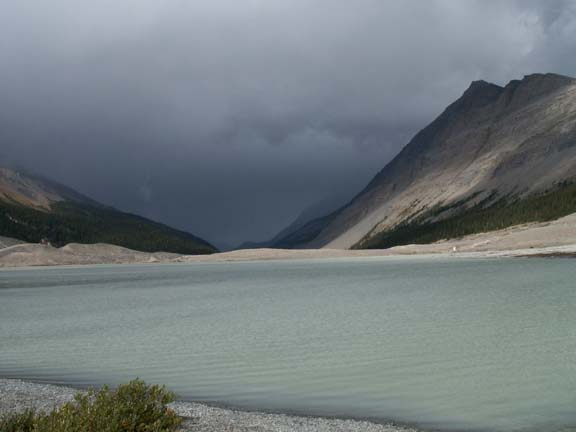 While
we were at the location near the glacier you can drive to in your own vehicle, a
storm was approaching. We thought surely our day was over . . . we did get a little more
rain - no storm. This is looking over the lake containing the glacier runoff -
nothing can live in it because of the silt. From this parking lot, a foot
trail gets you to the
glacier.
While
we were at the location near the glacier you can drive to in your own vehicle, a
storm was approaching. We thought surely our day was over . . . we did get a little more
rain - no storm. This is looking over the lake containing the glacier runoff -
nothing can live in it because of the silt. From this parking lot, a foot
trail gets you to the
glacier.
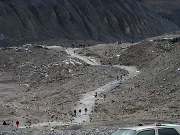
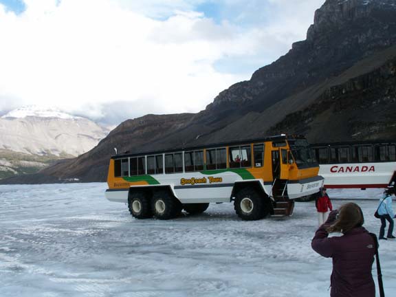
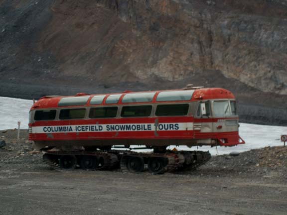
But . . . there is another way to get to the glacier. And, on it. A six-wheel drive all-terrain Snocoach. We rode the modern, $750,000 version. The older version was parked at the transfer point for comparison. The older ones were converted highway busses. The new ones are built for this use. The fee is $32 per person for the 1.5 hour glacier experience. Wear cold weather coats and good shoes. If you aren't prepared you will be cold and/or laying on the ice.
New
Old
 You
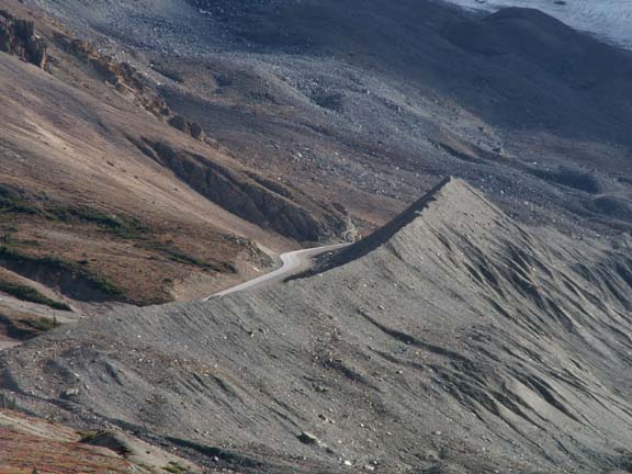
are driven from the Icefield Center on a highway bus on a asphalt road that
turns to gravel on the section of the glacial moraine that is unstable. This
road is to the left and on the edge of the lateral moraine. You are driven to a
transfer station where you board the six-wheel drive all-terrain Snocoach. What a
neat experience - the vehicle creeps along in low gear at walking speed.
You
are driven from the Icefield Center on a highway bus on a asphalt road that
turns to gravel on the section of the glacial moraine that is unstable. This
road is to the left and on the edge of the lateral moraine. You are driven to a
transfer station where you board the six-wheel drive all-terrain Snocoach. What a
neat experience - the vehicle creeps along in low gear at walking speed.

As you ride on the glacier, you get an 'up-close' look at the surface.
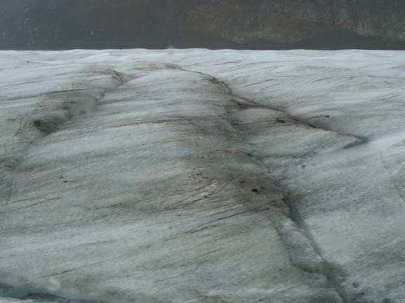

Unlike the crevasses made by movement,
these holes are made by water.
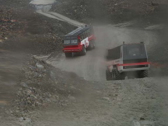
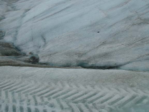
 On
top and on the road, you can see the tread marks where the busses have driven.
On
top and on the road, you can see the tread marks where the busses have driven.
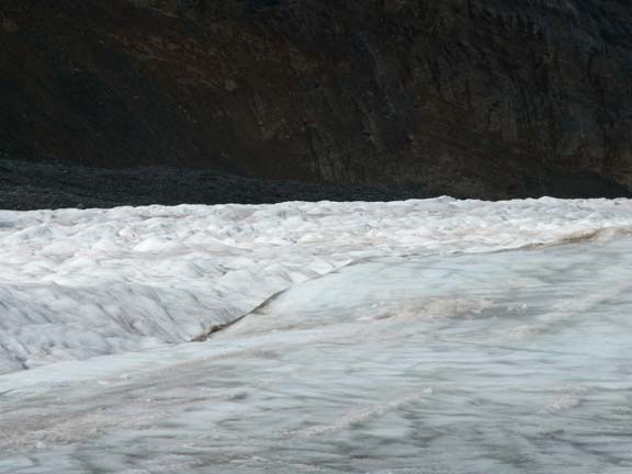 The
road on the right must be plowed every morning to keep it usable for the buses.
At the beginning of each season, it takes them one month to establish the road
up the glacier on one of two favored routes.
The
road on the right must be plowed every morning to keep it usable for the buses.
At the beginning of each season, it takes them one month to establish the road
up the glacier on one of two favored routes.
Oh yes, the tires are quite large. 
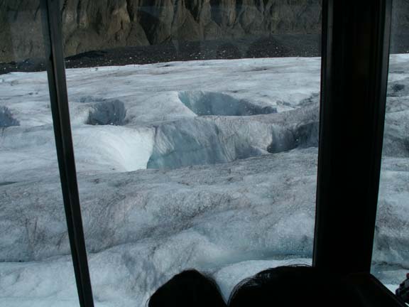
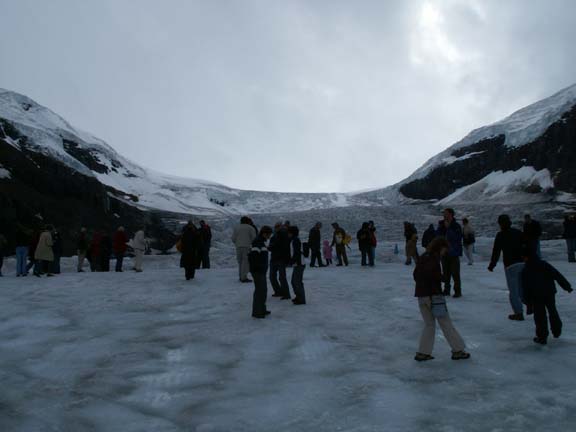 We
had twenty minutes to roam the glacier (within the safety zone of blue cones)
before re-boarding the bus. People who did not have proper footwear did not
wander far from the bus. The all morning rain made the glacier very slippery.
We
had twenty minutes to roam the glacier (within the safety zone of blue cones)
before re-boarding the bus. People who did not have proper footwear did not
wander far from the bus. The all morning rain made the glacier very slippery.
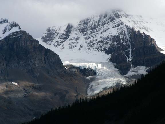
If you can't see the Icefield Center from the glacier in the first photograph, Fred has zoomed in on the second one.


This is the view behind you,
towards the icefield.
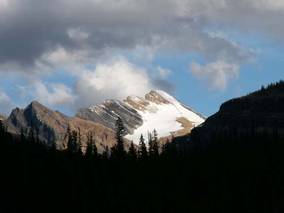
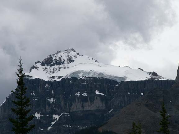
The rain had stopped on our way up the glacier. The sky was blue. We decided to backtrack a ways up The Icefields Parkway to see what we had missed on our rainy and cloudy ride.
Ketchener
Mountain
Mushroom Mountain
 The next morning, we left the Columbia Icefield area. We made
one photograph of our campground location - in the trees just below the timber
line. We were immediately in Banff
National Park.
The next morning, we left the Columbia Icefield area. We made
one photograph of our campground location - in the trees just below the timber
line. We were immediately in Banff
National Park.
Banff National Park
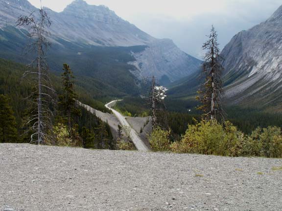 The
first pass we came to was Sunwapta Pass (6,700 feet). There was a pull-off at
the summit just before we started our descent. From the pull-off, you could see
the curve ahead of us, the road heading down and the road below. Fred was a
little concerned - how fast would we be going at the bottom?
The
first pass we came to was Sunwapta Pass (6,700 feet). There was a pull-off at
the summit just before we started our descent. From the pull-off, you could see
the curve ahead of us, the road heading down and the road below. Fred was a
little concerned - how fast would we be going at the bottom?
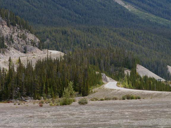
We had read that the roads in the parks were well engineered. And they were. As we rounded the curve and could see the road descending, they had made a big loop in the road. It brought a smile to Fred's face. He said , "good job guys". In the second photograph, he is standing at the mid-point of the big loop.
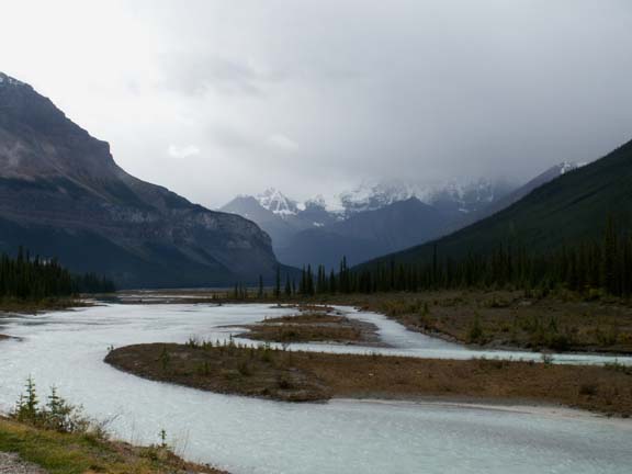
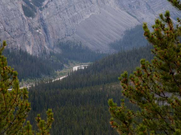
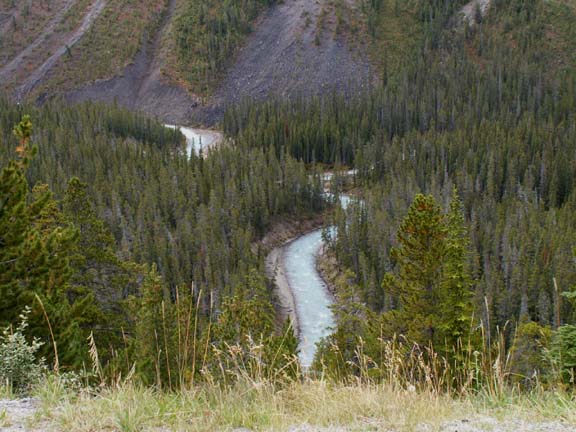
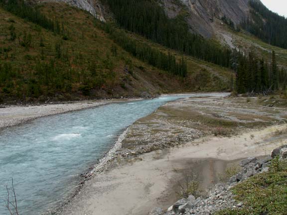
In the valley below we could see our road and a river. Of course, we had to check out the river a little closer.
In this same area as we stopped for the river, a couple buses and cars were stopped along the road - usually means wildlife. Sure enough, they had spotted Mountain Goats.
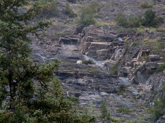
Fred tried the handheld digital zoom again.
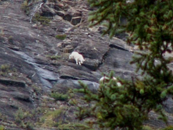
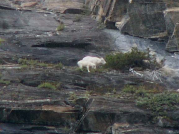
And a closer look . . .

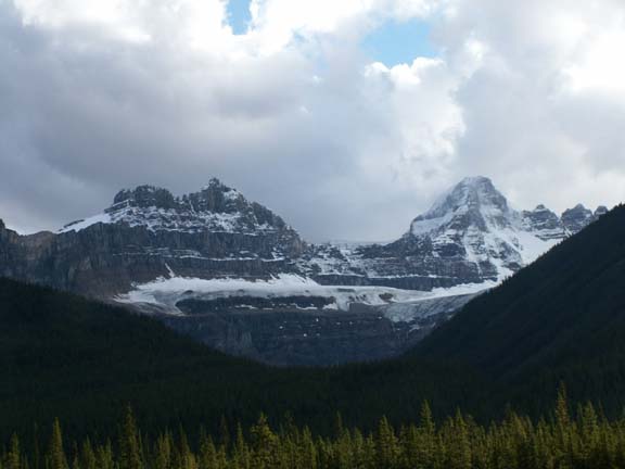
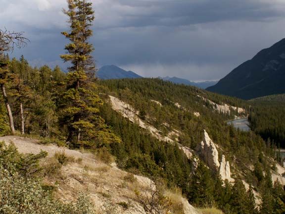
We decided the reason these mountains were so impressive, even after being in Alaska, is that you had the feeling of being close to them. You were driving in a small valley.

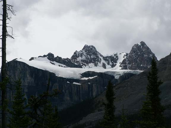
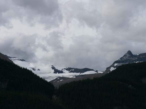
Like in Alaska, many glacier are unnamed.
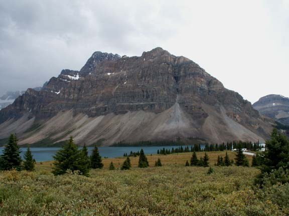
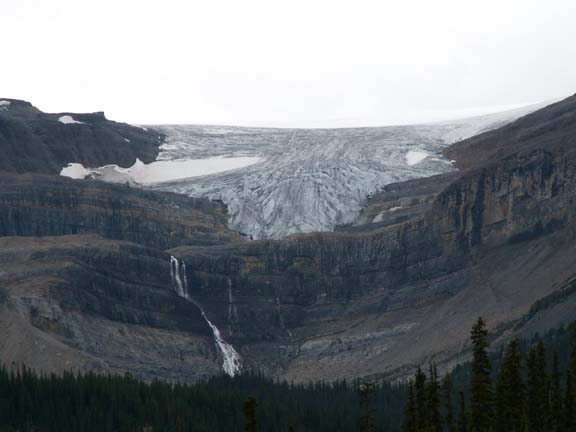 Bow
Mountain and Bow Glacier had a name and a parking area. Oh yes, we can't forget
Bow Falls.
Bow
Mountain and Bow Glacier had a name and a parking area. Oh yes, we can't forget
Bow Falls.
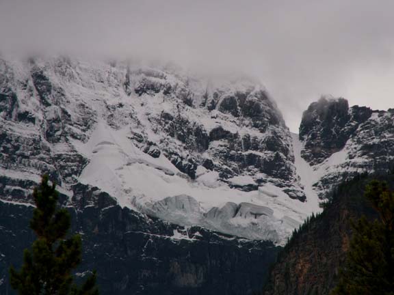
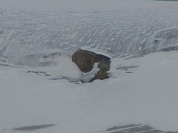
Crowfoot Glacier was to the left of Bow Glacier. It had a big rock on it.
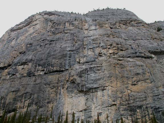
 The
'pebbles' that have fallen to the base of the mountains makes an interesting
photograph.
The
'pebbles' that have fallen to the base of the mountains makes an interesting
photograph.
If we got closer, we couldn't pick up some of those 'pebbles'.
 Our
campground in Banff National Park was in a very beautiful area also. This
mountain was on the road to the campground.
Our
campground in Banff National Park was in a very beautiful area also. This
mountain was on the road to the campground.
The view from our window . . .
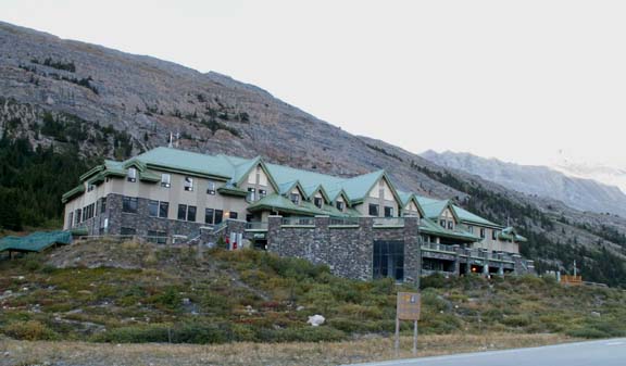
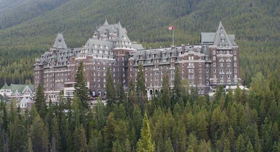 As
we drove around the Banff area, we found 'The castle in the Rockies'. It is
currently a hotel.
As
we drove around the Banff area, we found 'The castle in the Rockies'. It is
currently a hotel.
Another attraction is the Hoodoos. They are at the bottom right of the first photograph. The Native Indians believed the Hoodoos were nocturnal giants who awoke to pound the passerby with rocks hurled from the mountainside. Actually, they are mushroom shaped sandstone features.


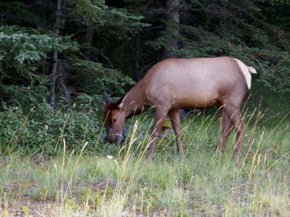
In the evening, on the way to get fuel for the truck we saw an elk.
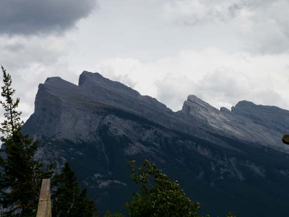
Mt. Rundle - 9,675 feet
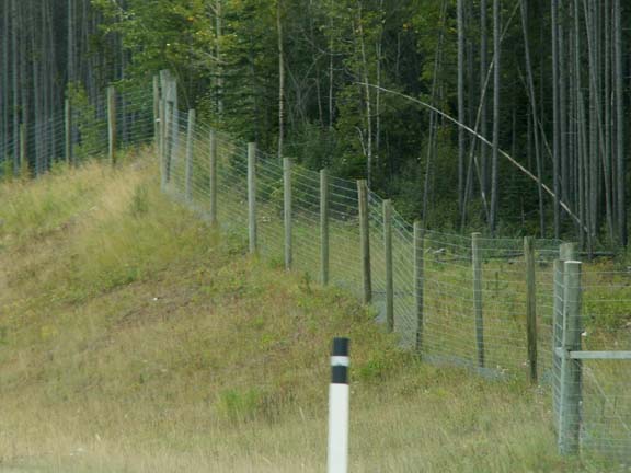
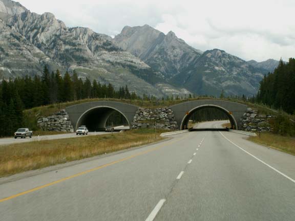
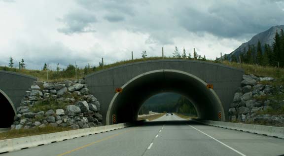
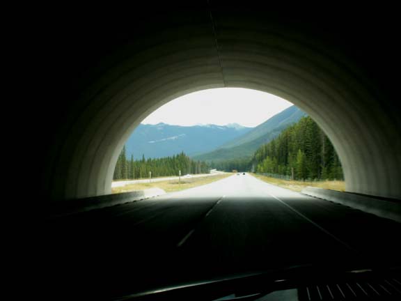
The road turned into a divided highway outside of Banff. To protect the wildlife from the high-speed traffic, the highway was lined with a fence - miles and miles of fencing. So the animals could cross the highway, they had built overpasses with grass and trees on them for the animals. On all the roads and pull-offs leading to the highway, cattle grates were installed so the wildlife would not enter the highway. After the density of wildlife experienced in the national park ended, the fencing stopped.
The road quietly changed to a regular route. Except for a small sign, we would have missed leaving the park. On the other side of the road they were collecting entry fees.
Banff National Park had the most beautiful of the mountains - sharp ridges and pointed peaks. It was a very nice ride the entire road.