Richardson Highway, a day trip - Alaska 2005
Updated: 11/30/08
Leaving for Alaska, our plan was to travel all the major roads in Alaska and
some of the not so major. When looking at our routing, we had to make a round
trip on the
Richardson Highway from Mile 129 to Mile 266 to accomplish our goal. After
leaving Valdez we camped in the Sourdough Creek Campground (BLM) northwest of Glennallen.
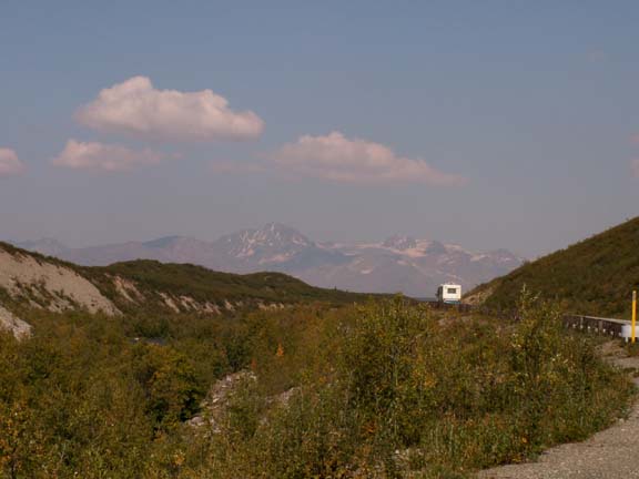
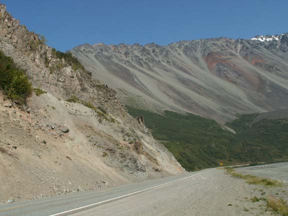
 The
next day, we
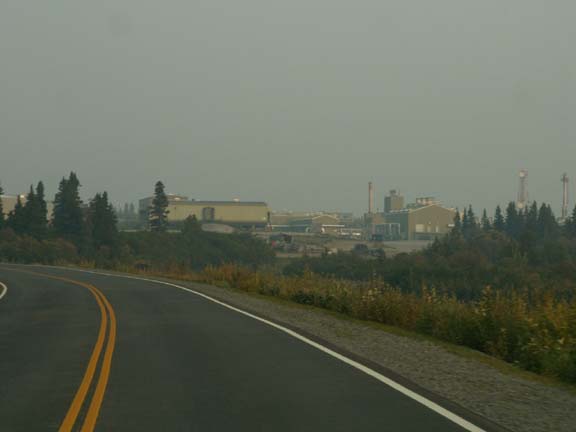
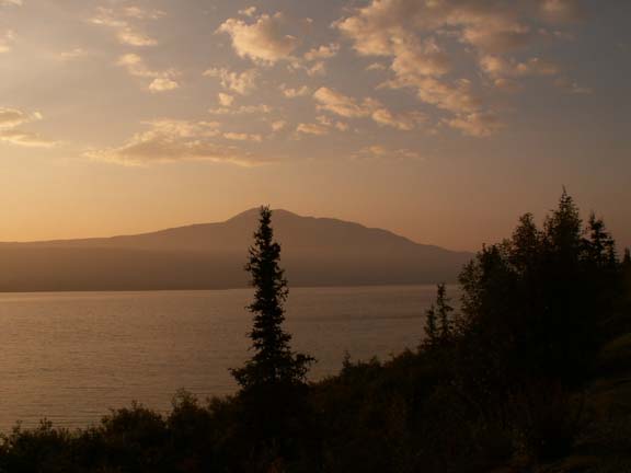
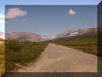
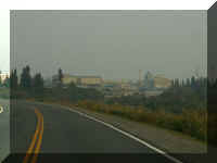
left camp about noon for the 124 mile ride to Delta Junction. The road had a lot
of 'loose gravel' and 'road damage' signs but it was not too bad especially with
just the truck. The Richardson Highway has been a little roly-poly due to frost
heaves the
entire length into and out of Valdez.
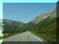
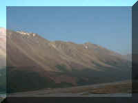
The
next day, we
left camp about noon for the 124 mile ride to Delta Junction. The road had a lot
of 'loose gravel' and 'road damage' signs but it was not too bad especially with
just the truck. The Richardson Highway has been a little roly-poly due to frost
heaves the
entire length into and out of Valdez.
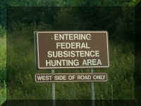
In Alaska you see a lot of sign indicating that substance hunting is
permitted. Low income people hunt following special regulations in these
designated areas. This section of the Richardson Highway had a
lot of the signs. (Alaska also has a subsistence fishing license.)
 The
beginning of the road was lined with black spruce trees. They were short (8-10
feet tall) like the ones in our campground. Their growth stunted by the
permafrost.
The
beginning of the road was lined with black spruce trees. They were short (8-10
feet tall) like the ones in our campground. Their growth stunted by the
permafrost.
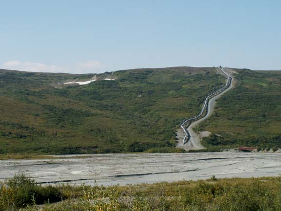
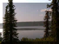
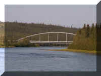
We had many views of the pipeline including this one where it
runs by a small lake. Some of the lakes are so small they are named after family
members - like, June and Kita Lake.
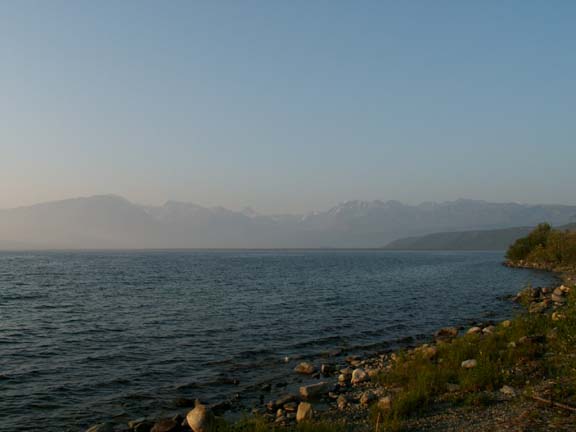
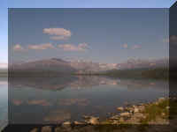
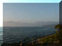
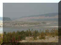
 A
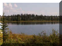
way down the road we saw two beautiful and large lakes - Paxson and Summit.
Fishing on Paxson Lake is limited to artificial lures with one single hook.
A
way down the road we saw two beautiful and large lakes - Paxson and Summit.
Fishing on Paxson Lake is limited to artificial lures with one single hook.
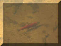
Before we got to Summit Lake, we stopped at a salmon viewing
platform. We arrived just in time. One salmon was swimming upstream. It was the
only fish we saw.
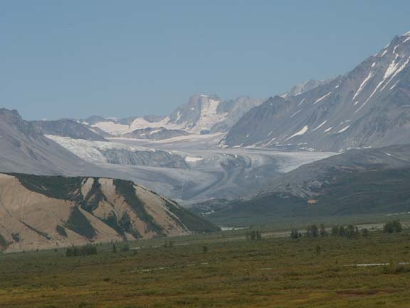
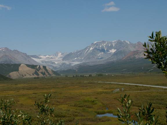
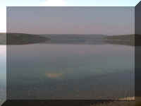
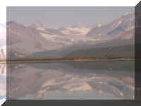
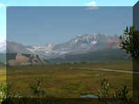
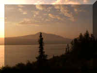
Summit Lake was beautiful and hardly a ripple on the surface. We
did not know at the time what was waiting at the north end of Summit Lake.
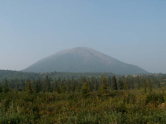
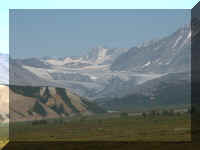
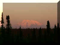
Glukana Glacier
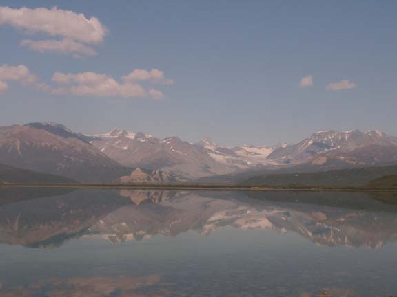
It is perched on the 8,000 foot Icefall Peak.
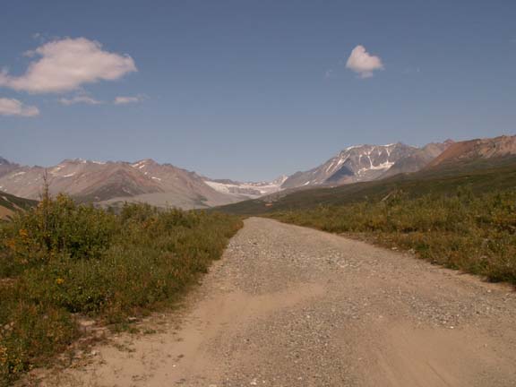
 We
found a road leading towards the glacier. After 2.6 miles of the road getting
worse as we went along, we took our photographs and headed back to the highway.
We
found a road leading towards the glacier. After 2.6 miles of the road getting
worse as we went along, we took our photographs and headed back to the highway.
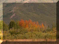
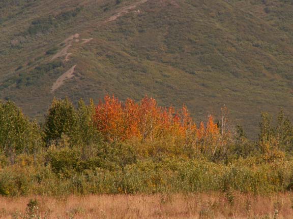
Near the glacier, fall had arrived.
Last look at Glukana Glacier
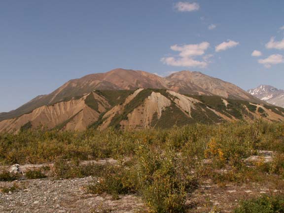
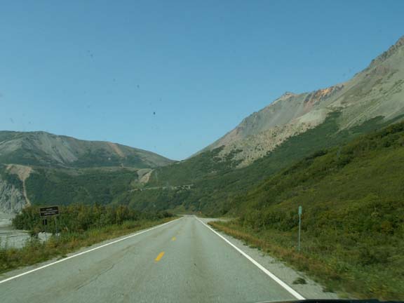
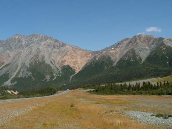
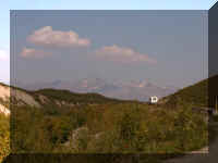
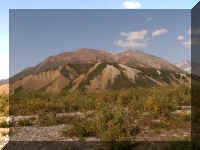
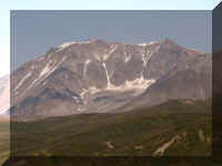
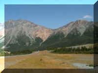
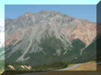
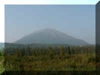
 Next
down the road was Rainbow Ridge and Rainbow Mountain (6,700 feet). The mountain
and ridge were named for their varicolored talus slopes. The reds and greens are
volcanic rock; the yellows and pastels are siltstone and sandstone.
Next
down the road was Rainbow Ridge and Rainbow Mountain (6,700 feet). The mountain
and ridge were named for their varicolored talus slopes. The reds and greens are
volcanic rock; the yellows and pastels are siltstone and sandstone.
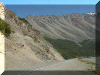
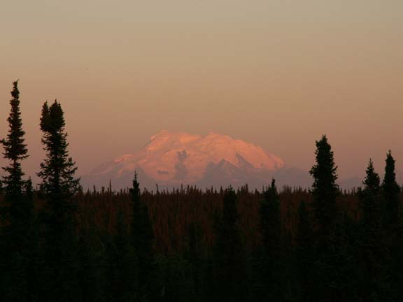
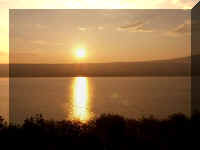
On our return trip,
the sun was hitting
part of the mountain.
Speaking of our return trip, we have learned to "seize the
moment". Conditions change rapidly in Alaska. About 40 miles out of
Delta Junction, we ran into smoke from forest
fires still burning in the Chicken and Boundary areas. This was the view of Gulkana Glacier about four hours later.
Timing is everything . . .
 . . . smoke had blown southward and covered it.
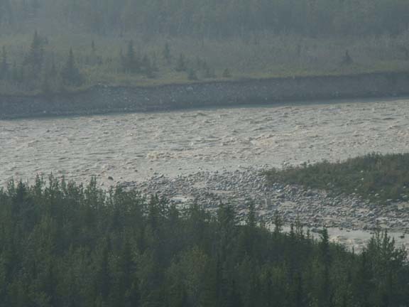
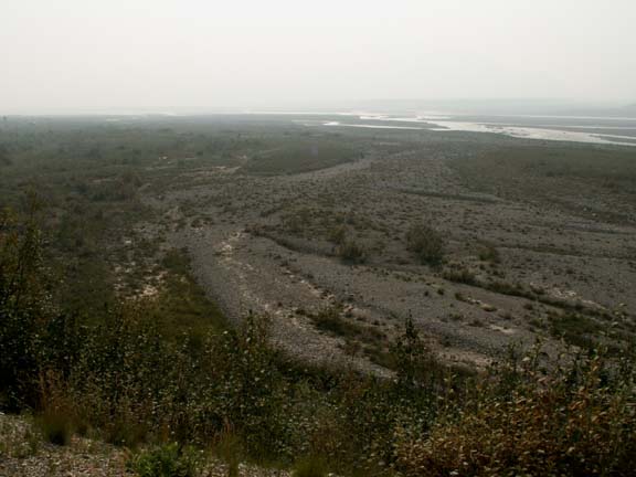
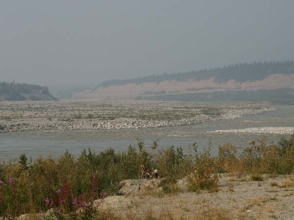
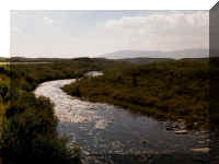
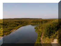
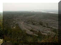
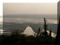
Continuing our trip, approaching Delta Junction we passed huge braided rivers. The
water flowing in many creeks down the mountains had made for a considerable
flow of water in some of the braided rivers.
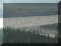
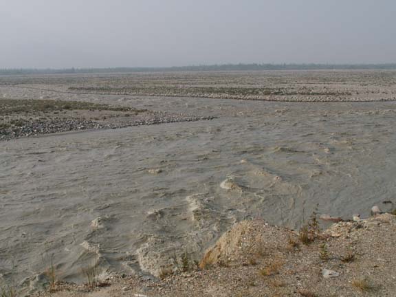
Black rapids ...
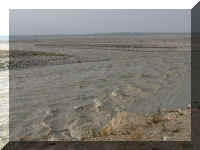
Just south of Delta Junction
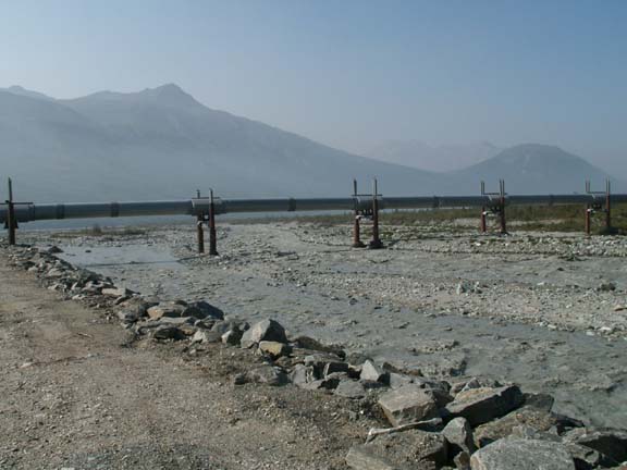
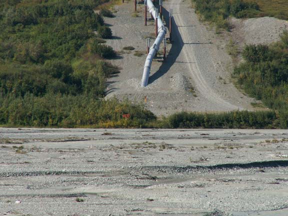
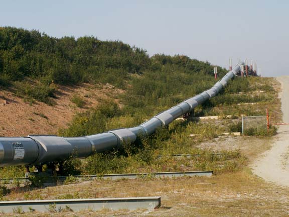
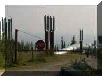
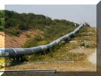
The Trans-Alaska Pipeline is close to this section of the
Richardson Highway frequently. We had the opportunity to view different installation methods
at various locations. It is truly an engineering marvel considering the terrain the
800 mile pipeline traverses.
 Next to our campground the pipeline crosses over a river.
Here it crosses over a braided river.
It did not always cross over rivers. In
these photographs, it descends the hill and goes under this braided river.
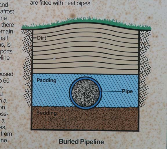
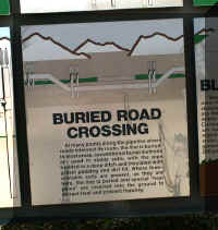
To help people understand how the pipeline is engineered, 'official' visitor locations have information boards.
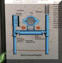
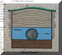
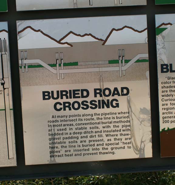
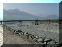
Another location showed the pipeline crossing under the road. We
had not seen the radiators used on underground installations before.
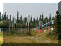
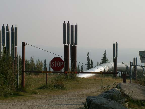
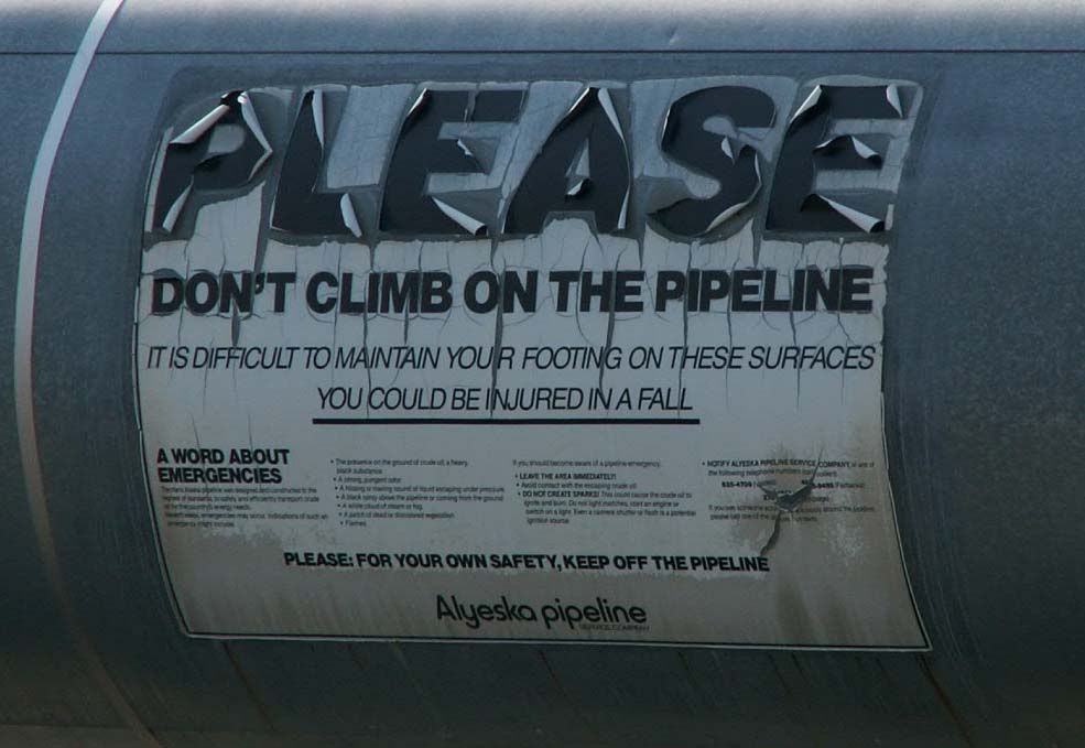
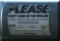
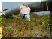 With
all the security that is provided for the pipeline, there are many, many
locations where anyone can come in contact with it. Here at the Denali
Fault/Pipeline Visitor Viewing Area, at Mile 216 of the Richardson Highway, is a
length close to the ground for everyone to investigate.
With
all the security that is provided for the pipeline, there are many, many
locations where anyone can come in contact with it. Here at the Denali
Fault/Pipeline Visitor Viewing Area, at Mile 216 of the Richardson Highway, is a
length close to the ground for everyone to investigate.
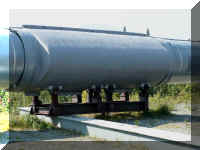
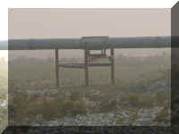
The zig zag method of going up and down hills permits movement
without breaking. In the Denali Fault area, the pipeline shoes are large and
rest on a large beams to permit more movement without damage.
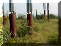
 The
pipeline is supported on a beam between two vertical posts in many locations.
This particular location north of the Denali Fault area had a triangular post
system.
The
pipeline is supported on a beam between two vertical posts in many locations.
This particular location north of the Denali Fault area had a triangular post
system.
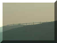
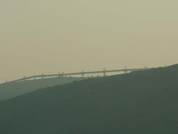
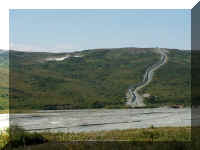
And, sometimes it follows the ridge line of mountains.
And, when the pressure needs a boost, Pump Station Number 10 is
there to help.
(These three photographs are what you call 'smoke enhanced'
photographs.)
 Just
before reaching our destination, we observed the weather forecasting location
for Delta Junction. When there is snow accumulating on Donnelly Dome, they will
get snow in two weeks. It is said to be more reliable that the weather service.
Just
before reaching our destination, we observed the weather forecasting location
for Delta Junction. When there is snow accumulating on Donnelly Dome, they will
get snow in two weeks. It is said to be more reliable that the weather service.
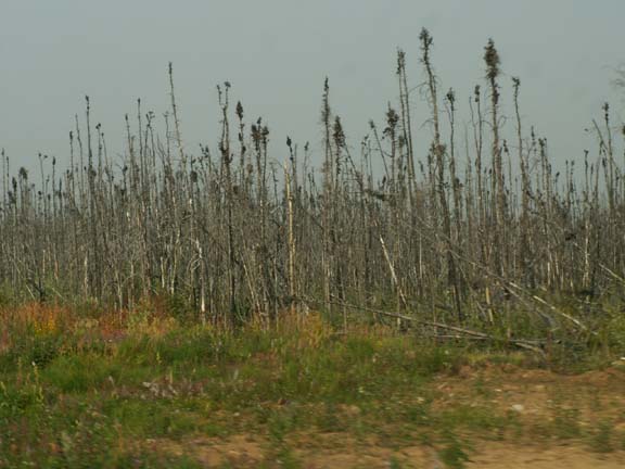
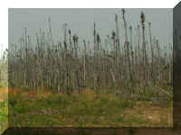 The
area south of Delta Junction showed evidence of land recovering from fire like
many other parts of Alaska.
The
area south of Delta Junction showed evidence of land recovering from fire like
many other parts of Alaska.
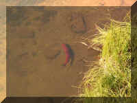
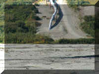
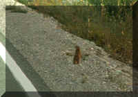
We almost forgot to show you the wildlife viewed south of Delta
Junction. The only wildlife seen.
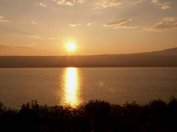
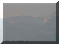
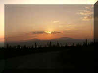
In spite of the smoke interfering with the scenery on the way
home, we were able to find some pleasant closing memories.
Go back to Alaska Photo Album
.
Top of Page

 The
next day, we
left camp about noon for the 124 mile ride to Delta Junction. The road had a lot
of 'loose gravel' and 'road damage' signs but it was not too bad especially with
just the truck. The Richardson Highway has been a little roly-poly due to frost
heaves the
entire length into and out of Valdez.
The
next day, we
left camp about noon for the 124 mile ride to Delta Junction. The road had a lot
of 'loose gravel' and 'road damage' signs but it was not too bad especially with
just the truck. The Richardson Highway has been a little roly-poly due to frost
heaves the
entire length into and out of Valdez.