WI 2004 - Along the way
Updated: 11/09/08
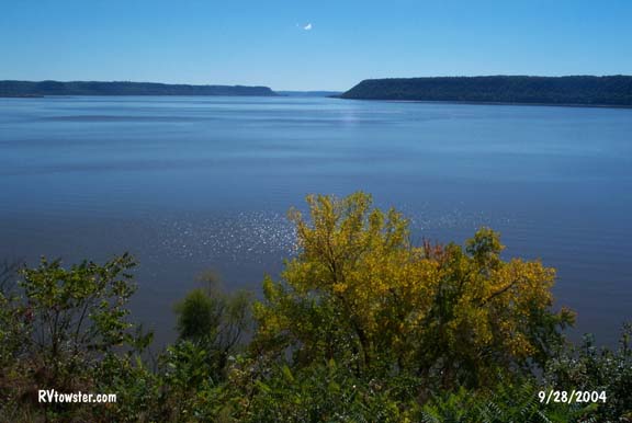
Lake Pepin ...
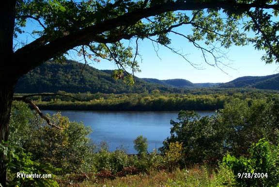
Forgot where ...
From Minnesota ...
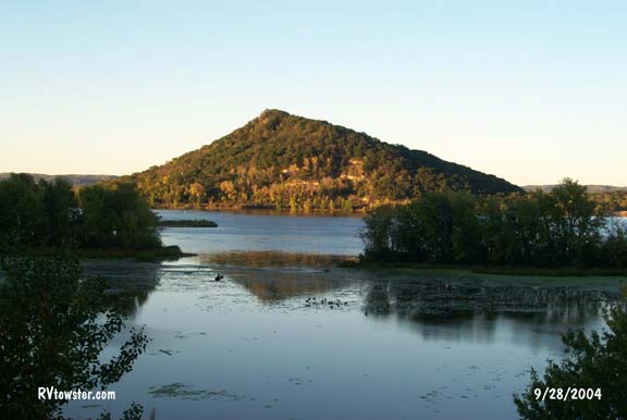
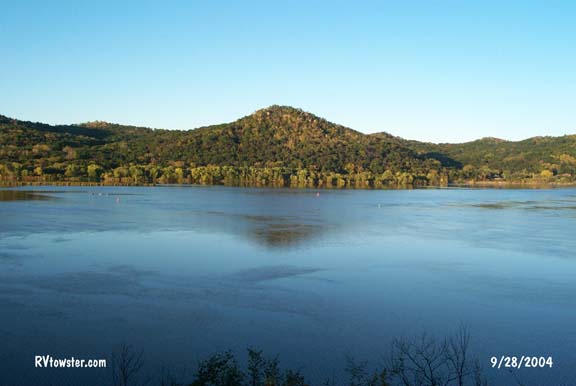
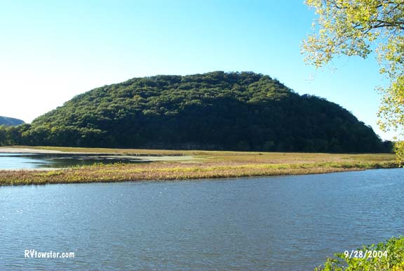
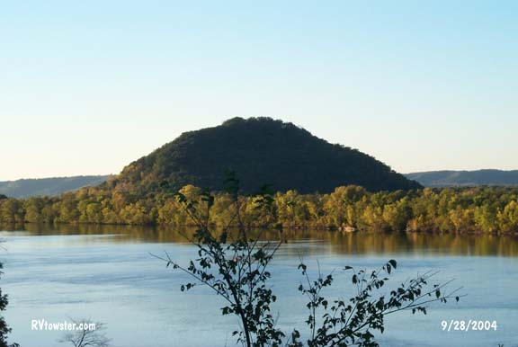
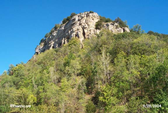
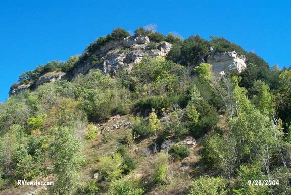
Tremealeau Mountain is one of only four mountains in the US missed by the glacier movement. It was separated from the land mass by the glacial movement and now sits between the glacially diverted Mississippi River and Trempealeau Bay.
From Wisconsin
...
From Minnesota ...
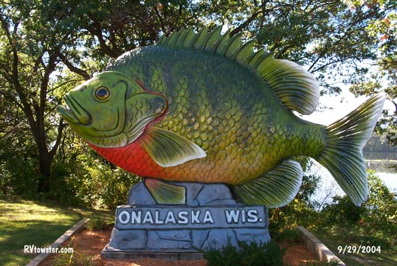
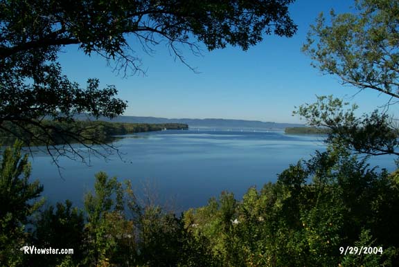
A view from Onalaska WI ...
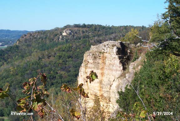
These outcroppings were across the road from a couple scenic lookouts for the Mississippi River along Route 32.
One of the Apostle Islands from Route 13 ...
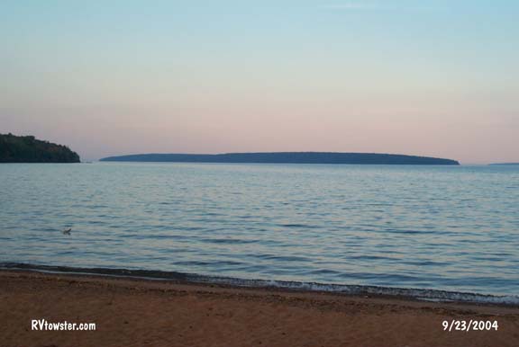
Bark Bay ...
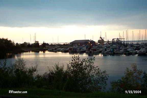
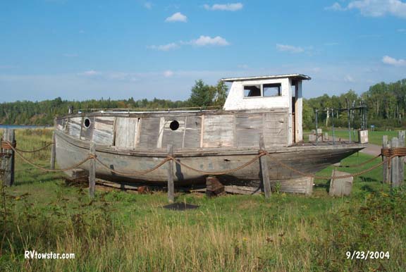
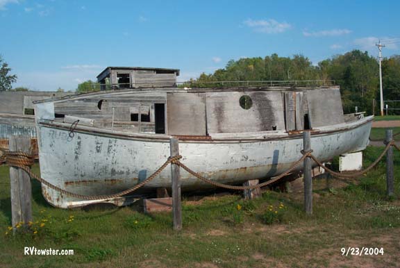
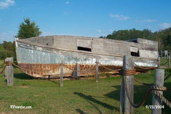
Old boats in a roadside park along Route 13 ...
Boat landing road along Route 13 ...
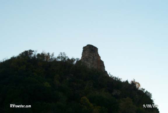
Sugar Loaf Rock in Winona WI.
Many people believe Sugar Loaf is naturally formed. It is
not. It is what remains of a large hill after rock was quarried for building construction and
sidewalks in Winona. When quarrying reached the point you see today, some
prominent citizens decided it look pretty good as it was. The miner's cleaned up
the area leaving a flat table at the base and closed operations in 1887.
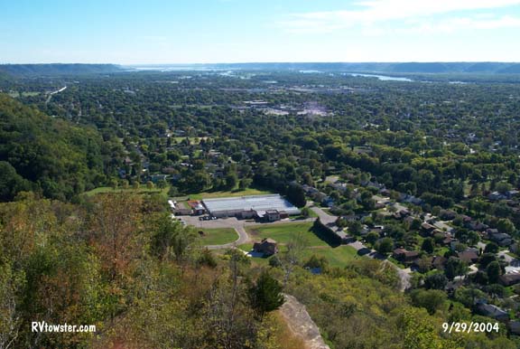
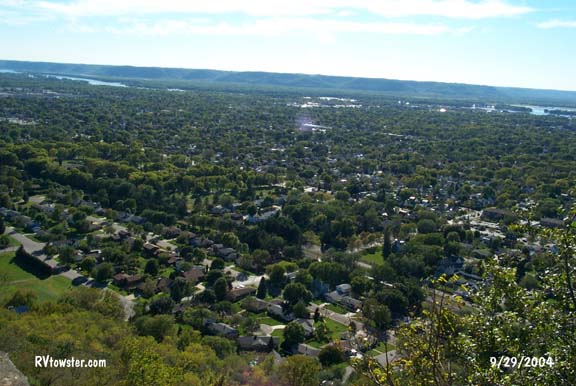
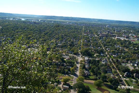
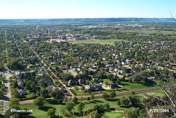
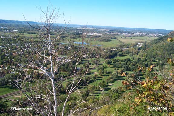
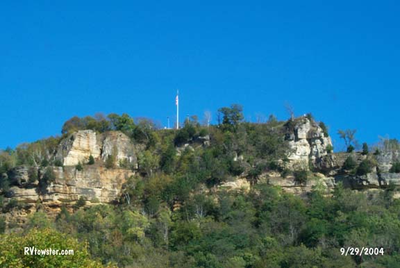 Granddad's Bluff
towers 600 feet above La Crosse Wisconsin. The view from this elevation was fantastic. You could see Minnesota and
Iowa - in addition to Wisconsin. Do not tow your RV up the road to the top of
the bluff - leave it
in your campsite or a parking lot in town.
Granddad's Bluff
towers 600 feet above La Crosse Wisconsin. The view from this elevation was fantastic. You could see Minnesota and
Iowa - in addition to Wisconsin. Do not tow your RV up the road to the top of
the bluff - leave it
in your campsite or a parking lot in town.

Granddad's Bluff flag, up close ...
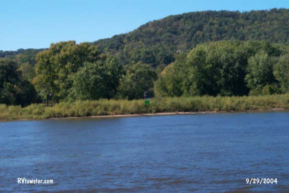
The Mississippi River
 Capacity levels of different modes of transportation
were listed on a sign
along the Mississippi River.
Capacity levels of different modes of transportation
were listed on a sign
along the Mississippi River.
Semi Truck =
25 tons, 875 bushels, 7,580
gallons
Rail Hopper car = 100 tons, 3,500 bushels, 30, 240 gallons
River
Barge = 1,500 tons, 52, 500 bushels, 453,600
gallons
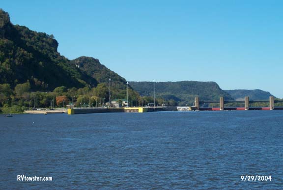
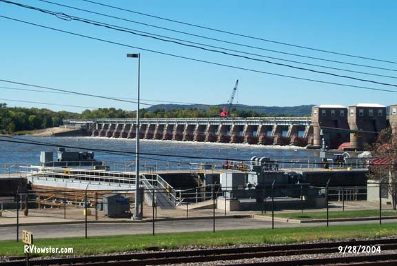
The Mississippi River is 2,348 miles long and drops 1,500 feet from Lake Itaica MN to the Gulf of Mexico. Navigation signs along the river help the river pilots steer properly to stay in the channel. The drop in water level is controlled by a system of 29 locks and dams.

Green
sign
Red and White sign
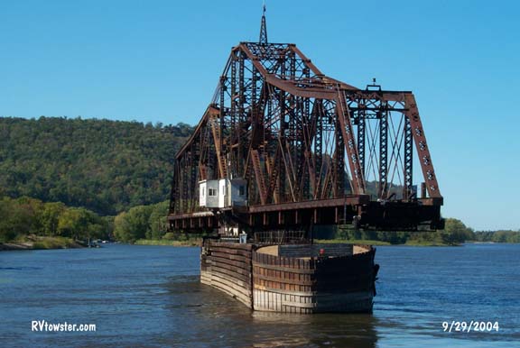
This railroad bridge turned for our paddlewheel boat as we rode on the Mississippi River out of La Crosse.
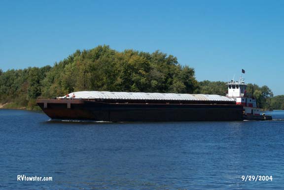
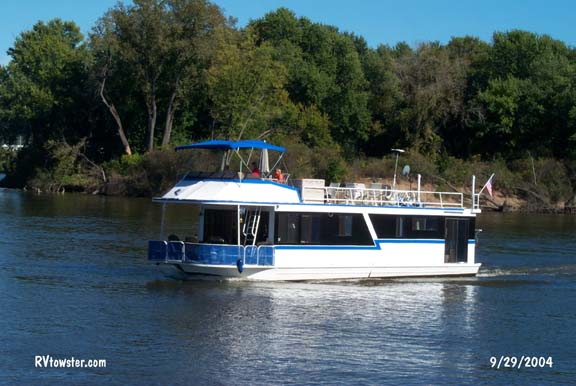
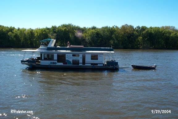
A popular mode of personal transportation on the river is a houseboat.
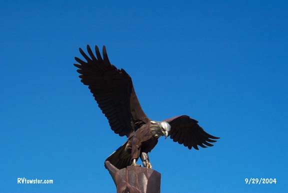 La
Crosse has a very nice waterfront city park. In the park is a sculpture of an
American Bald Eagle made of two metals - one does not tarnish giving it the
appearance of a white head.
La
Crosse has a very nice waterfront city park. In the park is a sculpture of an
American Bald Eagle made of two metals - one does not tarnish giving it the
appearance of a white head.