North Coast of the Gulf of Mexico - 2015 (1 of 2)
>
> > Mississippi and Alabama
(including Gulf Shores)
Updated: 07/30/16
Links to states on this page: Mississippi Alabama
Mississippi . . .
We arrived in Natchez, Mississippi at the southern end of the Natchez Trace Trail. From there we headed across Louisiana to the Gulf of Mexico coast line. We worked our way across to New Orleans, LA and back into Mississippi on the coast of the Gulf of Mexico.
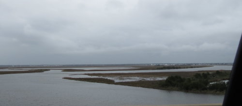
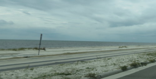
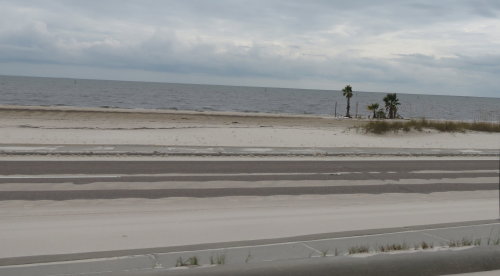
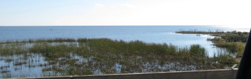
After we left the population center of New Orleans it was open spaces and a lot of water. At home we would call them 'wetlands' because they are not common .... but ... here it is almost more appropriate to call out the 'drylands' because of all the water.
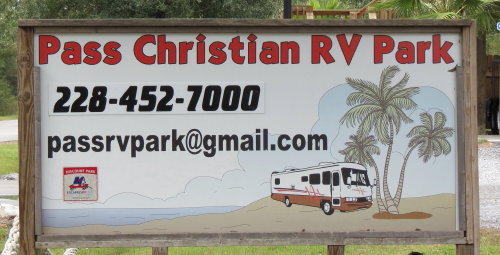
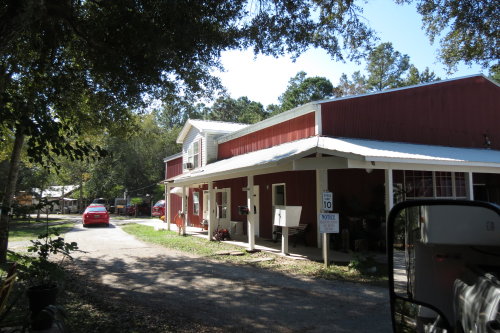
We experienced the leading edge of a hurricane while in New Orleans. We knew we wanted out of it's direct path so we headed out of New Orleans during a break in the rain. Fortunately, the dry patch held while we headed to Mississippi. We stopped at the first Passport American campground we came to. It was in Pass Christian, MS.
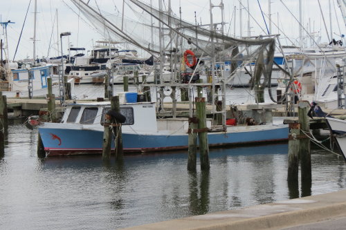
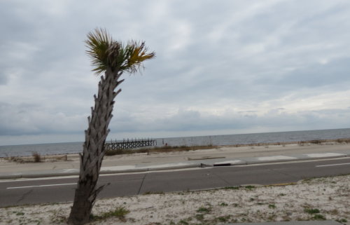
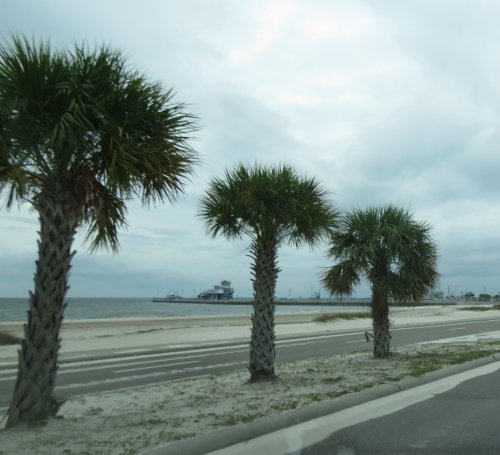
Our campground was just a couple blocks from the Gulf of Mexico.
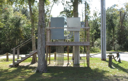
Electrical panels high in the air on a deck.
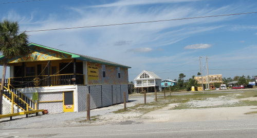
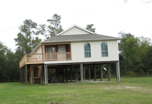 Due
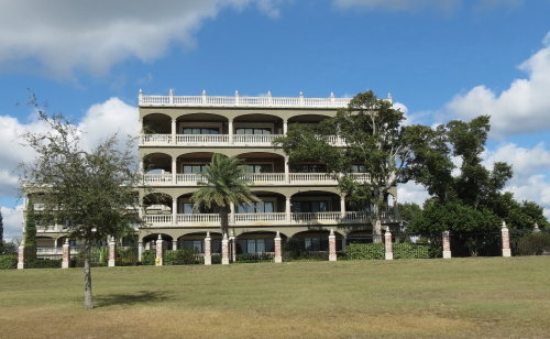
to the close proximity to the Gulf, many buildings were above ground. The area
was not as depressed as we had seen in Cameron and surrounding area.
Due
to the close proximity to the Gulf, many buildings were above ground. The area
was not as depressed as we had seen in Cameron and surrounding area.
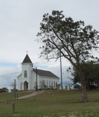
Pass Christian had been rebuilt into a very 'new' looking community.
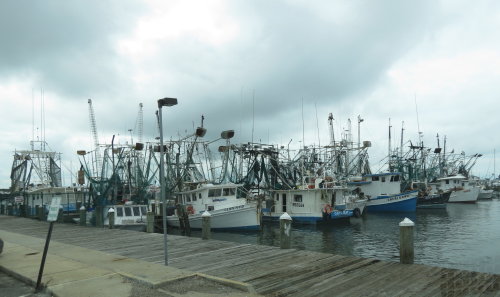
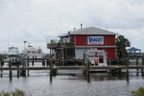
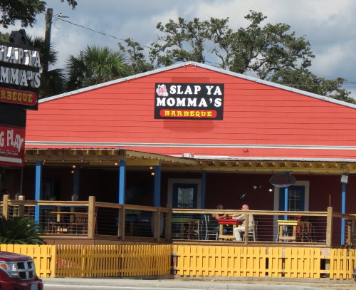
We wanted a seafood meal. Everyone we asked suggested Shaggy's. It was in a harbor and provided a good lunch in a very nice environment.
We stayed in our fifth wheel the day of a terrific storm. The hurricane we had left New Orleans ahead of caught up with us. Not quite as powerful, but plenty windy and wet for us.
Later, we found out we should have driven the two blocks to see the humongous wave resulting from the storm. Friends a little east of our location saw some great sights.
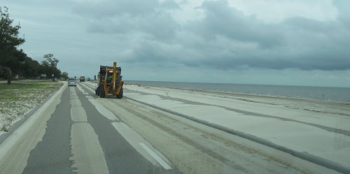
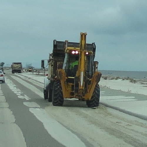
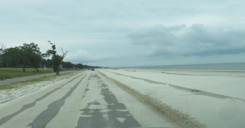
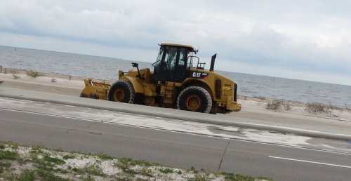
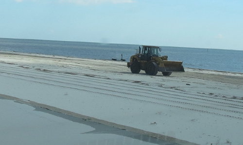
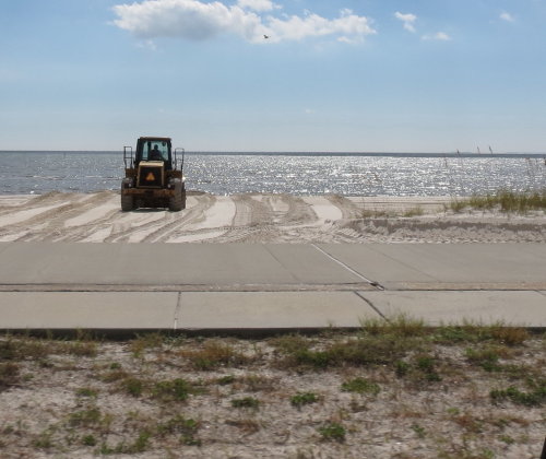
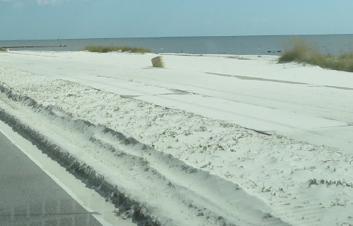
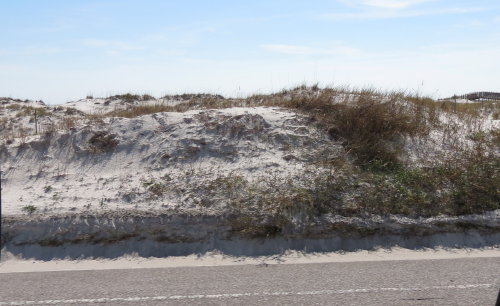
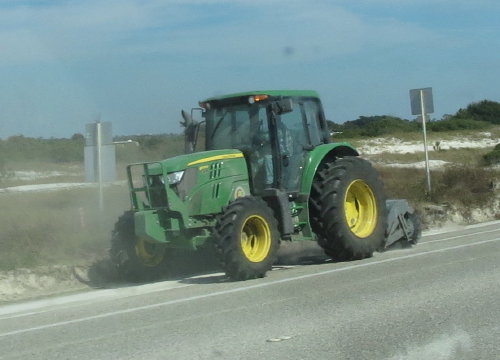
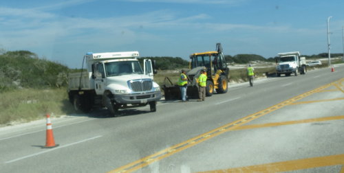
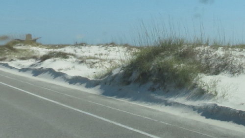
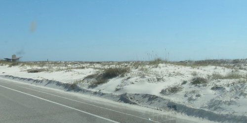
Due to the storm, we decided to delay our departure. It was a good decision. On the morning news that next day, it was report our route was closed because it was covered with sand.
Even leaving a day later, crews were busy clearing sand off the highway.
![]()
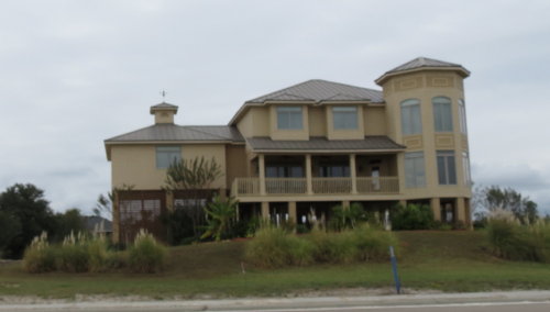
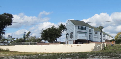
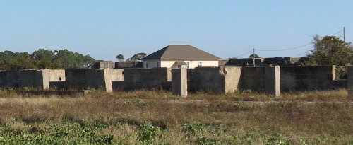
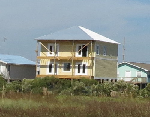
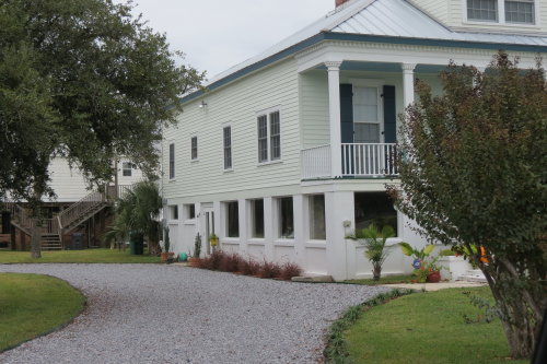 We
think this is an example of the lower floor of the house being built so the
windows can blow in and let the water surge pass through the house without sever
damage. It looked like the lower floor was empty of furnishings and without
walls.
We
think this is an example of the lower floor of the house being built so the
windows can blow in and let the water surge pass through the house without sever
damage. It looked like the lower floor was empty of furnishings and without
walls.
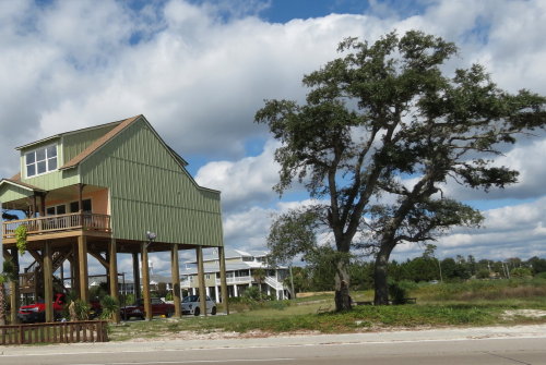
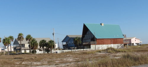
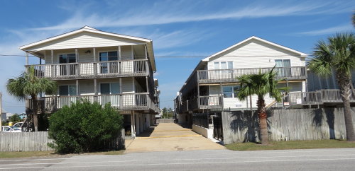
Many very nice homes had great views of the Gulf.
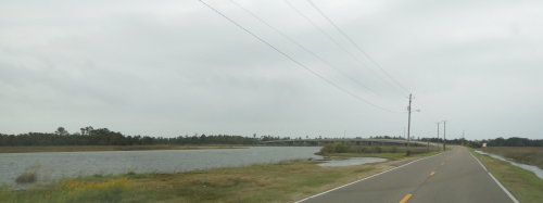
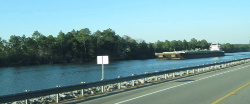
Along Route 90, crews were battling the sand - an endless challenge.
We found some photo oops as we traveled Route 90.
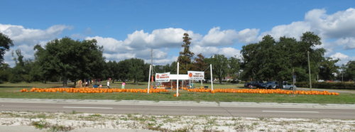 Pumpkins
. . .
Pumpkins
. . .
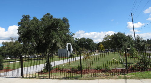
 Former home site . . .
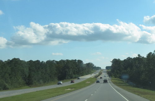
 Along
Route 90 and Route 10, there was a Waffle House about ever two blocks.
Along
Route 90 and Route 10, there was a Waffle House about ever two blocks.
When we mentioned it to friends later, they just smiled. It
seems
they have grown accustomed to Waffle House restaurants everywhere.
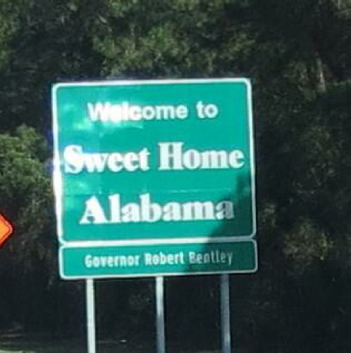

Exit here,
Almost home ?
No.
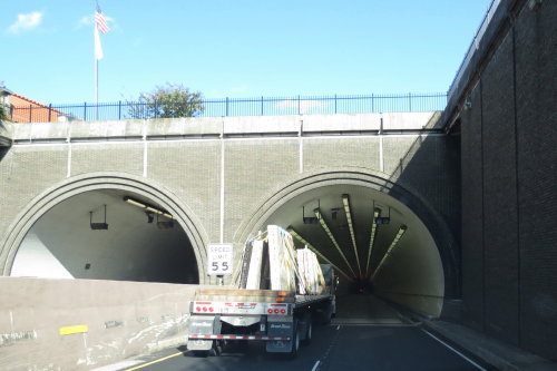
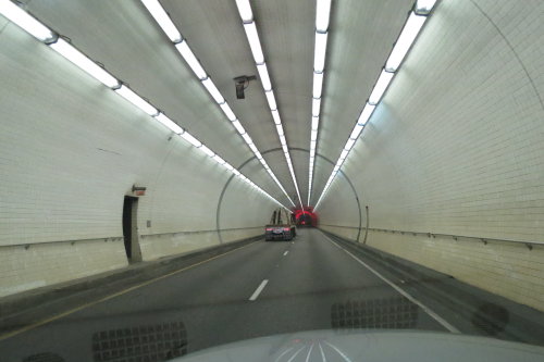
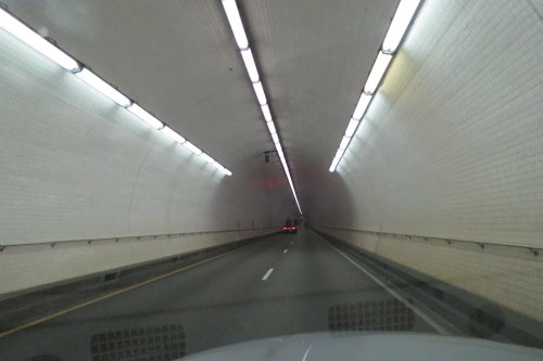
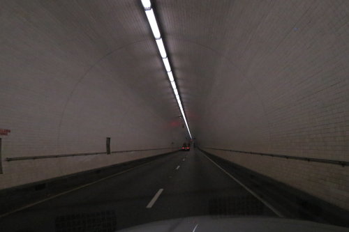
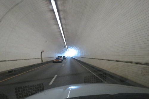
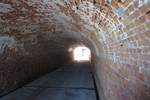
The George C. Wallace Tunnel under the Mobile River, Mobile, AL . . .
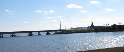
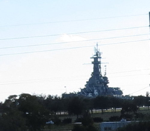
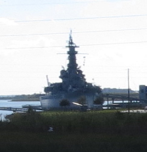
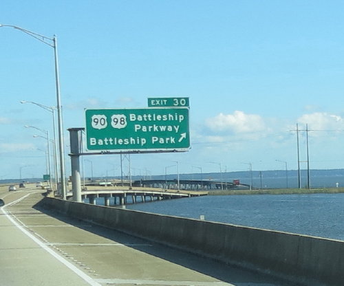 The
battleship USS Alabama moored outside Mobile, AL . . .
The
battleship USS Alabama moored outside Mobile, AL . . .
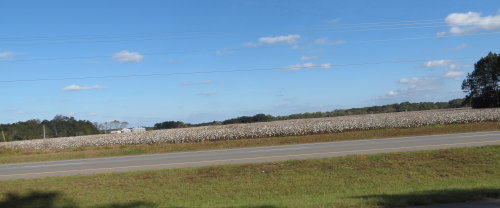 Another
cotton field . . .
Another
cotton field . . .
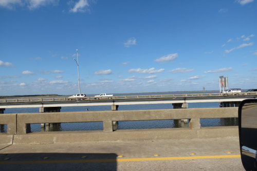
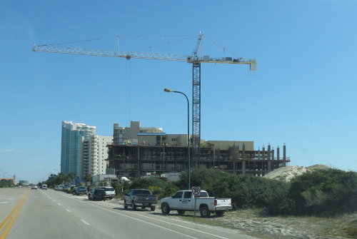
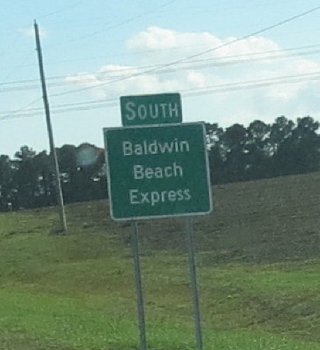 This new road is a faster, less congested route to the Gulf Shores and Orange
Beach area. The express road runs from Interstate 10 to the Foley Beach Express.
The road has a 55 mph speed limit. There are no businesses on the highway -
eliminating lot of of stop/go traffic.
This new road is a faster, less congested route to the Gulf Shores and Orange
Beach area. The express road runs from Interstate 10 to the Foley Beach Express.
The road has a 55 mph speed limit. There are no businesses on the highway -
eliminating lot of of stop/go traffic.
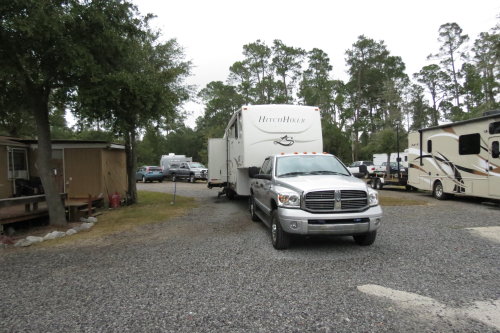
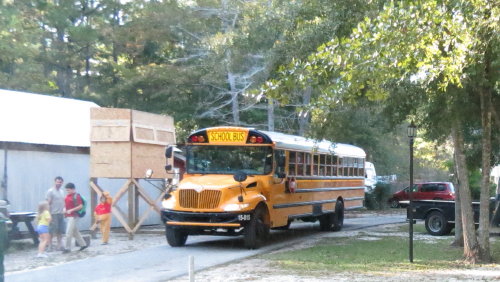
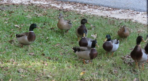
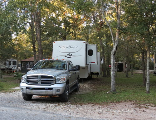
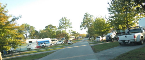
 Arriving
at the Gulf Coast Campground in Golf Shores we were greeted by a bus load
of school children and a family of ducks.
Arriving
at the Gulf Coast Campground in Golf Shores we were greeted by a bus load
of school children and a family of ducks.
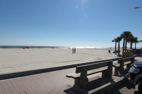
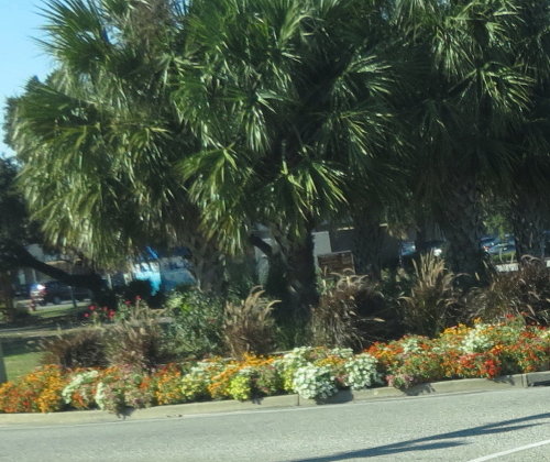
We were in Gulf Shores to visit with Greg and Judy who winter there. After lunch, they took us on a tour of the area.
Judy took Mary Lou for a walk on the white sand.
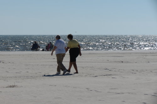
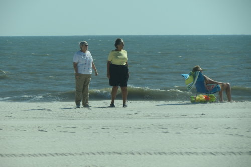
Meanwhile, Greg and Fred waited
in the truck as Greg
pointed out
some points of interest.
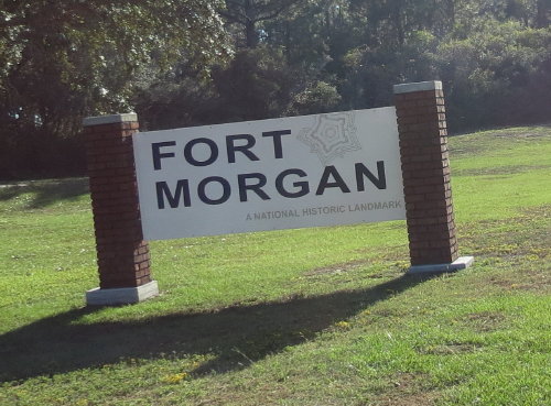
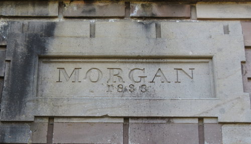
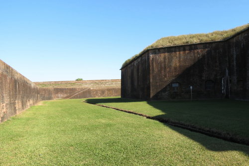
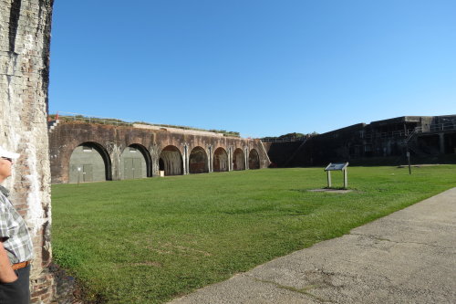
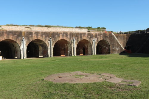
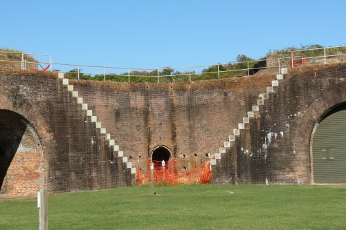
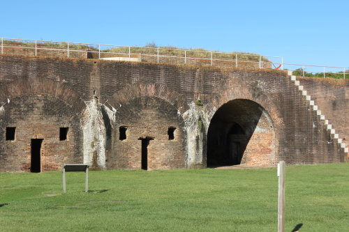
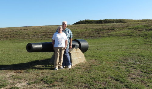
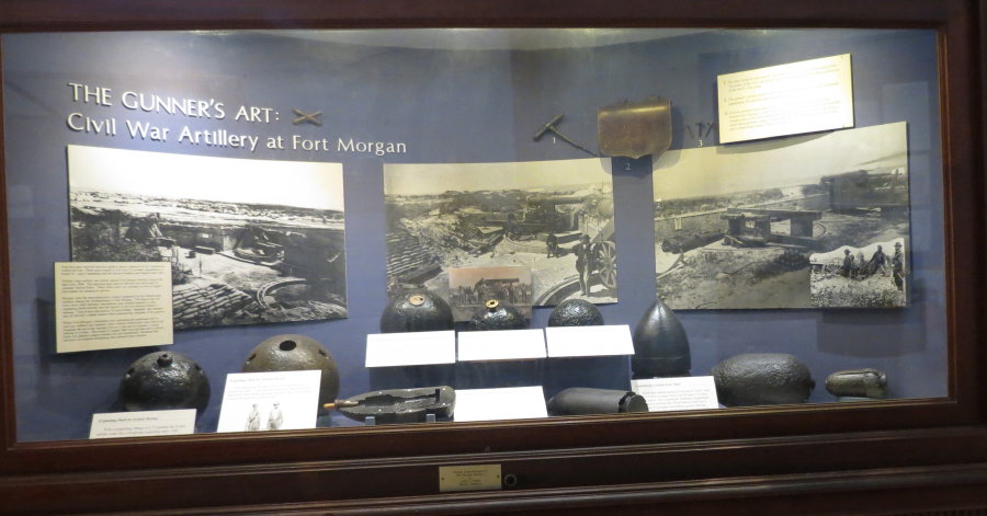
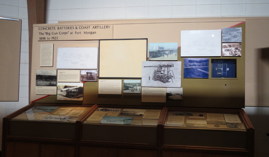
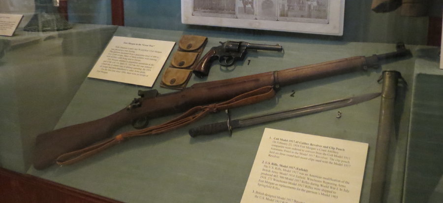
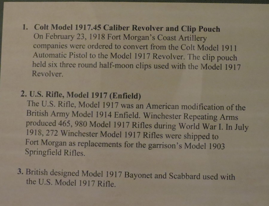
Greg drove us to end of state route 180 to visit Fort Morgan.
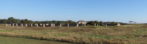
These buildings were outside the fort.
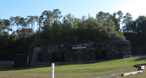
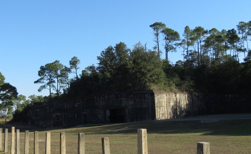
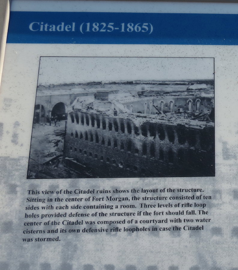
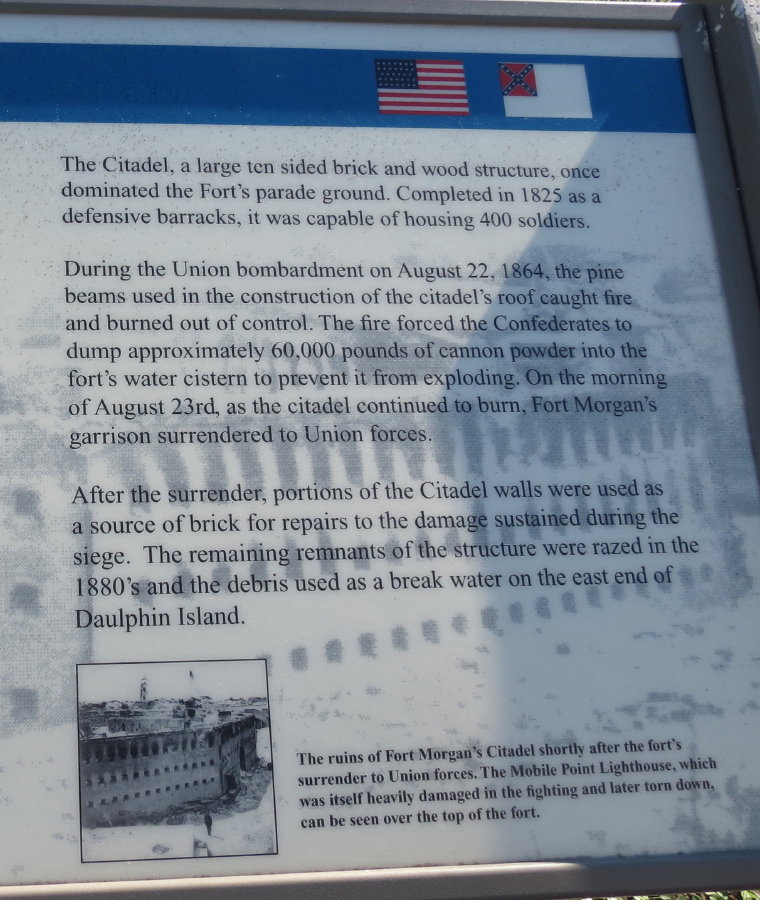
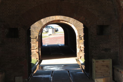
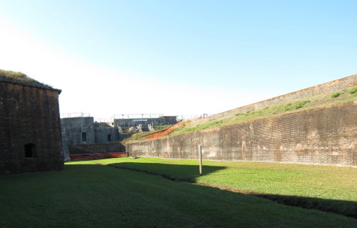
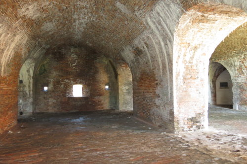
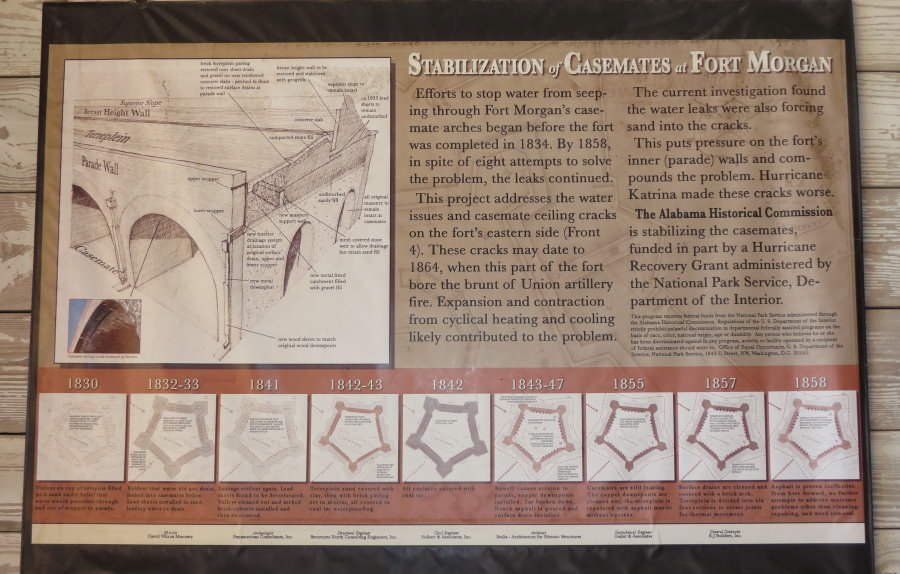
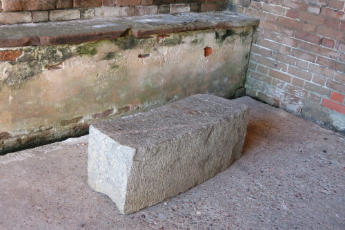
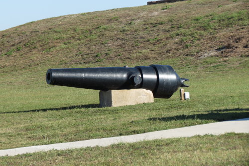
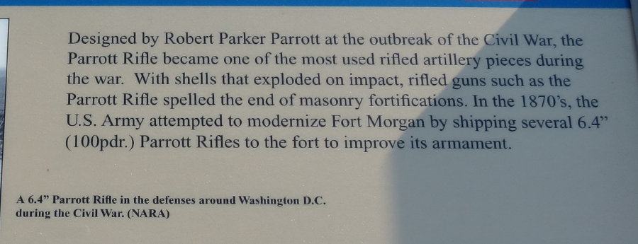
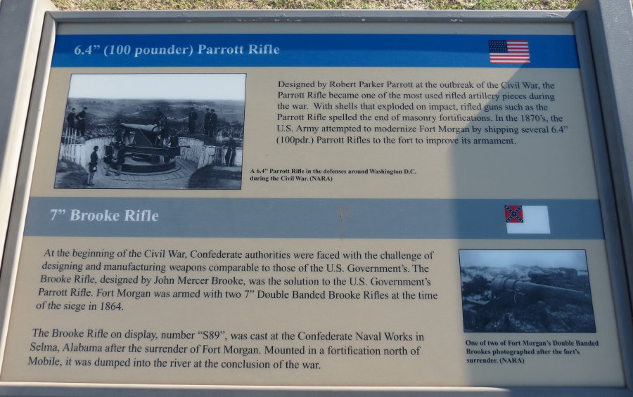
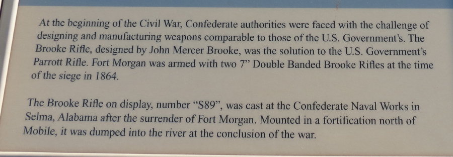
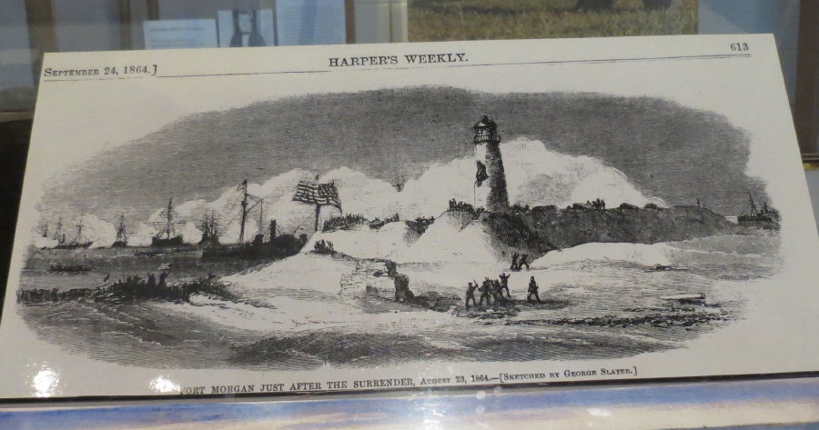
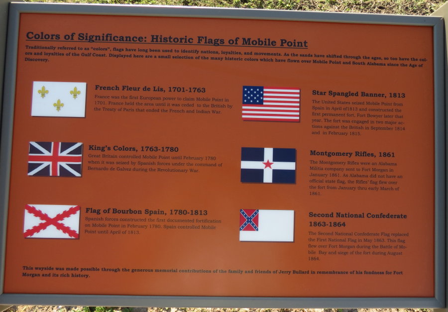
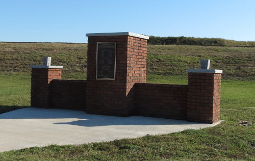
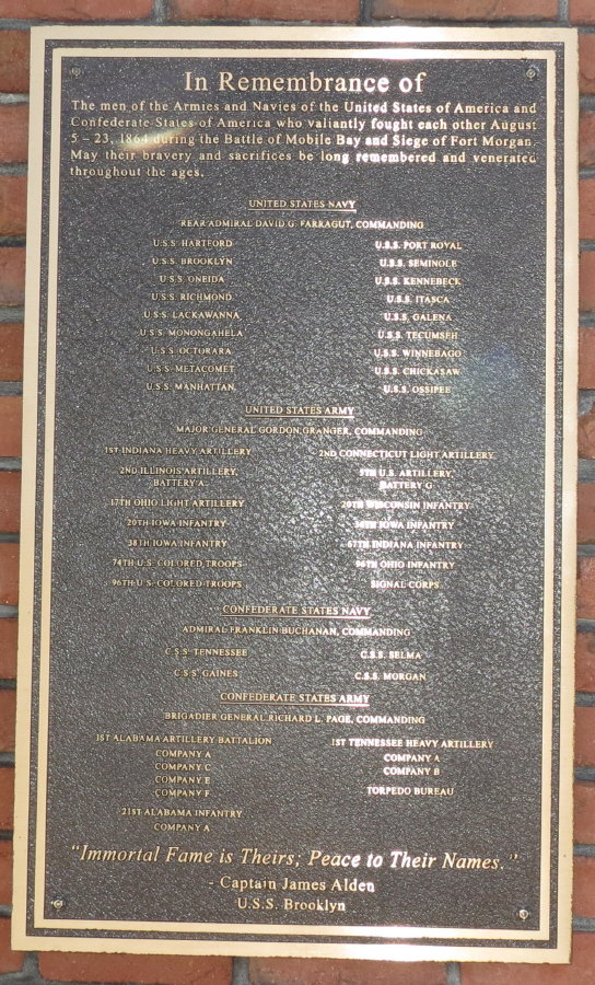
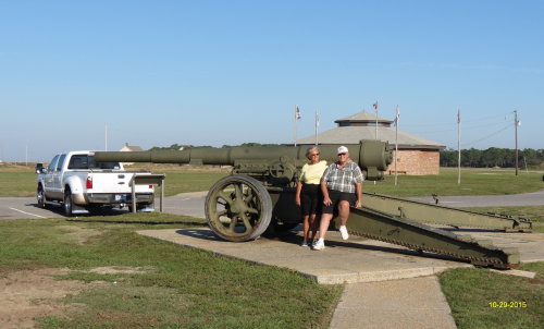
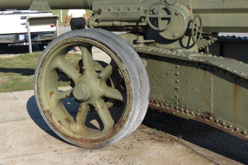
Fort Morgan was built after the War of 1812. Construction was begun in 1819, designed to control the main ship channel into Mobile Bay. The star shape of the Fort allowed its defenders to concentrate heavy artillery fire on an enemy fleet as it approached the fort. By the time of the Civil War the fort was out of date. Printed on the self-guided walking tour brochure is a warning of uneven surfaces. The fort was in a state of disrepair, but interesting just the same.
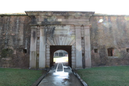
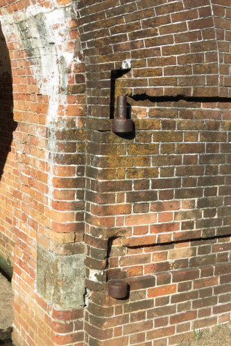 Big, no HUGE hinges . . .
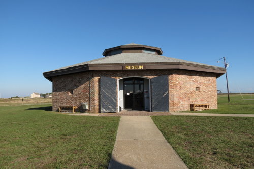
Visitors Center and Museum . . .
 Judy
and Greg found a comfortable seat near their truck.
Judy
and Greg found a comfortable seat near their truck.
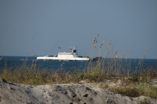 Car ferry . . .
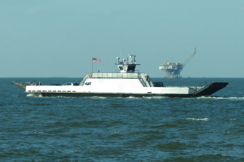
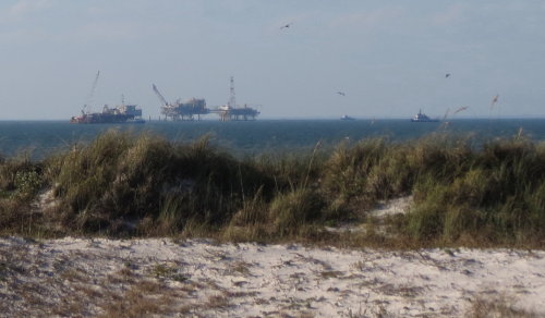
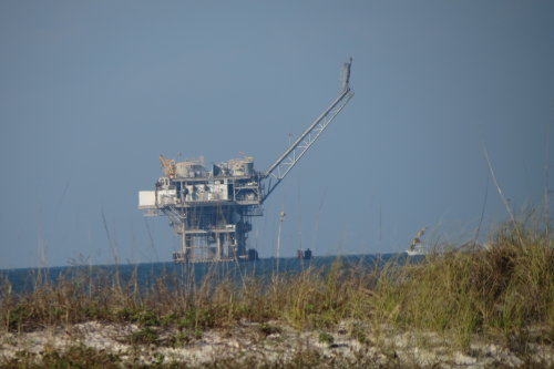
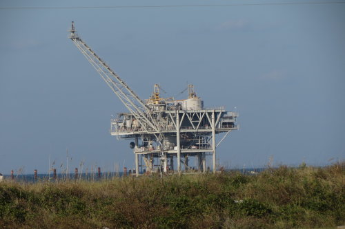
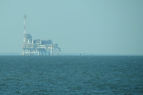
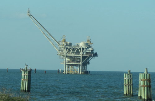
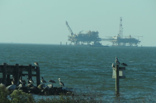
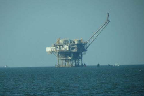
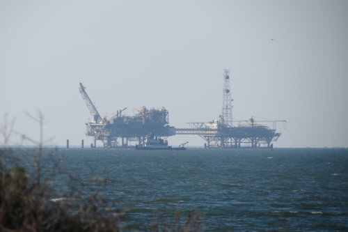
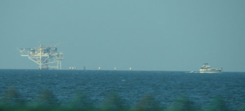
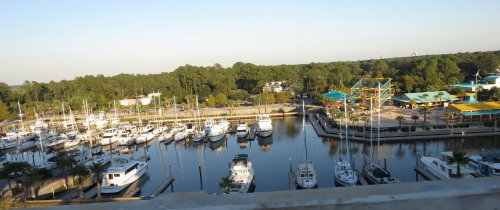
We worked hard to get photographs of oil platforms during the early part of our travels along the Gulf. Today, just off the shore at Fort Morgan, we could almost reach out and touch them - with a zoom lens.
 .
.
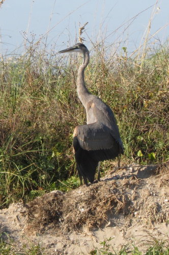
And, a little nature .
. . a heron.
Back towards Gulf Shores . . .
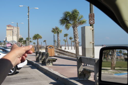
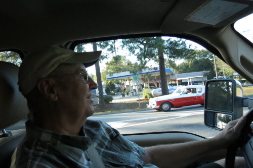
No. Fred is not making a photograph of how Greg concentrates when he drives - he wanted a photograph of the Studebaker.
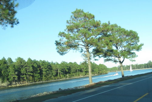
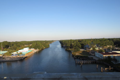
 Intracoastal
Waterway . . .
Intracoastal
Waterway . . .
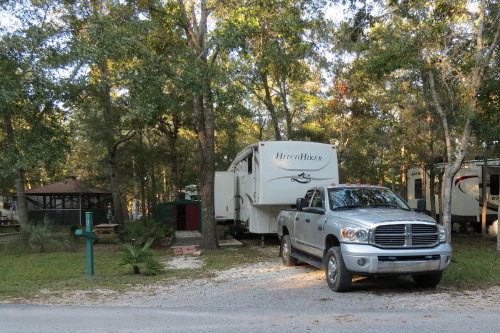
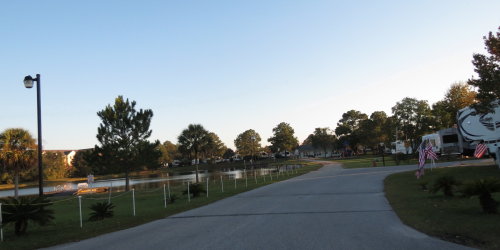
We appreciated them chauffeuring us around the Gulf Shores area - including their campground.
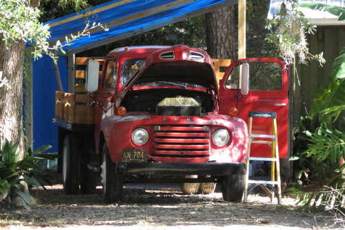 On
our way out of our campground, one of the neighbors was working on his truck.
On
our way out of our campground, one of the neighbors was working on his truck.
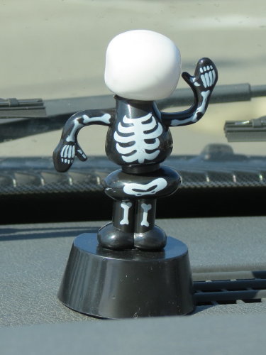 Is
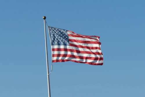
our solar skeleton waving good by?
Is
our solar skeleton waving good by?
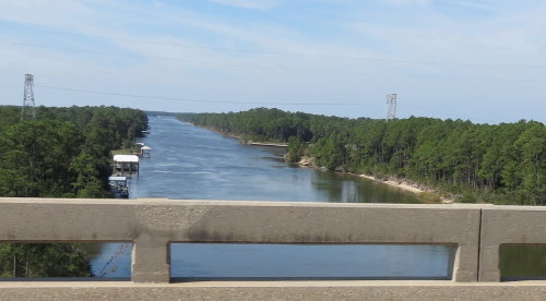
The Intracoastal waterway . . . again.
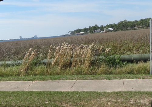
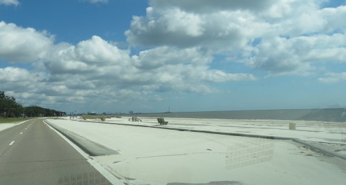
The work of moving sand is an on-going activity. They do an admiral job keeping the roads clear and beaches usable.


Our travel along this section of the north coast of the of the Gulf of Mexico was a very informative experience. The coastline of the Gulf was the last part of the country we wanted to visit. It has been on our 'to visit' areas for years. This page is part 1 of 2, our time is the panhandle of Florida is part 2 of 2.